- Ethie Haven to Tentsmuir
- 35 kms
I made some good decisions and some poor ones today. My best was opting to have a slice of coffee and walnut cake as a dessert after my full breakfast at The Old Boatyard in Arbroath. My worst was putting myself in a position where I needed the last reserves of energy it gave me to make it ashore.
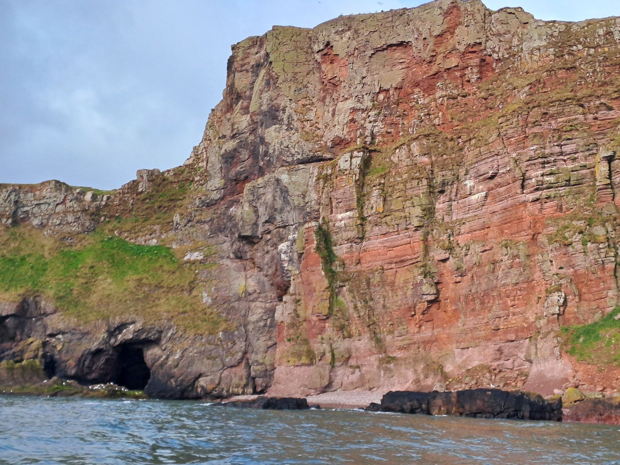
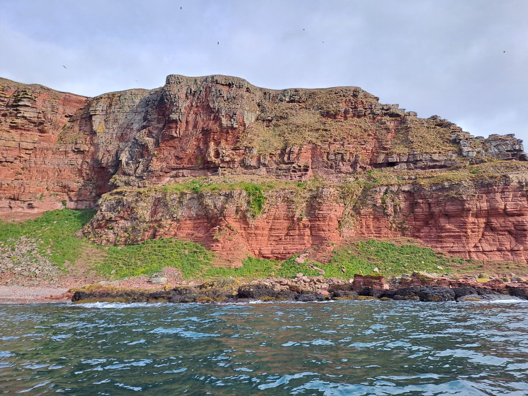
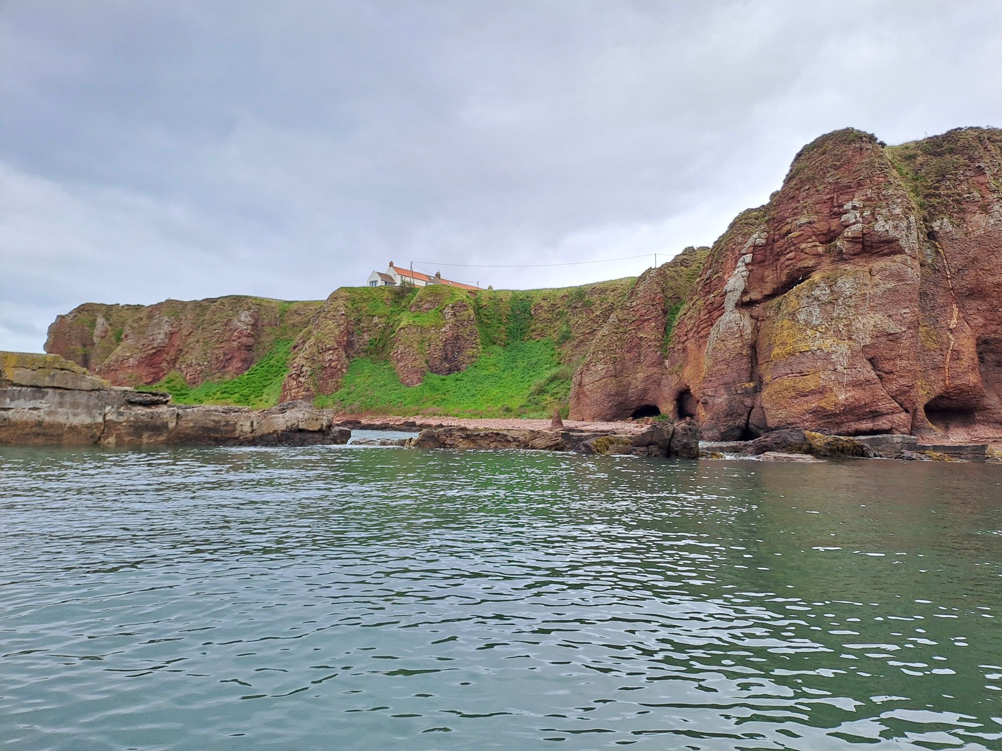
The day started well. I was up early and heading south past another stunning coastline soon after 8 am. The winds were light, but the forecast wasn’t particularly great – SW and W winds F3 to F5.
As I rounded the first corner, I was greeted by a single otter. He/she was finishing off the last bit of a tasty morsel and soon disappeared under the water again, no doubt, in search of another crab to munch on.
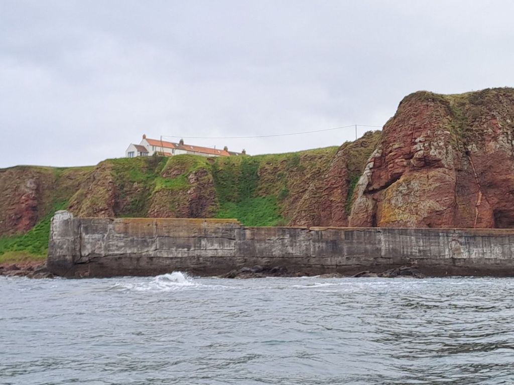
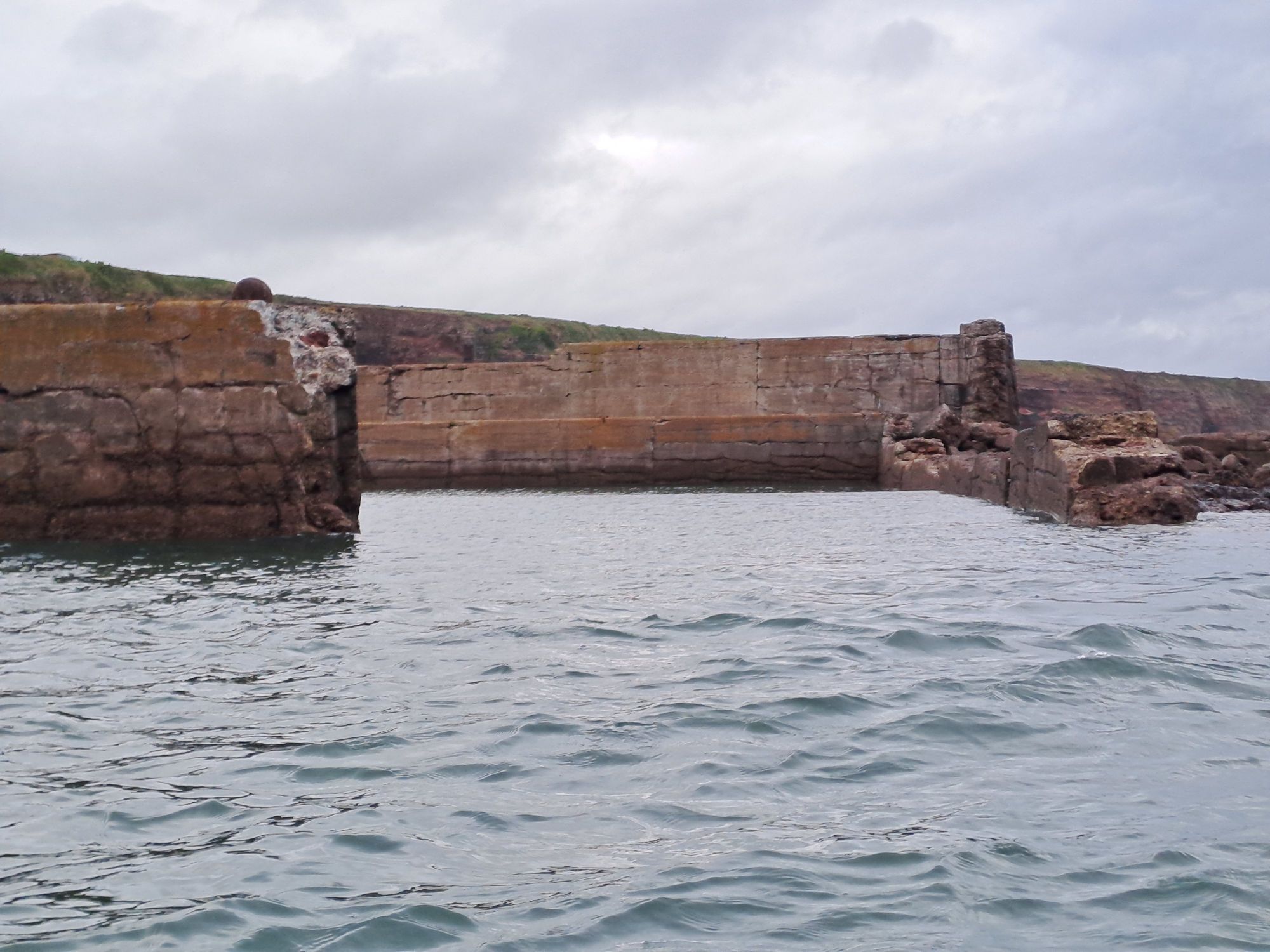
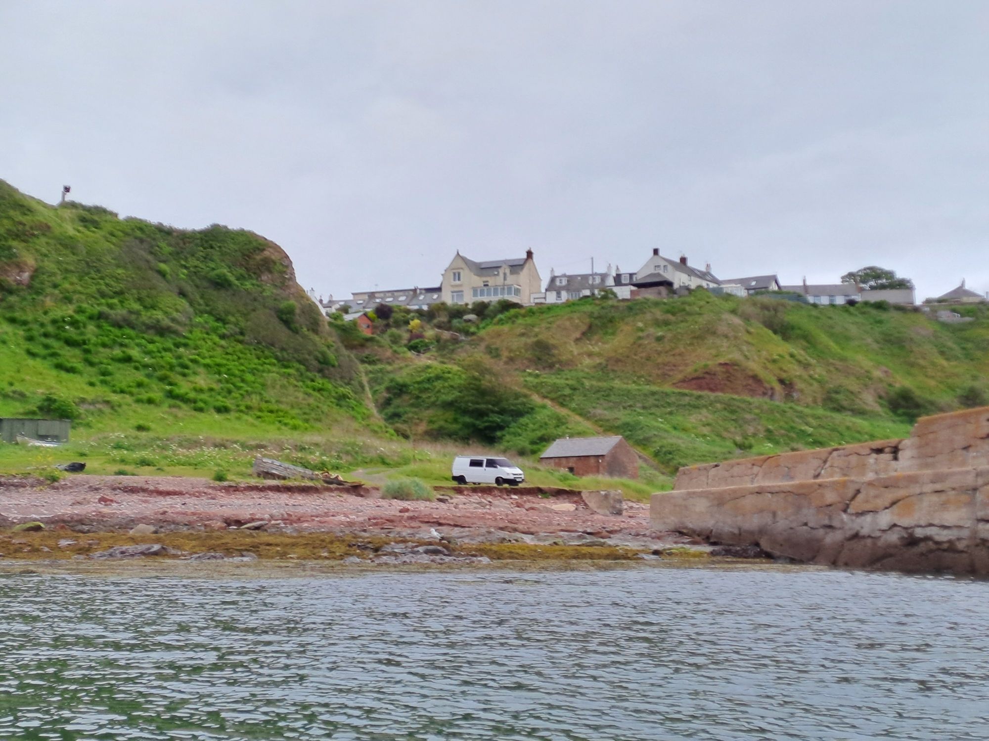
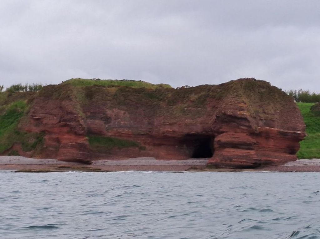
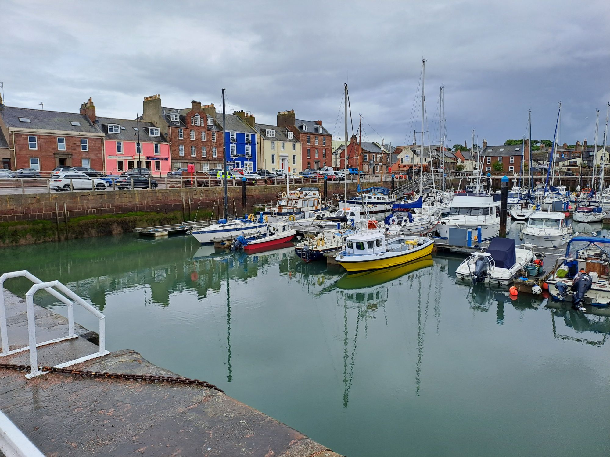
I did a short tour of Auchmithie Harbour, or at least, what’s left of it. It doesn’t look as though many boats make use of it now.
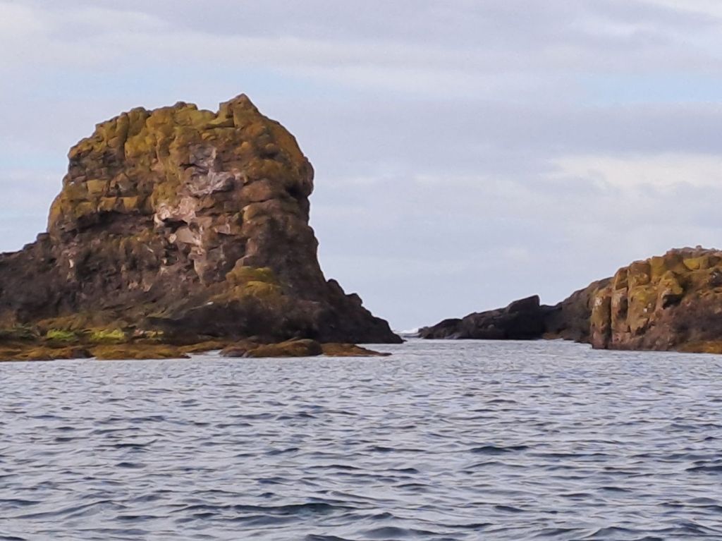
Many of the cliffs had shingle at the bottom, so although there was a half metre north sea swell running, there was very little reflection coming back from the cliffs.
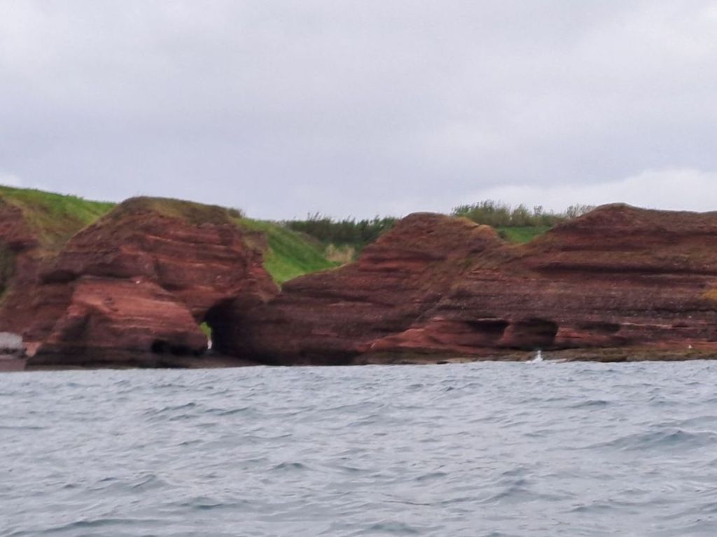
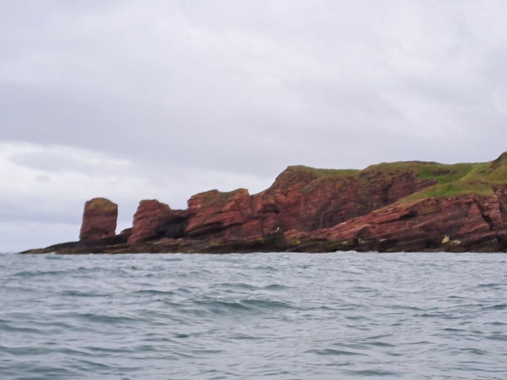
The last section of cliffs after the Deil’s Head were the exception, and the clapotis was quite substantial. It was here that a small pod of dolphin, heading north, swam past. There was no possibility of getting my phone out to snap some photos as I needed my hands on the paddle.
It was just before 10 am when I beached my boat on the gently slopping sandy beach in the outer harbour beneath the attractive Signal Tower Museum building. I had time to change out of my wet paddling gear before The Old Boatyard Restaurant by the harbour opened at 10.
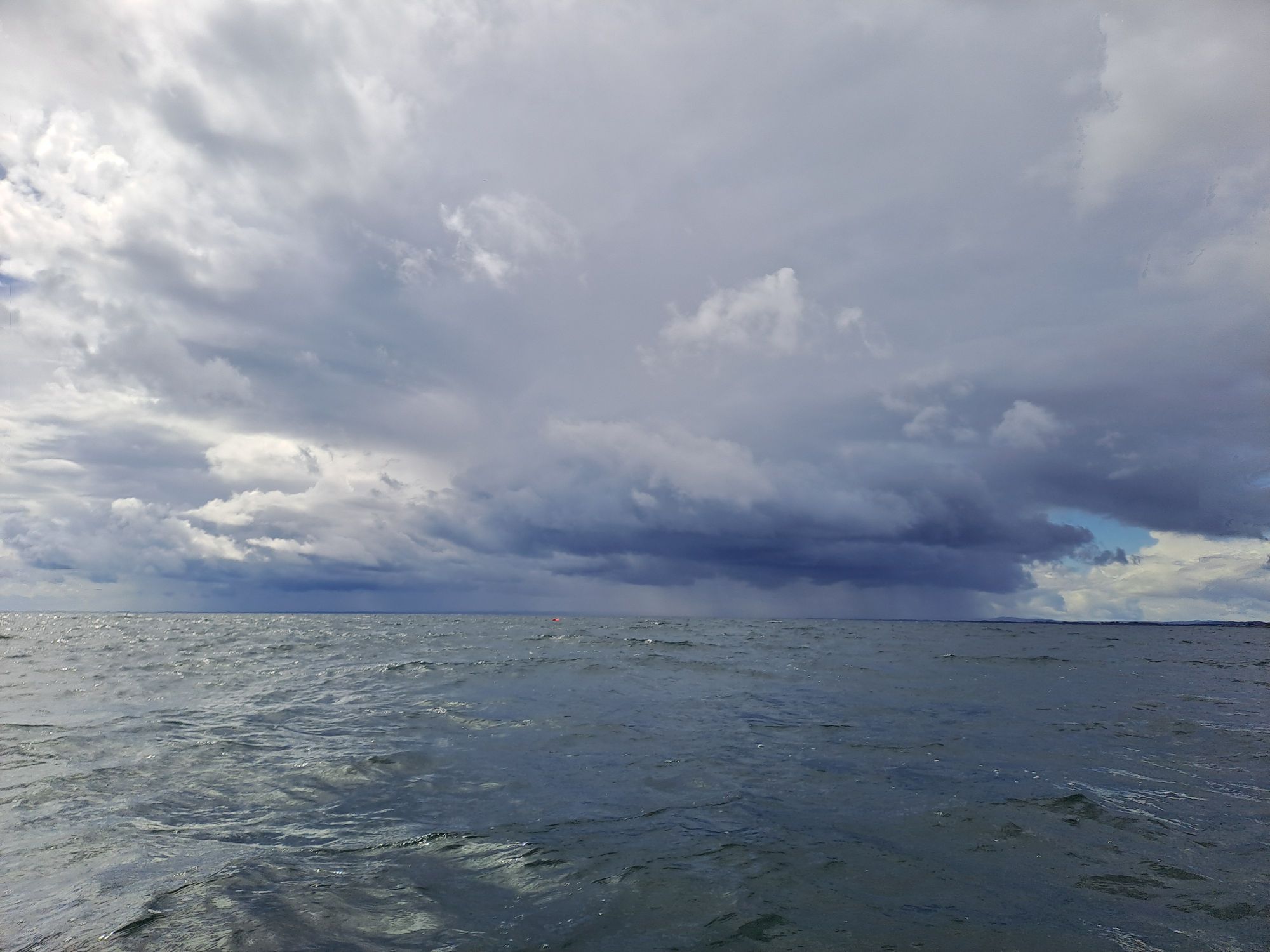
Before the breakfast stop, the wind had picked up to a steady F4, and I was preparing myself for a slog along the coast to Carnoustie. However, a heavy rain shower passed over when I was in the restaurant, and both the sea and wind had calmed down considerably when I set off again.

When I exited the harbour, I could see the shore south of the Tay and picked a point to head for. I was on a bearing of 210 degrees, getting slowly further from the northern shore. If the wind did pick up, I could always change my course more westerly to regain the shore. I was going to maintain my course until I was due north of the eastern end of the substantial sandbar on the southern side of Tay Estuary and then head south.
As I got closer to my turning point, I could see the inner channel marker buoys. I changed direction slightly to head directly towards the starboard one. Turning south at the buoy and crossing the channel at right angles would put me in the shipping lane for as short a time as possible. I attempted to take a photo before crossing, to take in the two channel buoys and the marker point on the shore I’d been heading for, but I ended up broadside on to a short period steep sided sea. Not a comfortable position to be in with paddle on the deck and phone in hand. Time to concentrate on the job at hand.
I passed close enough to the port buoy that I could read its name (Inner Red) and see that there was only a very slight easterly current running. I was crossing at the ideal time – just before slack water.
At this point, I felt everything had gone well and that my decisions had been good ones. I continued to paddle southward until south of the sandbar and then headed back on my 210 course towards the reliable markers on the shore. As the westerly wind strengthened, it started to dawn on me that my shore marker was further south than I realised (just north of St Andrews) and that I was six kilometres offshore.
I headed west, directly into the wind and sea, and paddled hard. If it hadn’t been for my GPS telling me that I was making steady progress, I wouldn’t have believed the distant trees of Tentsmuir Forest were getting any closer. It took two hours of non-stop hard paddling to finally regain the shore.
My hardest day of the trip so far. I’ll be happy for it to remain that way.

Leave a reply to Ian Diaper Cancel reply