- Nairn to Lossiemouth
- 43 kms
High tide was at 6.30, and a slight easterly flow would run most of the morning to provide my slow-moving kayak a little assistance. An early start was on the cards.
The Meadows had been a great place to recharge. Wanda, the host with her two dogs, provided everything we needed but left us to enjoy our break.
We were back at the Nairn Harbour slip at 6.30. The boat was easily packed, the Coastguard informed (on my new replacement VHF), and hugs exchanged before I set off to sea once again.
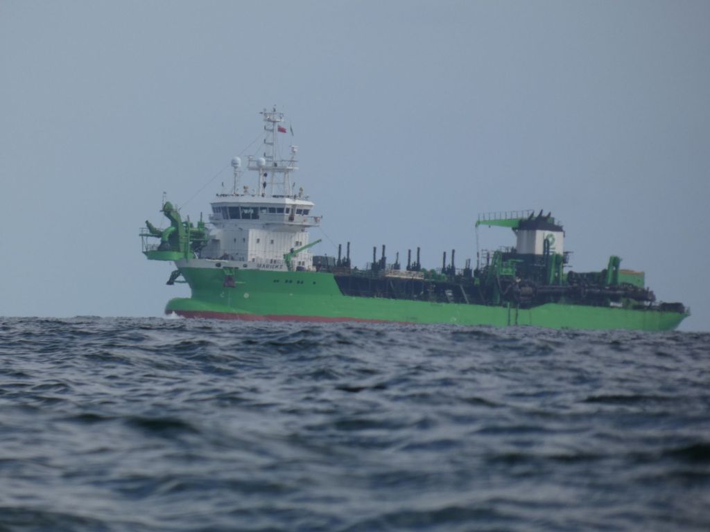
The coast between Nairn and Findhorn is low and flat with the Culbin Forest behind dunes and sandbars. Not much to draw the eye. On the north coast of the Moray Firth, I could see gorse covered cliffs, but as I progressed eastwards, the coast grew more and more distant. There wasn’t much boat traffic on the Firth, but I did have the regular passings of the green work boats taking their sand out to be dumped at sea.
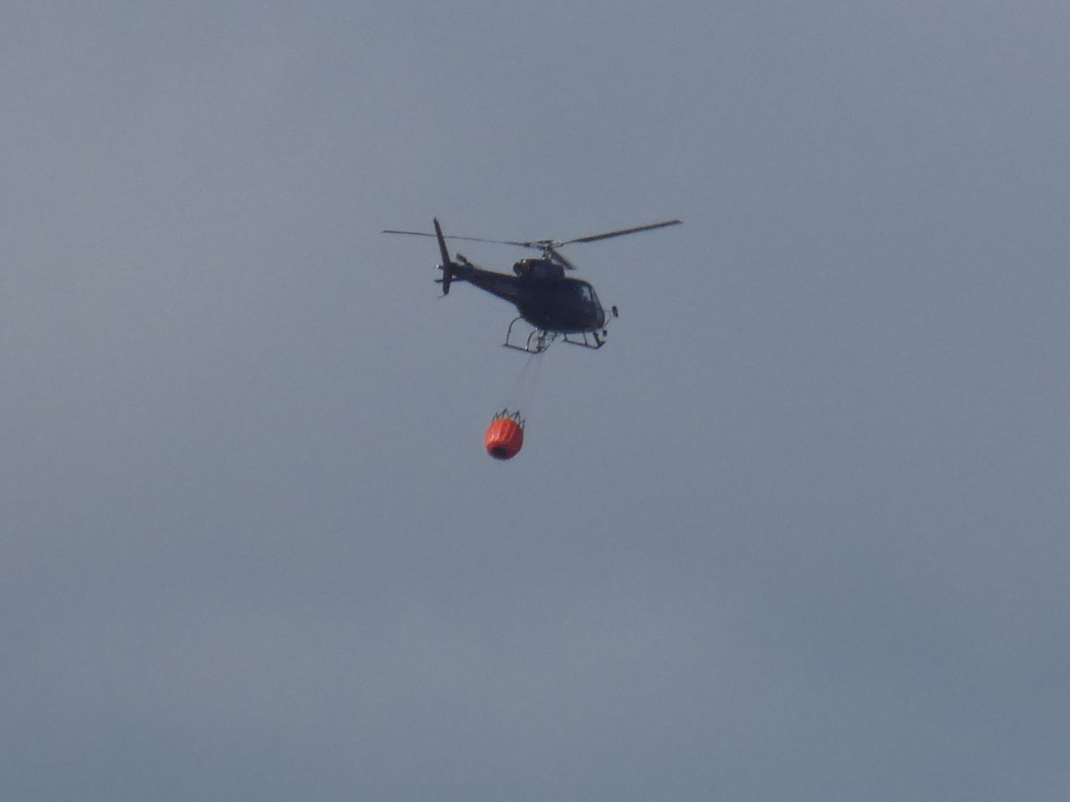
When out in Nairn over the last couple of days, we’d regularly seen smoke to the east, and Mike mentioned a report of firefighters tackling a grass fire. I no longer saw the smoke, but a helicopter was out collecting water and dropping it not far from the coast.
I paddled past Findhorn, a stop there would have entailed landing on a surfy beach or a long detour into the bay. I chose to investigate the small fishing harbours of Burghead and Hopeman instead.
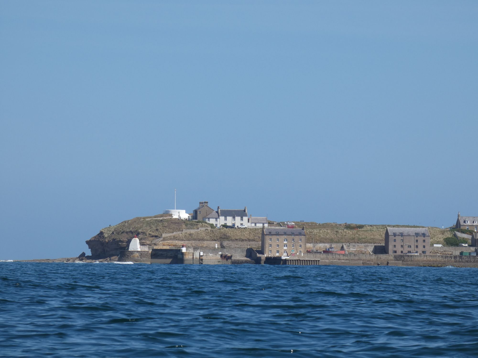
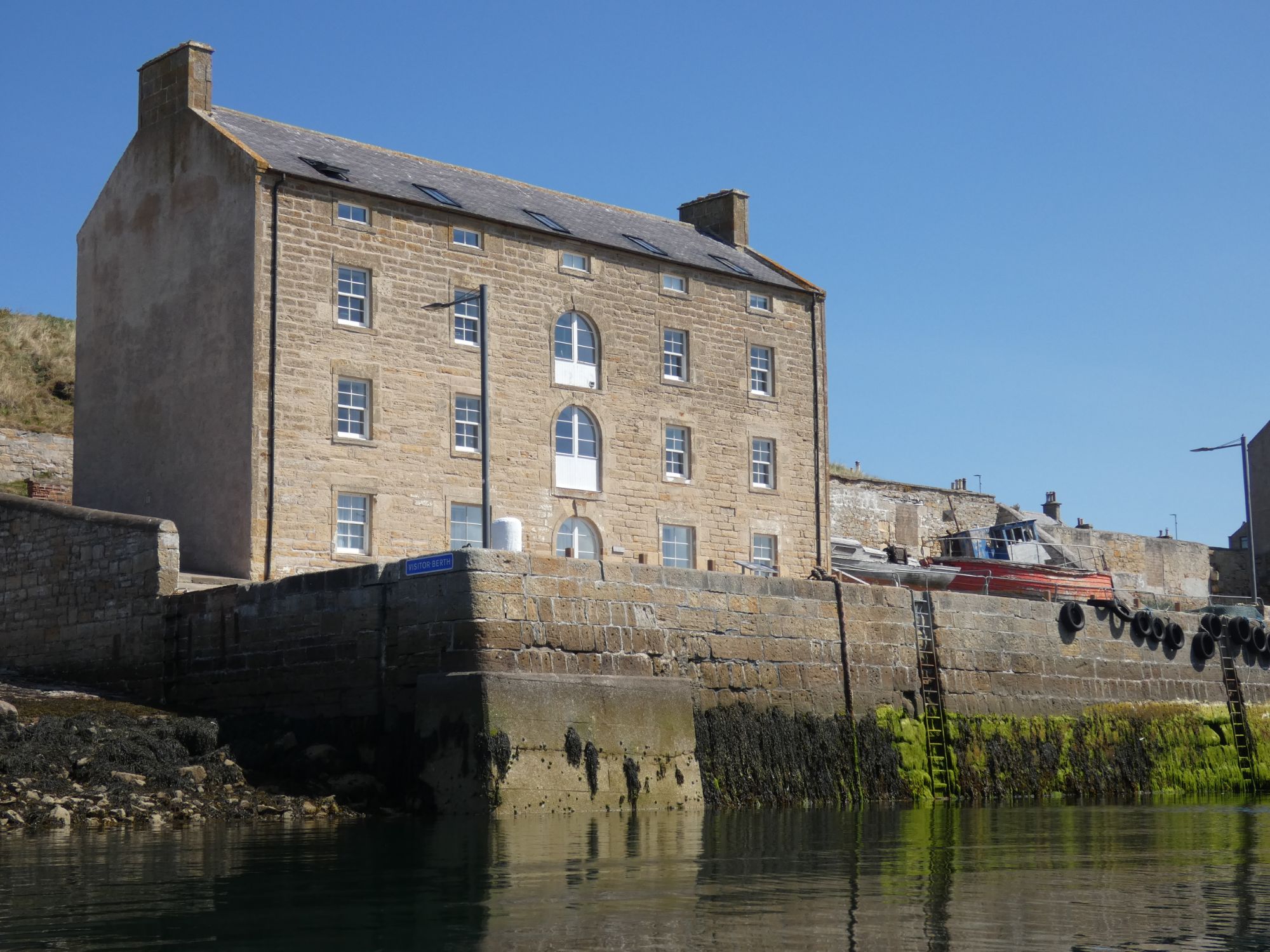
In Burghead, there were toilets and convenient picnic tables on a grassy area close to the harbour. The perfect spot for lunch and getting warmed in the sun watching the men working on their nets.

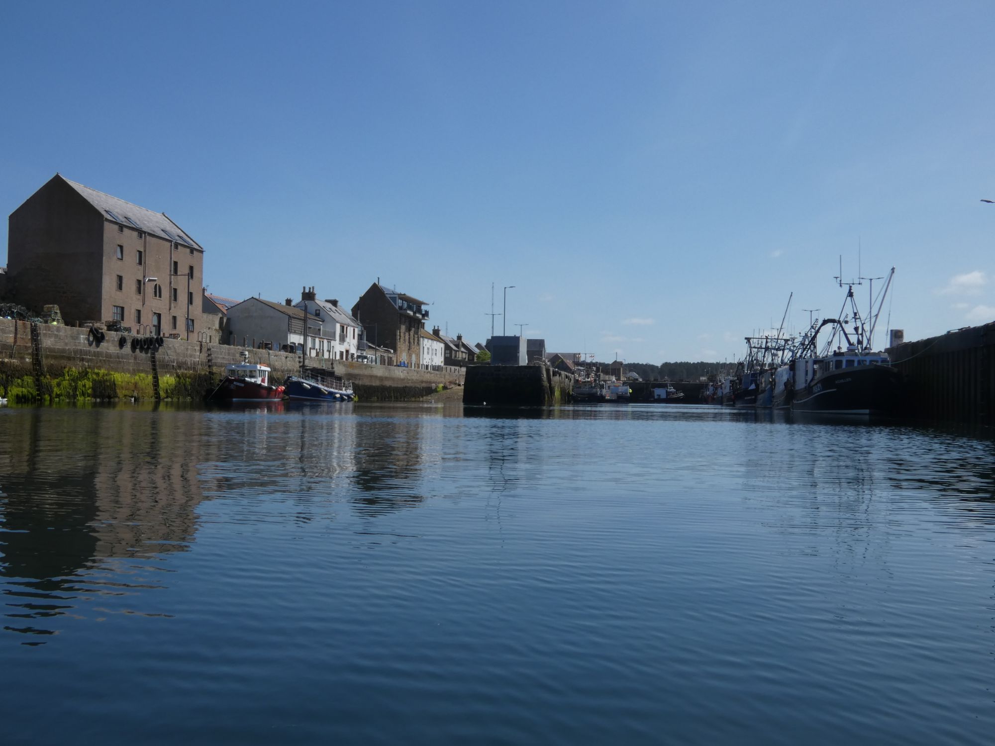
Hopeman is only a few kilometres east of Burghead. I didn’t need to stop again, but as I was passing close by, I took a wee nosey around the harbour.

I had considered stopping for the day at Hopeman but felt I still had the time and energy left to make it another 10 kms to Lossiemouth.
The coastline was more interesting now, but, as with my approach to Nairn, my mind was thinking ahead to exit at Lossiemouth. The north easterly wind had been blowing for a week now, and there was a good North Sea swell rolling into the Moray Firth.
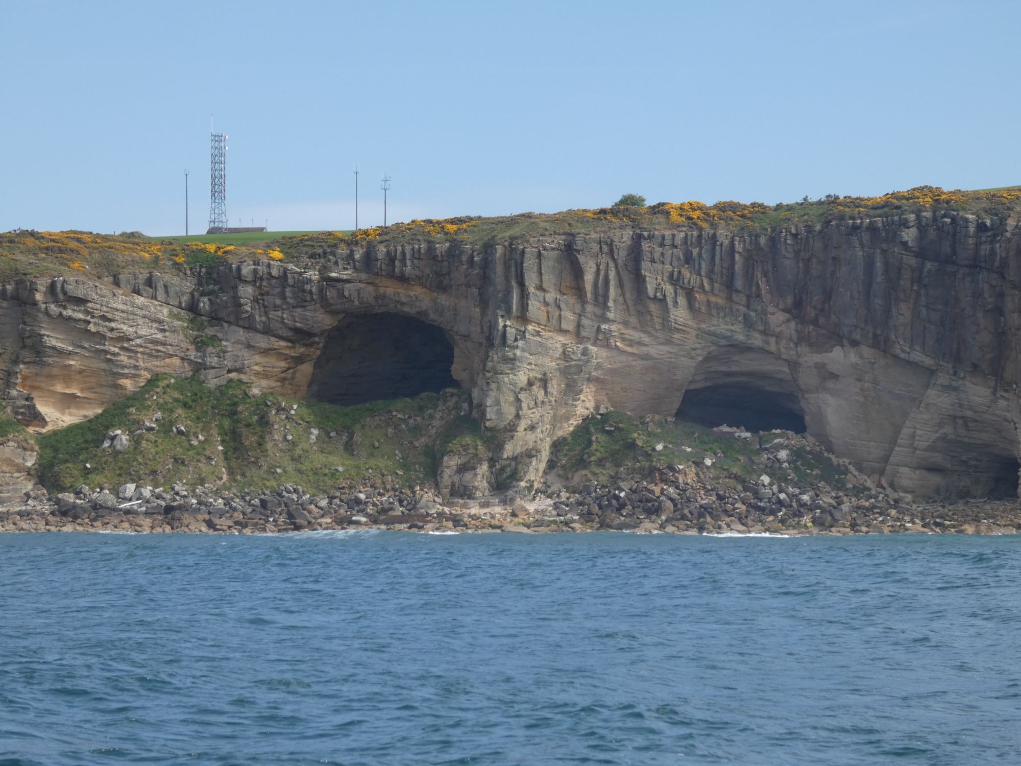
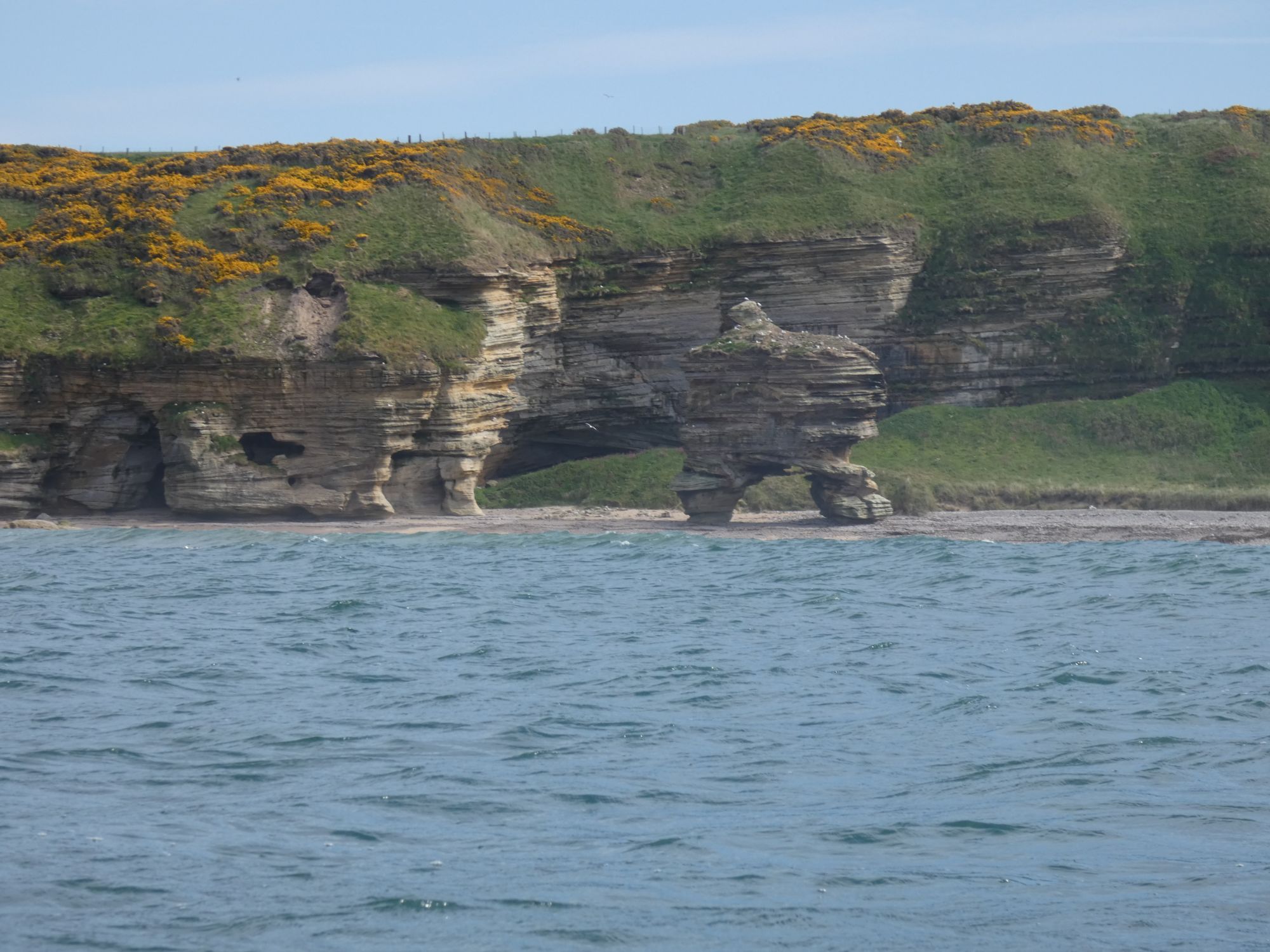
I passed between the Covesea Skerries and the prominent lighthouse to the west of Lossiemouth. A few hardy paddle boarders were out surfing on the outside of the skerries. I watched one surf into the north side, walk a few yards on the rocks, and then confidently set off across the choppy chanel with his paddle towards the lighthouse on the shore. I needed his confidence for my approach to Lossiemouth.
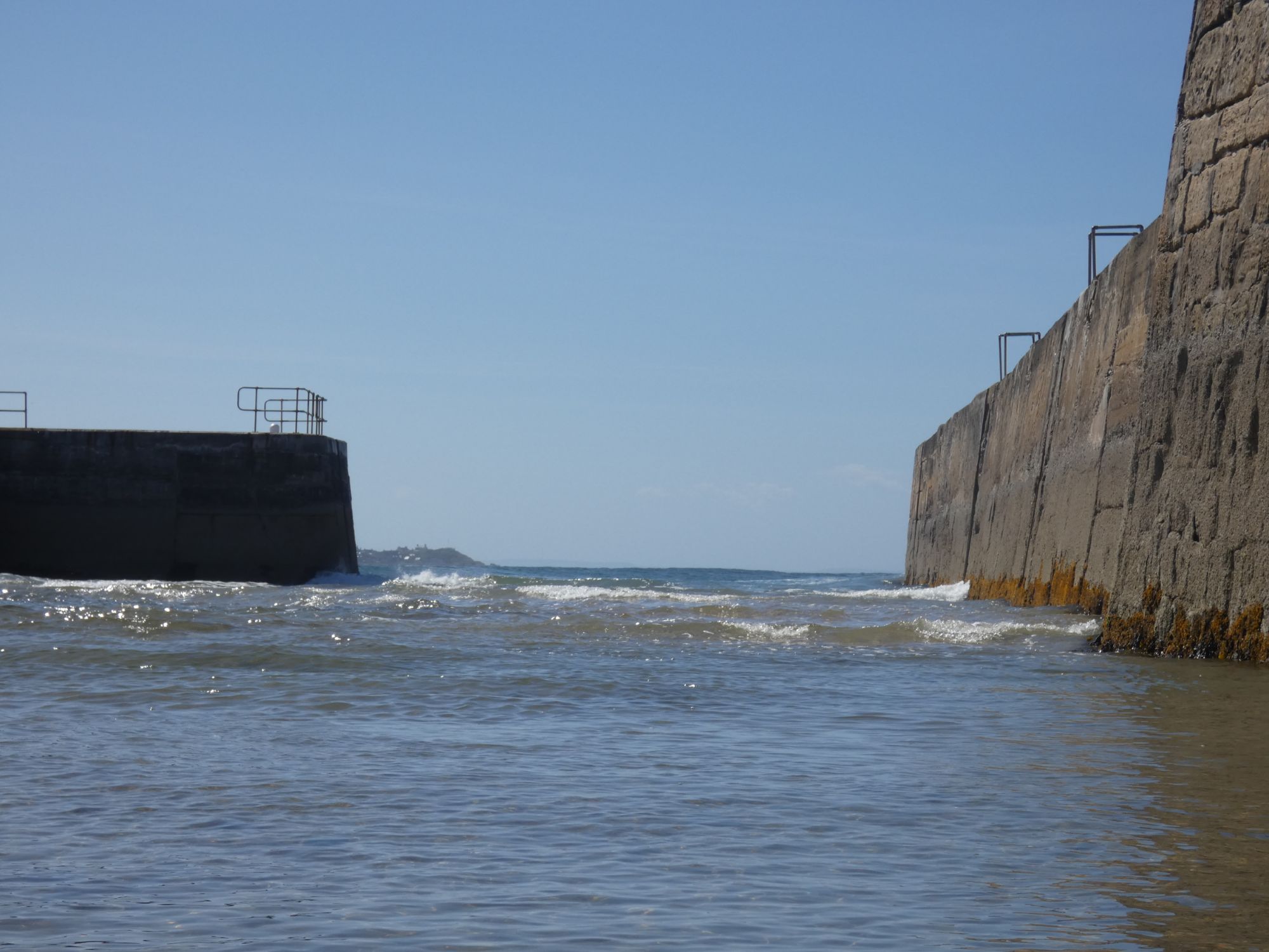
I found my gap to the west of the harbour. The energy from the swell was dissipated on skerries further out, and I was able to negotiate a landing at the east end of the shore carpark.
I trolleyed my kayak a few hundred metres west to set up camp in some dunes away from the carpark. After setting up camp, I still had time to get an hour of warmth at the The Beach Hut café and bar.
A slightly longer day than I would have liked.

Leave a reply to Ian Diaper Cancel reply