Category: West Coast

  • Day 10 – Tube fed fish

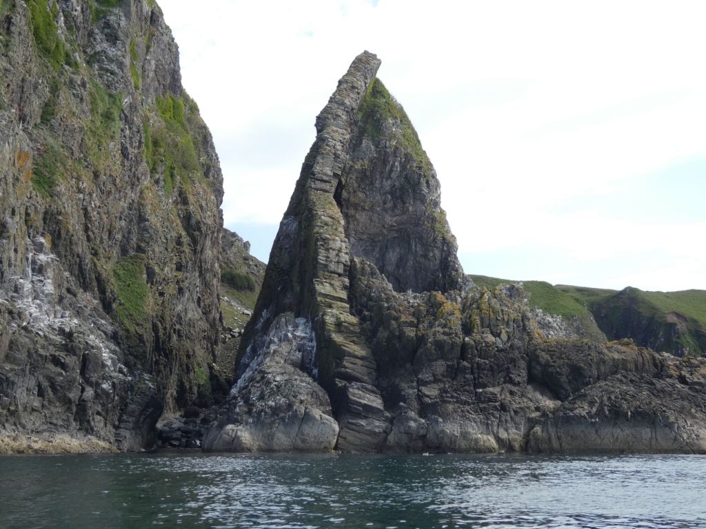
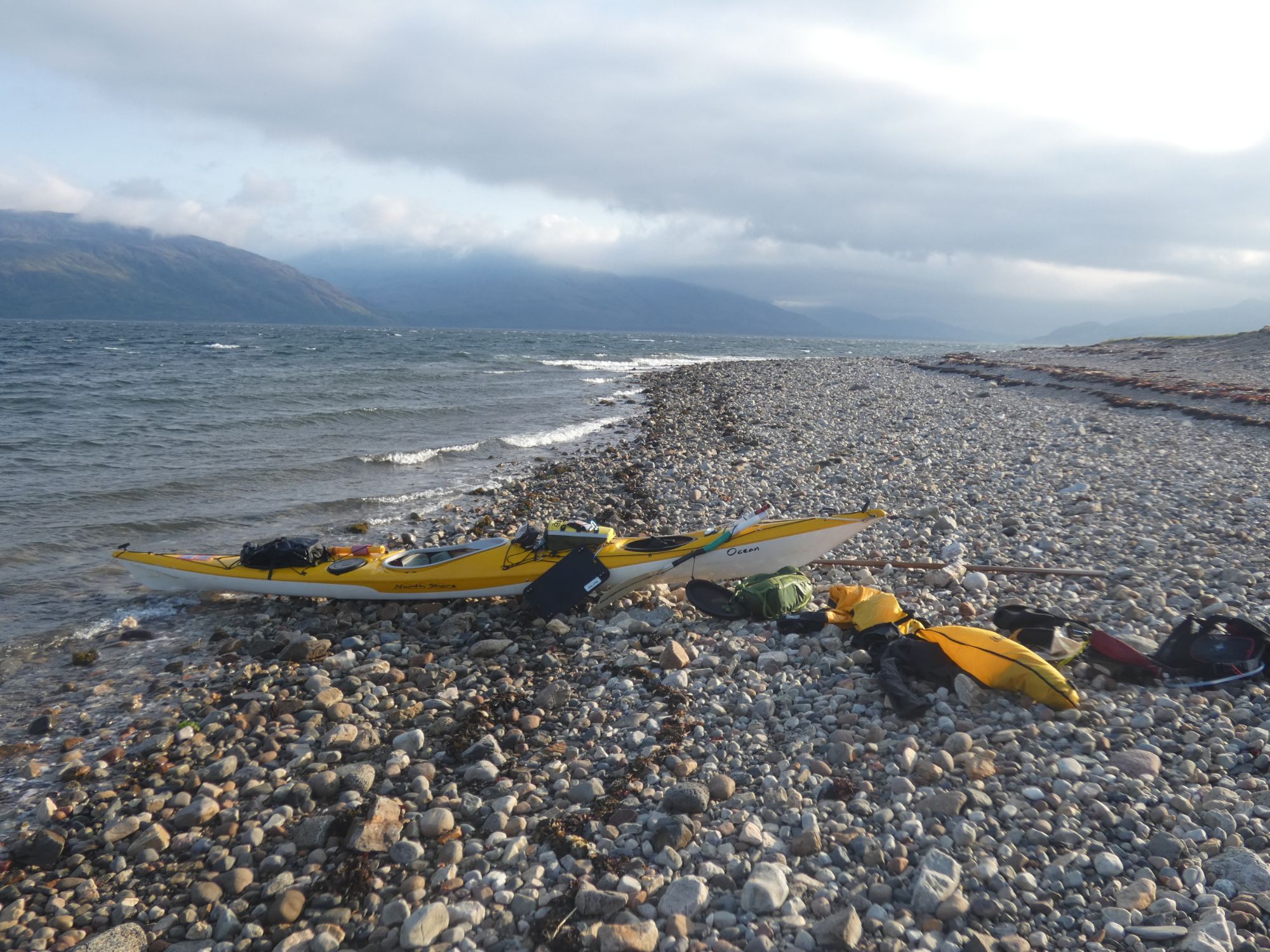
    • Dalnatrat to Corpach
    • 30 kms

    The plan was to get up early, be otw (on the water) by 6am, paddle hard up to Corran to get through the narrows before the ebb started, and then take it easy up to Fort William. If I made it to Fort William before 2 p.m., I might  consider doing the first part of the canal up to Moy – the first permitted camping area.

    The plan failed miserably.

    I was constantly on the move over breakfast as there was no wind to keep the midges at bay. When I set off, 20 minutes behind schedule, the wind had suddenly picked up. I soon found myself battling against an F4 northerly with a short choppy sea. I thought it might blow over quickly, but after an hour, with a cold wet t-shirt, I decided it was time to get dressed for the conditions.

    Pit stop for fresh shirt and a cag.

    The Corran narrows were still a speck in the distance at the time the flow changed.

    Two more hours of hard paddling and still a kilometre short of the narrows, I took a rest.

    A few flowers to distract me from my battle.
    Looking east towards the Ballachulish bridge and Glen Coe.

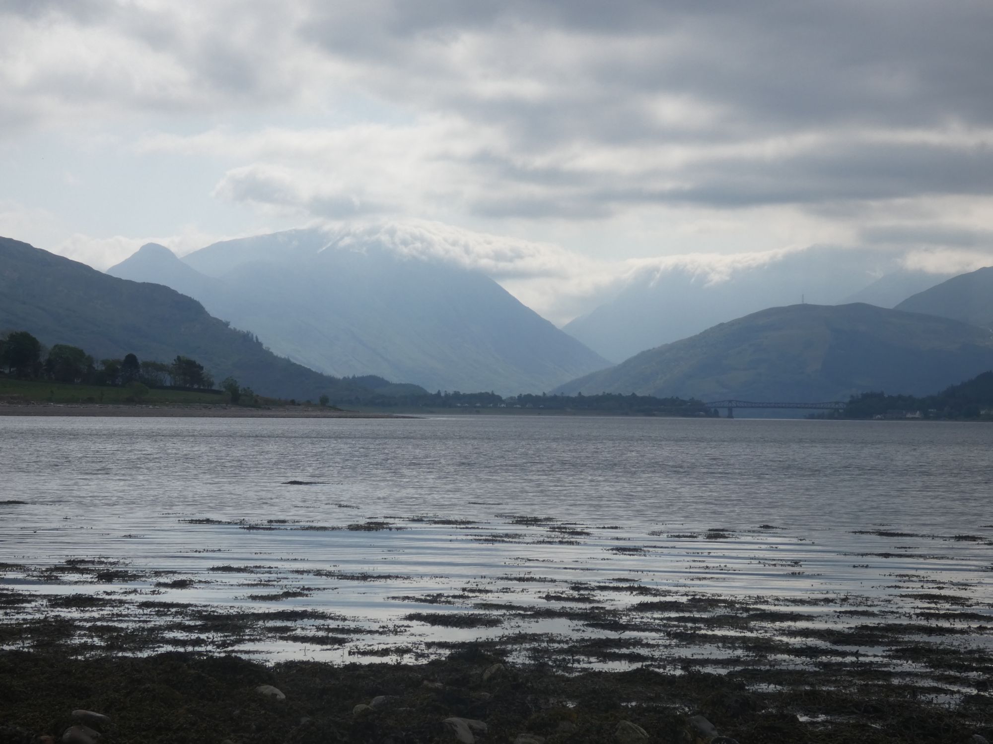
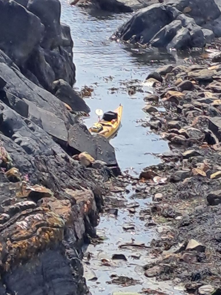
    At the narrows, I decided to ferry glide across to the west side of the Loch – maybe there’d be some shelter from the wind over there. The crossing went smoothly, and I only lost a few hundred metres to the current. However, I still had to get past the point where the current ran fastest. It took a serious amount of effort. The shore just inched by on the left side until the current finally eased up on the other side of the ferry ramp.

    The Corran ferry showing how a ferry glide is done.

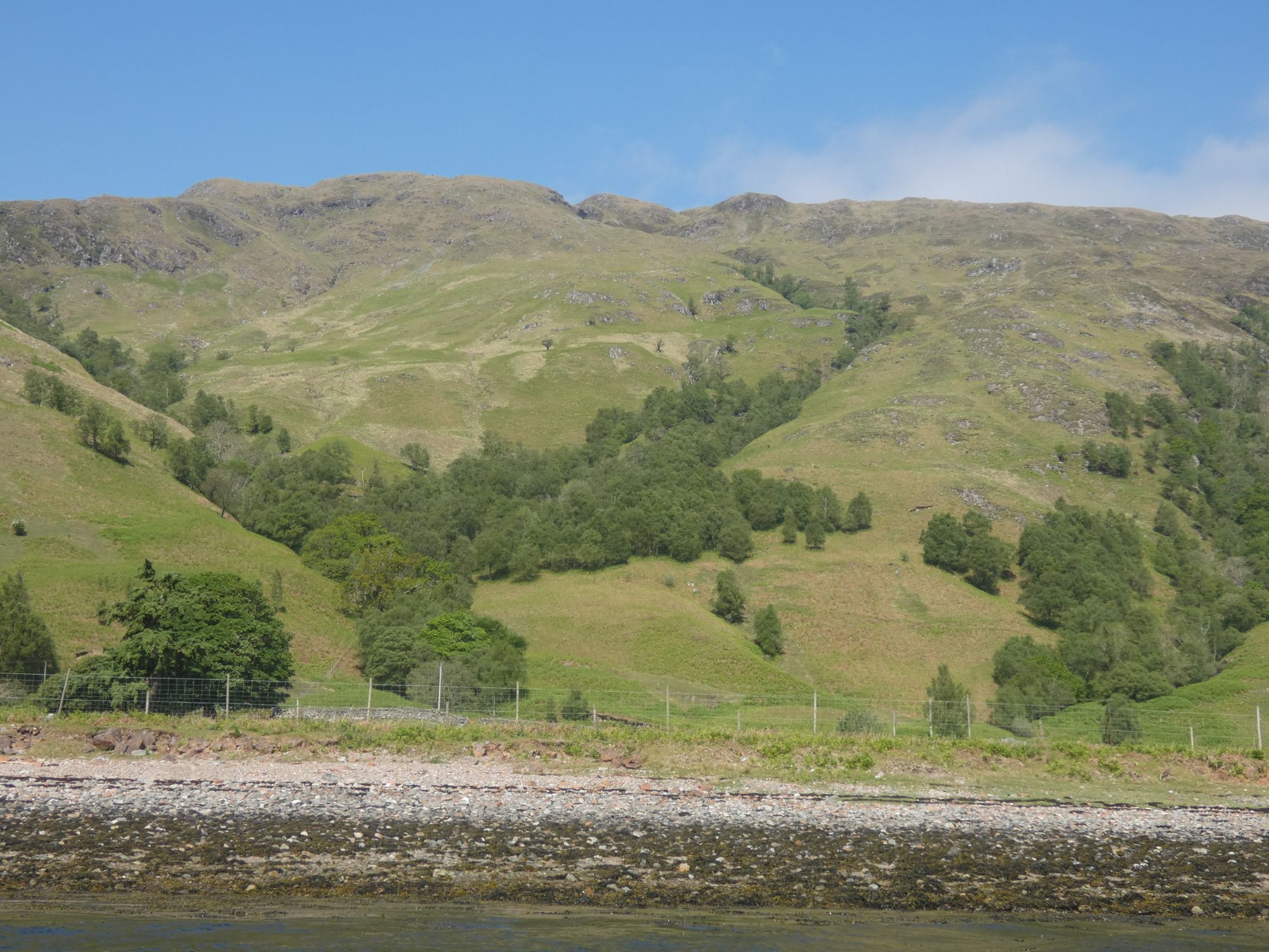
    There was no more shelter from the wind on the west side than there had been on the east. To make matters worse, I was forced to stay 500 metres offshore to clear a fish farm. On the bright side, the sun was now shining.

    Attractive hillside in the sun.
    At lunchtime, Ben Nevis finally put in an appearance.

    After lunch, I started to feel the impact of my short 4 hours of sleep last night. I was falling asleep at the paddle. I decided to stop again for short nap. When I awoke after 30 minutes, conditions had changed dramatically. The wind had gone completely, and I was able to switch back to wearing just a t-shirt again.

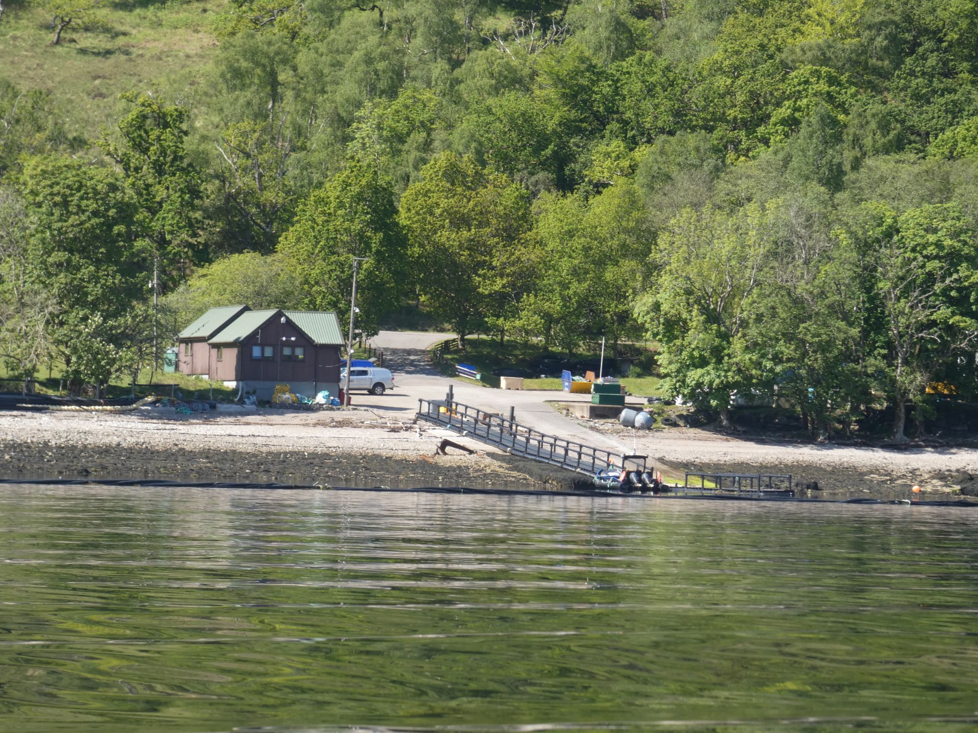
    Paul and I did this section of the route last year. On that paddle, we’d got caught out by this next fish farm. We’d attempted to paddle between it and the west shore but had had to turn back and go round when our path was obstructed by plastic tubes used to send food from the shore facilities directly to the fish enclosures.

    As well as the inconvenience, forcing paddlers away from the shoreline has the potential to cause real safety issues when the weather conditions are poor.

    Tubes at fish enclosure end.
    Shore facilities with tubes heading out to fish enclosures.

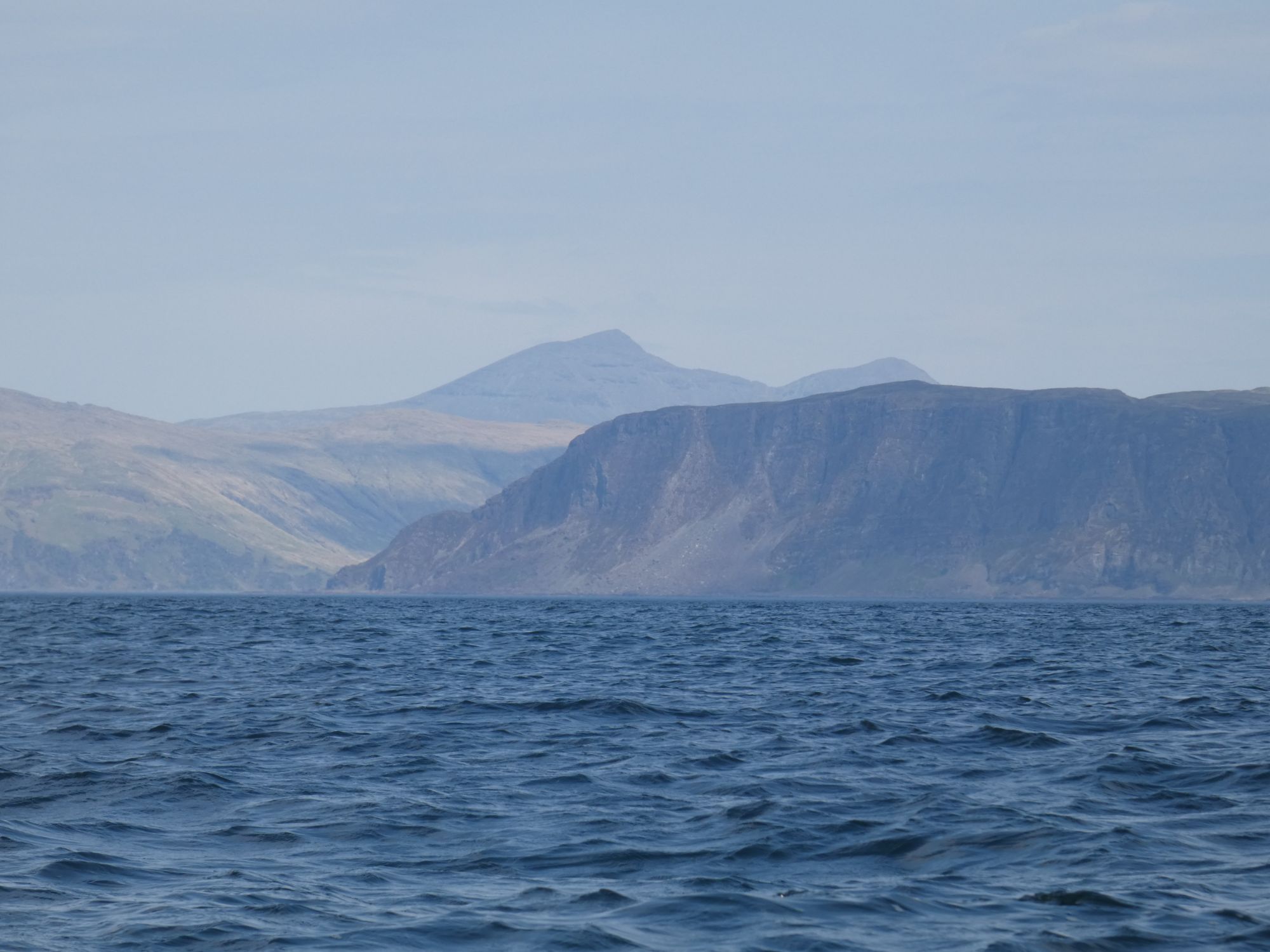
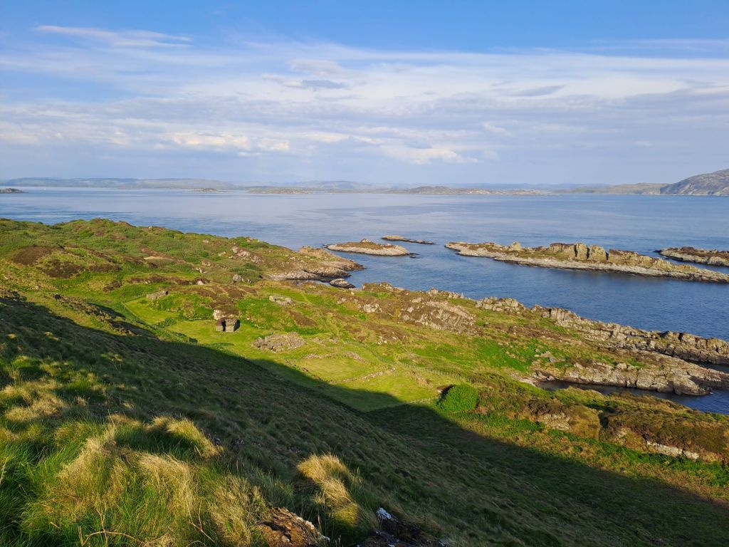
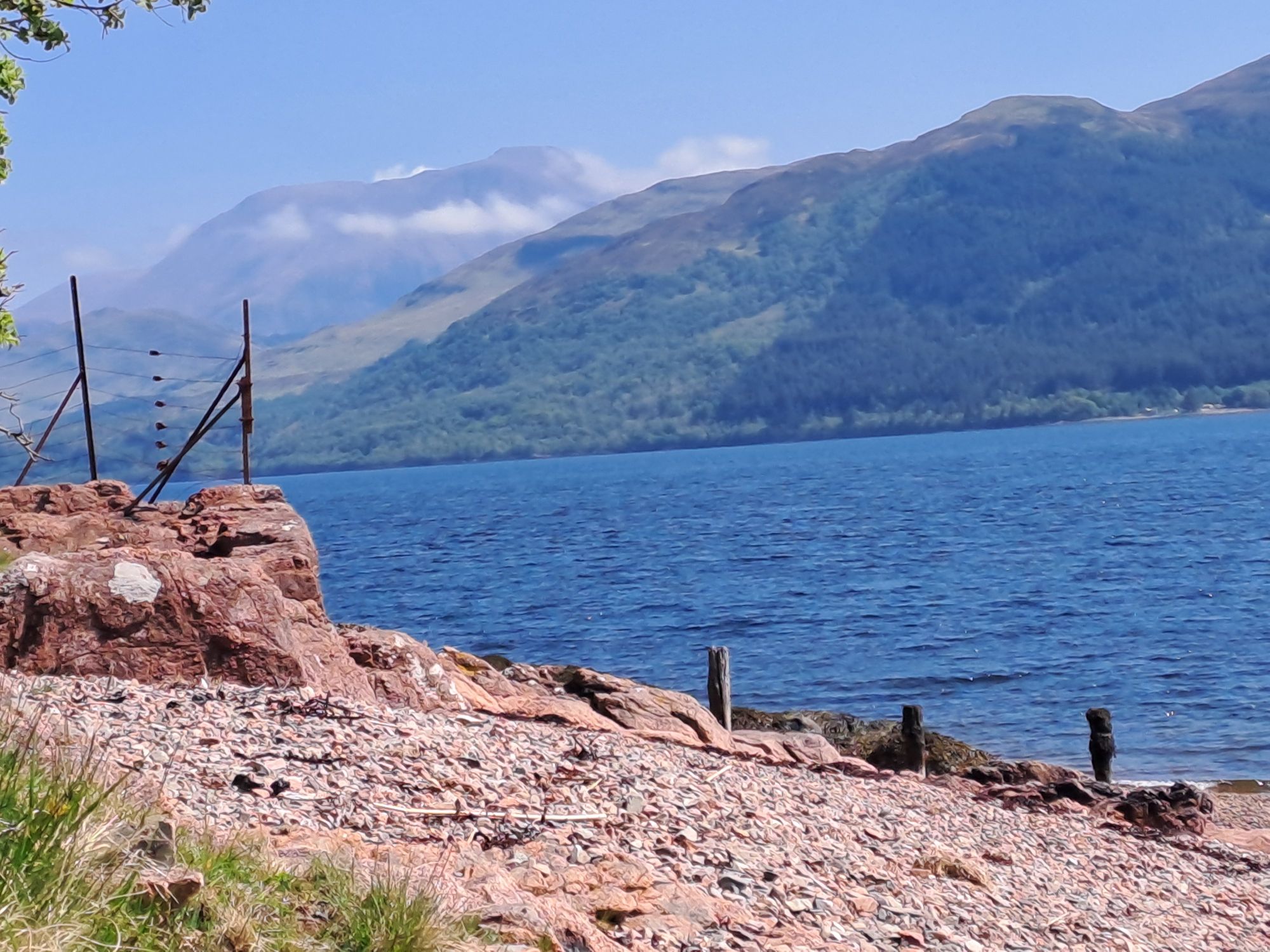
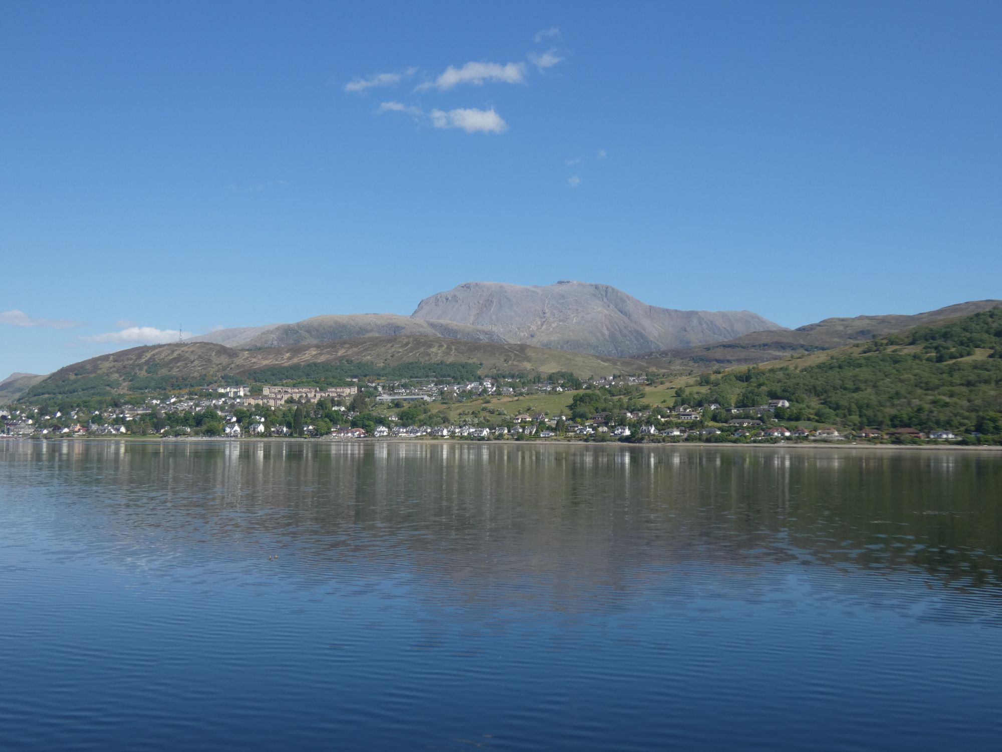
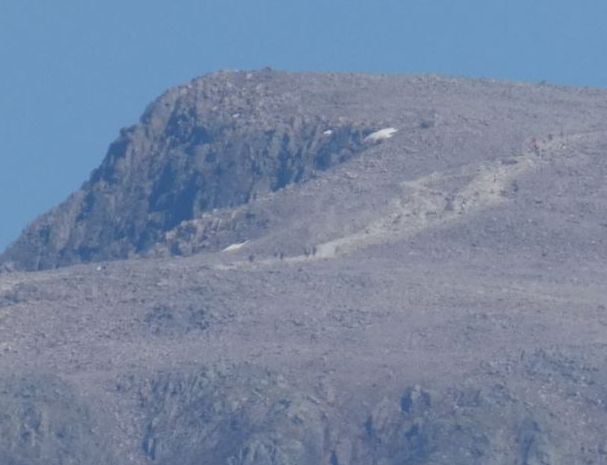
    The rest of my paddle up to and past Fort William was easy and done at speed now that the wind had gone. There were perfect views of Ben Nevis the whole way up.

    Ben Nevis and the southern outskirts of Fort William.
    Hikers approaching the top.

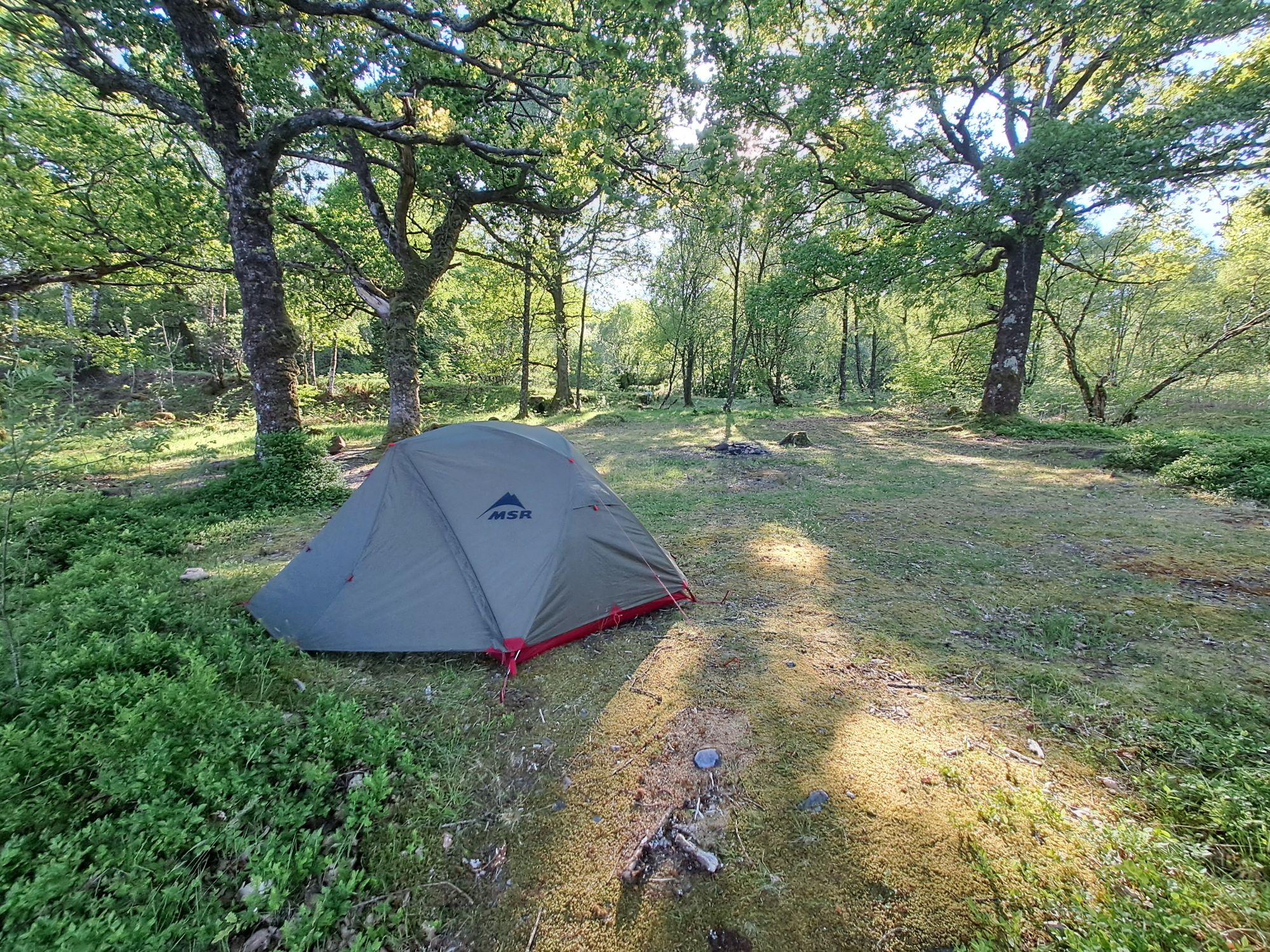
    My opportunity to do the first part of the Caledonian Canal had long passed, so I camped opposite, ready to take it on first thing in the morning.

    Camping in an Oak wood.
  • Day 9 – I unclog my nose in your direction

    • Gallanach to Dalnatrat
    • 31 kms

    I had three main objectives for today: have a seafood meal in Oban, take photos at Castle Stalker, and get as far up Loch Linnhe as I could. Objective three was definitely compromised by the first two.

    The flood flow going up Loch Linnhe didn’t start until 11.30, so I used this as an excuse for a relaxed start to the day. In truth, the currents in Loch Linnhe are not particularly strong and only cause problems in a couple of locations.

    The 2nd of my cycling neighbours, a young Dutch man, was also planning an Outer Hebridean cycle. Today, however, he was taking a break from cycling and doing a boat trip to Staffa. A great thing to do any day, but with the sun and light winds today, he was in for a real treat.

    I finally rolled my kayak down to the dive centre at 10 am. My out of hours arrival yesterday had been caught on cctv, so my £1 launch fee was doubled to £2. Still a bargain considering the other options.

    It was just a short paddle up to Oban, during which I pondered the options for landing there. In the past, I’ve always landed on the strip of beach below the main road in the centre of town. When the tide is out, it’s rough, gentle slopping and seaweedy. This is not a problem with two or more people as you can carry a loaded kayak a short distance up the beach to deal with the tidal movement for an hour in town. With one person, this is not possible. Even with the trolley, you need to offload kit before attempting to roll it over rough stuff. I would prefer another option.

    On entering Oban bay from the south, I went under a walkway that led to a pontoon with many yacht tenders tied to it. This turned out to be the solution to my problem. For a mere £2 I could leave my kayak here and walk into town for that much anticipated seafood snack.

    Envelope with easy to understand mooring charges.
    West Coast Scallops
    Oban in the sun. With the rough beach in avoided
    The view out to Mull from above my pontoon mooring.

    The yacht moored next to me on the pontoon had sailed up from Southampton to take part in the Scottish Islands Peak Race beginning tomorrow – Ben More on Mull, The Paps of Jura & Goatfell on Arran. I’ll be keeping an eye out for Tahira of Beaulieu in the results table.

    I set off again across the bay, crossing the channel at the narrow buoyed entrance where it is easy to see what is coming and nip across quite quickly. There are two quite different buildings on either side of the channel here.

    A “des res” on the Kerrera side.
    Maybe once a “des res” on the mainland.

    Once out of the bay and past Ganavan beach, I headed north towards Lismore until I was in the centre of the channel. At this point I headed NE, hoping to make the most of any tidal assistance. I only really noticed the push at the north end of Lismore. After this I headed into the shallow waters around Castle Stalker. There was just enough water to allow me to get all the way around it. This is one of the castles used in filming the French taunting scenes in Monty Python’s The Holy Grail. Everyone likes a Monty Python quote, but I’ll leave it for those interested to match up my castle photo with a YouTube clip. More interestingly, my deviation gave me the surprise opportunity to get a clip of a young otter clambering up the rocks beneath the castle.

    The Holy Grail is inside.
    Castle Stalker
    Young otter

    After this, the wind picked up and swung round to the NE. Paddling into this became an effort, so I sought out the first half decent campsite and got some rest 

  • Day 8 – The Slate Islands

    • Garvellachs to Gallenach
    • 30 kms

    There was no rush to get going today as the ebb tide was running south in the sound till 10.45. I got a good night’s sleep and felt recovered from my heat exhaustion of yesterday. I ate a leisurely breakfast before lugging all my kit down to the kayak in the channel.

    Yesterday, I had again not been happy with the trim of the kayak. Today, I made an effort to do something about it. There was more room in the hatches now that I’d eaten through half of my rations. I put the wheels of the trolley in the front hatch first, and then tried to get everything else in. It worked!

    Wheels in the hatch.
    New low profile trolley bag.

    I was ready to leave before 10. As the channel continued to dry, I decided to get underway. I was in my short sleeve cag today as it looked like the sun was about to make an appearance.

    I headed round the west side of the other islands in the chain to see what bird life resided on the cliffs. None! I was surprised. It looked like prime fulmar territory to me. There didn’t appear to be any bird life between me and Mull.

    The impressive but empty cliffs.
    Ben More on Mull and the empty skies.

    Once round the north end of the last island, I headed east to Balnahua, the doughnut island (or donut to my American family). From above, it looks as if it has a hole in it – thè flooded slate quarry. I landed here for a snack and a few photos.

    Herring gulls. Nesting where they should be. Rather than the Edinburgh New Town roof tops.
    Canadian geese goslings.
    Two types of geese. Canadian and graylag(?)
    Quarry works buildings.

    It was after taking these geese photos that I realised I’d mistitled my day 1 post. You’d think I’d know the difference between a gosling and a cygnet. Fixed now.

    I took the opportunity to remove my cag here and spent the rest of the day with just a t-shirt.

    It was then an easy paddle on to Easdale, another Slate island. I was surprised to realise that I’d never actually visited it before. Wendy and I rented a cottage across the Easdale sound in Ellenabeich for a week one Christmas. We even went out for a short paddle, but for some reason, we never landed on the island.

    In today’s sunshine, it was an very charming place. I imagine it can feel a little different in the winter. It seemed very quiet when I paddled into the small harbour and tied up on the visitor pontoon, but when I climbed up the steps on the harbour wall, I was encountered by 20 or so people sitting at picnic benches. I thought it must be a buzzing cafe, but it turned out to be a wild swimming group from the central belt up here to swim in some of the flooded quarries.

    Easdale is, of course, home to the World Stone Skimming Championships, so no visit to the island would be complete without a visit to the venue and a wee test skim. Although I fancied my chances, this year’s event in September is already fully subscribed – maxed out at 350 participants.

    I had a nice chat with one resident who’d married in to a family with a long slate quarrying heritage. She was from Perthshire originally but had now been living on the island for 40 years. There’s a good chance that the slates on my Edinburgh New Town flat come from here.

    The Easdale mass transport system.
    I was tempted, but carrying a rock in a kayak seems a little dumb.
    The bell looks in good nick.
    Upcycling.
    The stone skimming venue.
    Kittiwake nesting on the edge of a slate quarry.

    I didn’t stay long enough to see everything I’d have liked to, but it was still too long to make my hopes of getting to a camping spot beyond Oban unrealistic. I therefore took it easy paddling up to the campsite at Gallenach south of Oban.

    A dyke
    A cave
    A citadel
    The Sound of Kerrera

    The campsite has an old jetty on the water’s edge, but getting a kayak out here and up to the campsite would be extremely difficult. I paddled a few hundred metres further to the nice boat ramp at the Puffin Dive Centre. It was just after 5 and had closed for the day, but there were two fellow paddlers sitting in a camper van who welcomed me ashore. Ann and Heather had just finished their final day of a series of paddles in the local area and were able to fill me in on the dive centre’s facilities and charges.

    I walked up to the campsite to make a booking and check the suitability for getting my kayak there fully loaded. Within a couple of hours, I had my kayak parked up next to my tent in a nice spot, looking over to Kerrera.

    My camping neighbours were both cyclists. One was heading over to Barra on the ferry tomorrow to lead a group of female cyclists on an Outer Hebridean adventure.

  • Day 7 – The monastic life for me

    • Crinan to Garvellachs
    • 32 kms

    Crinan marks the end of stage 2 of my journey. Today is the start of the West Coast section. Between Crinan and Oban there are a few different routes I can take – hug the mainland coast or take in a number of the numerous islands. All options require careful consideration of the tides, as the tidal flows can be very strong in the various sounds and firths.

    I have opted to make the most of the fine settled weather and take the most westerly route – out to the Garvellach islands. I have been out there a few times, but never starting from Crinan. It involves going through the narrow gap between Jura and Scarba – the Gulf of Corryvreckan. Home of the notorious Corryvreckan whirlpool that almost put an end to George Orwell completing 1984.

    I’ve been through here a couple of times before on circumnavigations of Jura, and it is relatively straightforward if you time it for slack water between ebb and flood. Today, this would occur sometime between 9.30 and 10. I sought a second opinion on my planning from David last night. He confirmed it was a doable plan and gave me plenty of other advice on what to look out for.

    I awoke this morning at 4.30, paddled across to Crinan to fill my water bags, informed the Belfast Coastguard of my trip, and was heading west across the sound of Jura by 6.30.

    Being at the north of Jura at slack water meant crossing the sound of Jura while the ebb was still running. I could maintain a fairly straight course until I hit the group of islets in the centre of the sound. At this point the strong southerly flow dominated. Although I stuck to a NW bearing my track shows that I was often travelling SW. All I could do was maintain my heading, knowing that when I got across to Jura, the flow would reduce considerably and that I would be able to recover the ground I had lost.

    As I got within a couple of kilometres of the north end of Jura, I saw a lone kayaker ahead of me – the first sea kayak I have seen on the water since leaving Edinburgh. By the time we stopped for a chat, we were in an eddy that kept us moving north without any effort from us. He, Rob, lived locally on the north of Jura – a sparsely populated part of a sparsely populated island (a total population of about 250). He was interested in my trip and would have accompanied me to the Garvellachs if he hadn’t had his son staying with him.

    I arrived at the eddy line between the north flowing eddy and the main easterly stream around 9am and could see that I’d still have a considerable time to wait before it would be slackening off. I went ashore for a bit.

    Whilst ashore I saw a sea eagle and a small heard of goats. The eagle was being harried on its way by some angry sea gulls, and I wasn’t in time to get a photo. I was able to capture this little video of the goats, though.

    Wild goats on Jura
    The last of the ebb at the Corryvrecken

    Once back on the water, I waited at the eddy line until it became less pronounced, and the main flow looked weaker. At 9.40, I was on my way. It weant without any drama, but I think I probably could have made things easier for myself if I’d waited 10 minutes longer. I was making slow progress against the remains of the ebb before I started to speed up.

    The rest of the paddle to the Garvellachs was long and hot as I’d put on my long sleeve cag at the beginning of the day. I was happy to finally get out of the boat around noon. That was six hours in the kayak with only the short break on Jura.

    The Garvellachs are a short chain of islands. The one I reached first, Eileach an Naoimh, was where I camped for the night. None of the islands have easy beach landings, and the only obvious place to get out is a narrow, rocky gully that ends in a pebble beach. As I was arriving at low tide, I’d have to wait for the water to come in before finally getting the boat to the pebble beach.

    Awaiting high water

    A few yachts were anchored close by, and I had company till mid afternoon. After they left, I had the island to myself. Though, a large yacht arrived late evening to anchor off shore for the night.

    A view from the summit. Monastery, islands, and mainland to the north east
    The grave of St Columba’s mother, Eithne (allegedly).
    Monastic cells.

    The island flowers.

    Yacht arriving for the night.