When I first looked out of the tent this morning, it was still breezy and overcast. By 8 am, as I pulled away from the shallow sands, things were starting to improve. I was expected at Granton on the south side of the Forth at 11 am and had plenty of time to take my preferred route across the shipping channels.
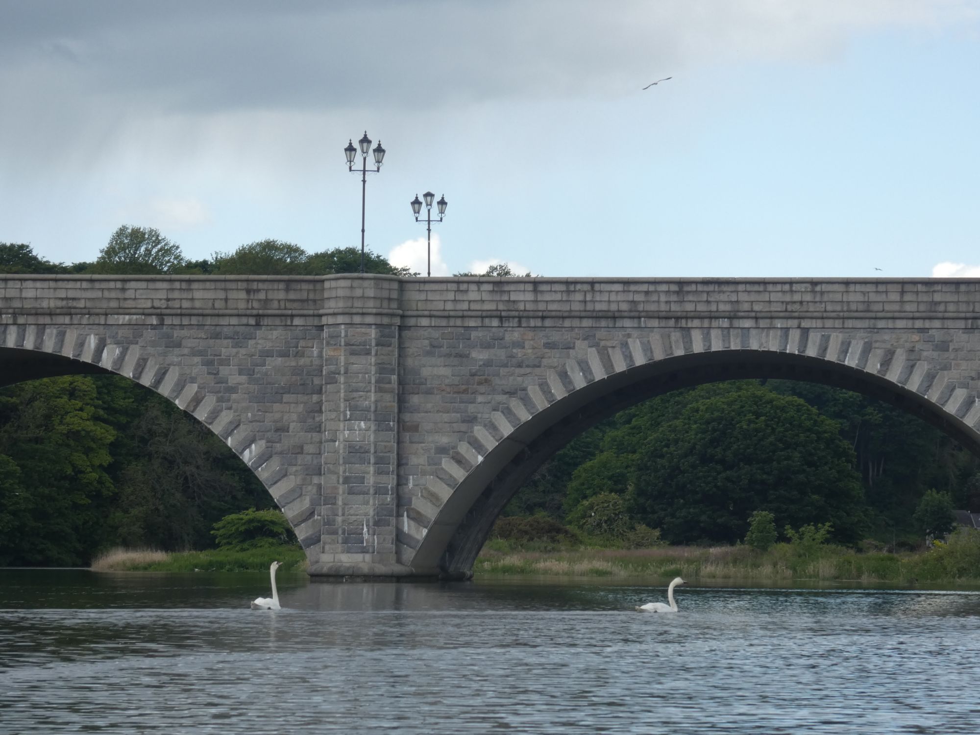
Looking west – the bridgesLooking south – Edinburgh
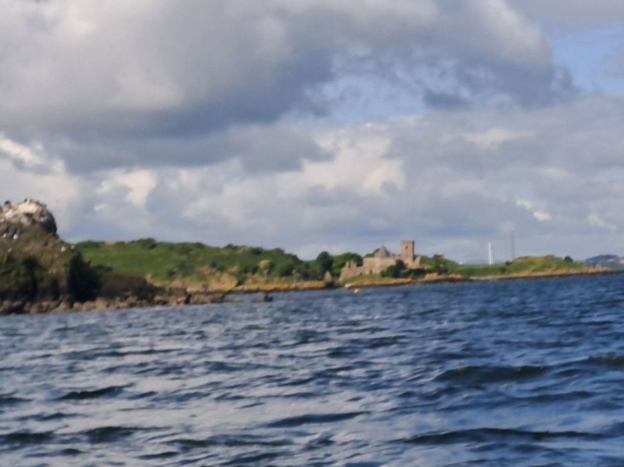
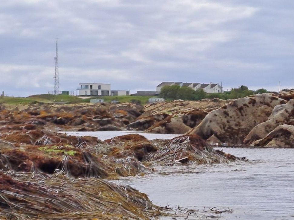
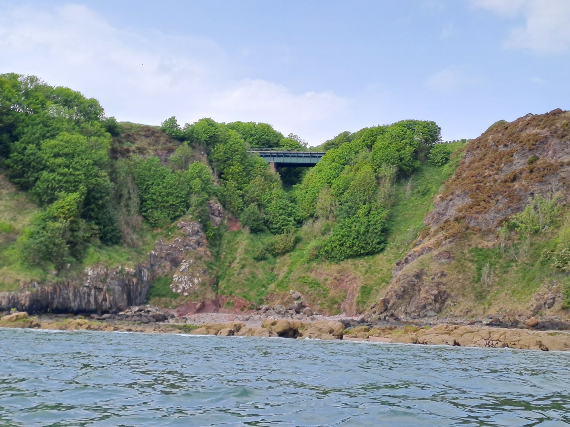
I headed west past Burntisland and onwards towards Aberdour. The main channel splits in two here – one going north of the attractive island of Inchcolm to the Braefoot Gas Terminal and the other to the south for traffic going further up the Forth. I had watched a vessel head to the Braefoot Terminal yesterday evening, so I was pretty sure I’d be OK crossing the northern channel.
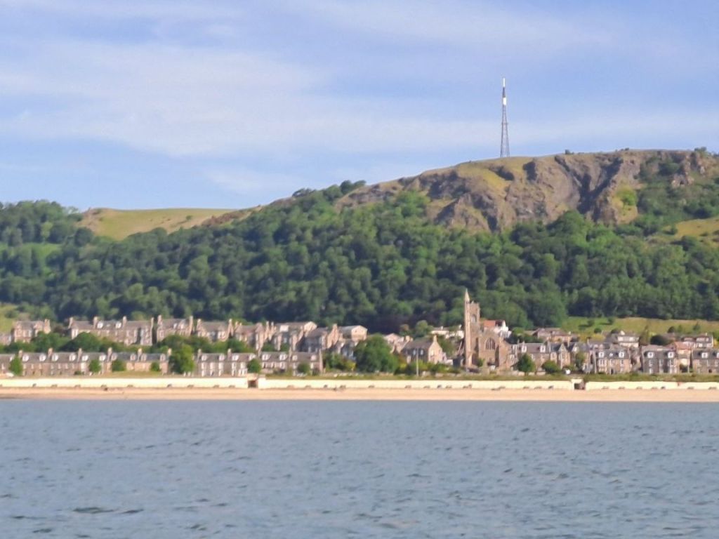
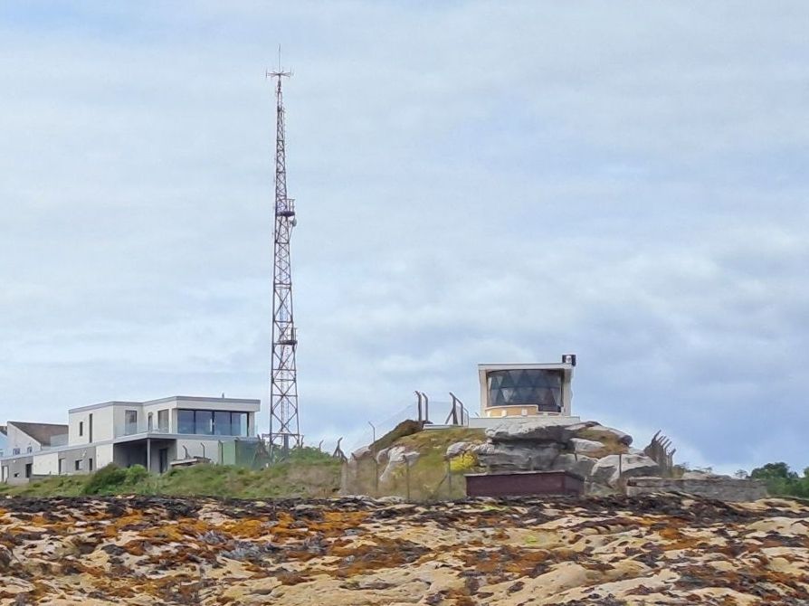
Burntisland and the Craigkelly mast serving up TV stations to Edinburgh
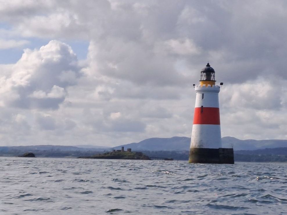
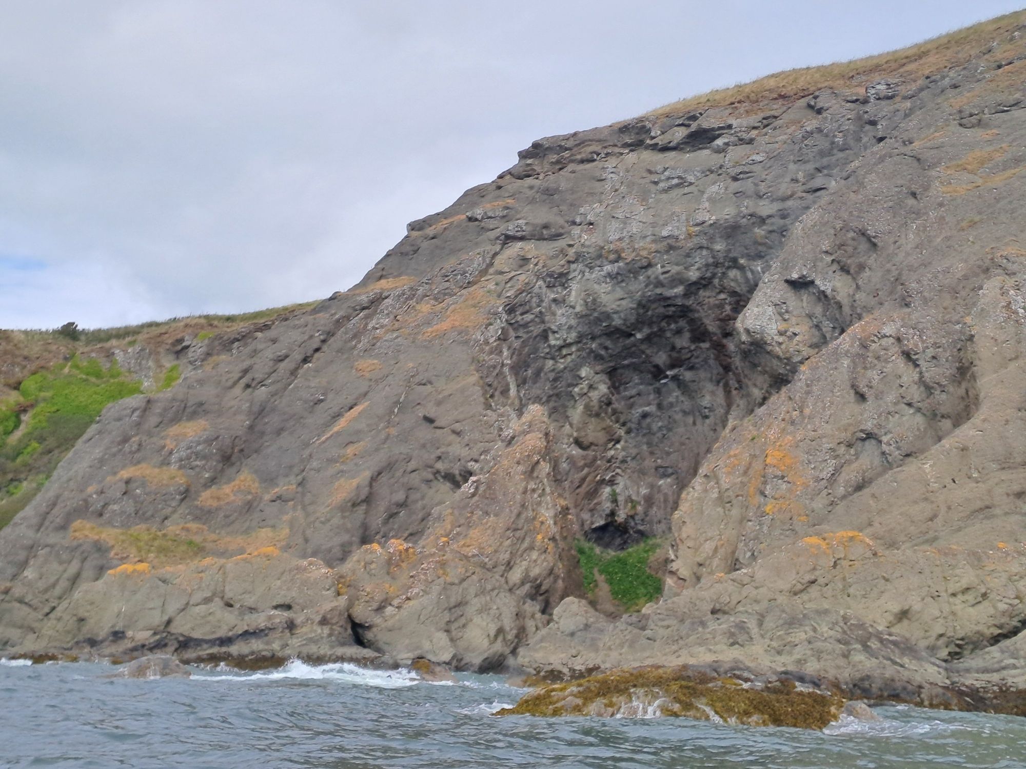
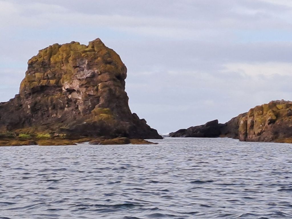
I headed towards the small Car Craig island to the east of Inchcolm until I had the main channel buoys in line with the Oxcars lighthouse and Inchmickery beyond.
Car Craig, Inchcolm Abbey, and the bridges beyond Starboard channel buoys, Oxcars lighthouse, and Incmickery coming into alignment
By crossing the main channel here I had, a clear view east and west, a clearly defined perpendicular traverse, and good transits to align myself with to determine if the wind or tide were pushing me in one direction or the other.
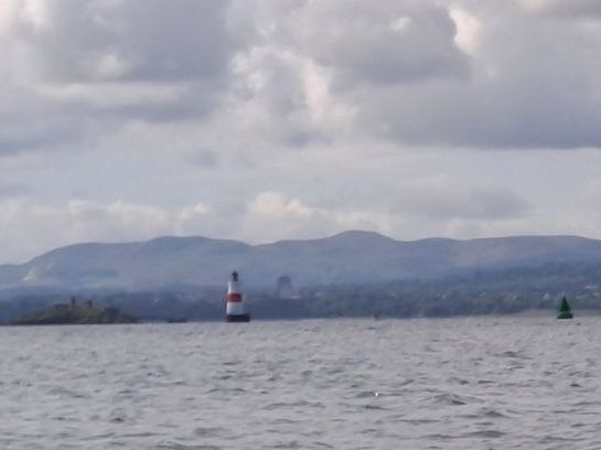
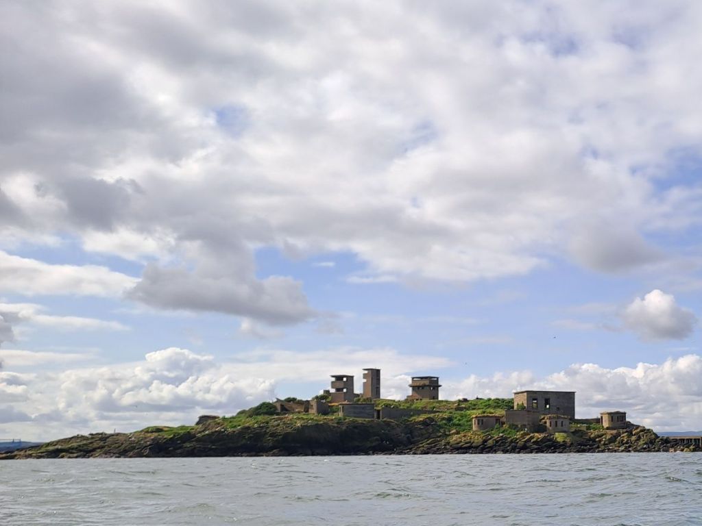
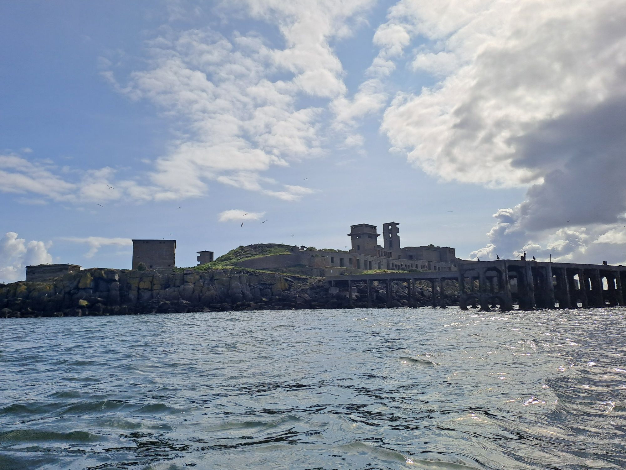
Safely across the channel with Oxcars still aligned with the west end of Inchmickery Inchmickery from the northIncmickery from the southwest
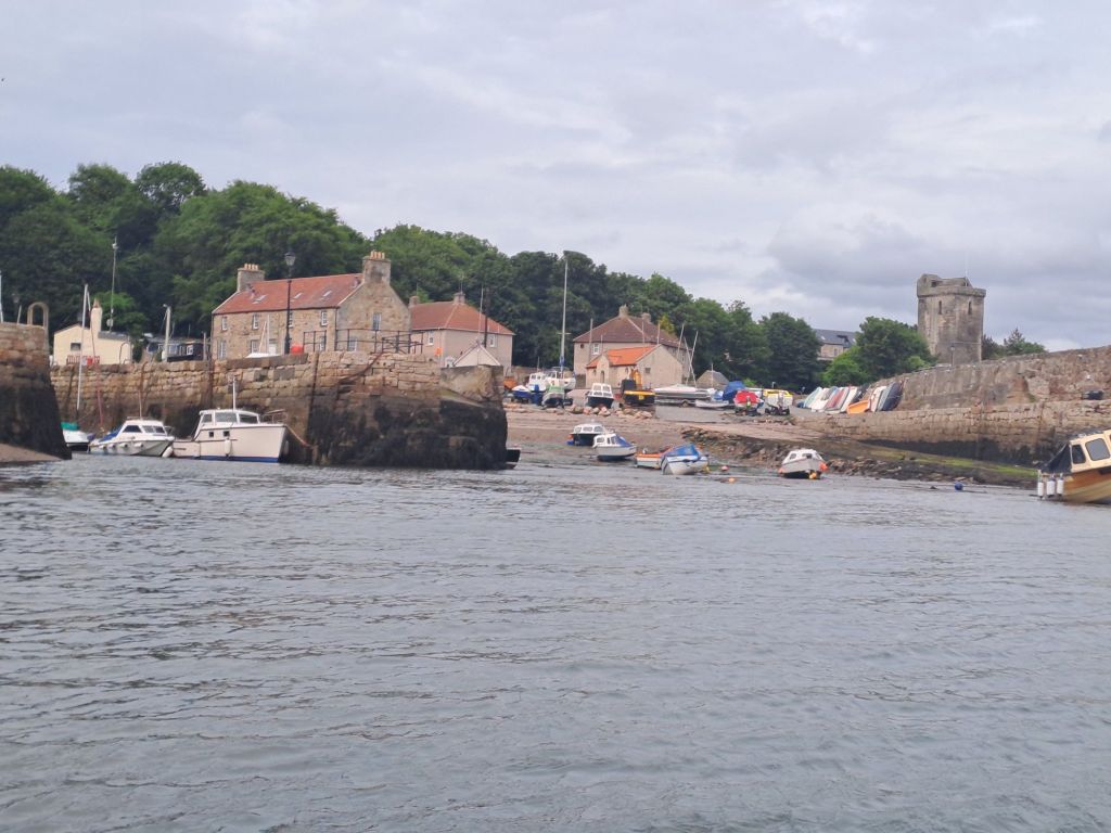
I passed to the west side of Inchmickery, and then, as I was making good time, headed over for a view of Cramond Island.
North side of Cramond Island
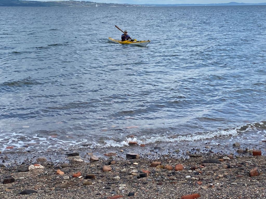
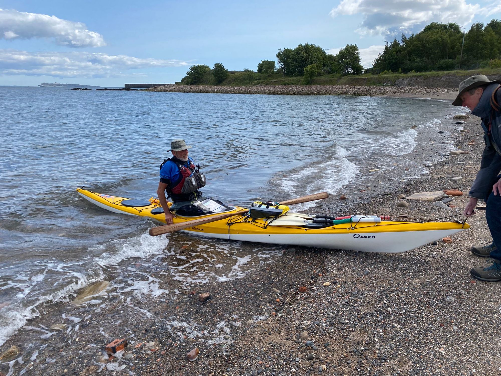
After that, it was a short paddle back to the east (with wind behind!) to get to my final landing spot on “brick beach” at Granton.
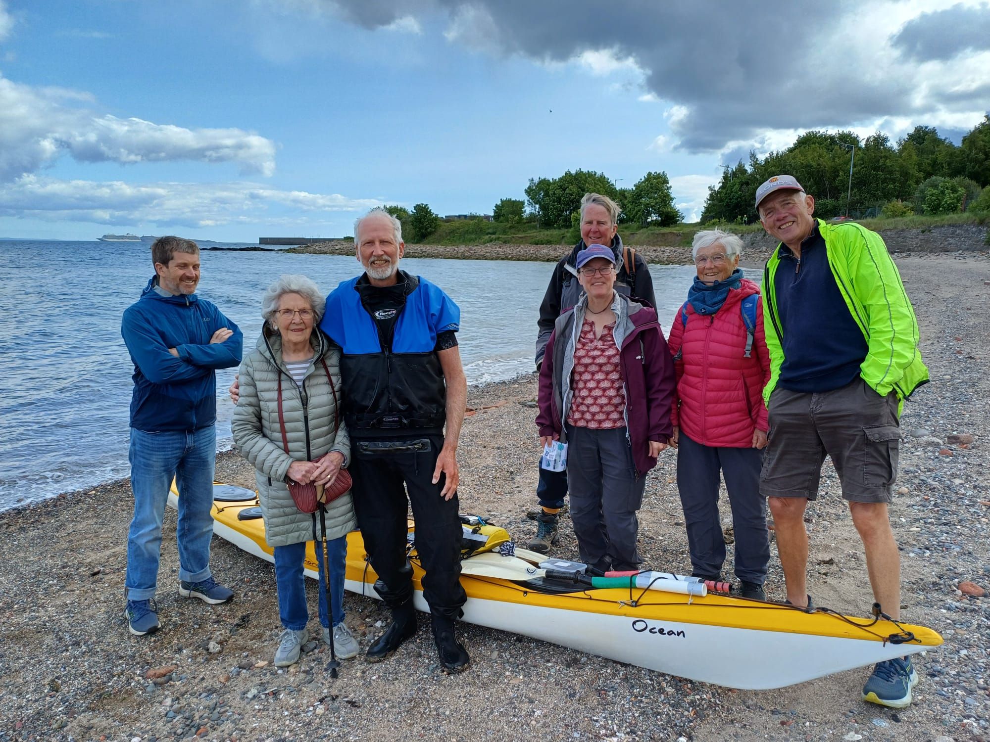
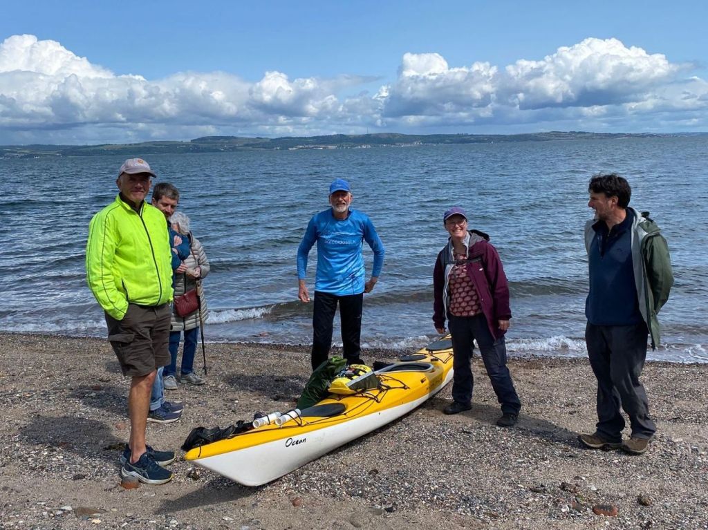
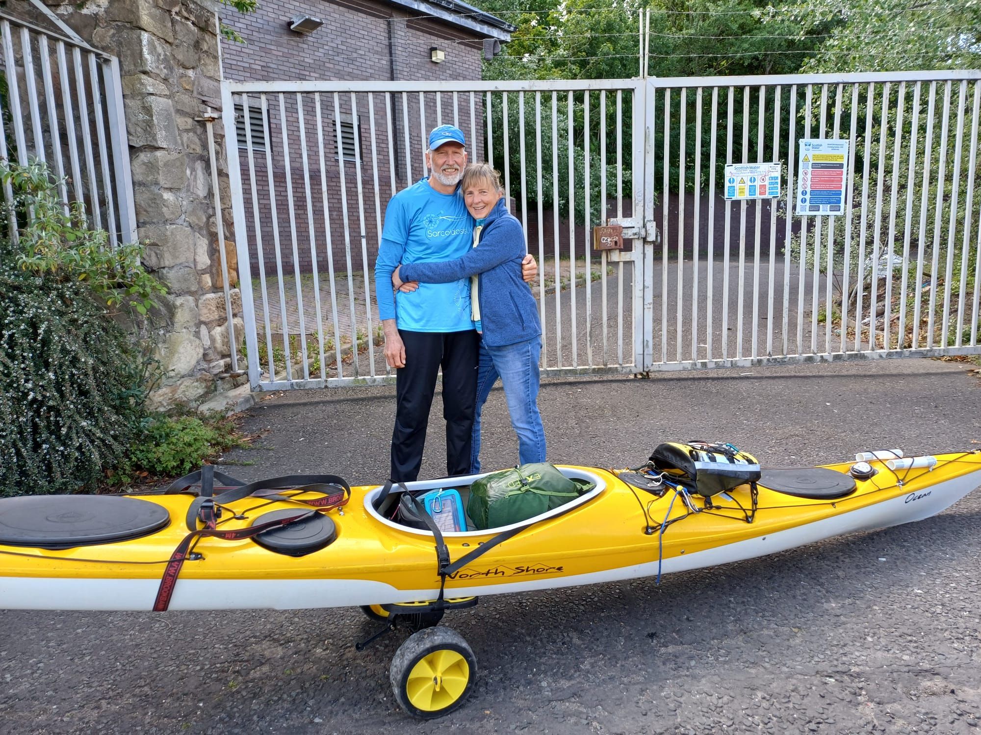
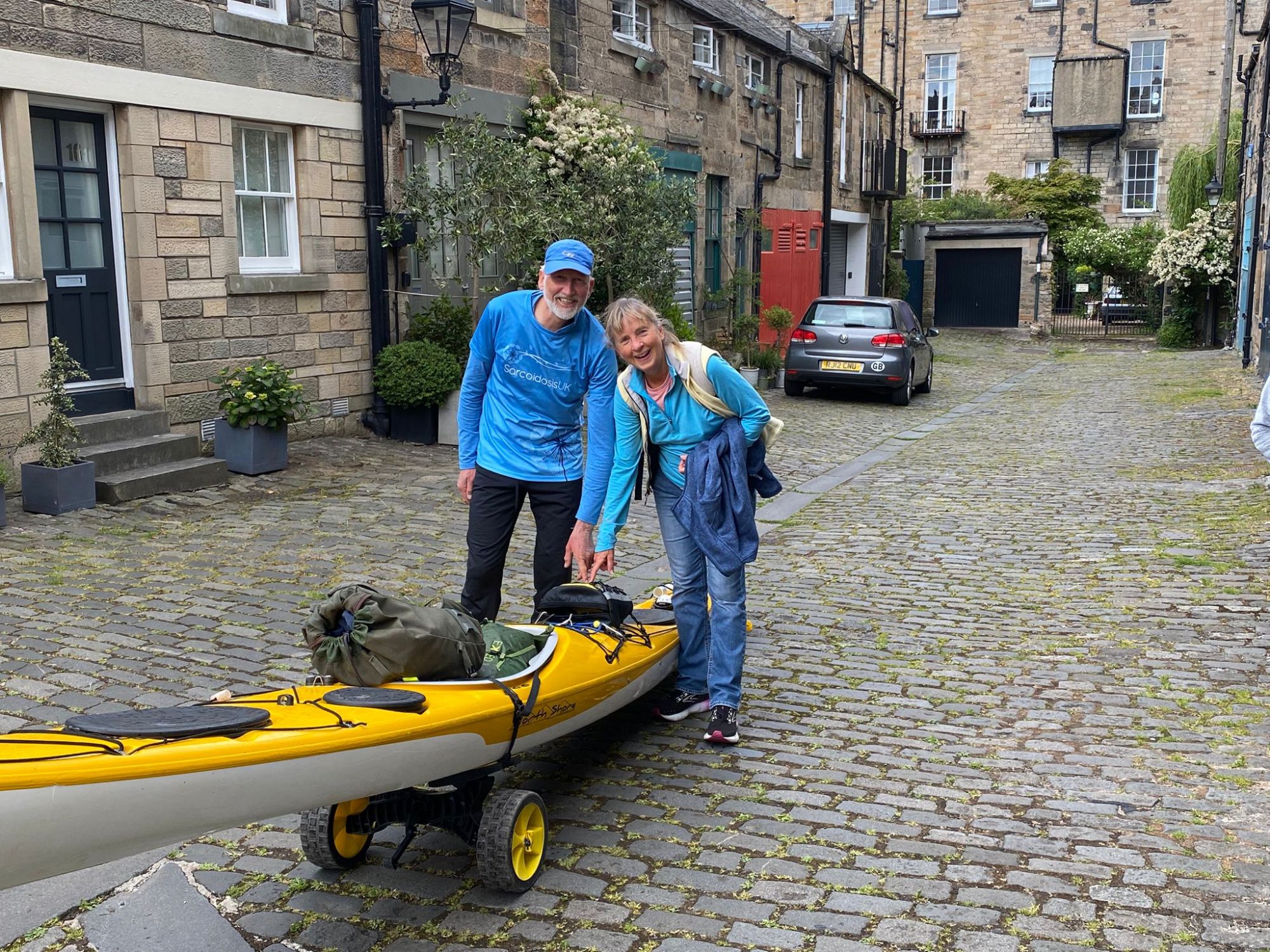
The last few paddle strokesAll the paddling completedWith my mum and some of the welcoming partyPlus Adrian – a big assist for the final portageA big hug from Wendy before starting the portage homeCeremonial turning off of Spot tracker for last time
Over the next few days, I will gather my thoughts and post a few more times about my overall experience of the journey.
The weather conditions today were much better than yesterday, but it still wasn’t a paddle on a mill pond. An F3/4 westerly was blowing in my face for most of the day, so I still needed to push hard if I was going to make my preferred Friday morning finish.
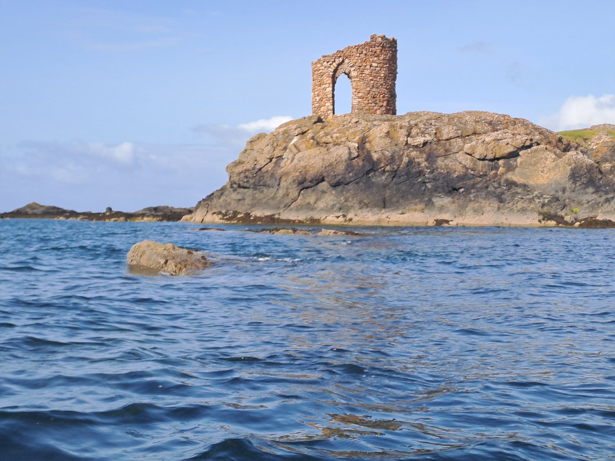
Lady’s Tower at Sauchar PointElieLarge cave before Kincraig PointKincraig Point Small island off Shell Bay with Lomond Hills behindHalf a Saltire for a little bit of ScotlandLower LargoLower Largo Harbour
Although I’m in my home waters now, there is still plenty of the Forth coastline that I haven’t paddled before. A suggestion for a day trip across Largo Bay and past Methil Docks probably wouldn’t drum up a great deal of interest with kayak club members.
I have never visited Methil before, but it is forever linked in my mind by the Proclaimers with Bathgate, Irvine and Linwood as the “no more” towns. I couldn’t get the song out of my head for most of the day.
My lunch spot on a park bench on Leven waterfront wasn’t the most picturesque of the trip, but the dogs and their owners provided plenty of entertainment.
SilverburnWind turbine at Fife Energy ParkWemyss CastleWest WemyssWest Wemyss HarbourTowers at Chapel WoodBlair PointBlair Point with Inchkeith and Arthur’s Seat in the distanceDysart Harbour
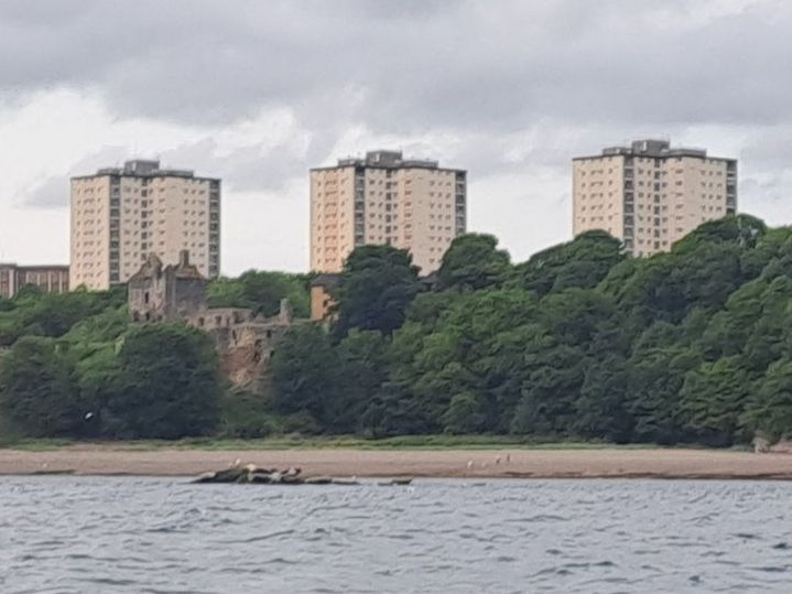
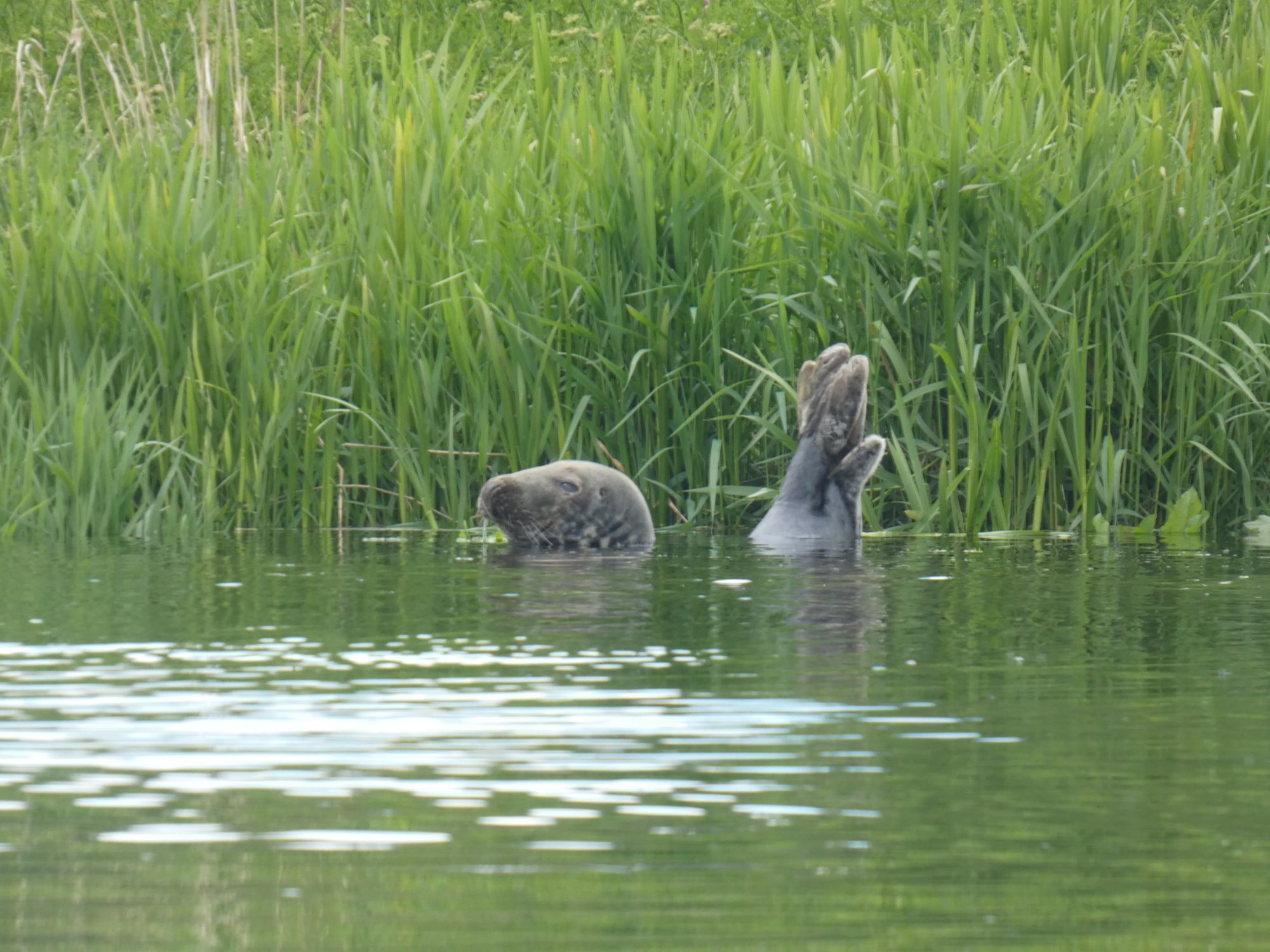
The three tall tower blocks in Kirkcaldy can be seen from my kitchen window in Edinburgh. As I passed close to them today, I could see seals basking on the rocks and the ruins of an old castle in front. I’ll probably think of them differently now when viewing them from home.
Seals, Castle, TowersRNLI at Kinghorn
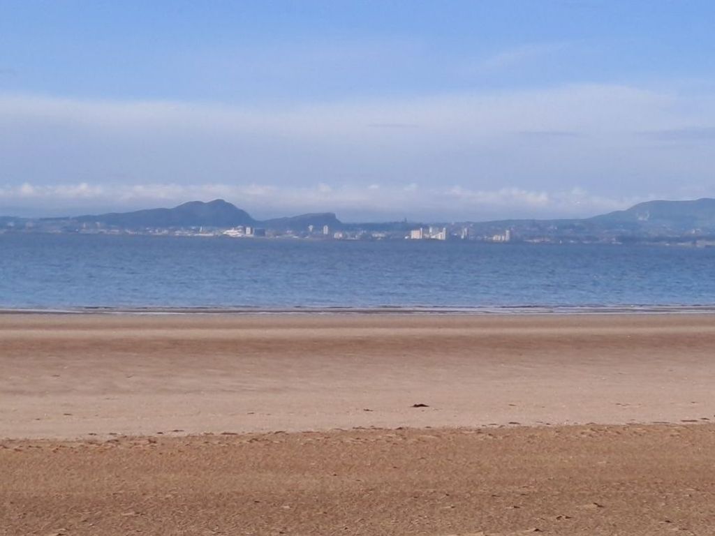
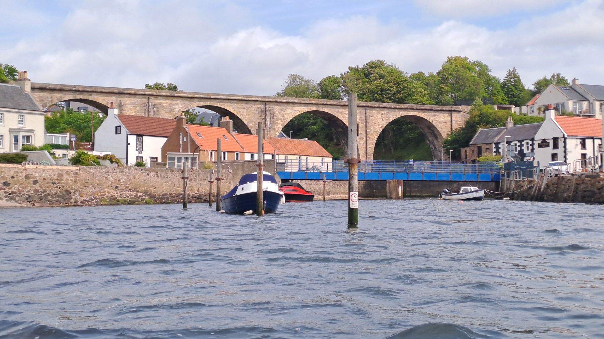
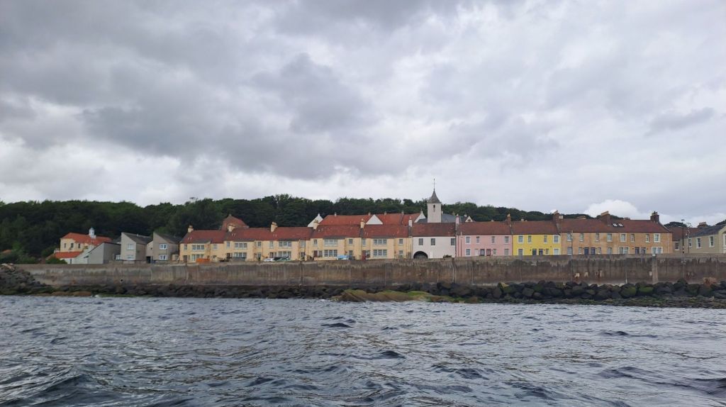
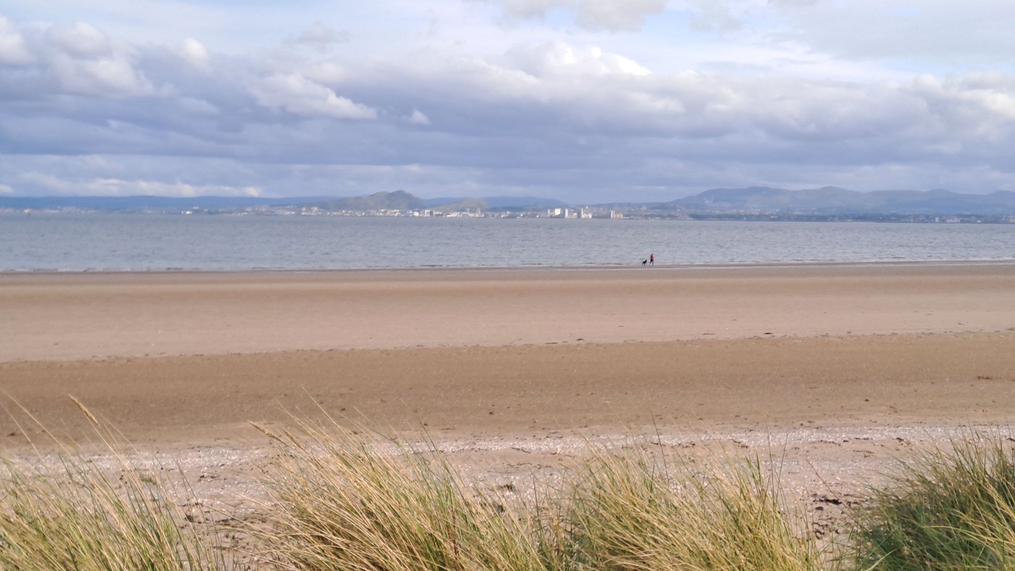
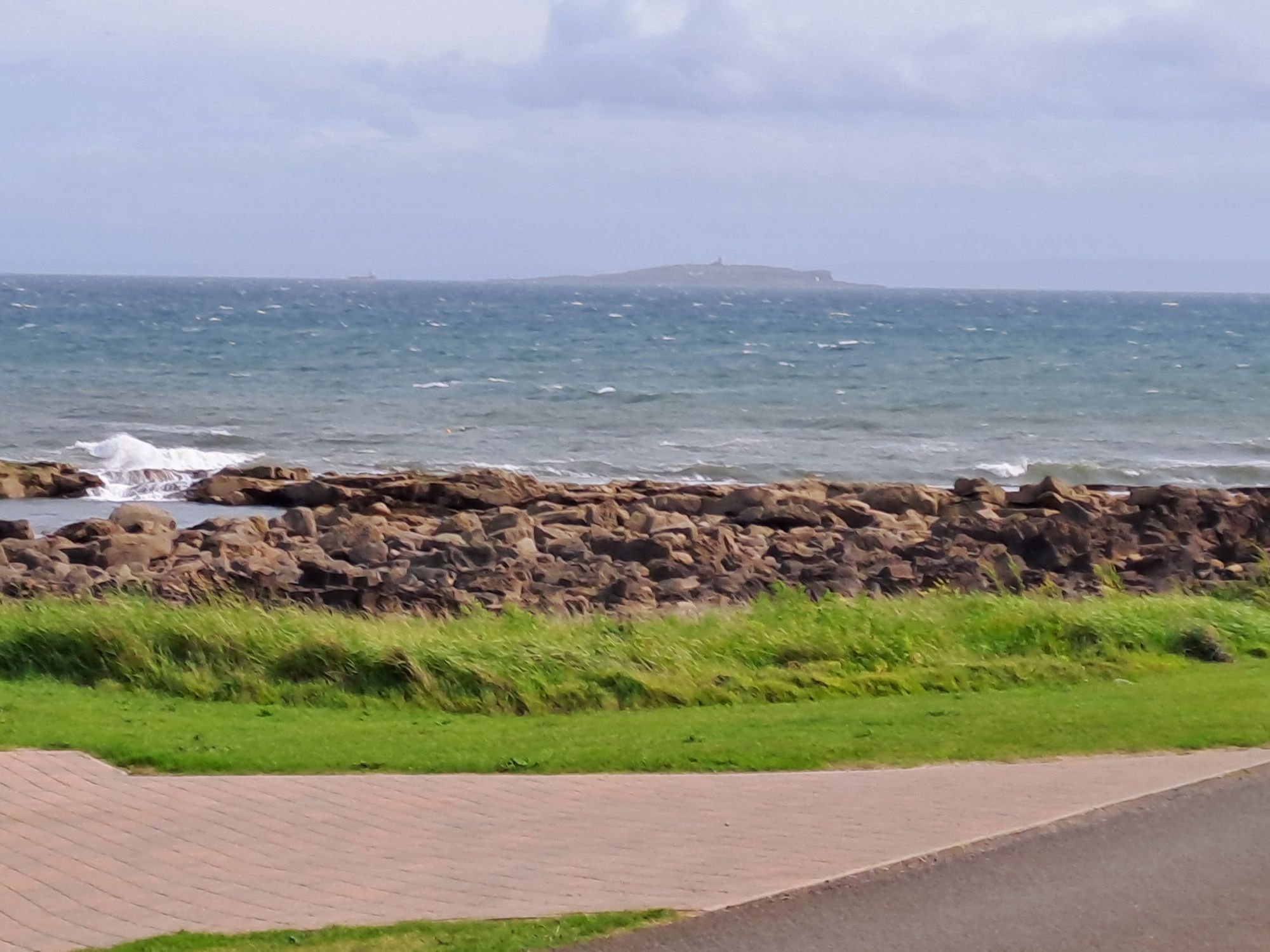
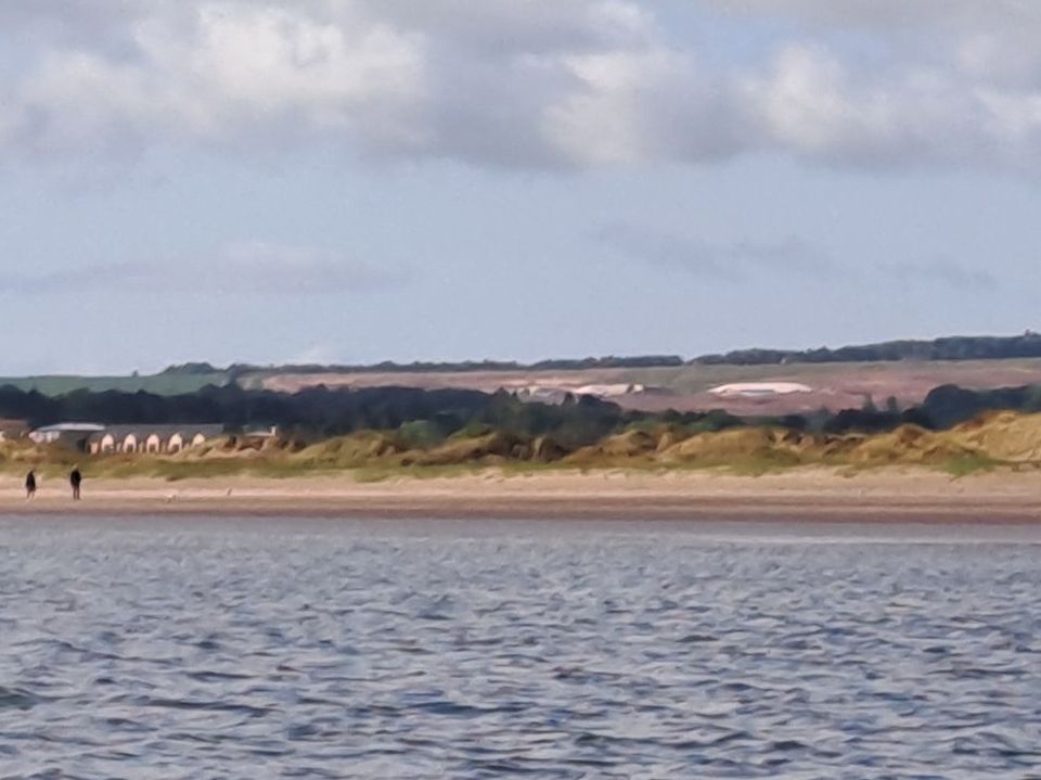
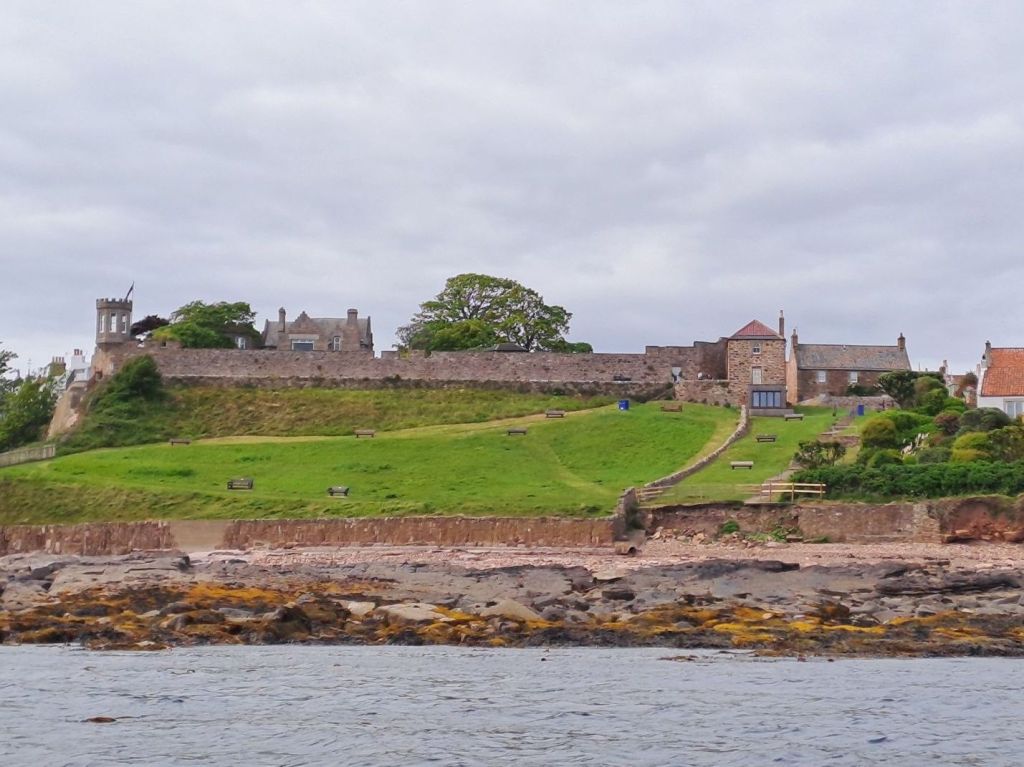
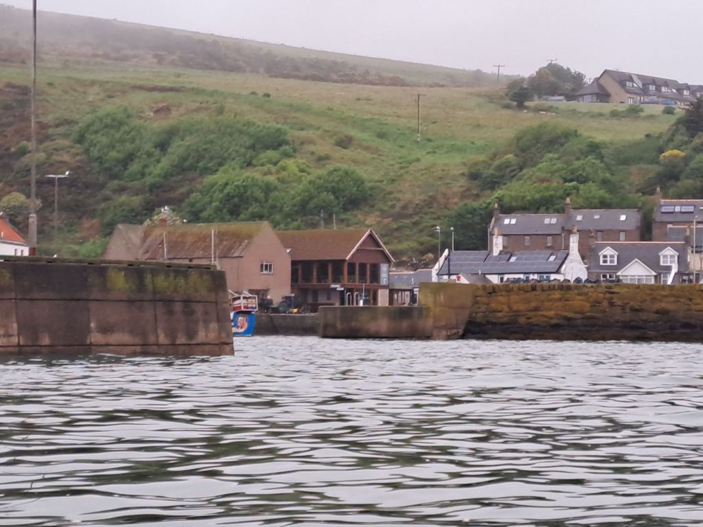
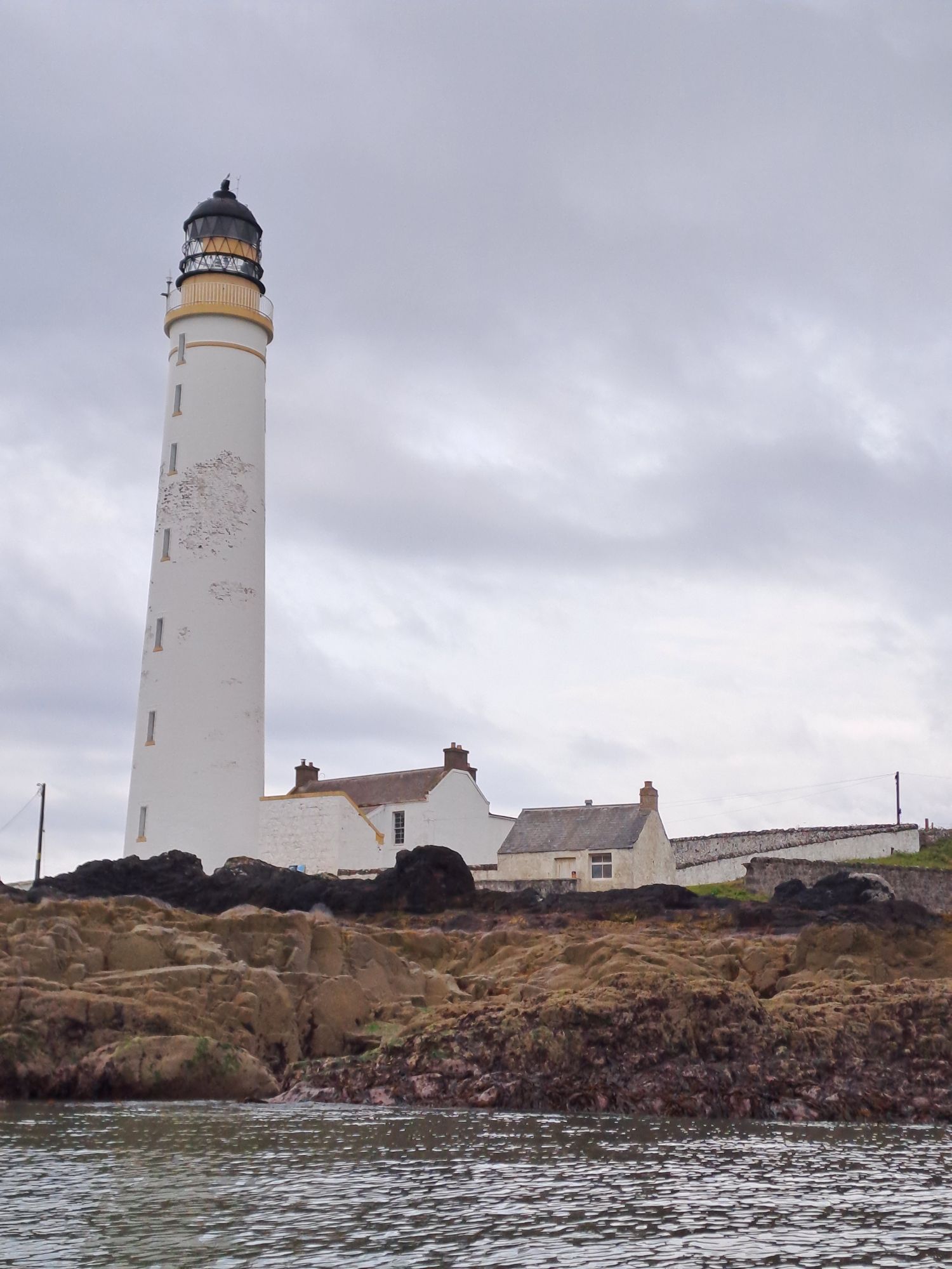
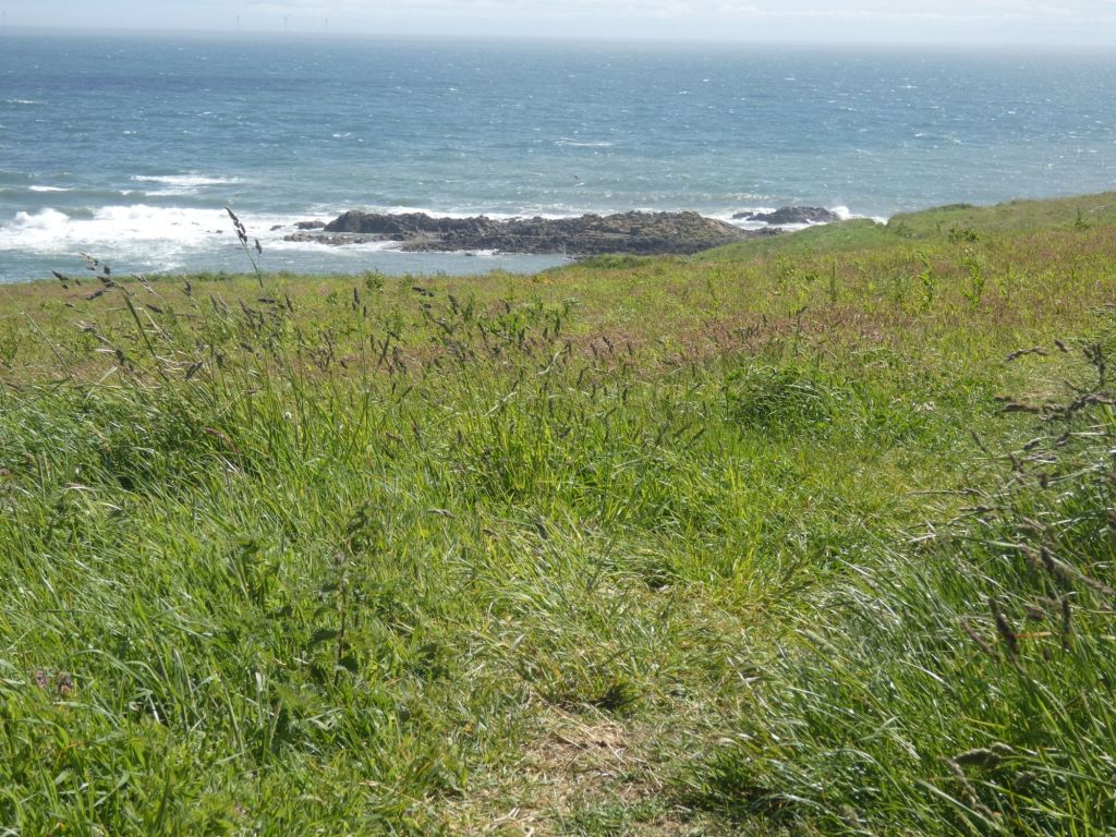
It was low tide as I rounded the point at Kinghorn and was confronted by the large expanse of the Burntisland sands. I had been aiming for Silversands at Aberdour as my destination today, but my arms and back were telling me that this was a better place to call it a day.
Burntisland Sands with bridges in the distanceEdinburgh from Burntisland Sands
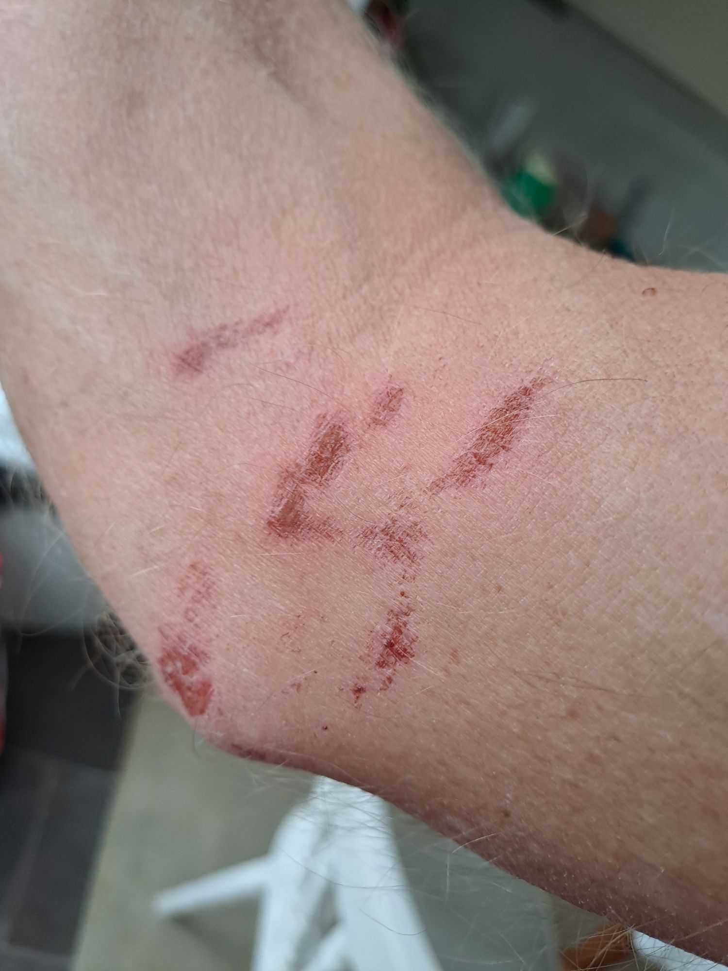
When going across the Tay Estuary, I wore my long sleeve cag with a short sleeve t-shirt. The long stint on the water and the hard paddle at the end resulted in some abrasion sores on the inside of my elbow. I’ll be wearing my short sleeve cag for the remaining days – regardless of the weather.
Sores from damp cag seam
The weather today wasn’t a whole lot better than yesterday, and it was touch and go on whether I’d give paddling a go or not. I felt well rested from my two nights in a bed, and the sun was shining, so Wendy and Jane helped me and boat return to Crail Harbour.
Calm and sunny at Crail Harbour
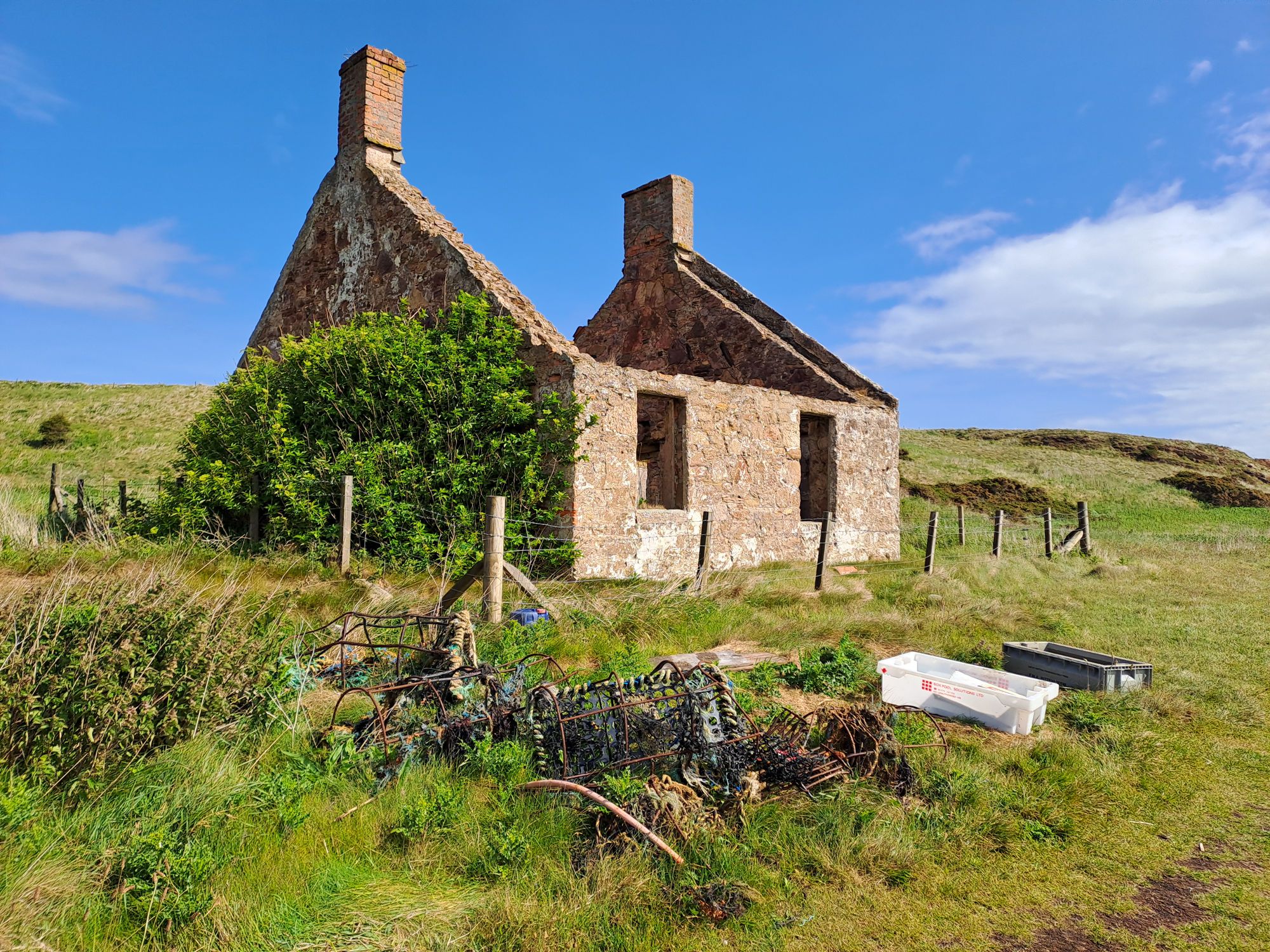
After half an hour battling into an F5/6 headwind and the sun now gone, I was having second thoughts. I considered turning round and heading back to the harbour, but on seeing a landing spot beneath two long ago abandoned houses, I decided to take a break there and consider my options.
Wet and windy two kilometres along the coast
I spent an hour or so sheltering by the houses. When the sun came back out I met a man from the Fife Coast and Countryside Trust organising a pile of trash. He spent one day a week slowly hiking bits out to locations accessible by his truck. The vast majority of it was washed up creels and other fishing paraphernalia.
Abandoned house. Abandoned trash.
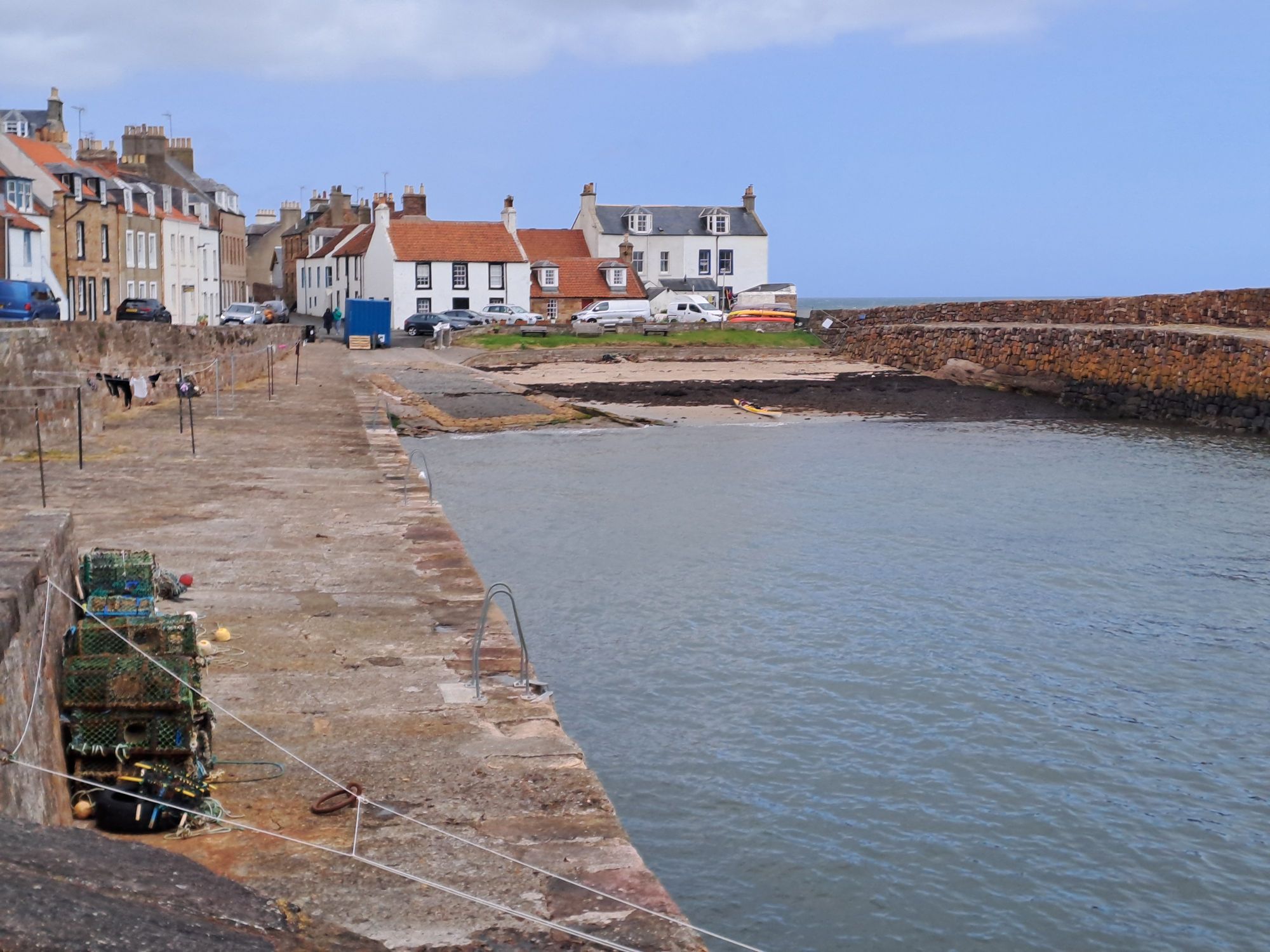
Another hard stint on the water got me as far as the welcome shelter of Cellardykes Harbour. The boat remained here for much of the day. I changed out of my paddling gear and played at being a regular Fife Coast tourist. Fish and Chips in Anstruther, a hike along the coastal path, and a large ice-cream cone.
A long rest at Cellardyke HarbourThe Isle of MayA potential landing spot between Anstruther and Pittenweem With its associated rough camping spot
The wind was forecast to drop slightly in the evening. I returned to my boat at 4 pm. and headed out for a final push for the day. Two hours later, I made it to a nice beach east of Elie that was just too tempting to pass up on. Here I camped for the night. Over four hours of paddling had resulted in only a 15 kilometre gain in distance. Walking would be faster.
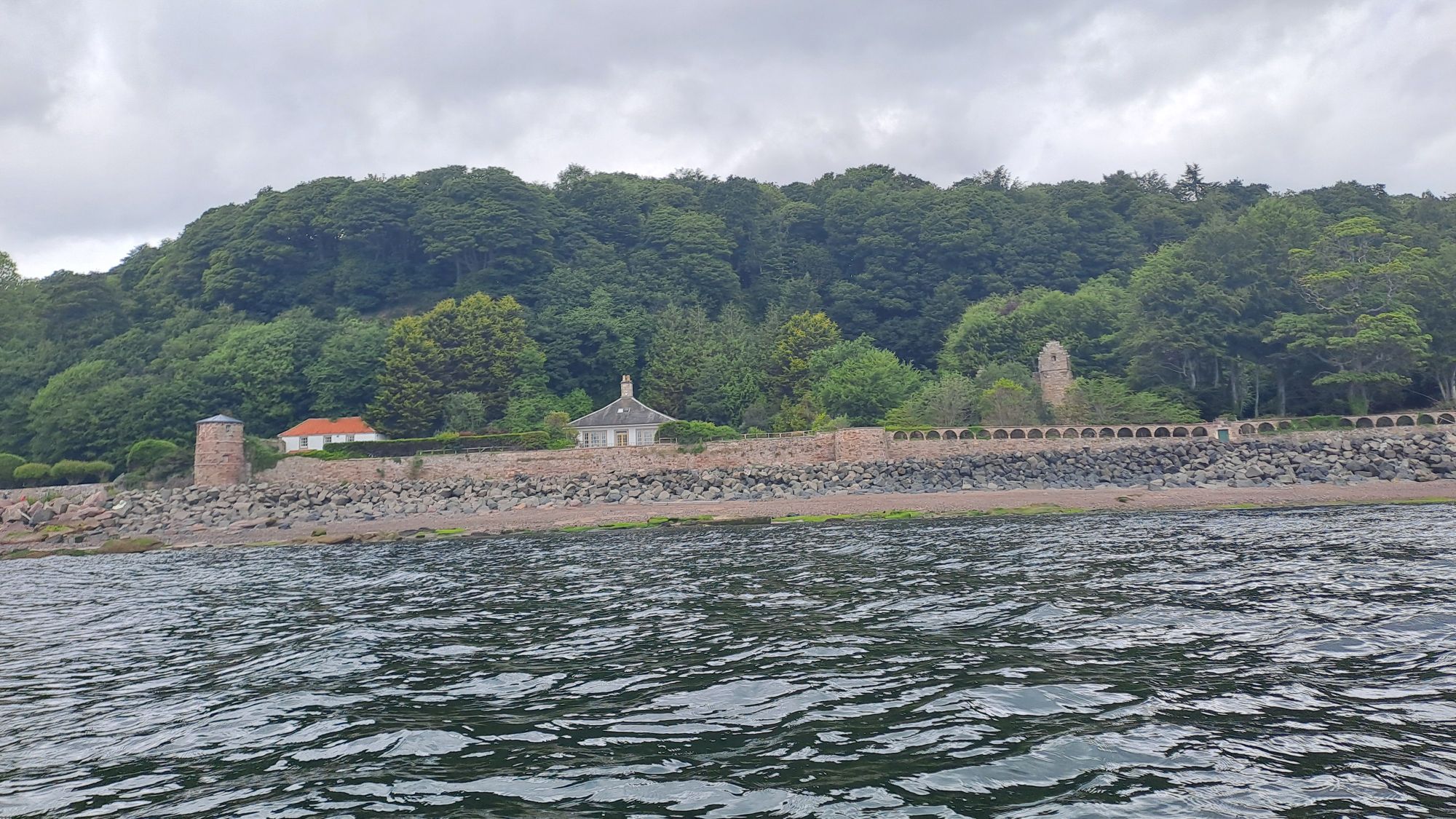
Wendy had found an excellent little cottage to rent by Fife Ness lighthouse with sea views on either side. It was lovely to spend a day relaxing, feasting, walking, and viewing the sea from the land.
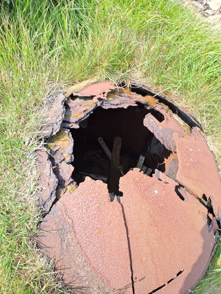
A view across the whitecaps to the Isle of MayAn unexplajned, large, rusting domed cylinder embedded in the grass by the shoreSelfiePasser-by assisted. With Kilminning Castle in the background.
Yesterday, while unloading my boat on the Crail slip, I spoke with Jessica and Stuart (I may be recalling their names incorrectly), a couple from Los Angeles who were approaching the end of their month long trip in Scotland. At home, Jessica paddled in outrigger canoes and had been keen to do some kayaking in Scotland. As well as our shared interest in paddling on the ocean, we discovered that we were also going through similar journeys with auto-immune diseases. I’m hoping my blog will encourage her to return to Scotland to get the kayaking adventure she missed out on.
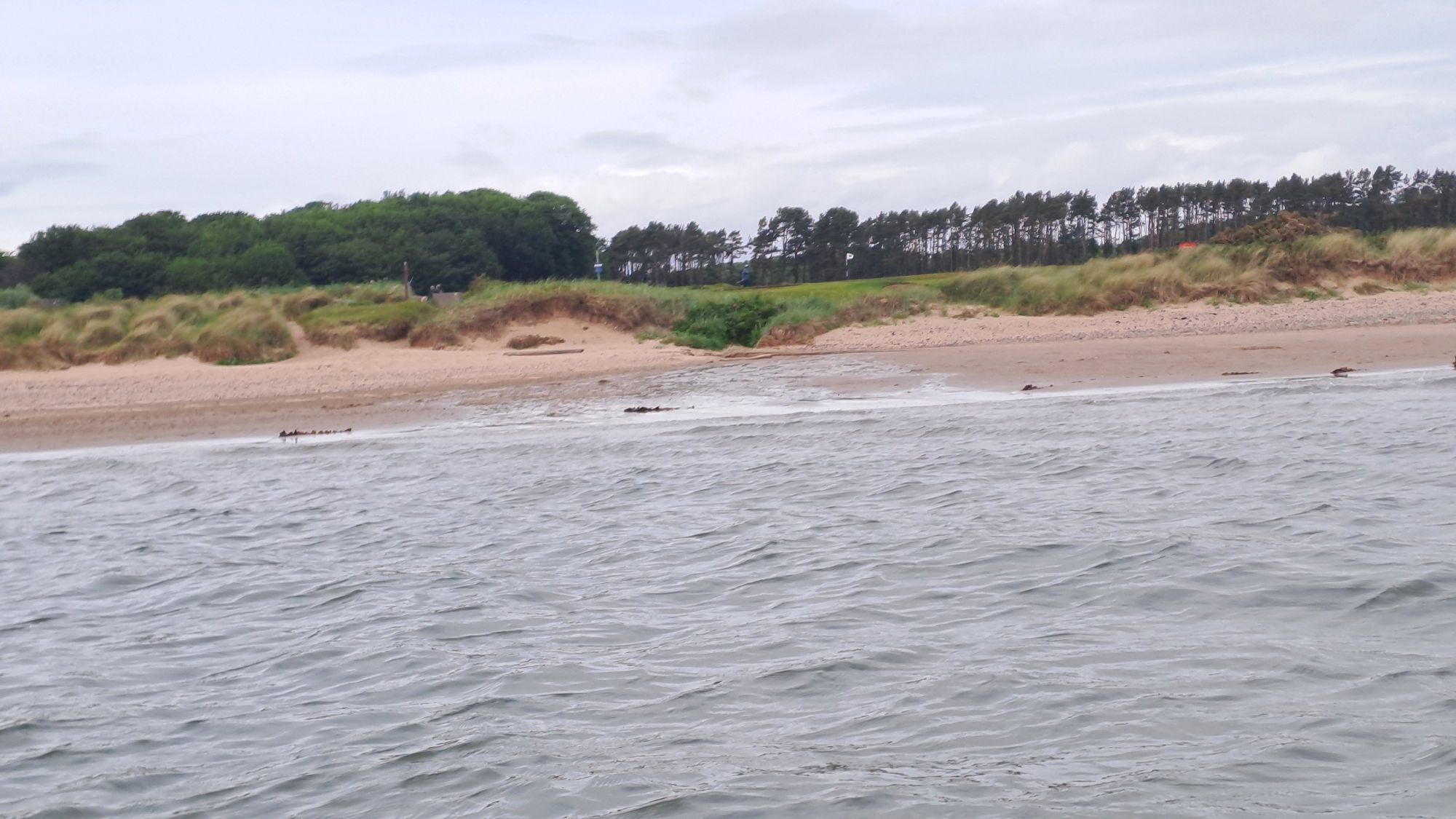
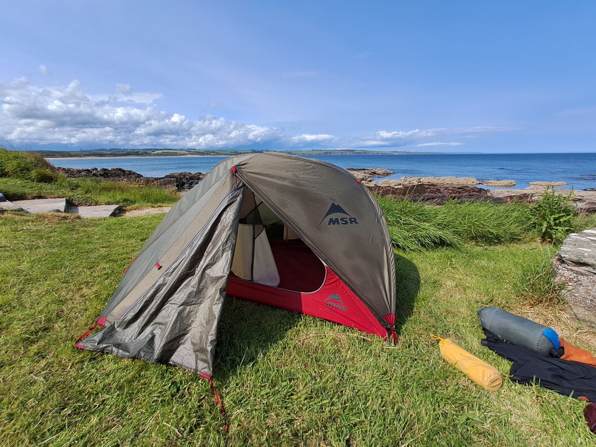
The skylarks were singing over Tentsmuir from the time I awoke at 4.30 to when I set off paddling almost four hours later. I had the beach to myself and only saw the first person and dog head my way as I pushed the kayak out onto the calm water.
The light offshore winds provided no hindrance on the paddle south to St Andrews, and then as they increased in strength, they assisted me on my journey southeast towards Fife Ness.
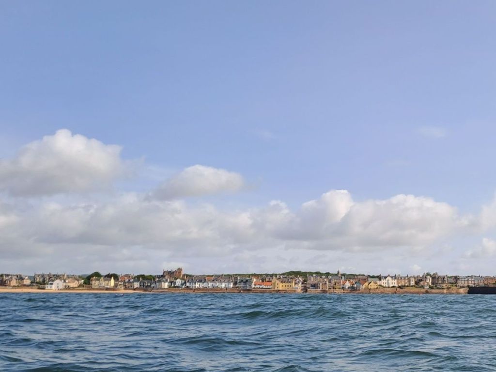
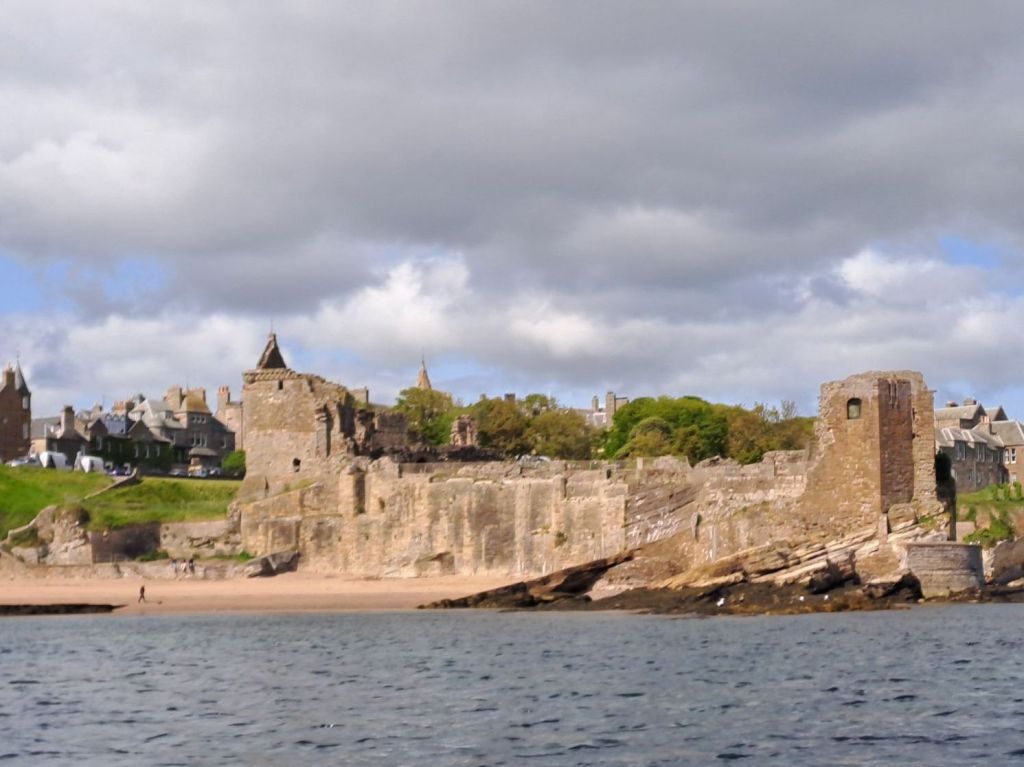
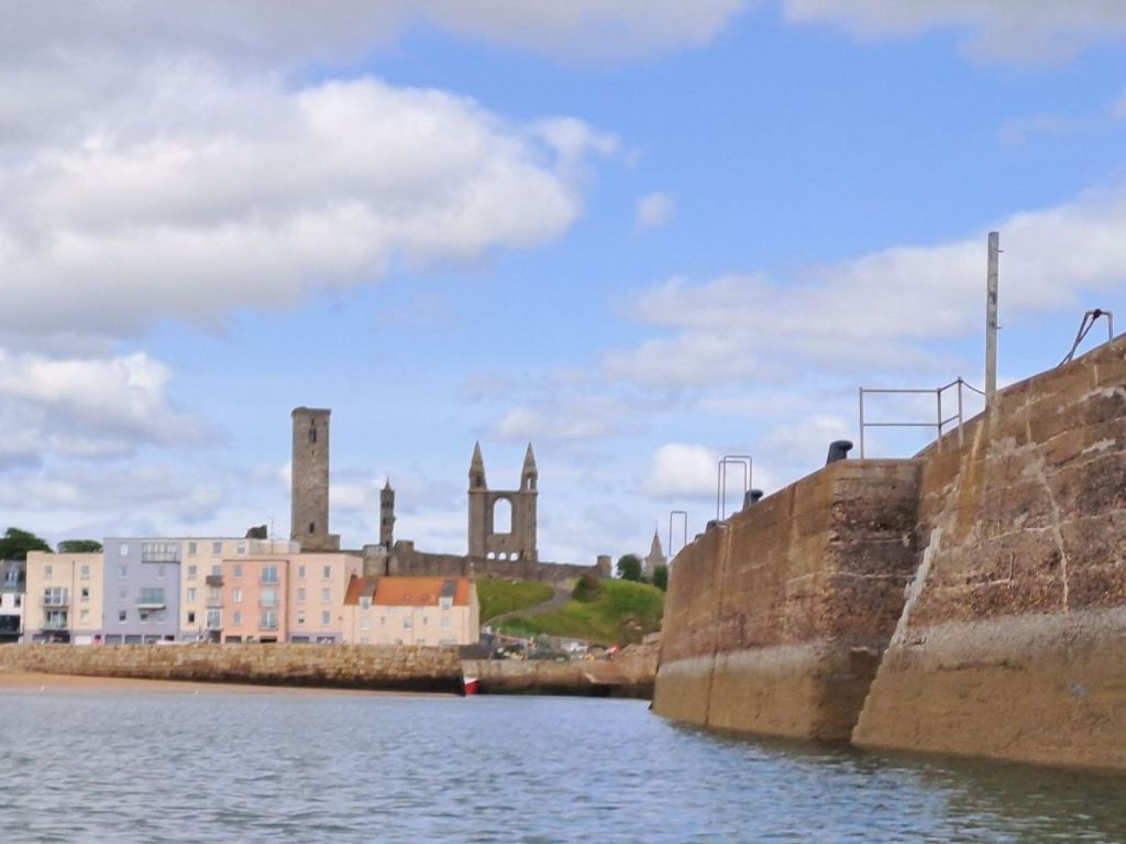
The two distinctive pale rectangles on the hillside I’d been heading for most of yesterdayThe Royal and AncientSt Andrews by the seaDramatic but precariousSt Andrews CastleSt Andrews Harbour and Cathedral
This is not a section of coast I have paddled before, but one I have hiked with Wendy and our neighbour, Mike, as we have slowly picked off sections of the Fife Coastal Trail – making good use of our “old people” bus passes. It’s interesting to see familiar views from a different angle.
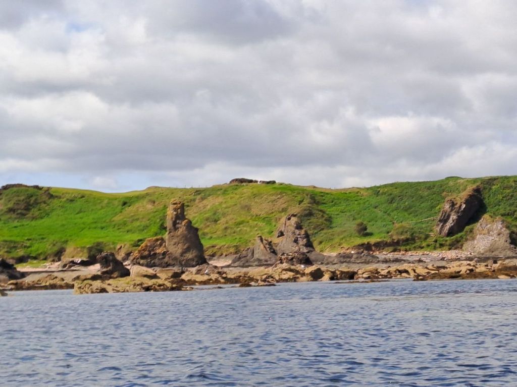
Rock and SpindleLess cliffs in Fife
At lunchtime, I was approaching the nice sandy Kingsbarns Beach, so I stopped with the intention of eating my normal fare – tin of mackerel, broth from a food flask prepared in the morning, and some fruit. However, I was surprised to find a sauna, toilets, and, best of all, a food van! My lunch plans changed immediately. I thoroughly enjoyed the special of the day – a Philadelphia Hoagie – sitting at a table.
An unexpected lunch find at Kingsbarns Beach
I was hoping to reach Crail today – the first harbour after turning the corner at Fife Ness and heading southwest into the Firth of Forth – but was uncertain about how the sea conditions would change as I picked up a headwind parallel to coast.
Approaching Fife NessFife Ness lighthouse
I needn’t have worried. Although the wind was strong, the sea was still slight, and by hugging the shore line it was quite easy to make steady progress towards Crail.
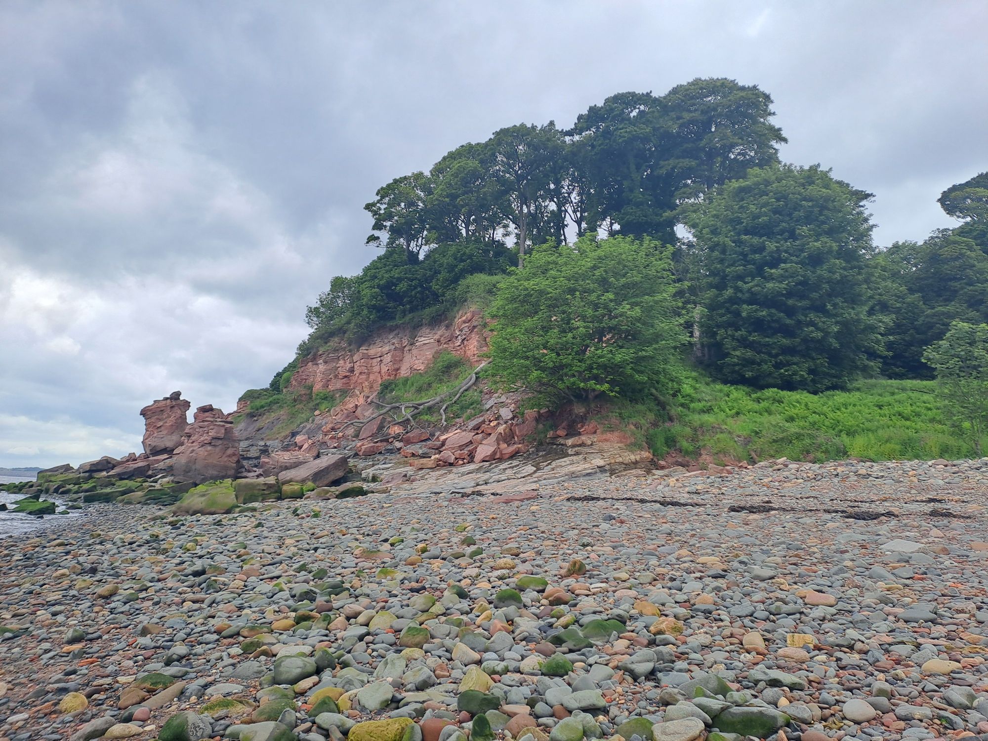
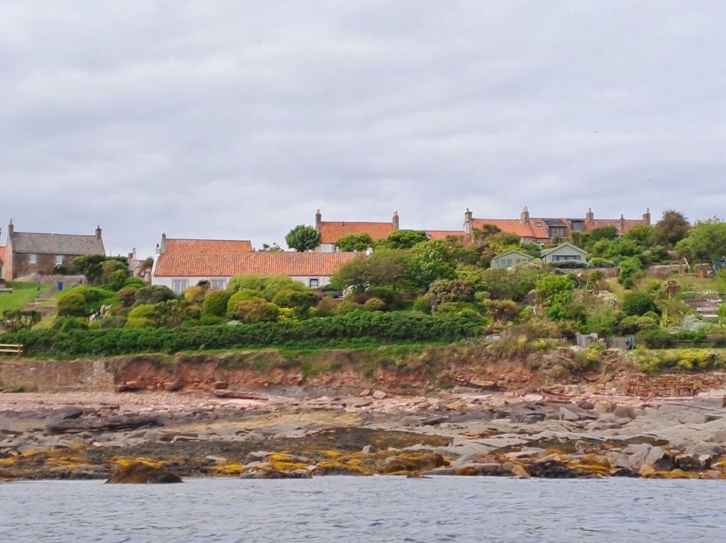
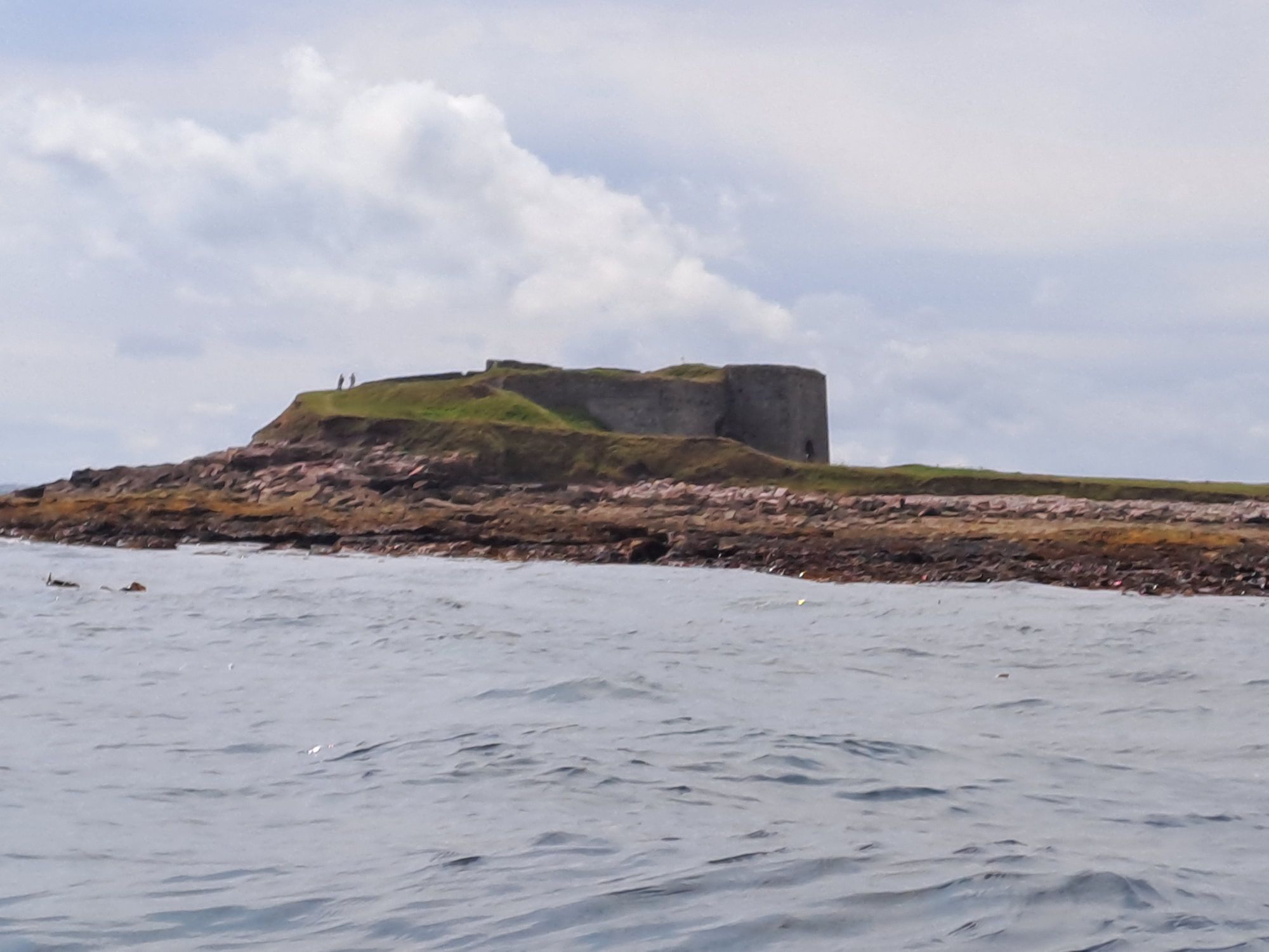
Kilminning CastleSeafront houses in Crail with amazing gardensCrail Castle Promenade
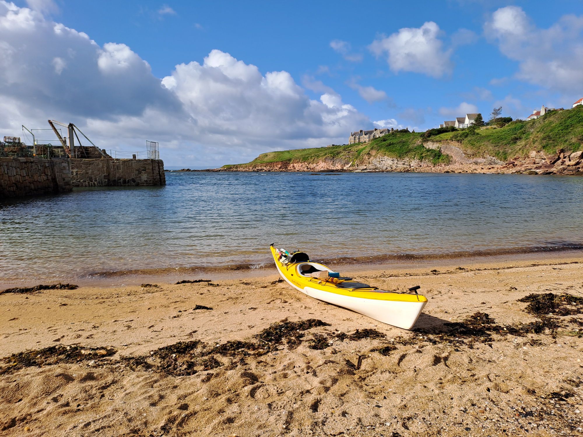
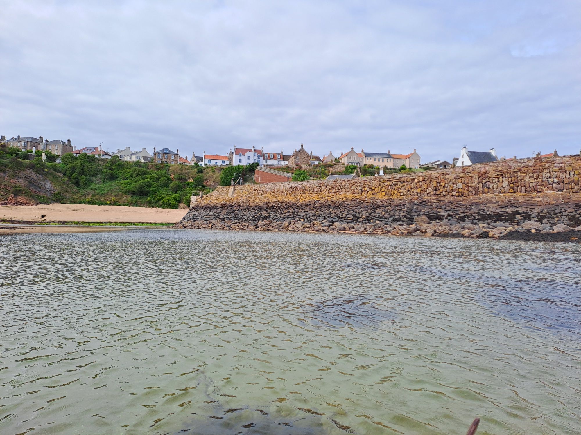
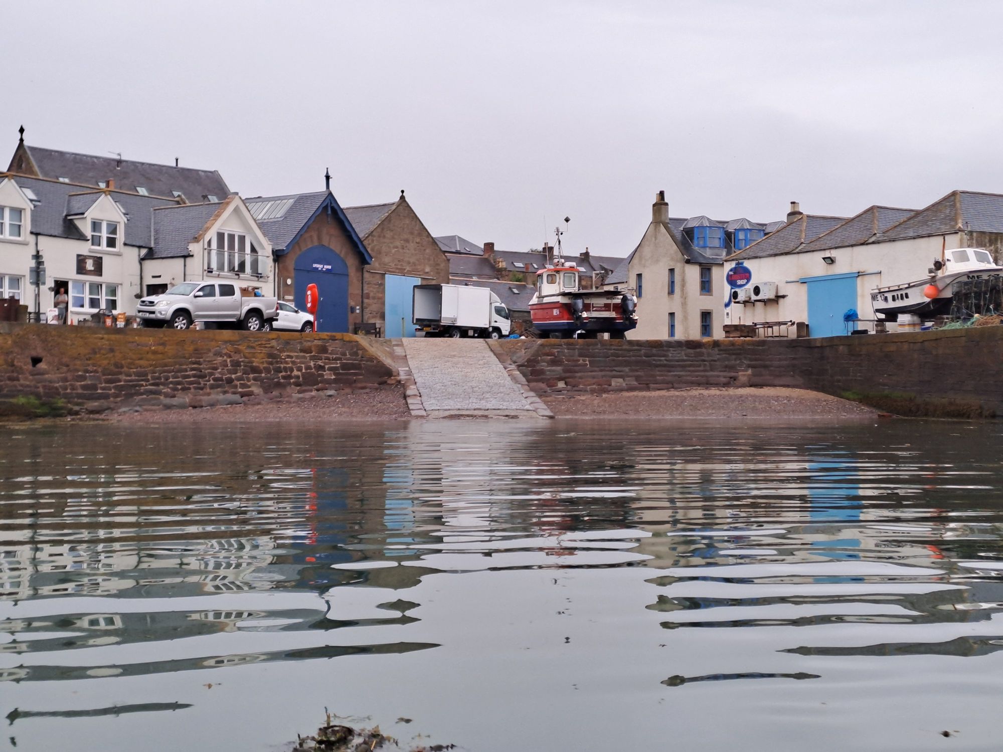
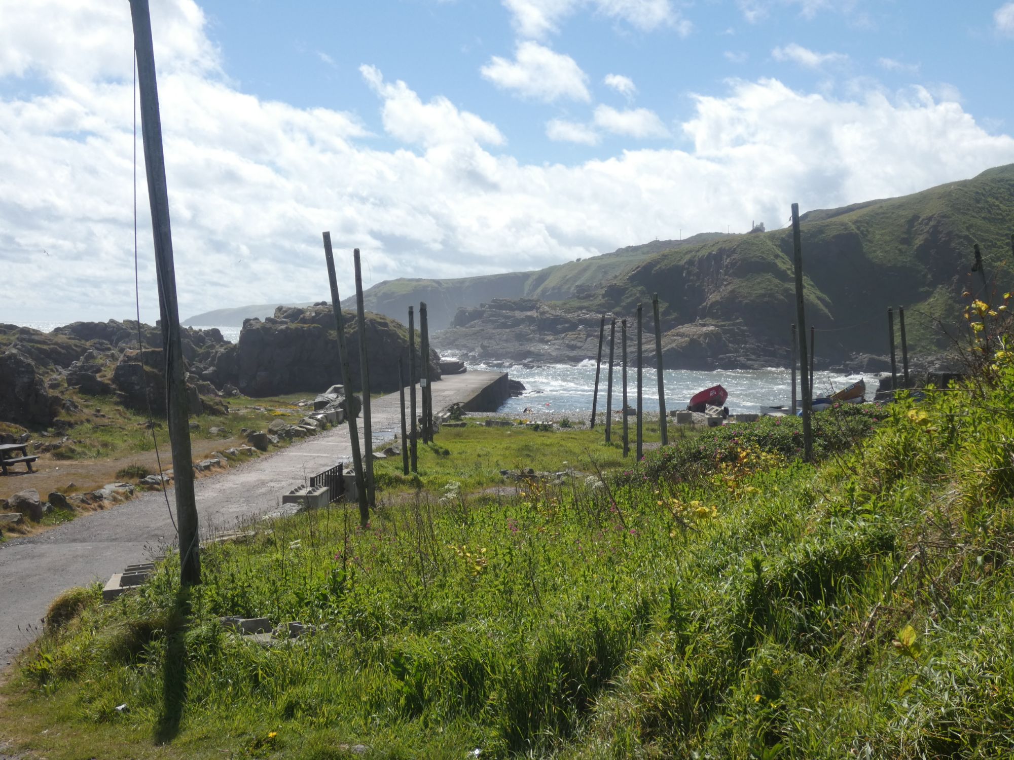
I arrived at Crail Harbour just after low tide. It was possible for me to drag the kayak across the shallow water at the entrance, but once within the remaining pool of water inside the harbour, my only route to harbour wall or slip was across deep smelly mud. I chose to exit the harbour again and use the alternate beach and slip on the left of the harbour entrance.
Crail Harbour wall
I had time to unpack my kayak and wheel the empty boat across the soft sand to the slip before Wendy and my sister, Jane, arrived to collect me. Tomorrow’s forecast was for very strong winds, so I had decided yesterday that Crail would be a nice place to have a mini-break.
I made some good decisions and some poor ones today. My best was opting to have a slice of coffee and walnut cake as a dessert after my full breakfast at The Old Boatyard in Arbroath. My worst was putting myself in a position where I needed the last reserves of energy it gave me to make it ashore.
Lunan Bay. Looking north from where I came.Goodbye to another great haven: Ethie Haven
The day started well. I was up early and heading south past another stunning coastline soon after 8 am. The winds were light, but the forecast wasn’t particularly great – SW and W winds F3 to F5.
As I rounded the first corner, I was greeted by a single otter. He/she was finishing off the last bit of a tasty morsel and soon disappeared under the water again, no doubt, in search of another crab to munch on.
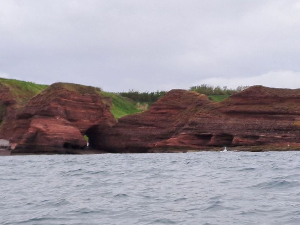
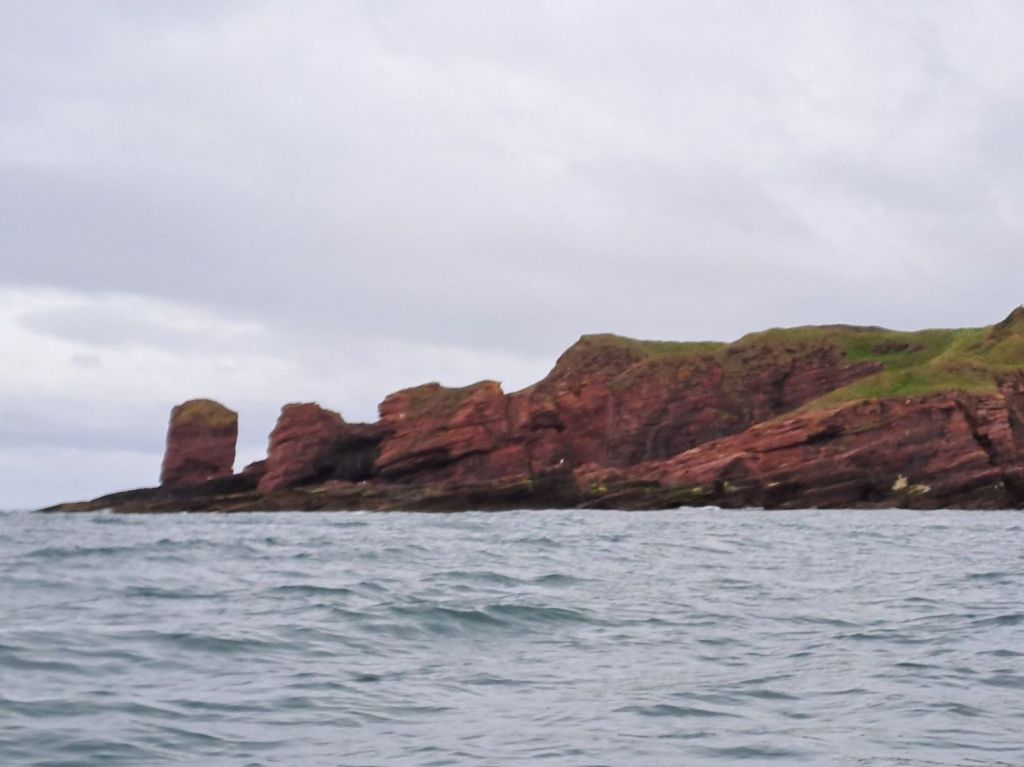
More channels to navigateGreat rock coloursRed Head
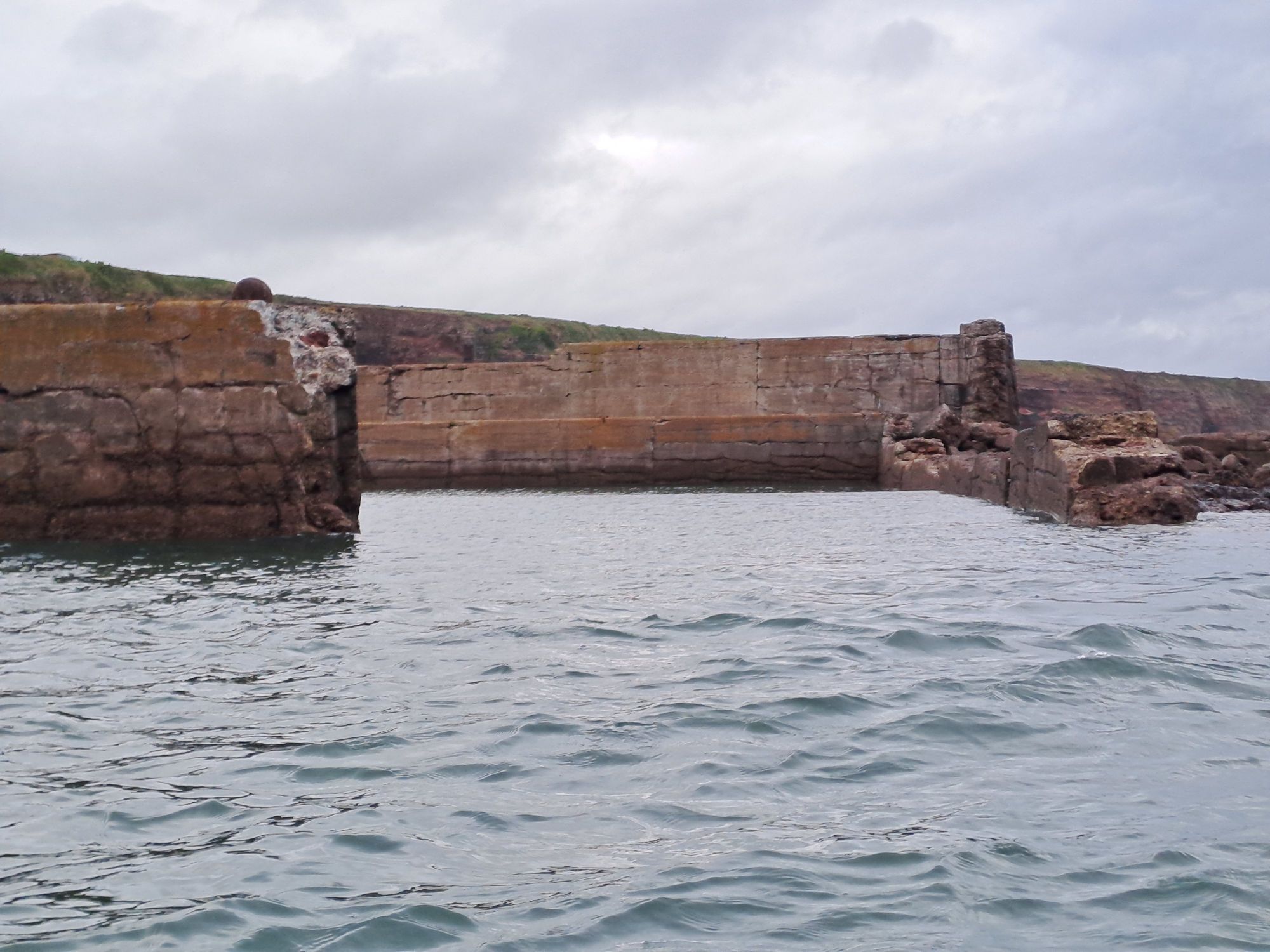
I did a short tour of Auchmithie Harbour, or at least, what’s left of it. It doesn’t look as though many boats make use of it now.
Auchmithie. North harbour wall. Auchmithie. South of harbour entrance.Auchmithie from inside harbourLooking south from Auchmithie Harbour
Many of the cliffs had shingle at the bottom, so although there was a half metre north sea swell running, there was very little reflection coming back from the cliffs.
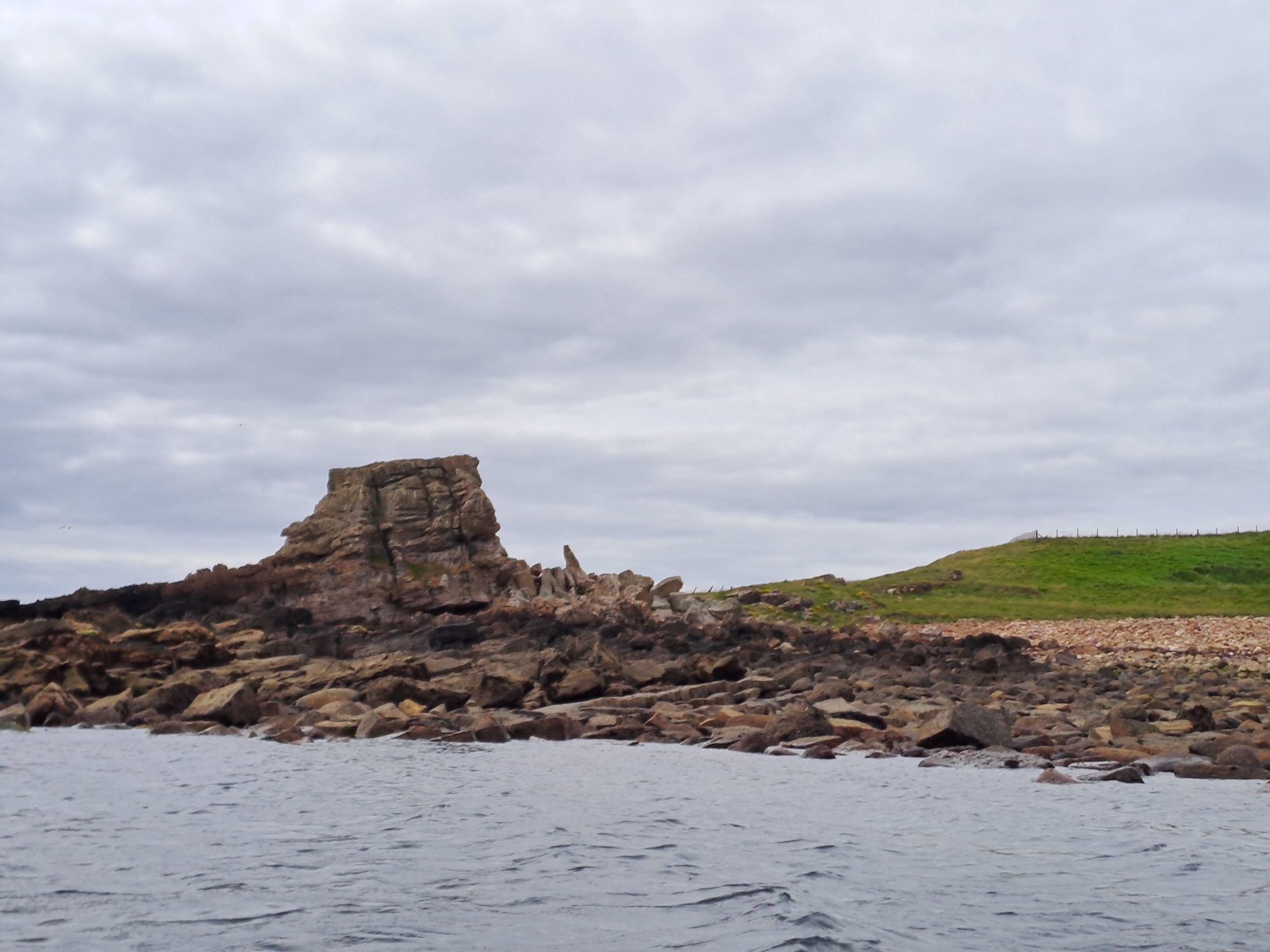
Carlingsheugh BayCarlingsheugh BayThe deil’s heid
The last section of cliffs after the Deil’s Head were the exception, and the clapotis was quite substantial. It was here that a small pod of dolphin, heading north, swam past. There was no possibility of getting my phone out to snap some photos as I needed my hands on the paddle.
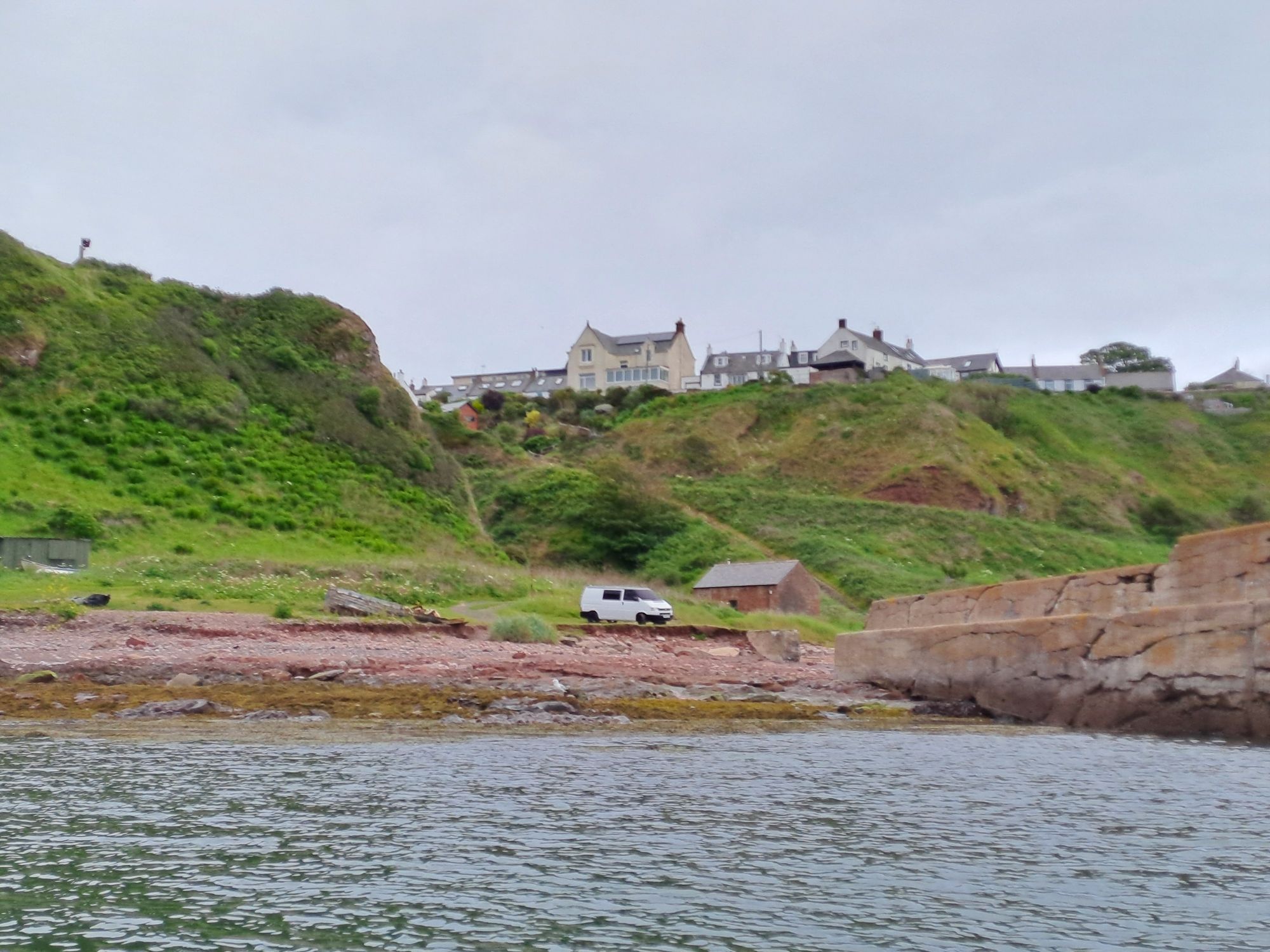
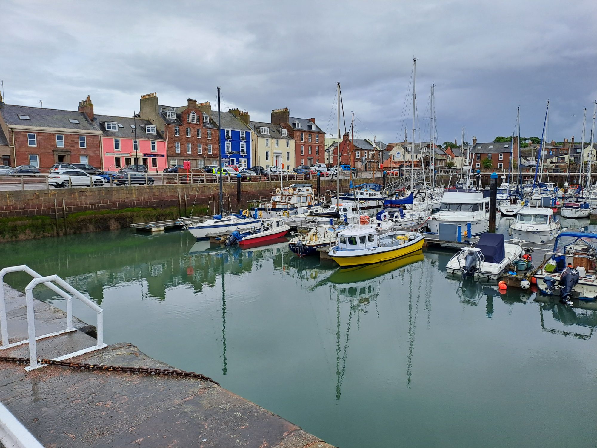
It was just before 10 am when I beached my boat on the gently slopping sandy beach in the outer harbour beneath the attractive Signal Tower Museum building. I had time to change out of my wet paddling gear before The Old Boatyard Restaurant by the harbour opened at 10.
Arbroath Harbour
Before the breakfast stop, the wind had picked up to a steady F4, and I was preparing myself for a slog along the coast to Carnoustie. However, a heavy rain shower passed over when I was in the restaurant, and both the sea and wind had calmed down considerably when I set off again.
High and dry in Arbroath outer harbour
When I exited the harbour, I could see the shore south of the Tay and picked a point to head for. I was on a bearing of 210 degrees, getting slowly further from the northern shore. If the wind did pick up, I could always change my course more westerly to regain the shore. I was going to maintain my course until I was due north of the eastern end of the substantial sandbar on the southern side of Tay Estuary and then head south.
As I got closer to my turning point, I could see the inner channel marker buoys. I changed direction slightly to head directly towards the starboard one. Turning south at the buoy and crossing the channel at right angles would put me in the shipping lane for as short a time as possible. I attempted to take a photo before crossing, to take in the two channel buoys and the marker point on the shore I’d been heading for, but I ended up broadside on to a short period steep sided sea. Not a comfortable position to be in with paddle on the deck and phone in hand. Time to concentrate on the job at hand.
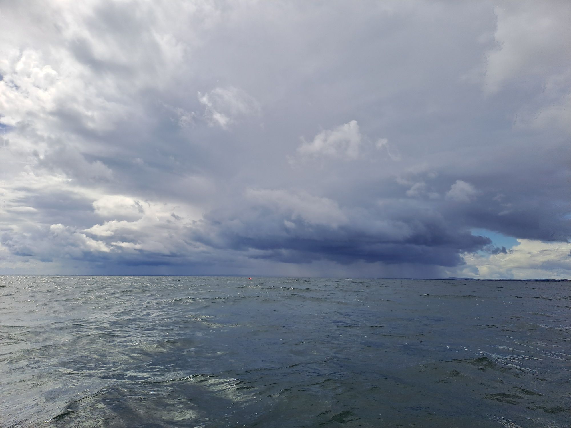
Rain shower over the Tay Estuary
I passed close enough to the port buoy that I could read its name (Inner Red) and see that there was only a very slight easterly current running. I was crossing at the ideal time – just before slack water.
At this point, I felt everything had gone well and that my decisions had been good ones. I continued to paddle southward until south of the sandbar and then headed back on my 210 course towards the reliable markers on the shore. As the westerly wind strengthened, it started to dawn on me that my shore marker was further south than I realised (just north of St Andrews) and that I was six kilometres offshore.
I headed west, directly into the wind and sea, and paddled hard. If it hadn’t been for my GPS telling me that I was making steady progress, I wouldn’t have believed the distant trees of Tentsmuir Forest were getting any closer. It took two hours of non-stop hard paddling to finally regain the shore.
My hardest day of the trip so far. I’ll be happy for it to remain that way.
I was up early and was on the water just after 6 am. No breakfast required, after yesterday’s big three course dinner. I was keen to get as many miles under my belt as I could before the forecast strong headwinds hit me.
There is a blog post I always remember from James’s Pacific Crest Trail hike – “10 before 10” – about how getting 10 miles in before 10 am is the perfect way to start the day. As a sea kayak can travel a little faster than someone walking, I’ve raised the bar a little to 10 nautical miles before 10. And as I tend to work in kilometres, I’ve raised it a little higher still by rounding it up to 20 kms before 10. I haven’t managed it so far this trip – either starting too late or getting hampered by locks on my Lowland Canal days. I use this as my motivation to crack on.
As I’m using a GPS to measure distance covered, it doesn’t matter if I take a few minor detours to investigate a couple of harbours on my journey south – every metre gets logged.
Gourdon Harbour and last night’s dinner locationJohshaven Harbour
By 8am, I feel as though I’ve got it in the bag as I’m easily up on the halfway distance. However, a required relief stop ashore puts a successful completion back in jeopardy.
It is a murky day, and the last several kilometres north of Montrose are a featureless flat beach in the gloom. My energy stores are running low, and the chance to complete the challenge is the main driver to keep going. At 9:52, the “distance travelled” field on the GPS rolled over to 20, and, as luck would have it, I had reached the beach below the breakwater at Montrose. An immediate exit and a trek inland to find breakfast. I thought I might have to walk a good distance into Montrose to find anything to eat, but luck was on my side again. The Traill Pavilion was only just out of sight of my kayak and served an excellent full Scottish breakfast and pot of tea. To celebrate a challenge completed, I even rounded it off with carrot cake and coffee before I left.
Montrose Traill PavilionLooking north from Montrose. Kayak on the beachLooking south from MontroseScurdie Ness Lighthouse
After rounding Scurdie Ness, the landscape got more interesting, and the sun started to make an occasional appearance. I was feeling refreshed and had the time and energy to get another 20 kilometres in.
Unfortunately, the forecast winds arrived halfway across Lunan Bay. Although OK for completing the bay crossing to Ethie Haven, it would have been foolish to attempt the next cliff section of coastline to Arbroath.
Ethie Haven
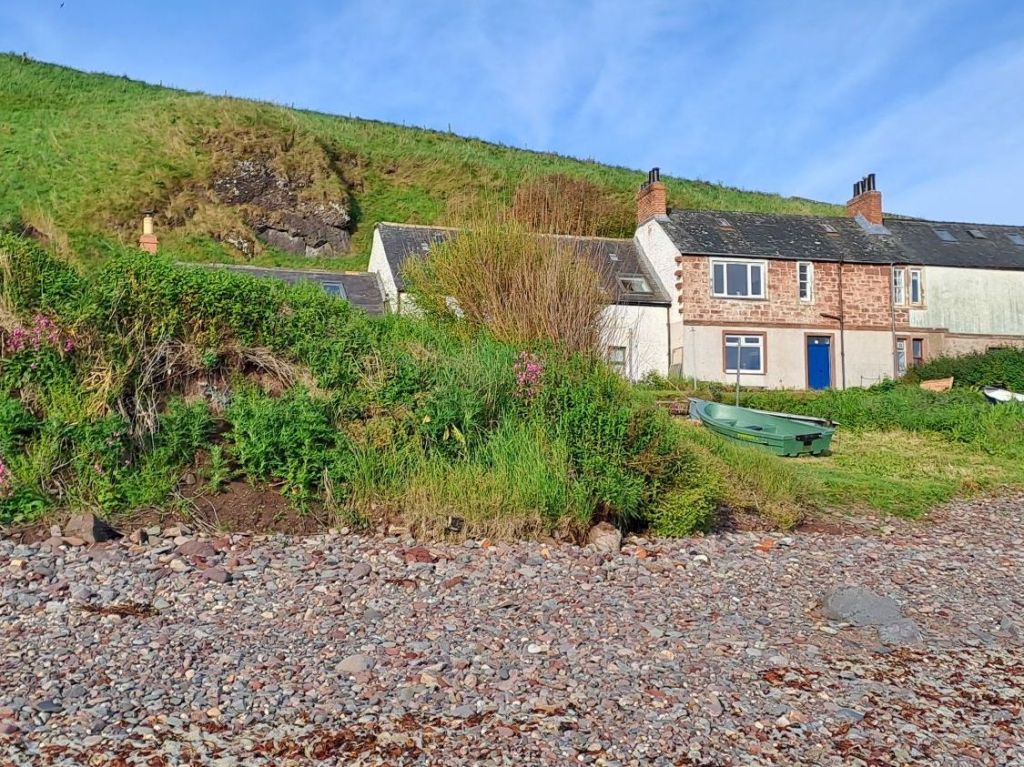
There were a few residents out in the small community at Ethie Haven. I chatted to them about my camping options. They generally have a no tent policy within and around the gardens of the cottages, but as keen sea kayakers themselves, they were prepared to make an exception for my single tent for one night. They even had an outside loo I could make use of. It was the perfect spot to make an early camp and get my wet kit dried on the now sun baked rocks above the high water line.
I ate breakfast at the hotel when they started serving at 6.30 and then walked the half hour down to the harbour. The boat was packed and ready to go, so I got an early start in the wet and misty gloom.
Not the sort of Scottish weather I’d been getting used to
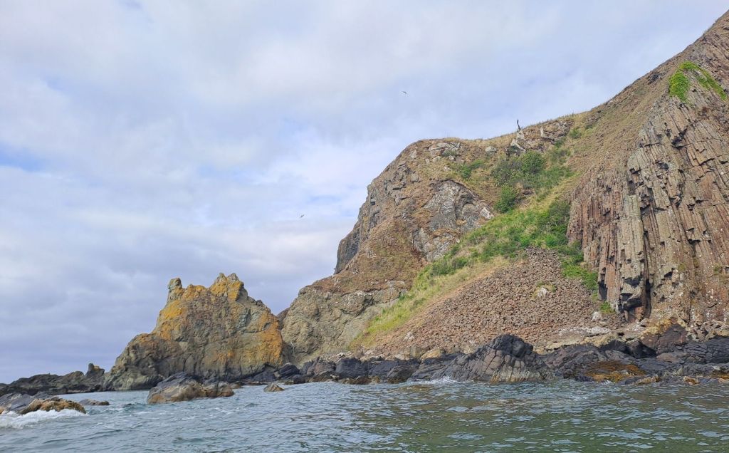
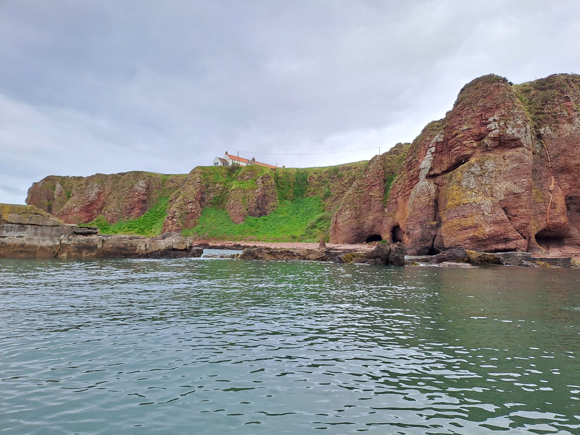
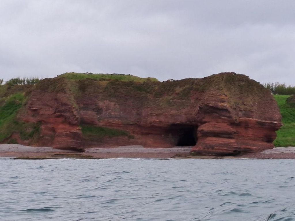
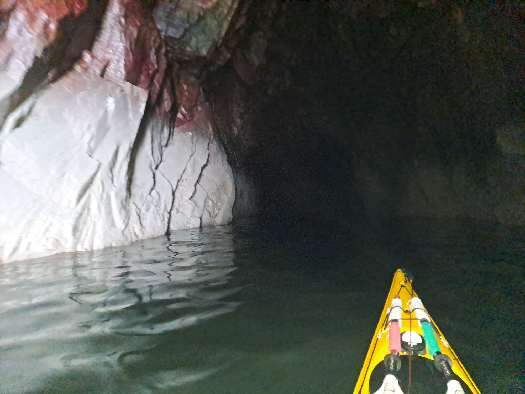
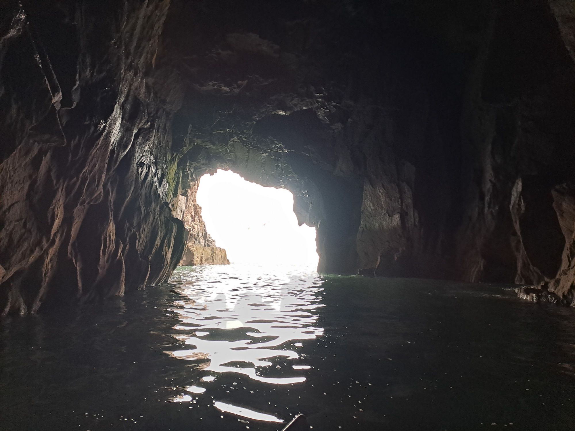
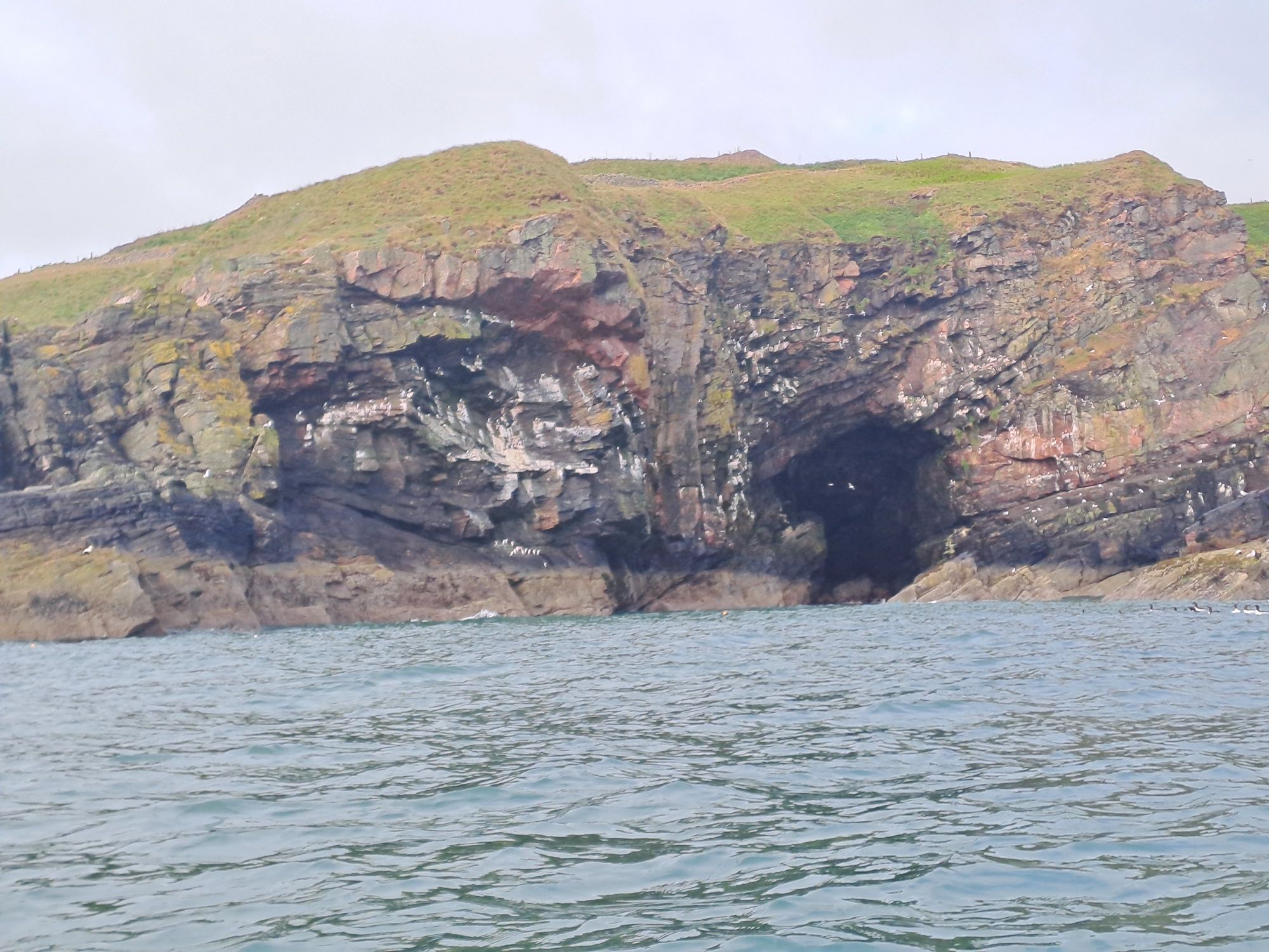
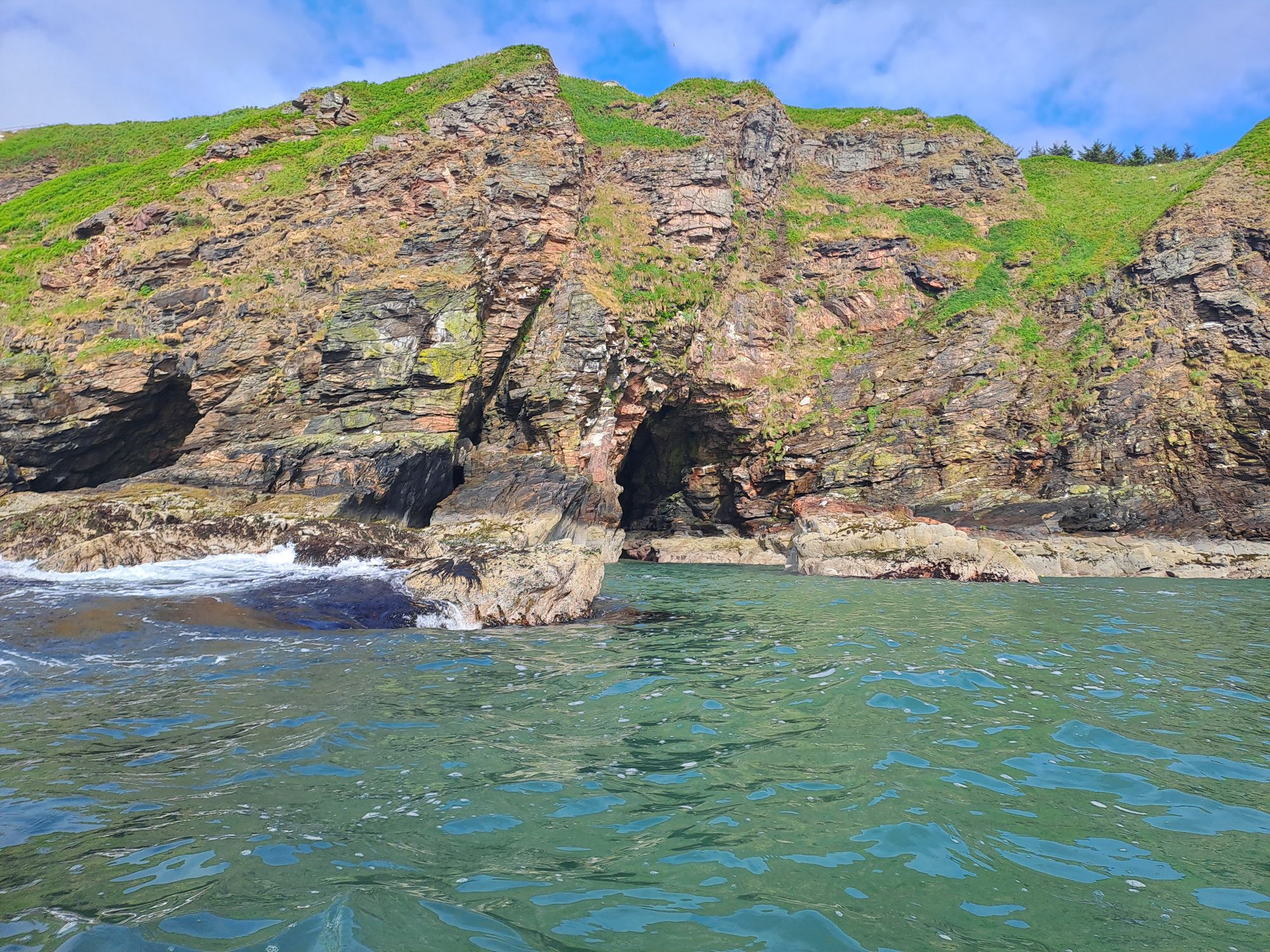
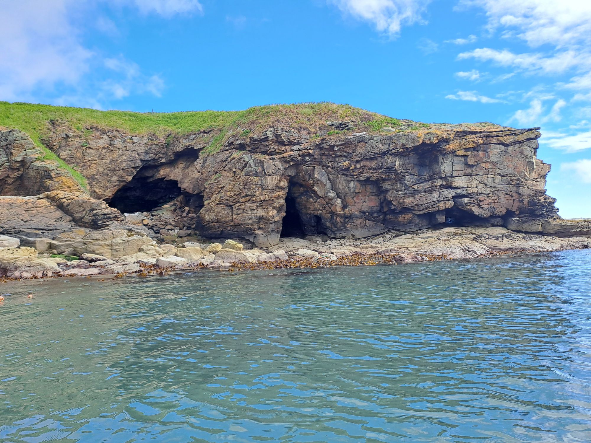
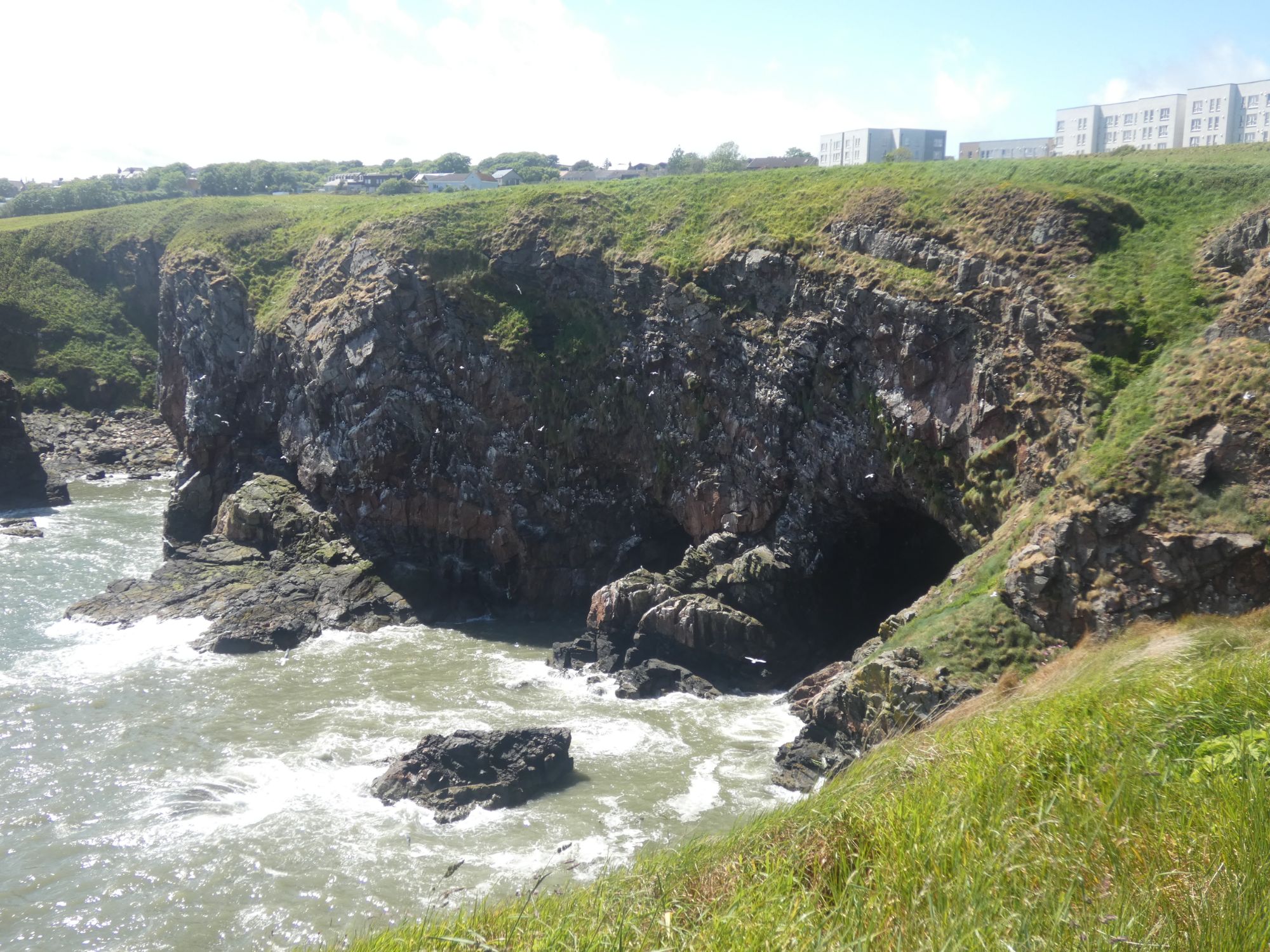
The abundance of caves along this coastline started immediately. I took a peak in one of the first to appear. I could hear some surf breaking on a beach in the dark, but Jim had mentioned that some have short beaches before continuing with more water. I wasn’t going to check it out on my own.
Is this the 3/4 mile long cave Jim mentioned?No further than 50 metres for meWhite eyed monster lurks within! (Just two seabirds, really)Caves dot this coastRed streak
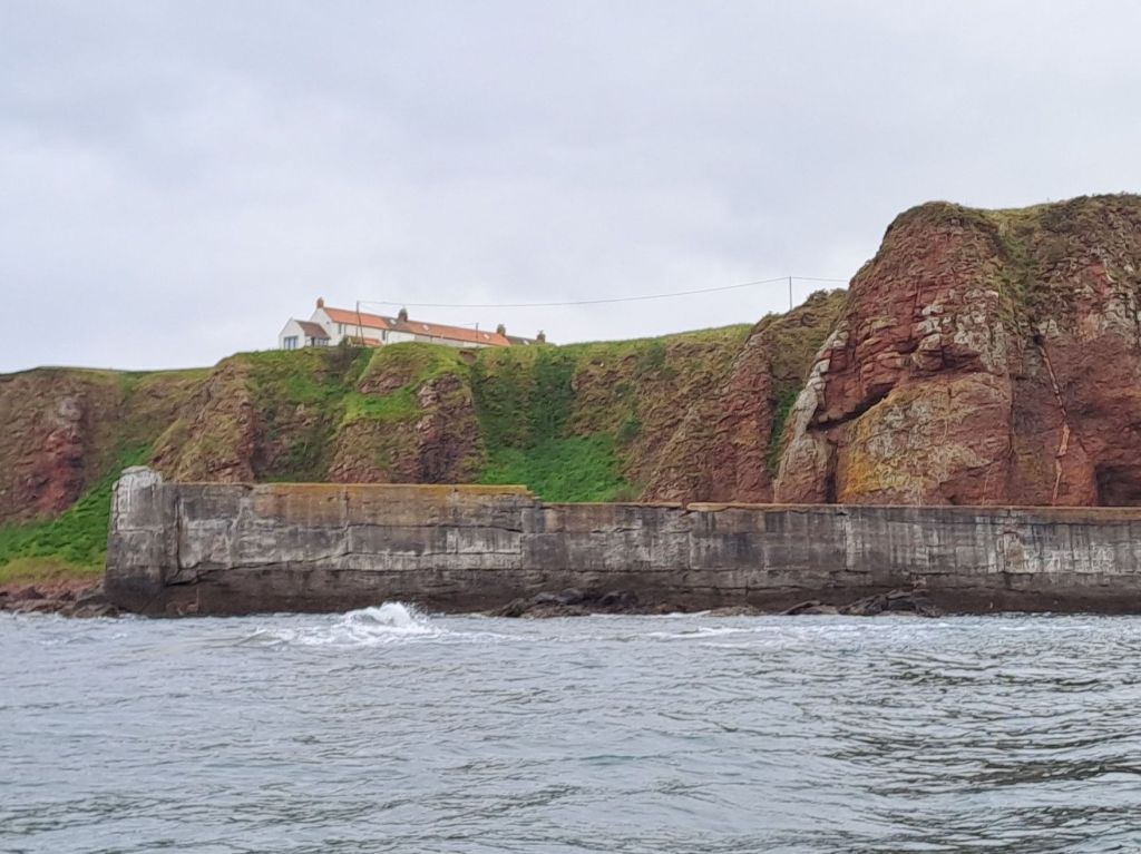
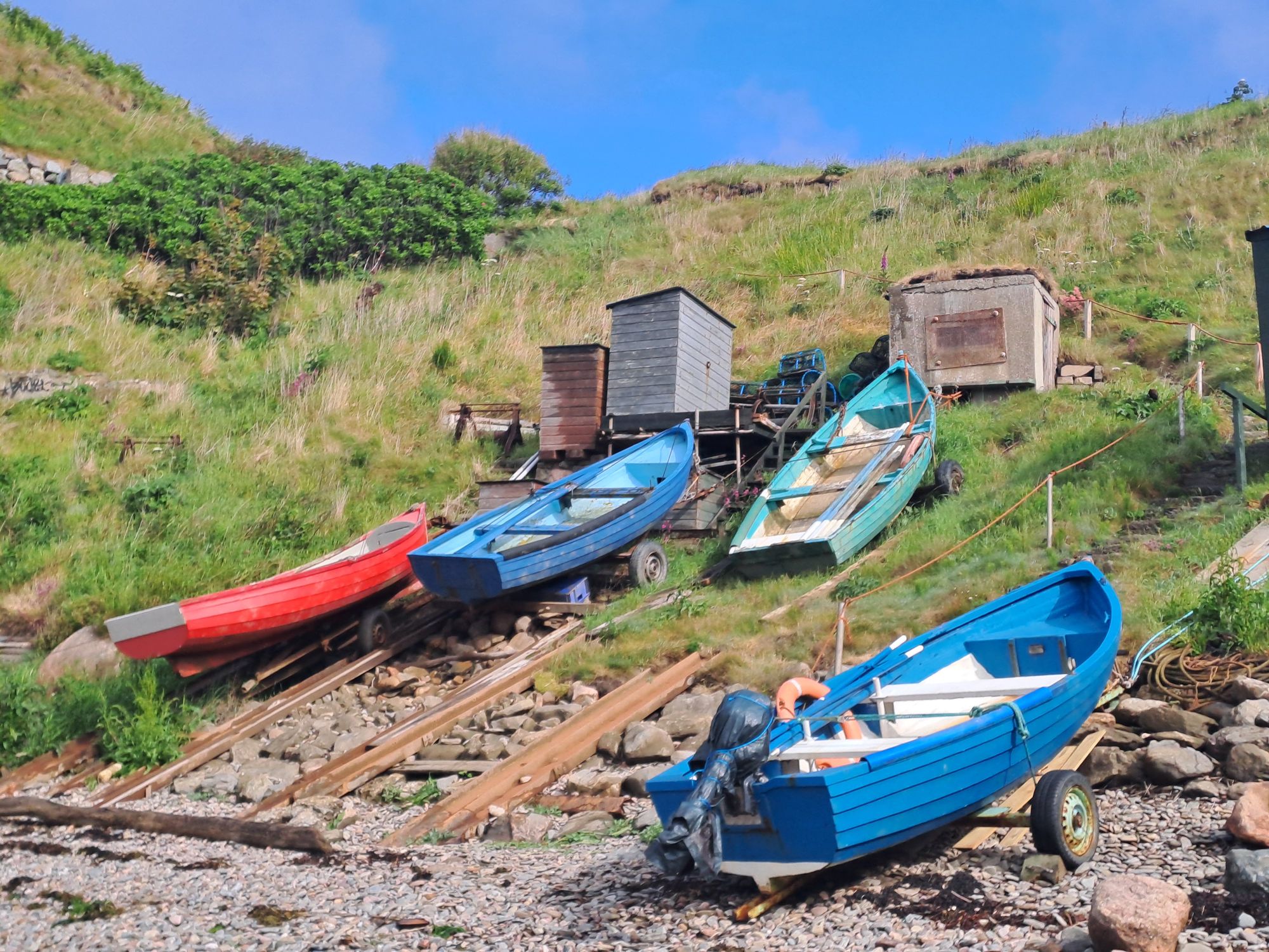
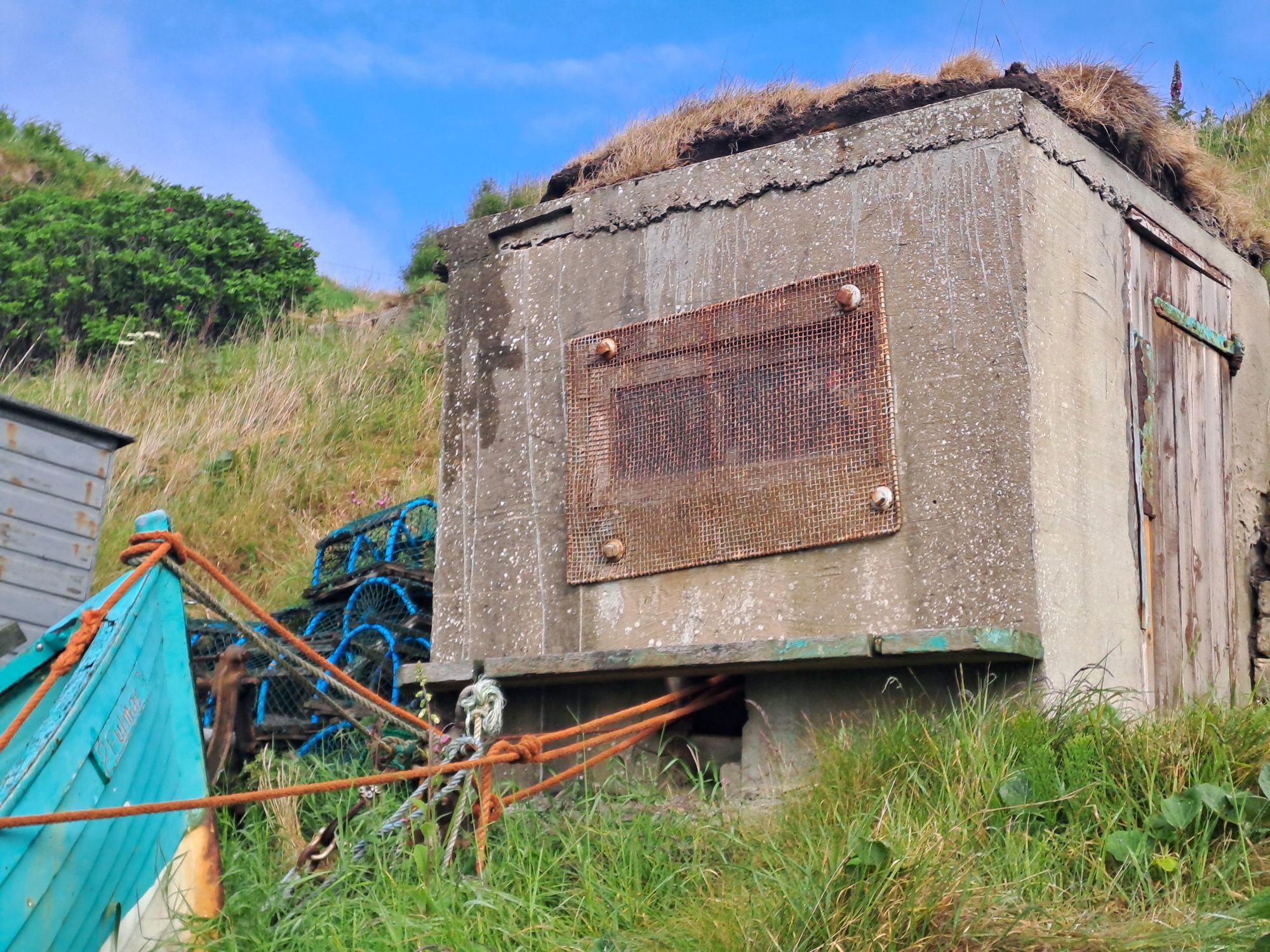
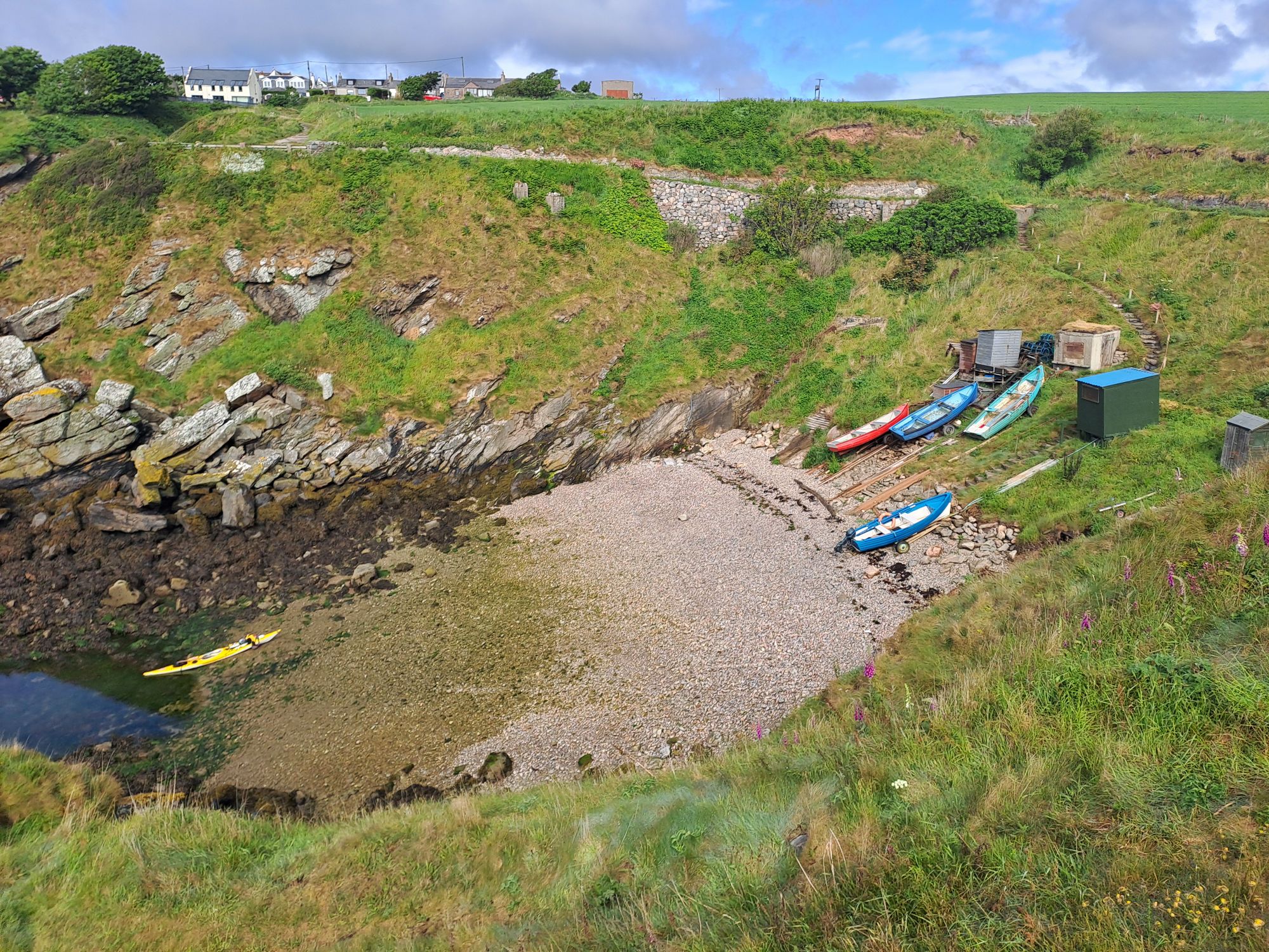
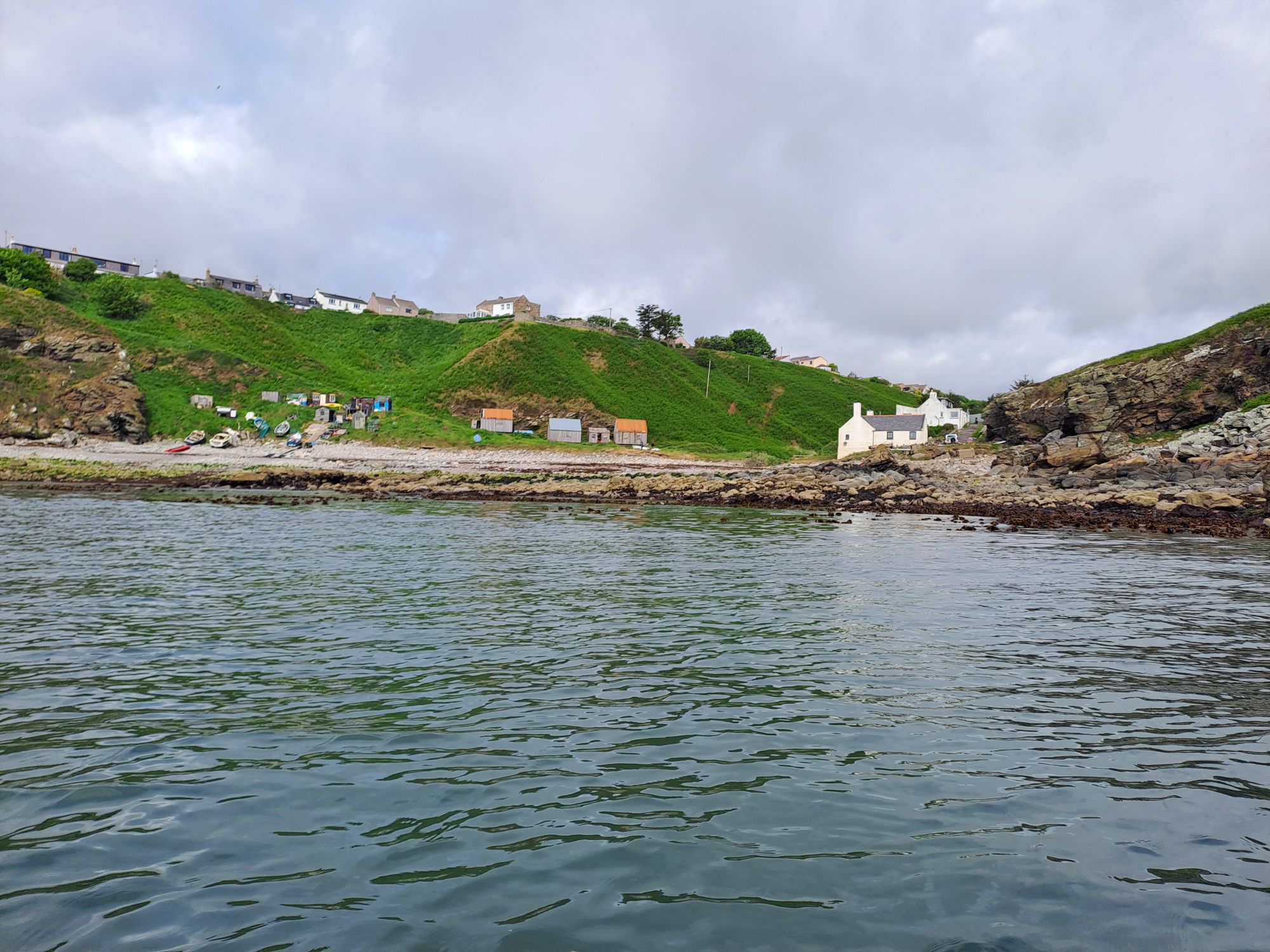
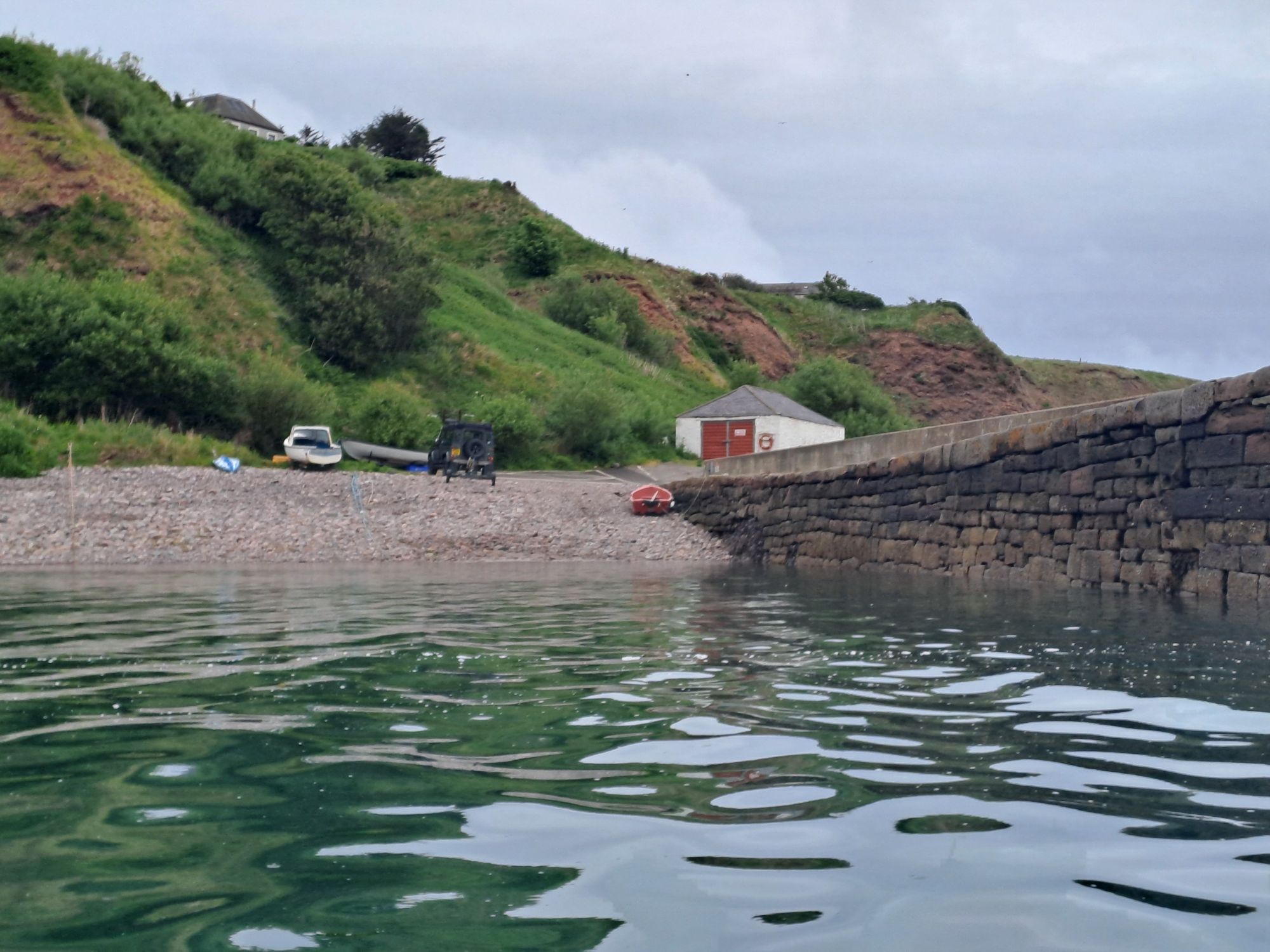
I stopped at the natural harbour of Portlethen, where small fishing boats are still hauled up the steep grassy slope by winch.
Boats winched out at PortlethenA winch houseOn the walk to the topPortlethen VillageFloors CraigMore small boats at Newtonhill
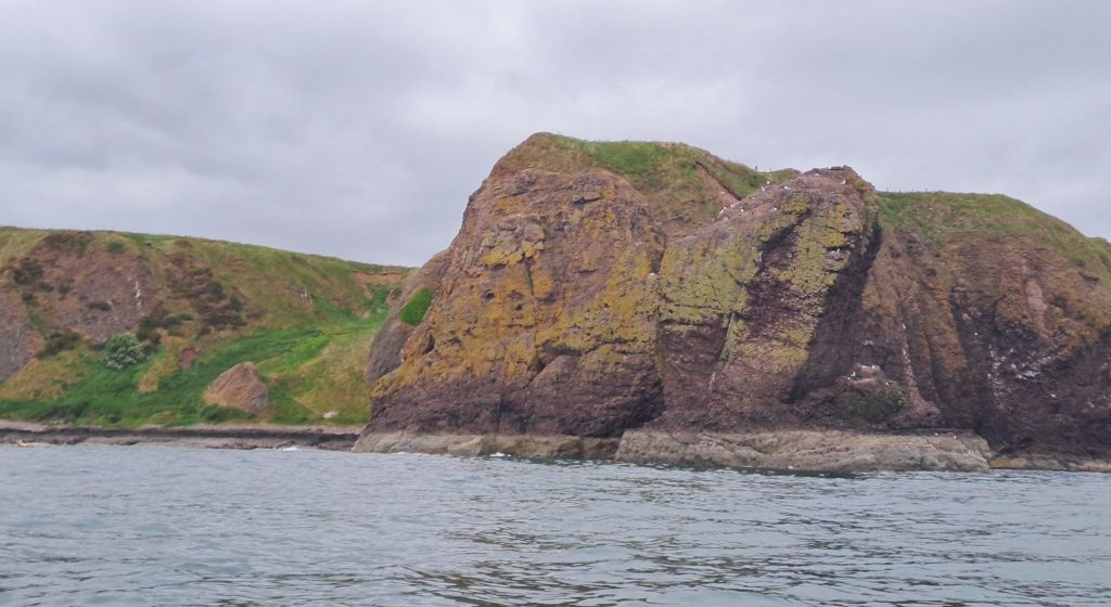
This section of coastline north of Stonehaven is continually enticing you to engage in some “rock hopping” – the act of getting up close and personal with the rocks without actually embracing them. There is an adrenaline rush to be got from timing the surf just right and sailing through a narrow gap over a rock that only moments before was above the surface. Equally, there is that frightening moment of realisation when things haven’t gone quite right, and you know you’ll be spending the next few days repairing the gell coat on the hull of your pride and joy. It’s an activity better undertaken on a day trip with an old plastic kayak, a helmet, and a few mates to scrape you off the rocks when things go wrong. Today, I only engaged with the most conservative wide channels and well covered rocks – hardly rock hopping at all.
A stone hedgehog with yellow spinesCastle Rock of Muchalls
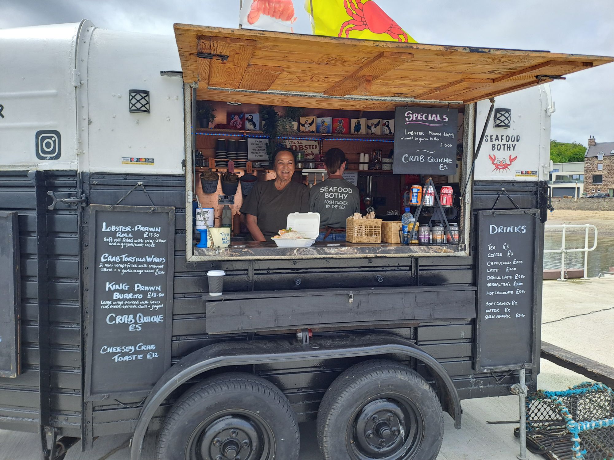
At Stonehaven, it was time for lunch, and as I approached the harbour, I was thrilled to see a queue of people lined up at the counter of a seafood trailer van on the harbour wall. I immediately grounded my kayak alongside an assortment of boats in the harbour and walked back to the Seafood Bothie. It didn’t disappoint.
RNLI at StonehavenSeafood Bothie at Stonehaven
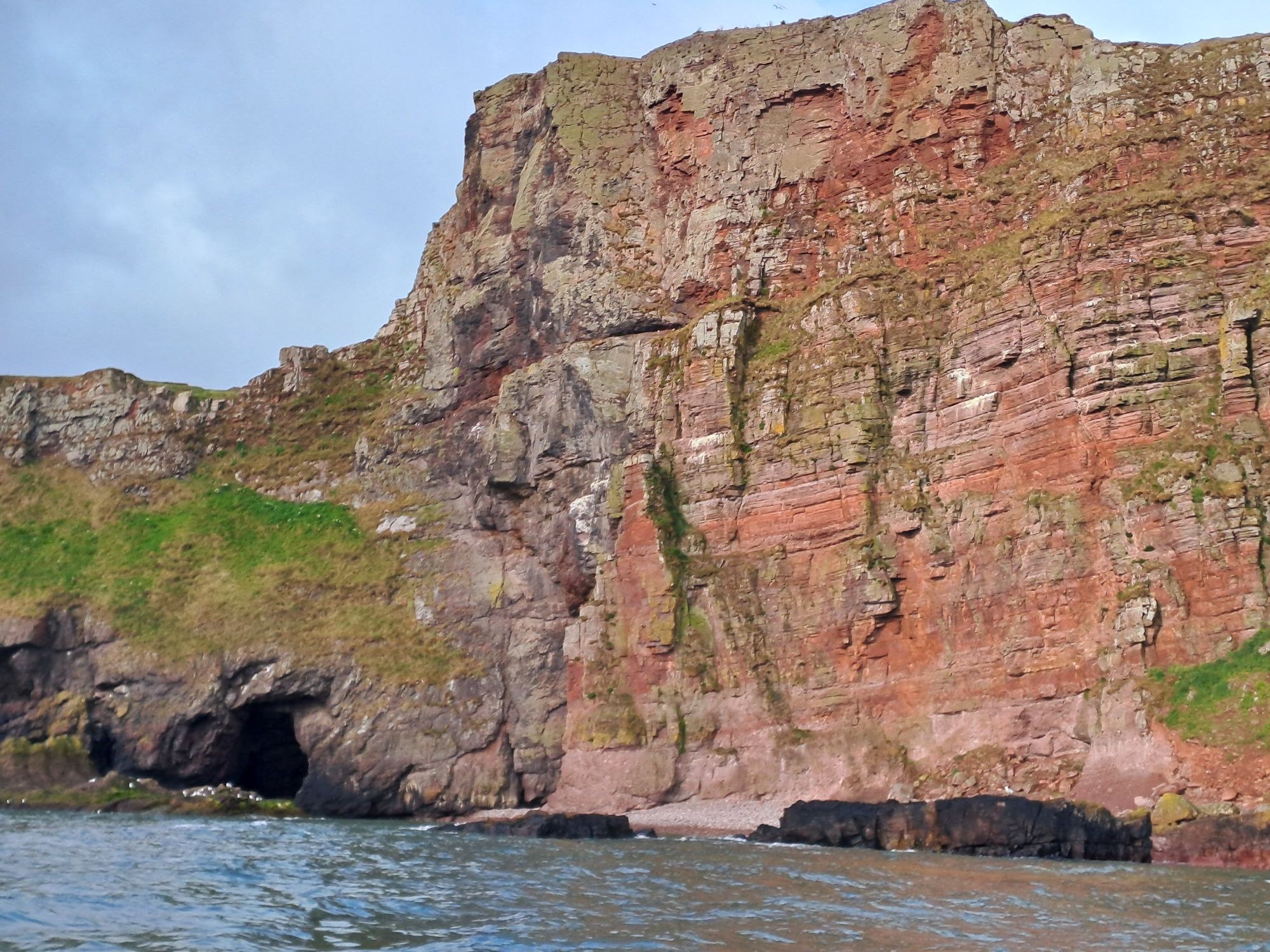
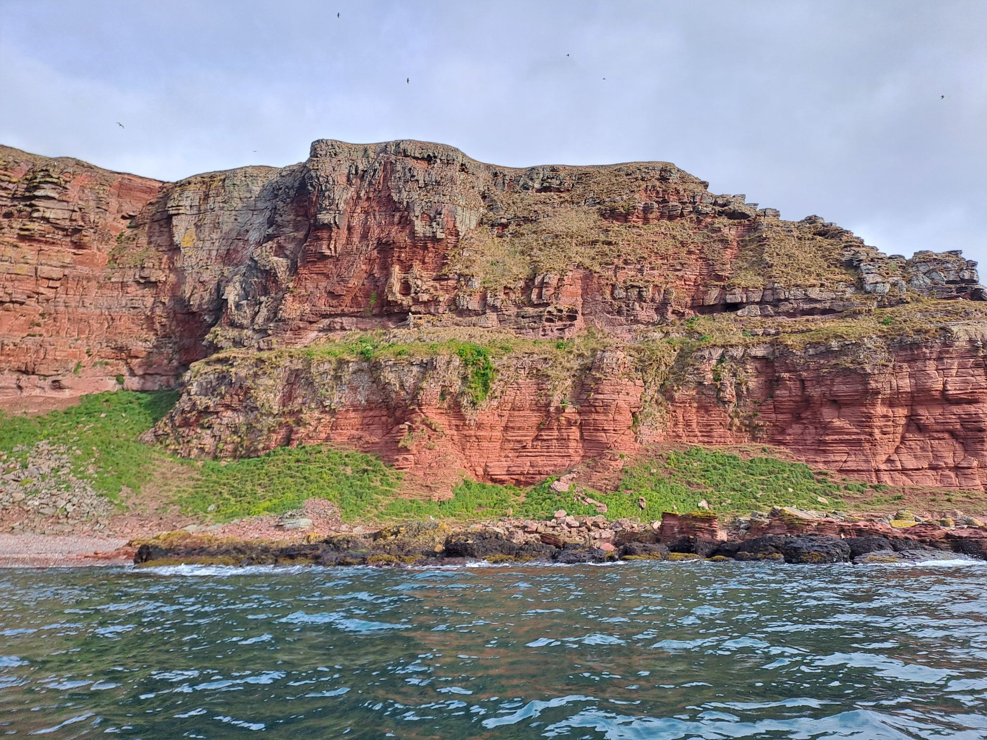
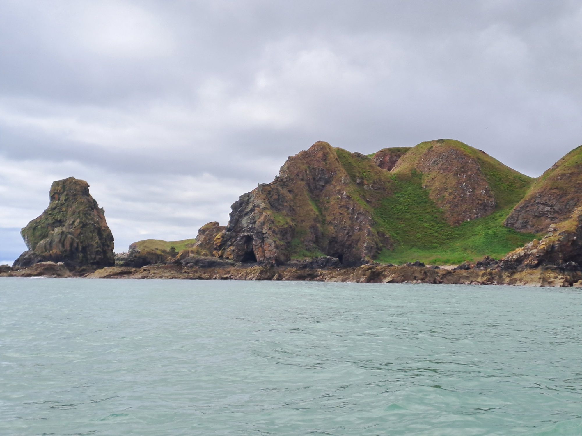
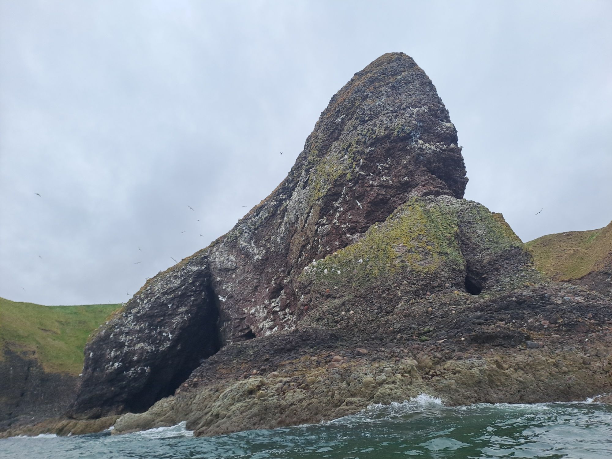
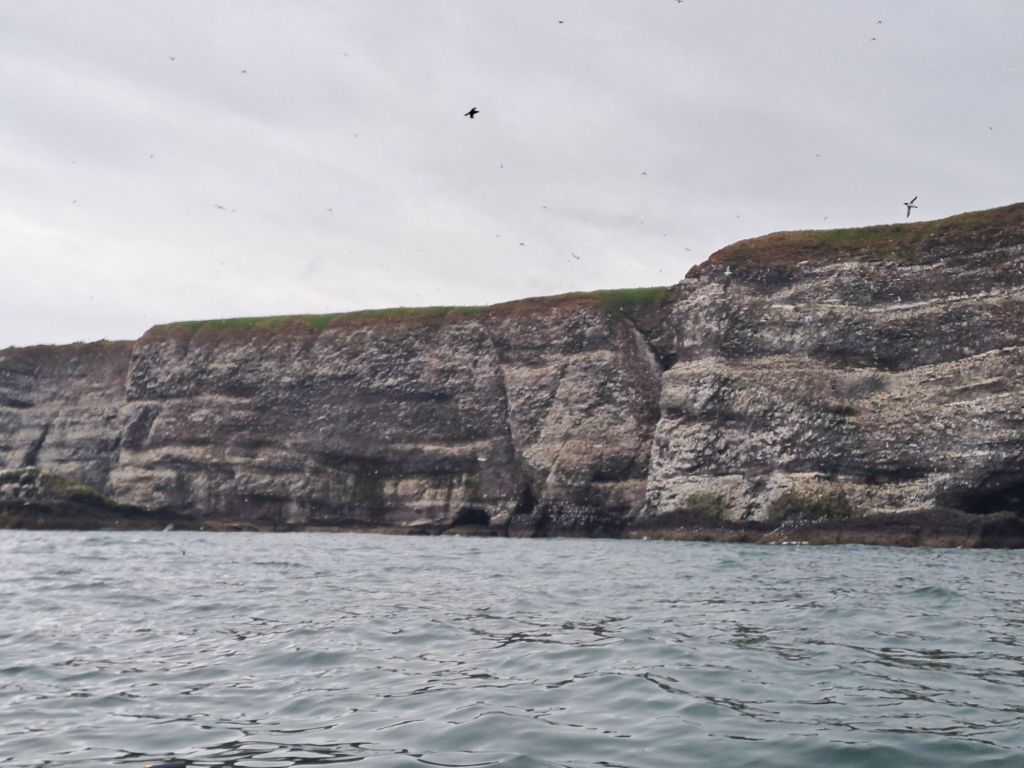
Once south of Stonehaven, the nature of the rocks and cliffs changes quite dramatically – huge cliffs of conglomerate rocks containing some very large rounded rocks and pebbles.
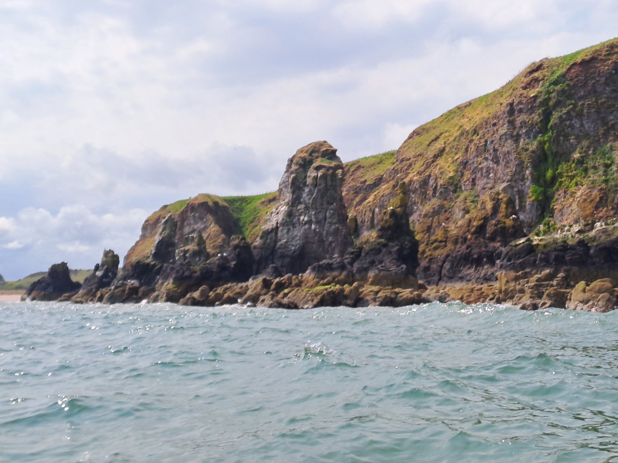
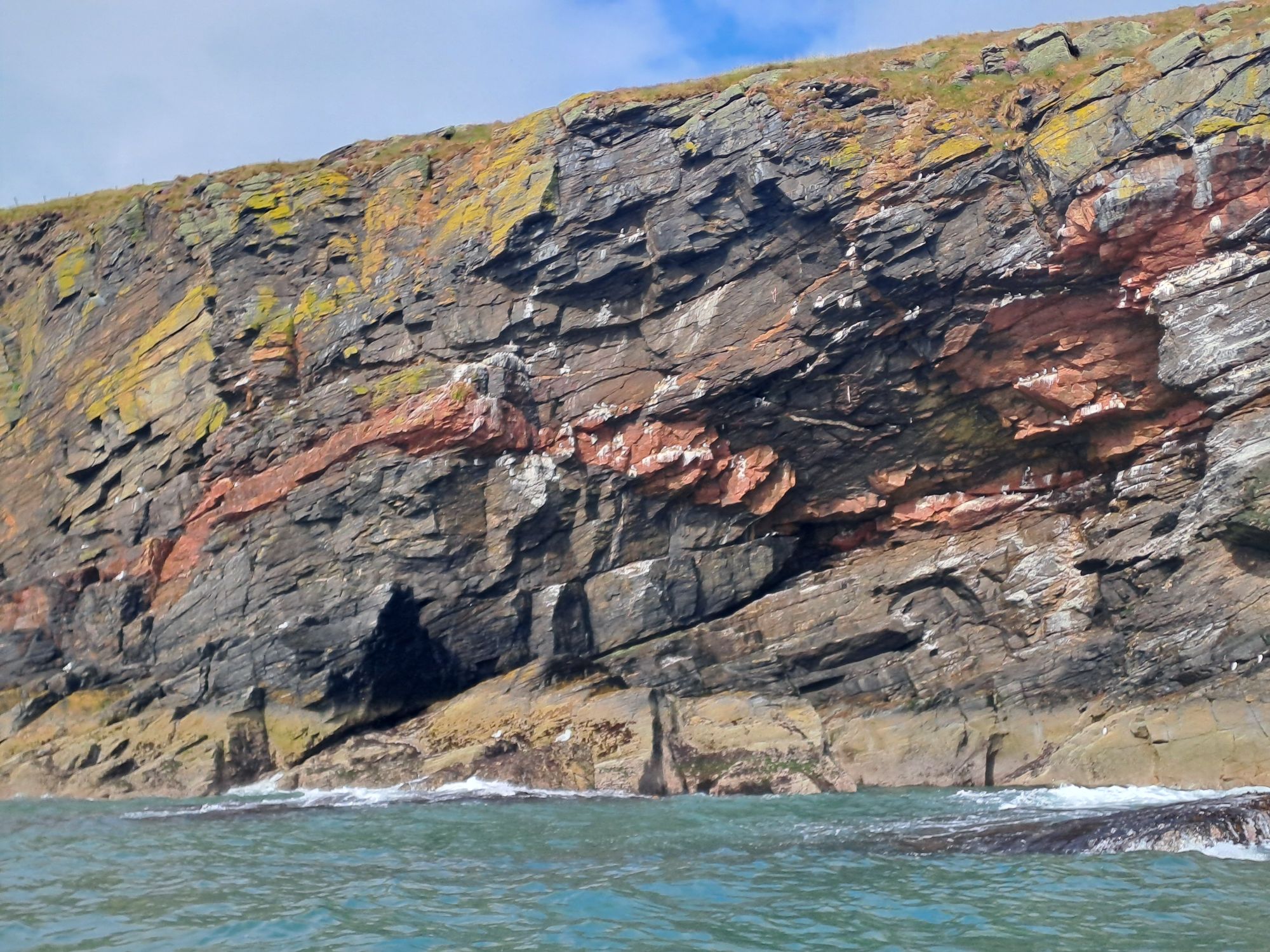
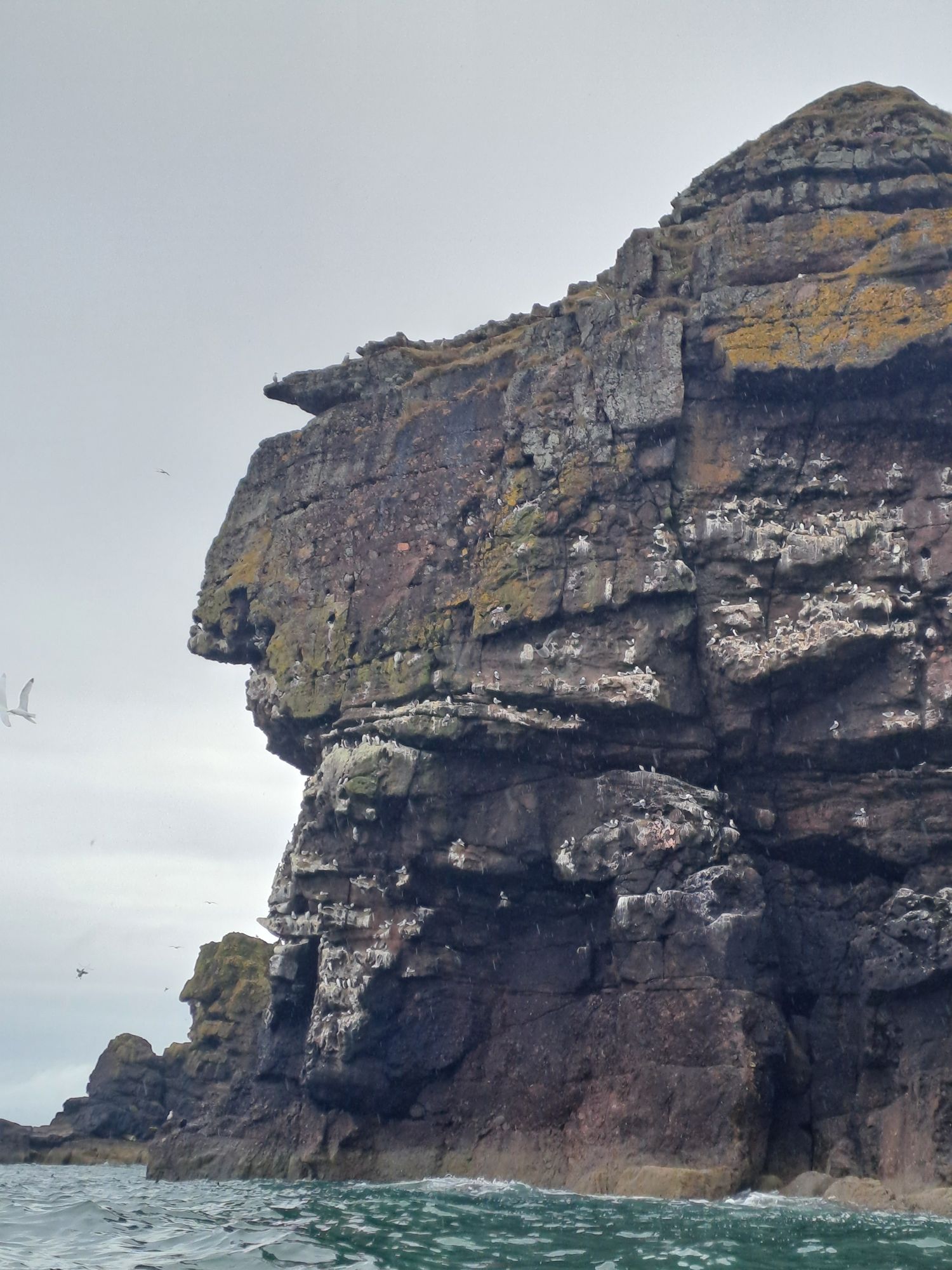
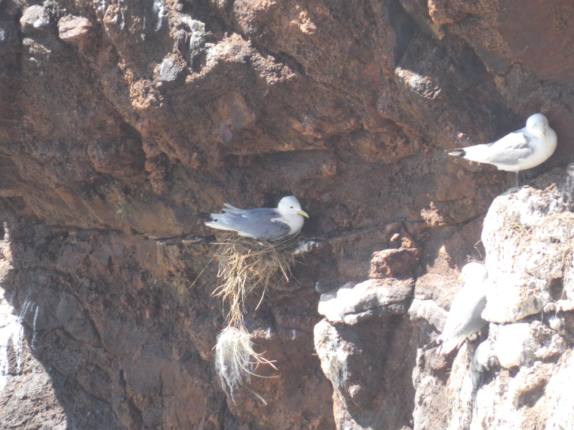
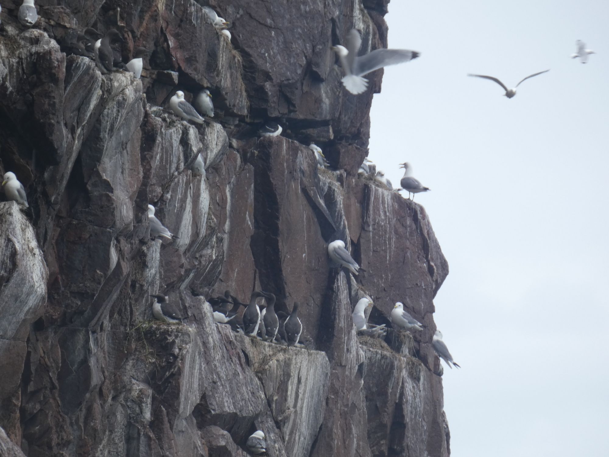
In the cliffs closer to Inverbervie, large numbers of seabirds take advantage of these pockmarked cliffs to locate their nests.
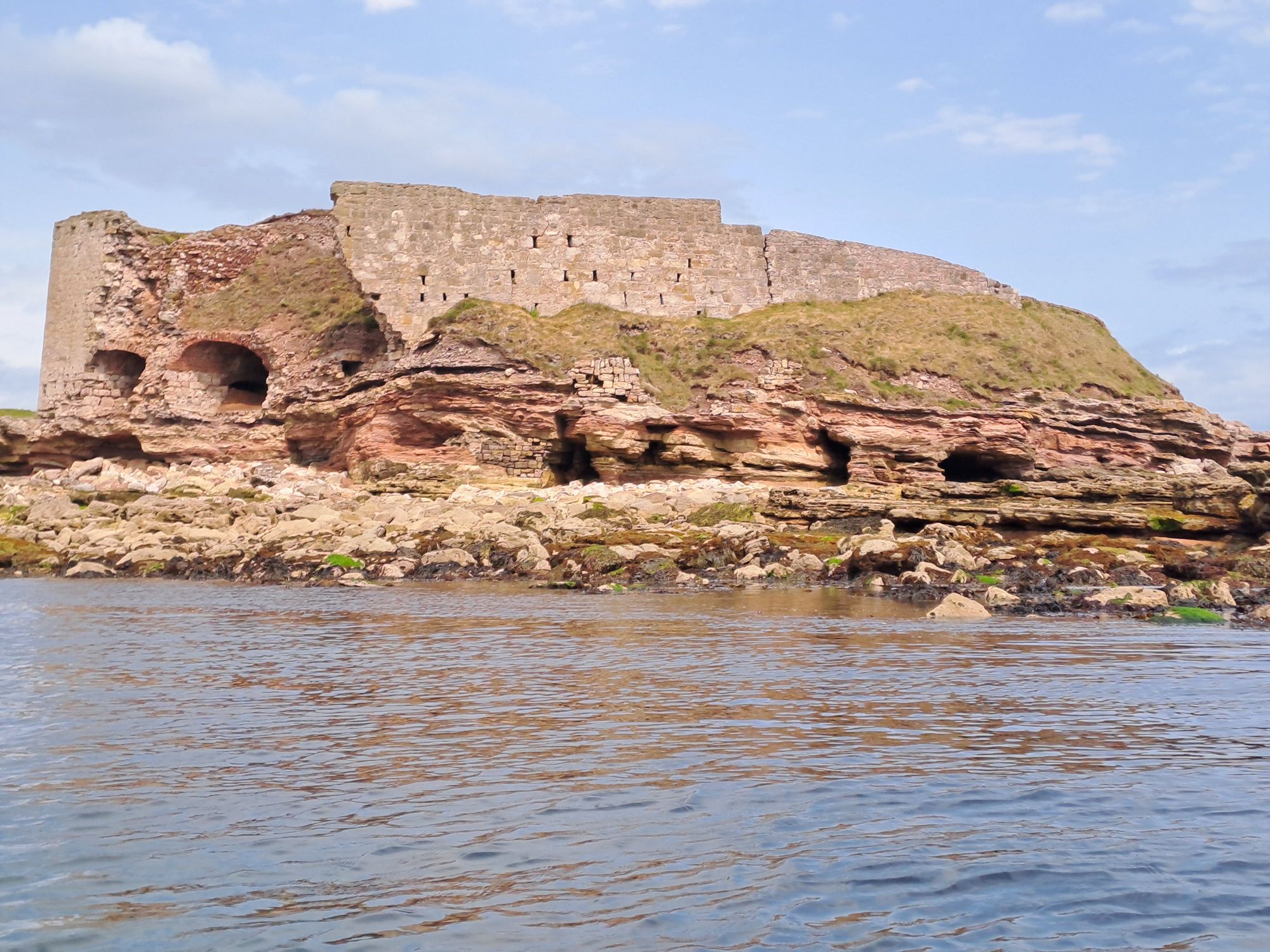
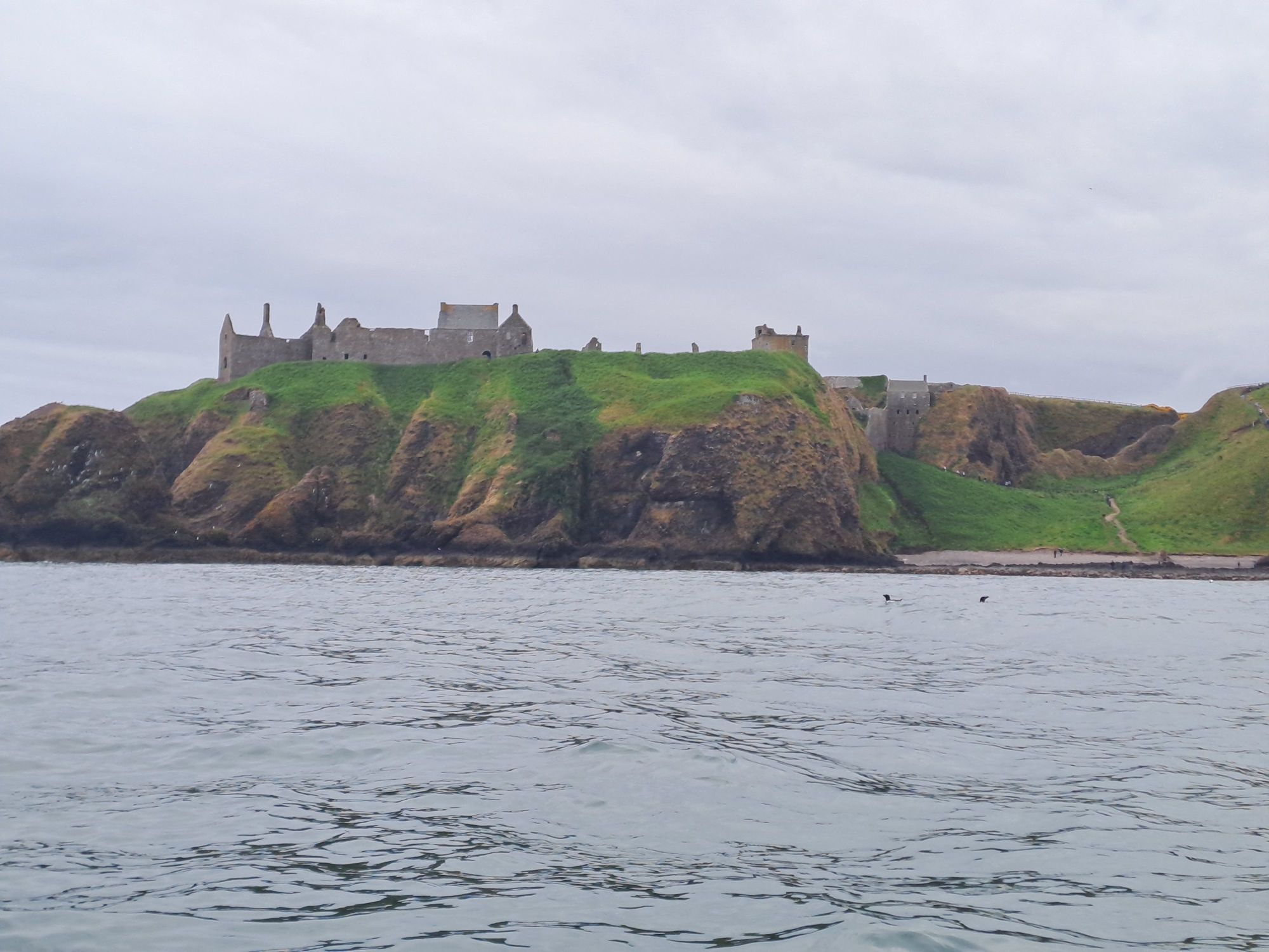
Bowden HeadDunnottar CastleDunnimaolSeabirds nesting on the pockmarked cliffsCatterlineScarts’ CraigBervie Bay and River
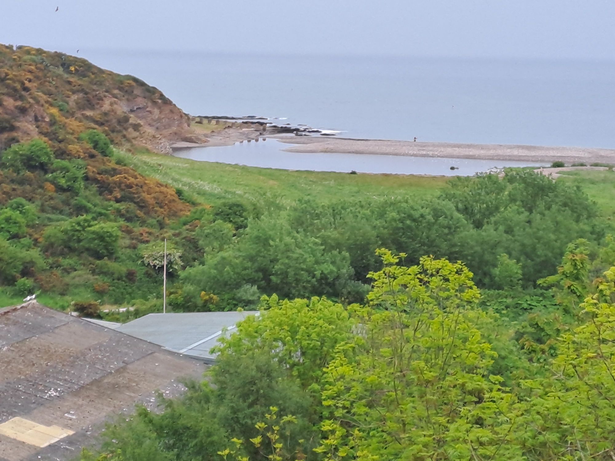
I set up camp at the mouth of the Bervie River opposite Inverbervie. I crossed the river and was met by my brother, Ian, and his wife, Fiona, who were in Scotland on holiday. They’d travelled a considerable distance to come and see how I was getting on and treat me to dinner at the excellent fish restaurant in nearby Gourdon. A great end to a good day of paddling (that’s using a paddle to propel a boat, and not wading calf deep in water with your trousers rolled up, as my sister-in-law likes to imagine it).
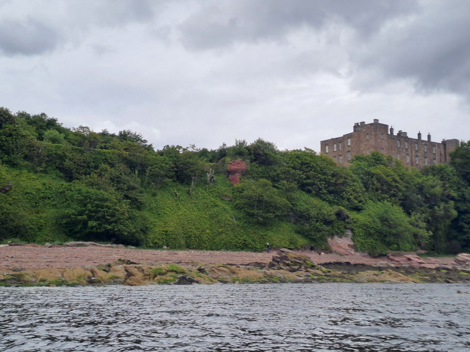
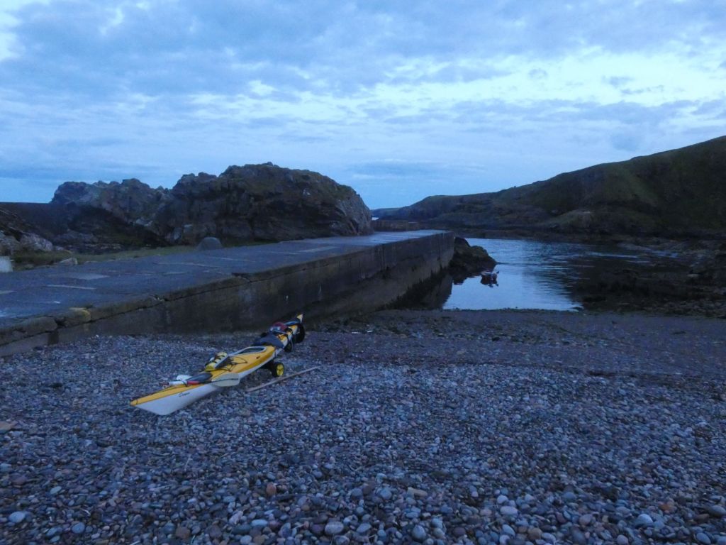
When I returned to my campsite after dinner in the Cove Bay Hotel yesterday evening, there was still a little light left and it was calm on the water.
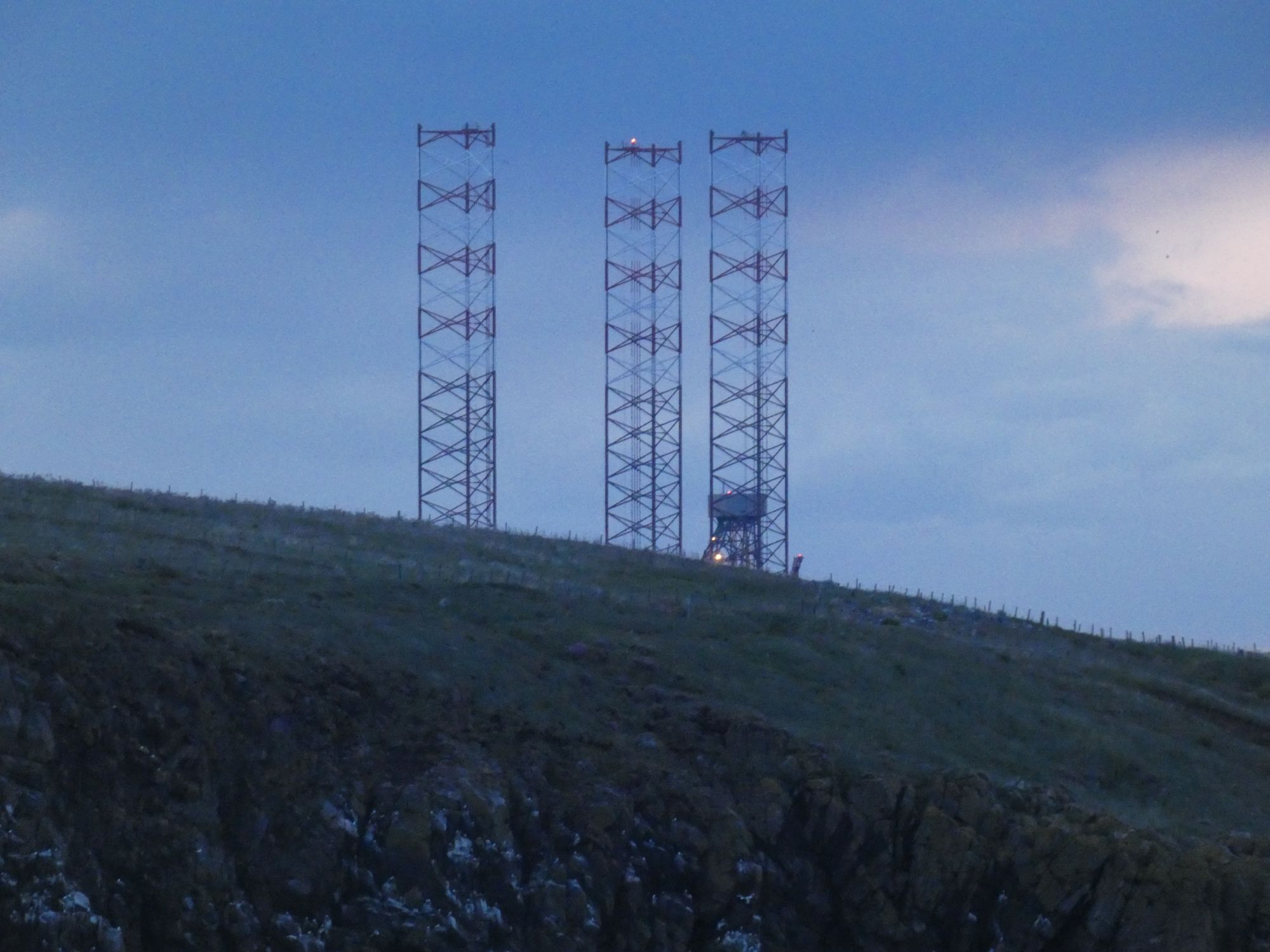
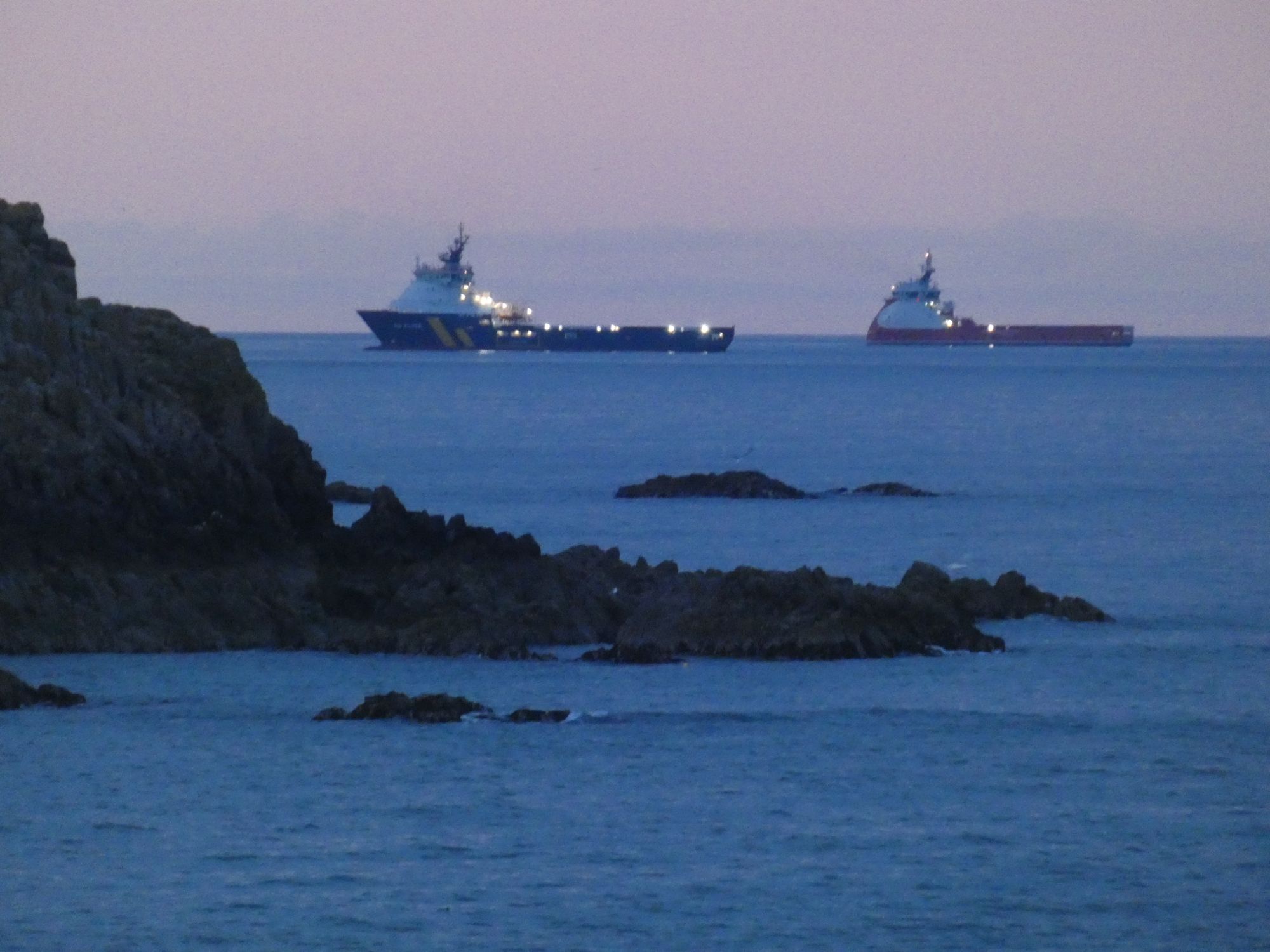
A calm Cove Bay HarbourThe tops of the platform legs currently at the Nigg Bay siteSupply vessels standing off from Aberdeen Harbour
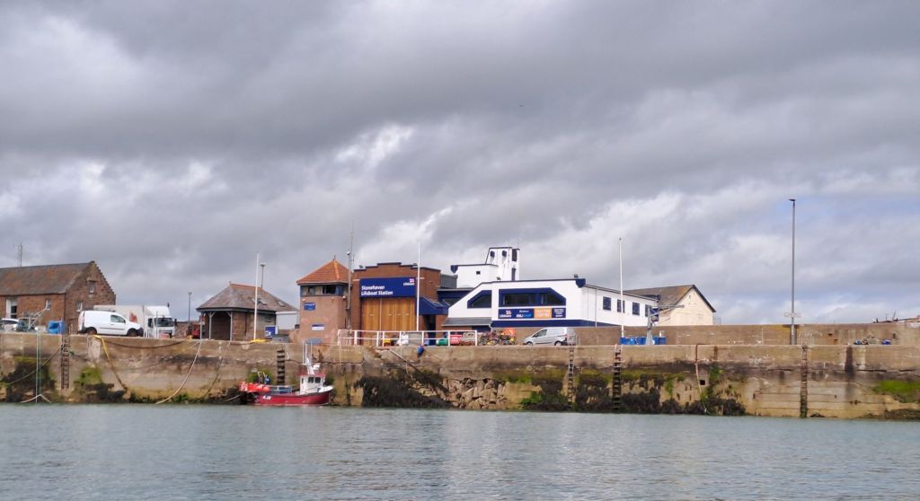
When I awoke this morning, I went through my normal routine of getting everything inside the tent ready to be packed into the kayak. It wasn’t until I left the tent that I realised I was sheltered from the worst of the southeasterley wind by the harbour wall. There would be no paddling today. It was blowing a steady F5 with gusts considerably stronger, and the rain appeared to be settling in for the day.
Taken later in the day when the rain had finally cleared
Joyce, who I’d shared an evening meal with a couple of days ago, was still monitoring my progress. When she saw the weather conditions today, she got in touch to say that her friend, Jim, lived on the road above the harbour. He kindly invited me in when the rain was at its worst, and I continued my education on the lives of east coast fishermen over a cup of tea and scone. He had pictures on his wall of him as a lad with his father in a small boat holding up huge cod fish. The days of catching cod close to the local shores are now past.
Other conversations at the harbour with an old fisherman and Stephen (whose daughter is also an Edinburgh based sea kayaker) served to further highlight how fishing has changed here over the last fifty years. No longer can salmon be caught in nets in their thousands as they migrate north along the coast to their river spawning grounds.
The, now unused, salmon net drying posts
The rain was mostly over by noon, but the winds remained high. I chose to pack up my campsite while it was dry and move to a local hotel room for the night. I did a short coastal walk and felt relief that I hadn’t chosen to take my chances out at sea.
On Aberdeen’s Coastal PathThe vegetation above the cliffsNo paddling into the caves todayHow does the nest survive the winds?
When I checked my Lumix bridge camera this evening, I found the image on the view finder to be distorted and flickering. The rigours of life on a sea kayak may have been too much for it. Or did I knock it when on the coastal walk? Unfortunately, that’s the end of the zoom photography for this trip.
I ate my breakfast at the picnic tables by the coastal rowing hut and planned the day ahead. The rocky shore to the south of Aberdeen had only one definite landing place within a days paddling distance – Cove Bay Harbour. This would, therefore, be my destination.
The coastal rowing hut and very handy toilets
As I prepared my kayak on the beach, Craig, a long-time Collieston resident (but not yet “local”), and his little dog kept me company. He pointed out the house which T. E. Lawrence had rented by the sea and referred to as “the nearest hovel to the high-tide mark.” Apparently, he would ride his motorcycle in the same carefree manner here as he did when he was later fatally injured in an accident in Dorset.
Lawrence of Arabia’s “hovel”Craig snapped me (and his dog) before I left
We discussed the likelihood of me spotting dolphin and orca on my journey south. He also advised me to keep a look out for scotter, a less frequently seen black seabird, and the seal colony at Newburgh Bar.
As I left the harbour, I remembered to call the Coastguard, and had phone in hand, rather than camera, when two dolphin swam slowly by.
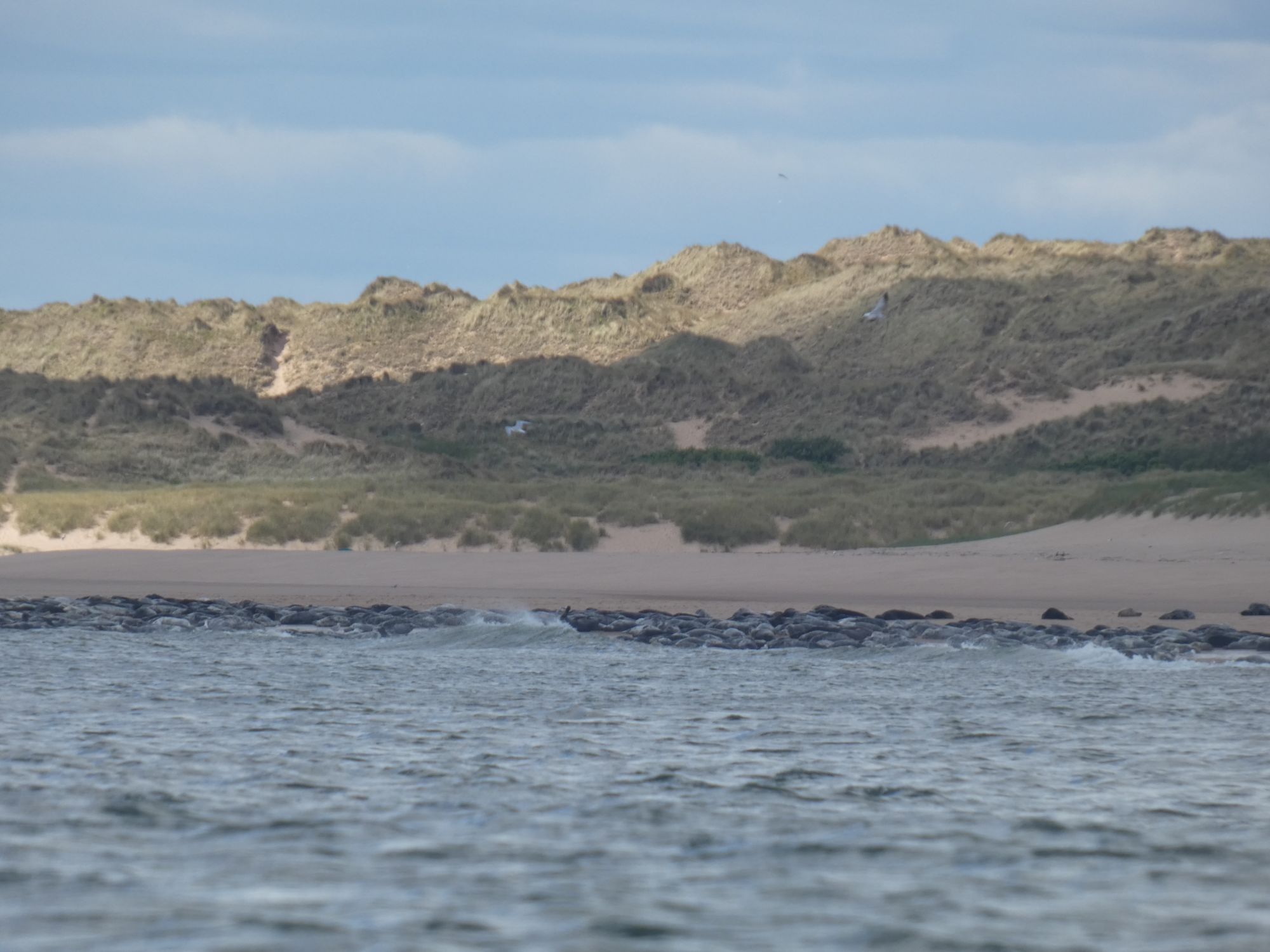
The next 20+ kilometres to Aberdeen was one long stretch of dunes and beach. I kept well clear of the seals at their expected place as it wouldn’t do to initiate a mass exodus. Seals are often curious about kayaks when in the water, but see them as a threat when resting ashore. More so than with other larger boats. I’m not sure if my paddle, one that takes inspiration from the Inuit original, would also add to their unease. Over the next few kilometres, I heard the frequent splashes of seals behind me as they approached close and then darted away underwater.
The large seal colony at Newburgh Bar
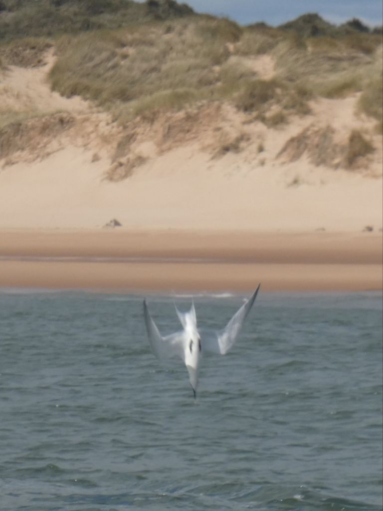
The feeding terns kept me entertained as I paddled south. Their aerobatic flight as they search for small fish just below the water surface culminates in a sudden dive and splash. I know better than to attempt to capture the action with my camera, but eventually, they enticed me into giving it a go.
A fishing tern. Just before impact.
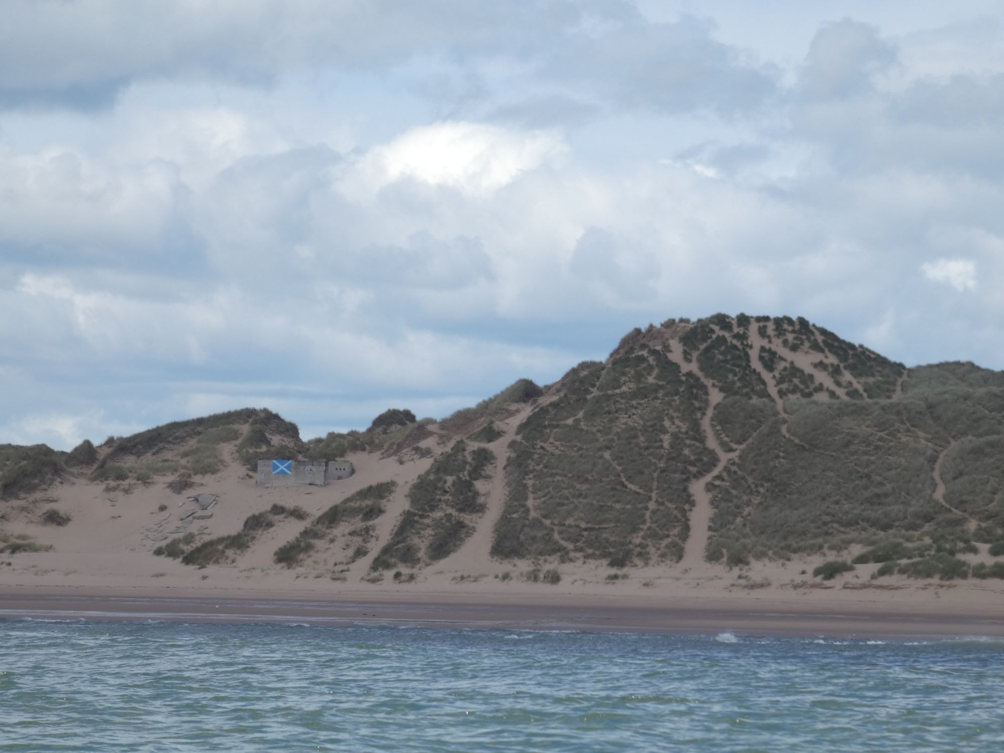
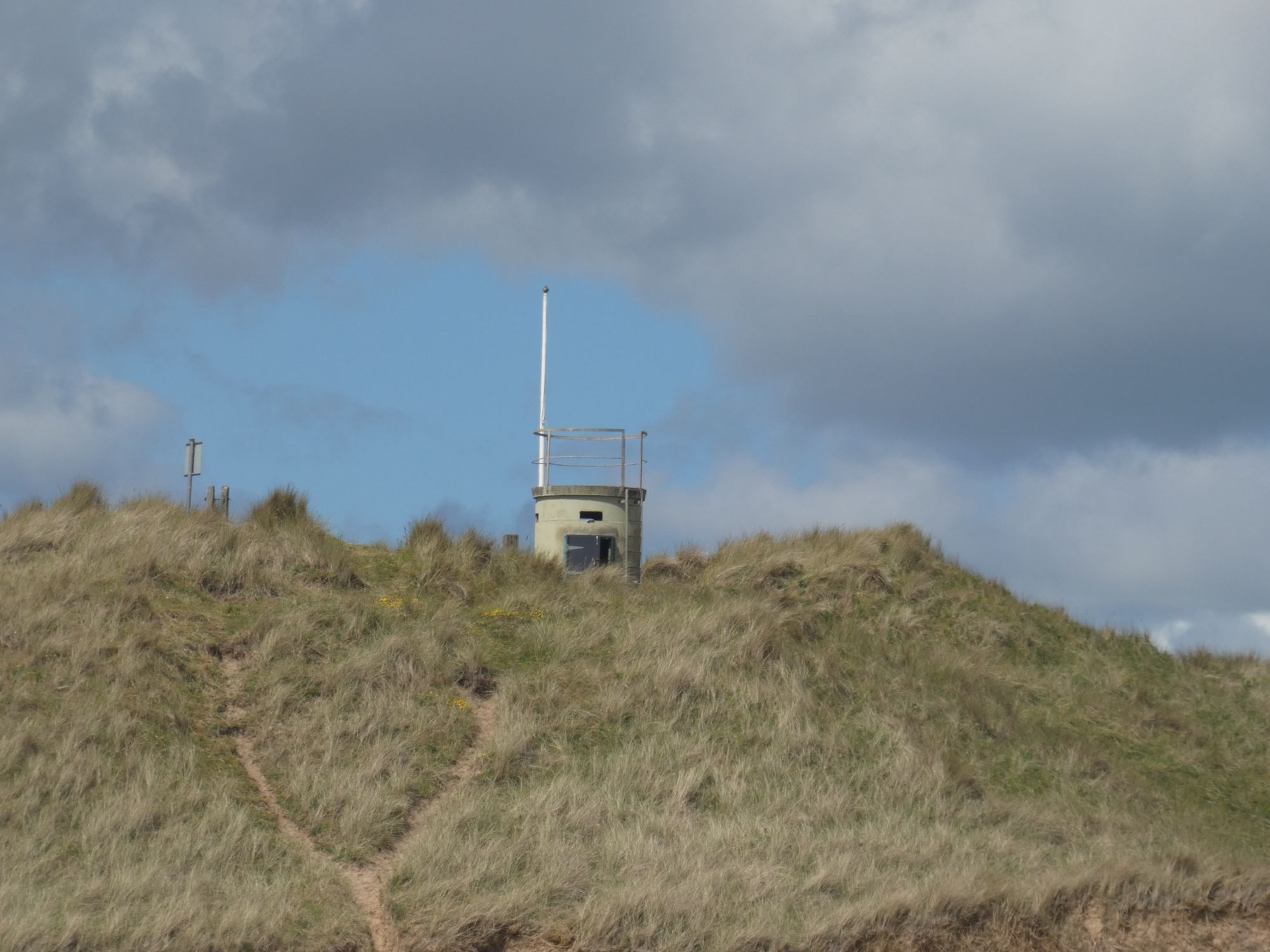
There was only infrequent human activity on the beach, but I kept an eye out for things of interest. Many WWII era concrete bunkers and buildings litter the beaches of Scotland’s east coast, and here was no exception. They were presumably first erected on the tops of the dunes but now often lie at strange angles on the beach itself.
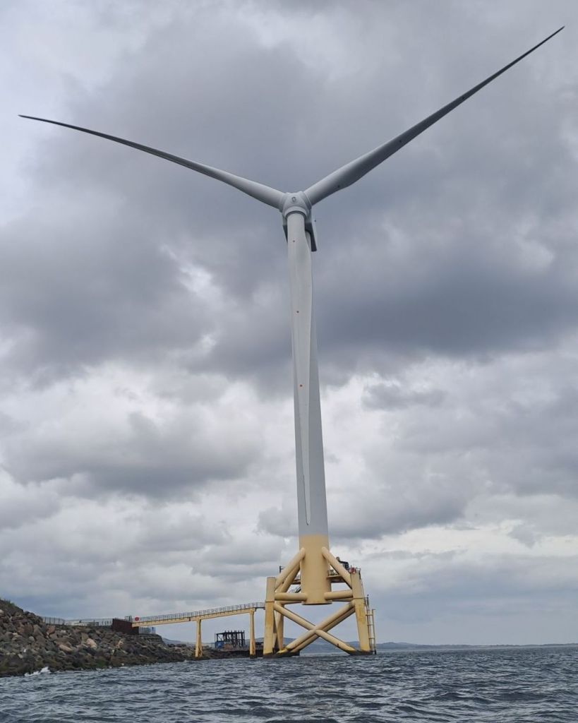
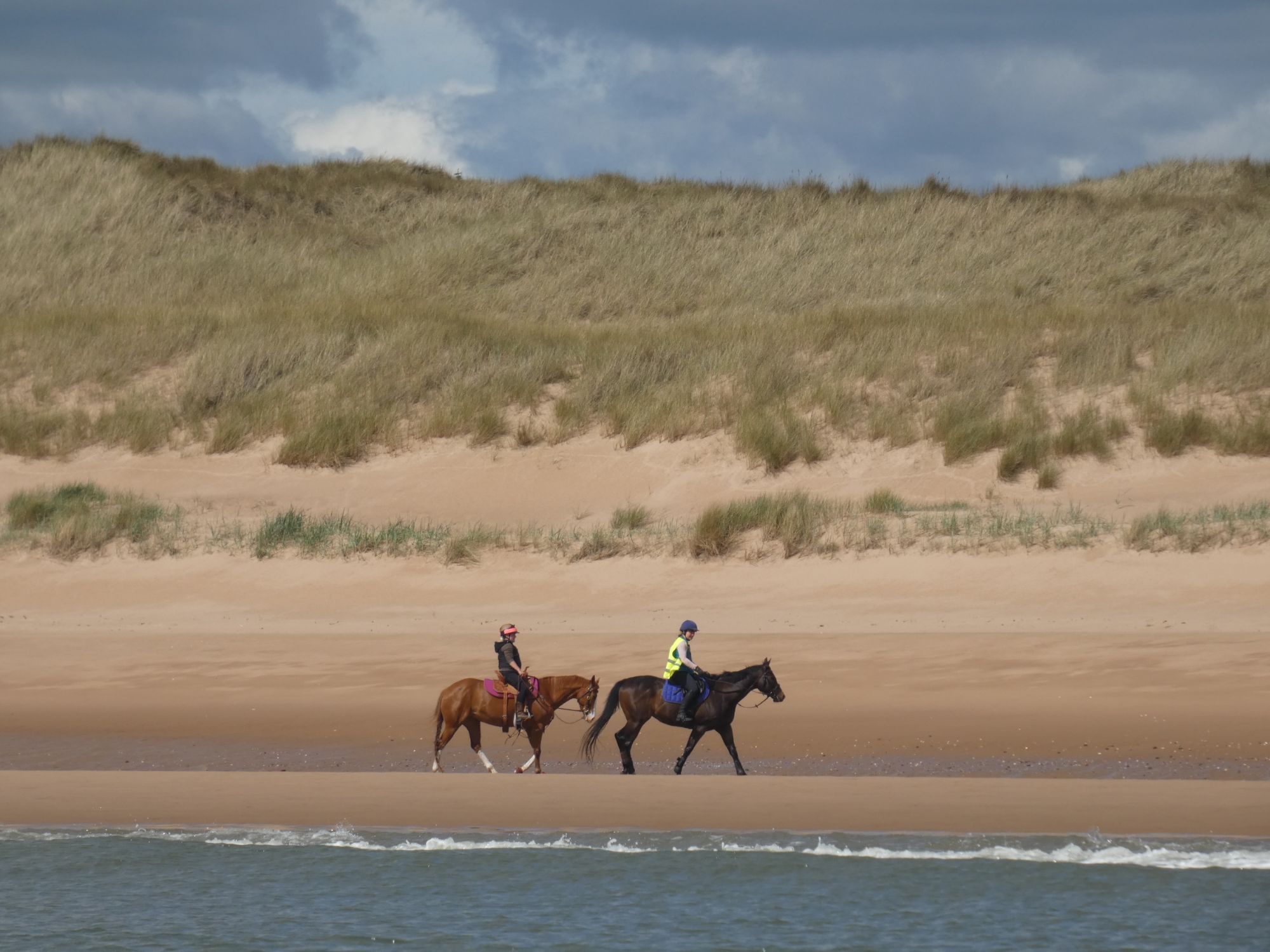
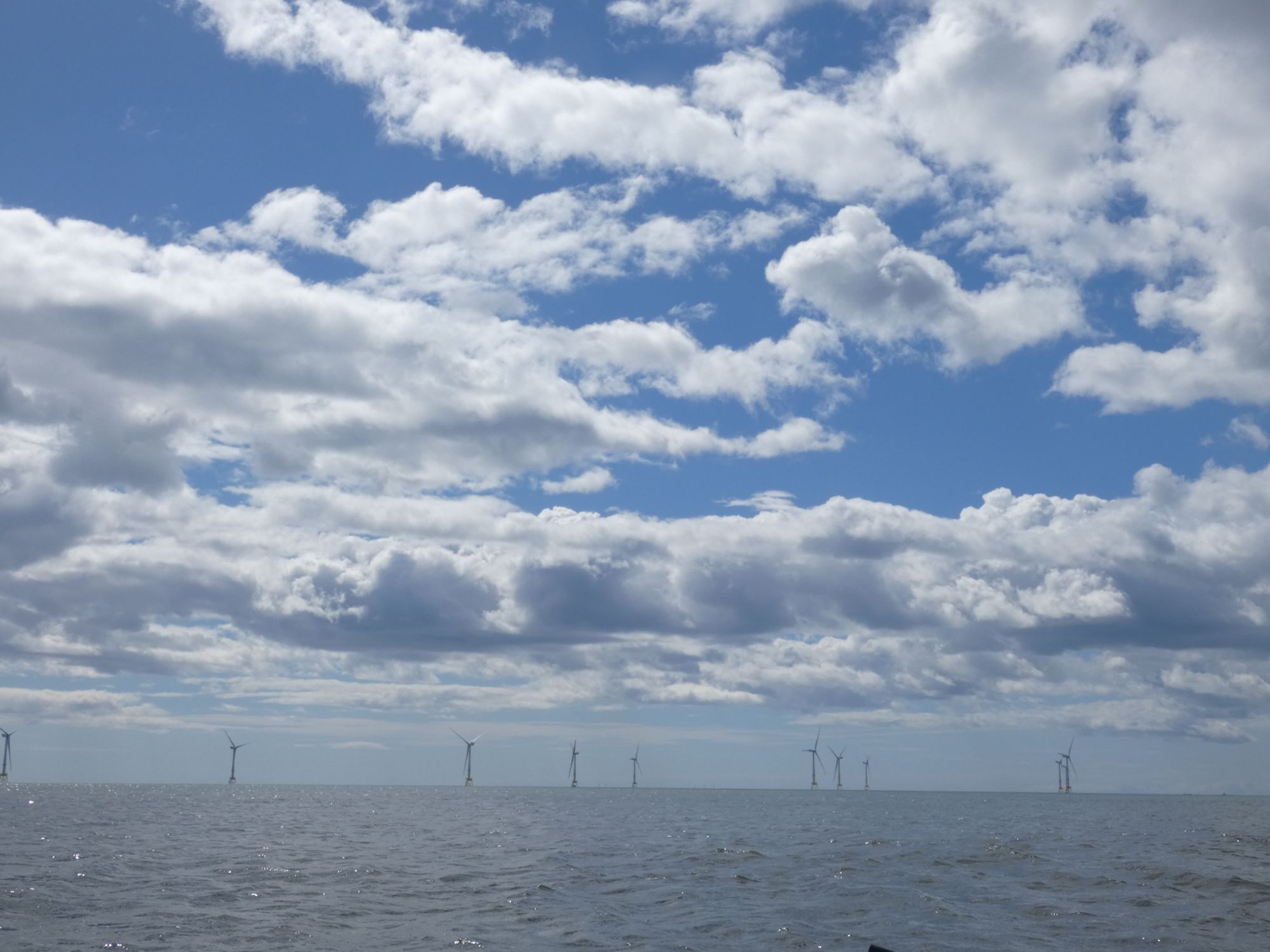
A patriotic bunker and large duneIs there less of Scotland to defend than there was back then?A morning stroll for the horsesBlackdog rifle ranges. No red flag. Safe to proceed.Aberdeen Bay Wind FarmWhere the Don meets the seaLunch by the Bridge of Don
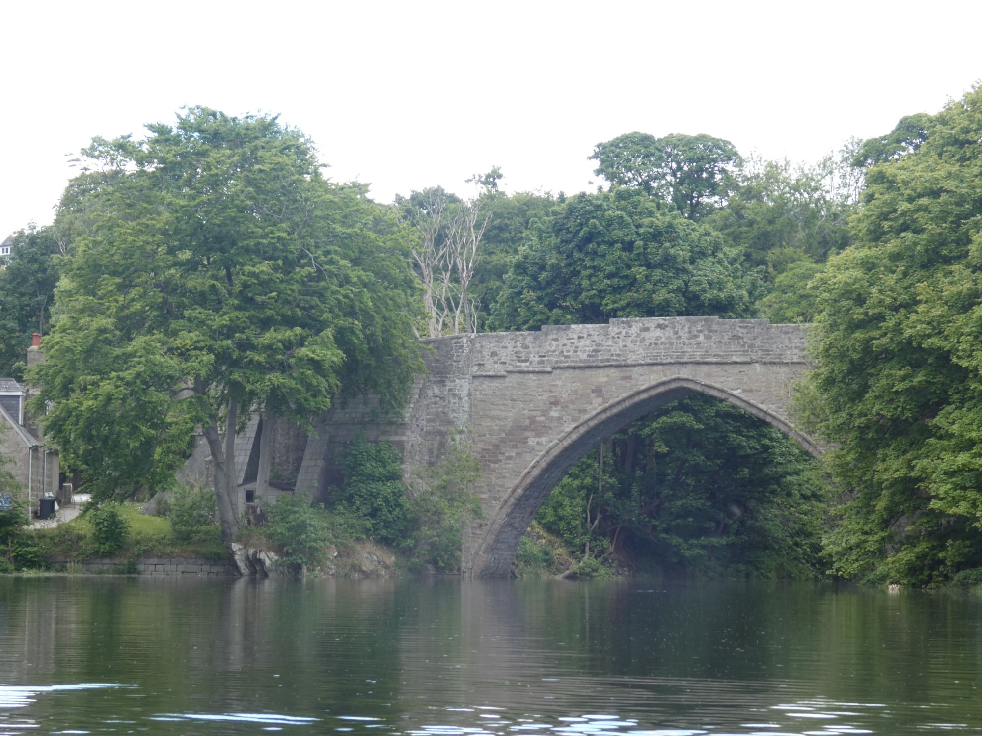
As there was a small dumping surf all along this coast, I took the opportunity to enter the mouth of the river Don and seek a surf free exit for my lunch break. A man out on his regular dog walk persuaded me that a short detour further up the river to Scotland’s oldest bridge was well worth the effort. It was.
Arch your back to stay grounded as the tide risesBrig o’ Balgownie
I had phoned Aberdeen VTS yesterday to check on protocol for kayaks passing the harbour. In general, yachts and other small vessels are supposed to stay clear of a 2 nautical mile zone around the harbour entrance, but for kayaks, this would be dangerous and impractical. They were very helpful and just requested that I contact them on VHF ch12 as I approached close to the harbour entrance.
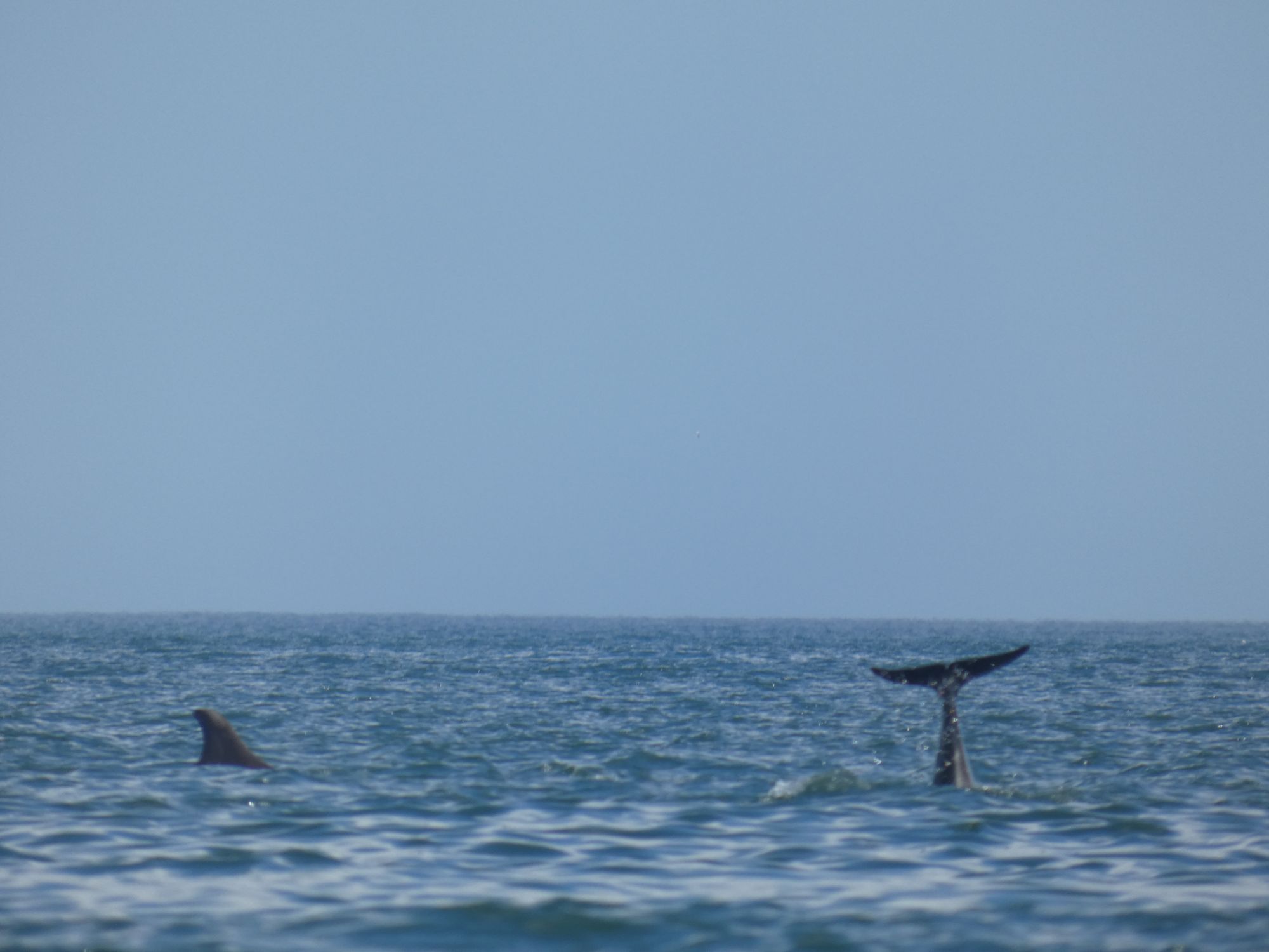
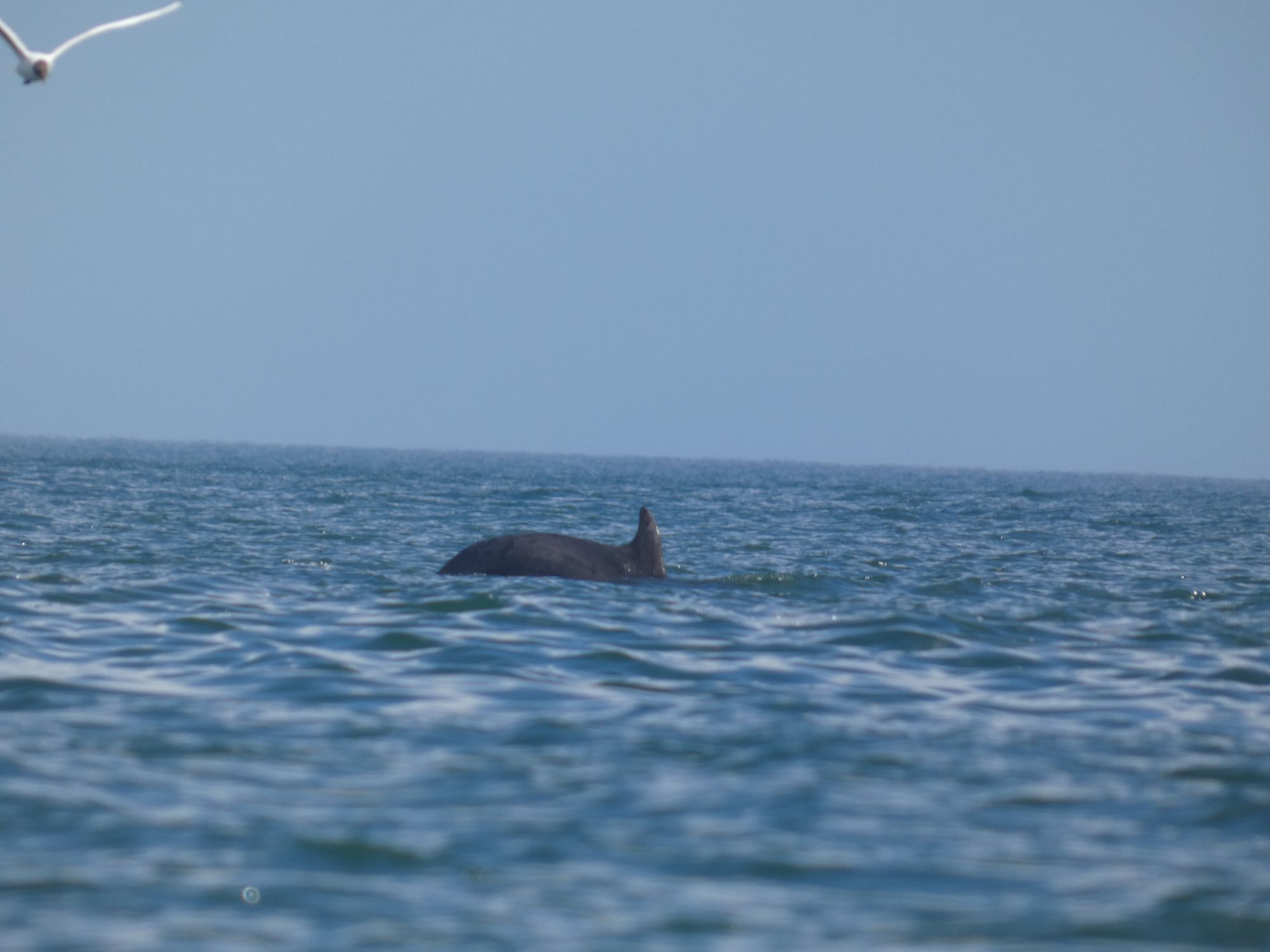
On my approach, I was aware that a vessel was coming out and that another was preparing for a tug assisted entry soon after, so my window of opportunity between the two was short. It meant that I couldn’t hang around long to watch the small pod of dolphin next to the harbour entrance.
A fin, a taila back
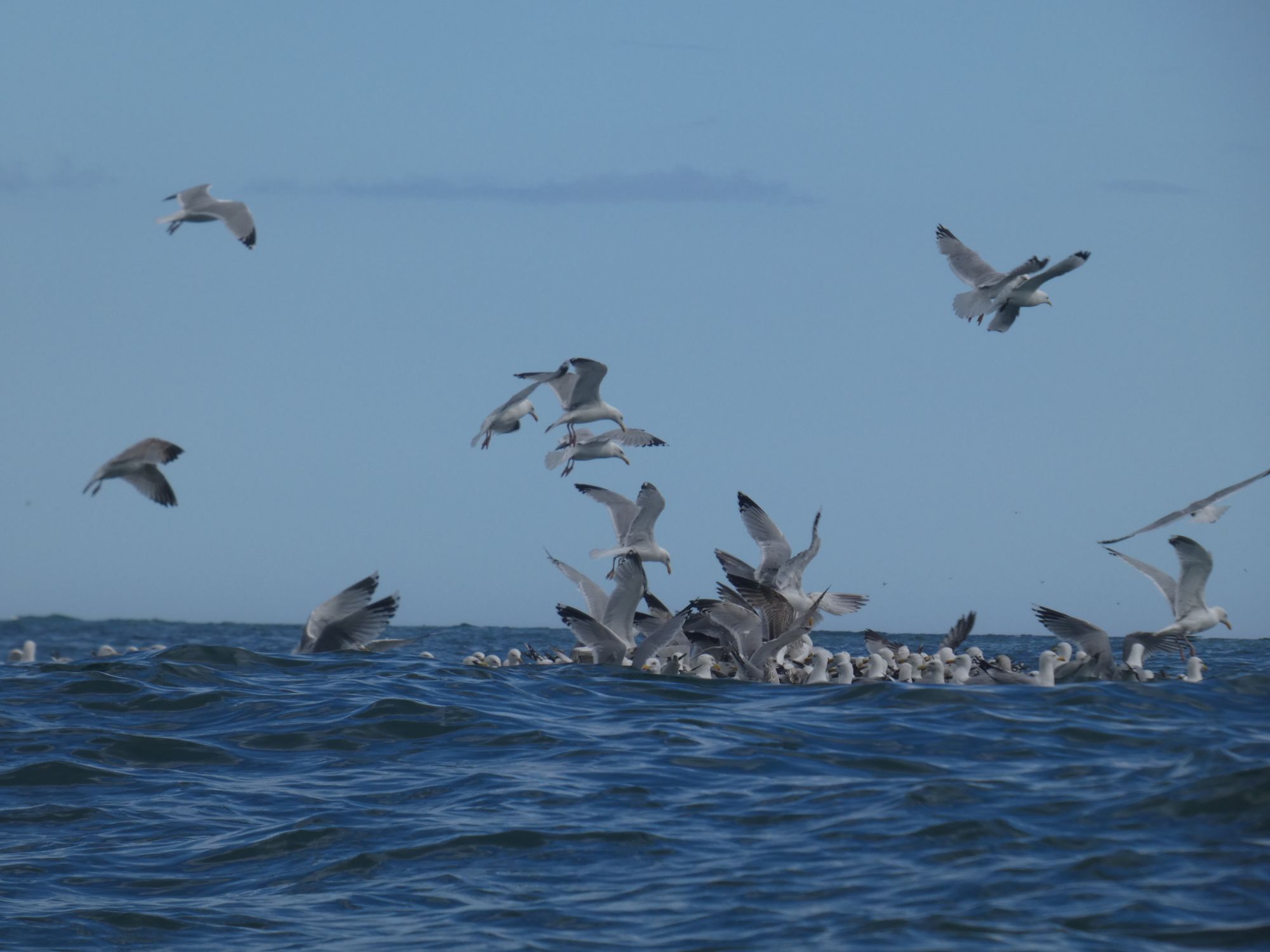
After the harbour, Girdle Ness, and the Nigg Bay construction facility, it was just a short paddle down to my destination at Cove Bay Harbour. The bay to the north of the harbour was full of birds and caves. I took a short time to explore but was ready to be off the water by this time.
Gulls on the waterKittiwakesGuillemots
I set up camp and then went in search of sustenance. I found it close by at the Cove Bay Hotel.