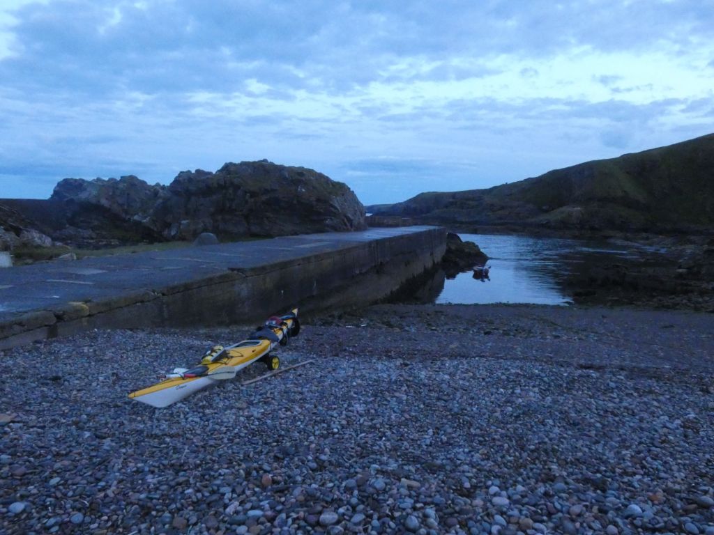
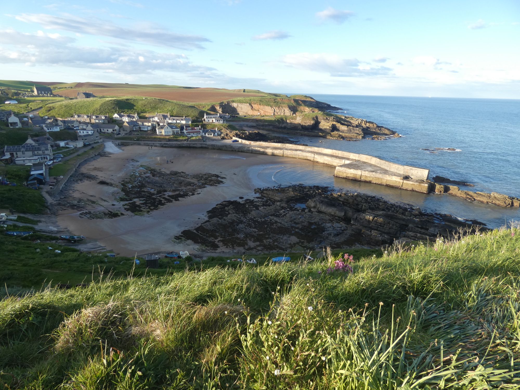
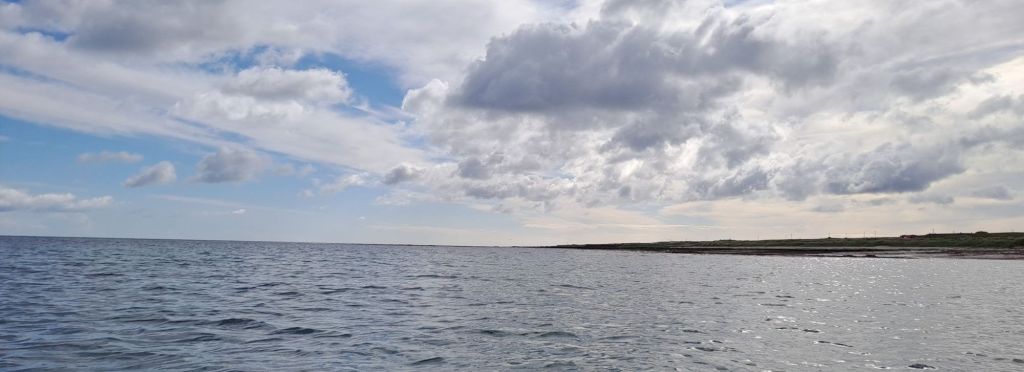
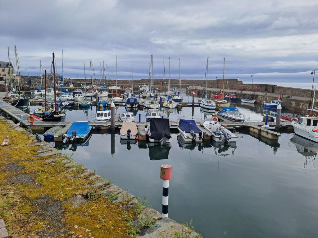
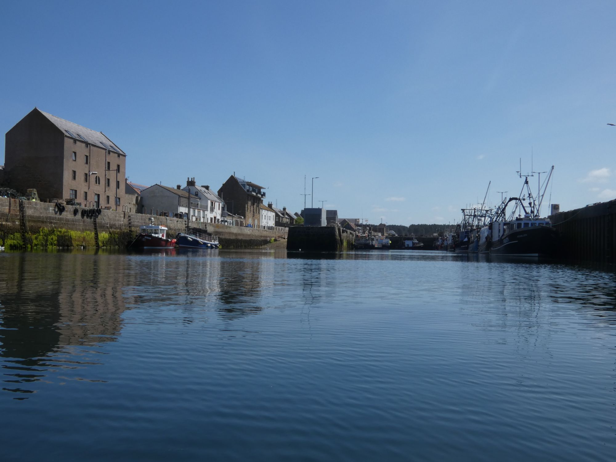
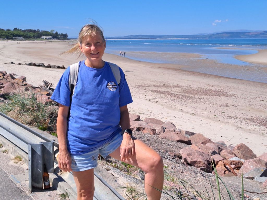
When I returned to my campsite after dinner in the Cove Bay Hotel yesterday evening, there was still a little light left and it was calm on the water.
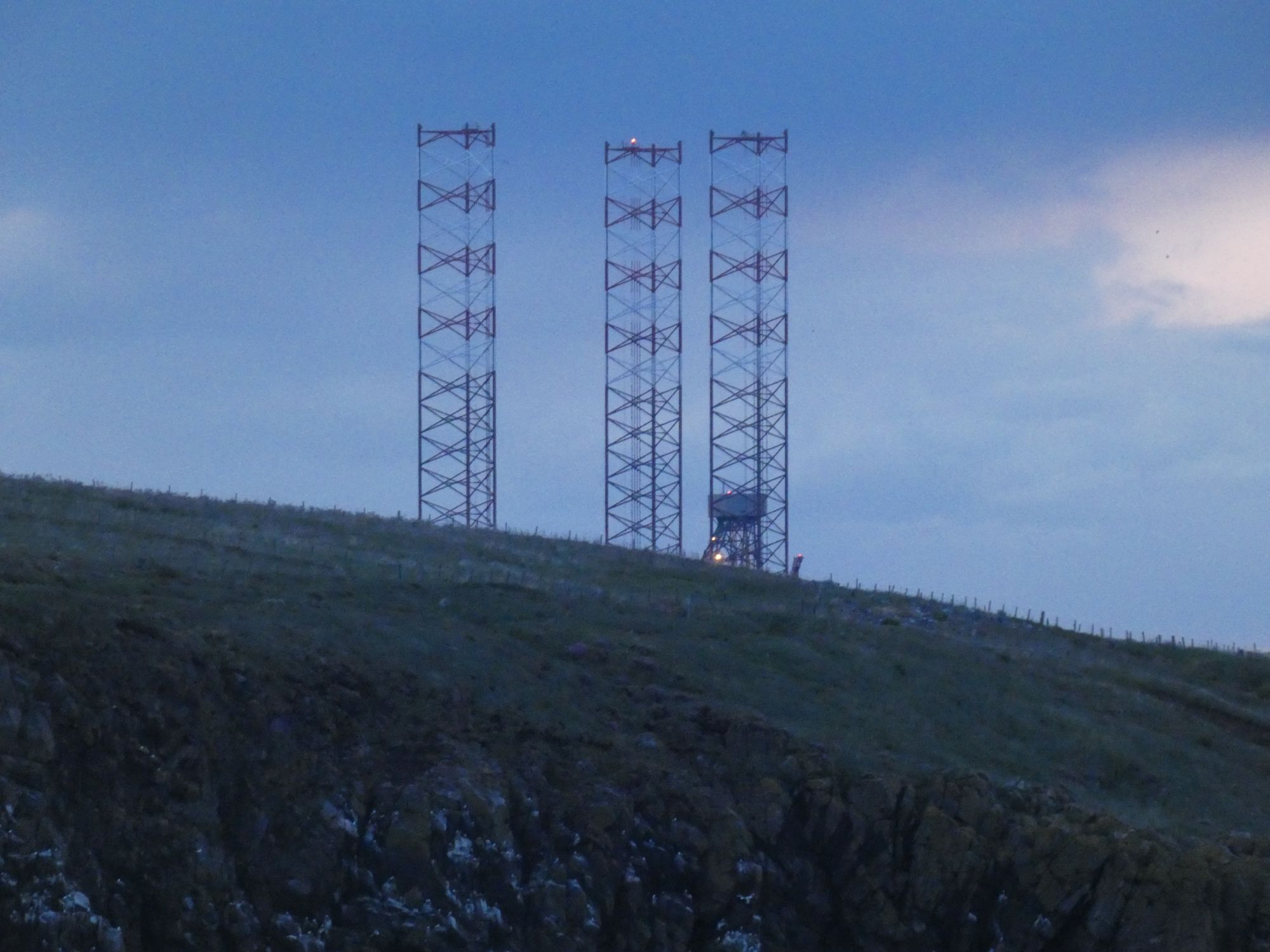
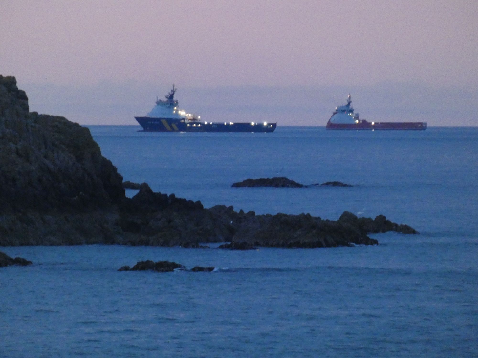
A calm Cove Bay HarbourThe tops of the platform legs currently at the Nigg Bay siteSupply vessels standing off from Aberdeen Harbour
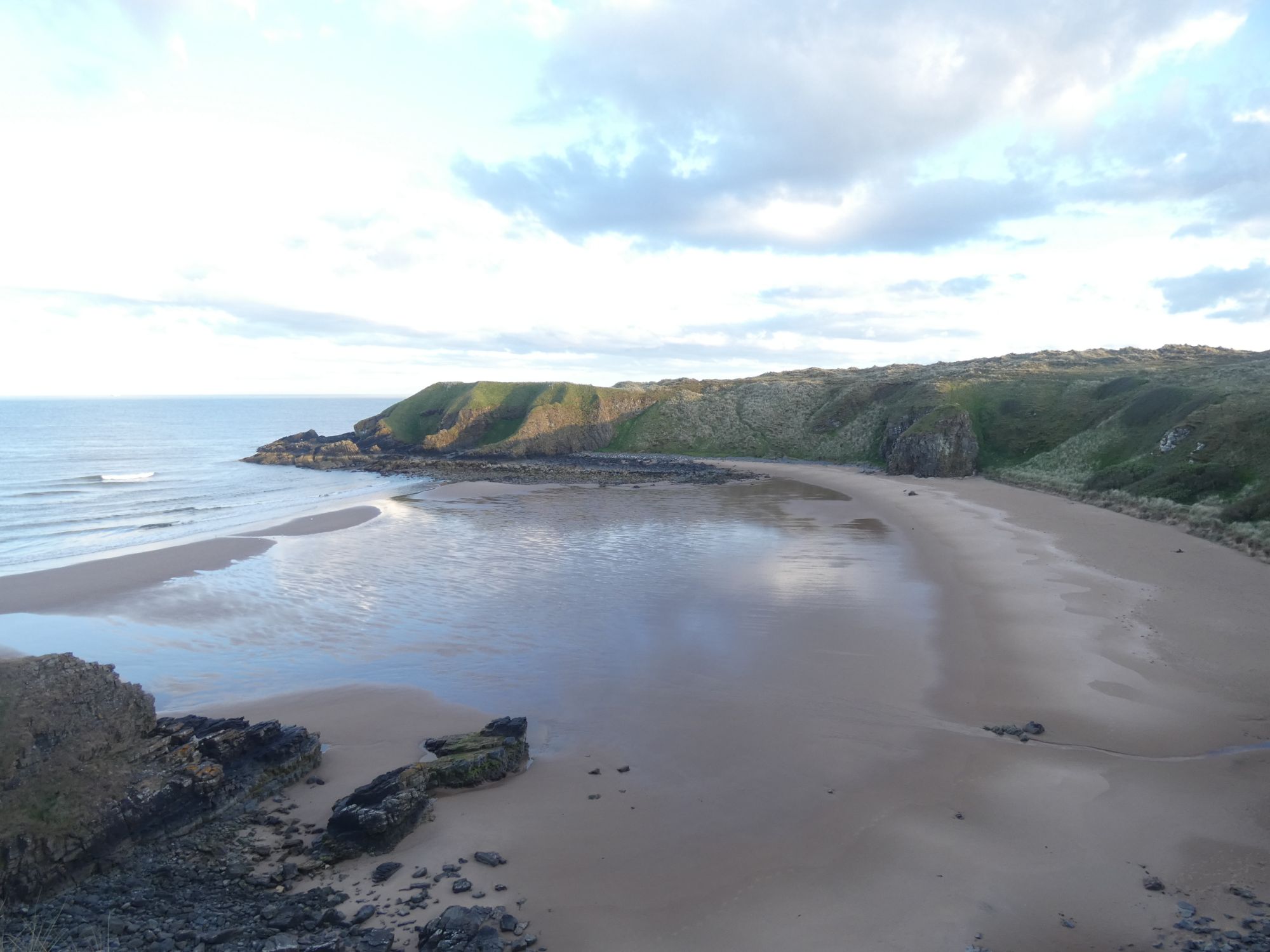
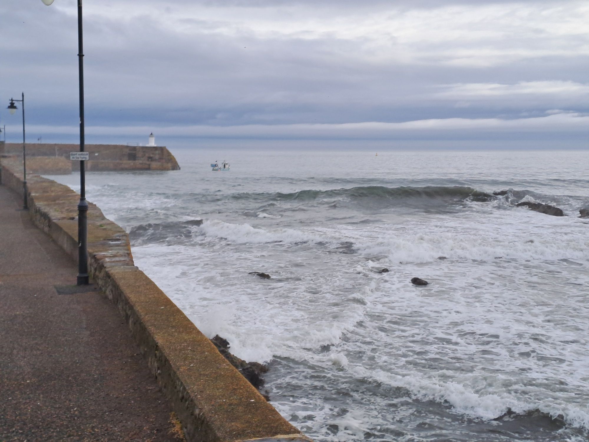
When I awoke this morning, I went through my normal routine of getting everything inside the tent ready to be packed into the kayak. It wasn’t until I left the tent that I realised I was sheltered from the worst of the southeasterley wind by the harbour wall. There would be no paddling today. It was blowing a steady F5 with gusts considerably stronger, and the rain appeared to be settling in for the day.
Taken later in the day when the rain had finally cleared
Joyce, who I’d shared an evening meal with a couple of days ago, was still monitoring my progress. When she saw the weather conditions today, she got in touch to say that her friend, Jim, lived on the road above the harbour. He kindly invited me in when the rain was at its worst, and I continued my education on the lives of east coast fishermen over a cup of tea and scone. He had pictures on his wall of him as a lad with his father in a small boat holding up huge cod fish. The days of catching cod close to the local shores are now past.
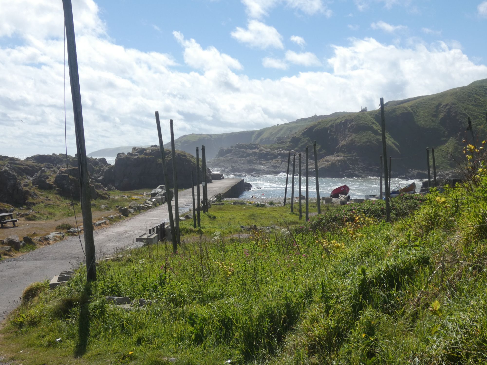
Other conversations at the harbour with an old fisherman and Stephen (whose daughter is also an Edinburgh based sea kayaker) served to further highlight how fishing has changed here over the last fifty years. No longer can salmon be caught in nets in their thousands as they migrate north along the coast to their river spawning grounds.
The, now unused, salmon net drying posts
The rain was mostly over by noon, but the winds remained high. I chose to pack up my campsite while it was dry and move to a local hotel room for the night. I did a short coastal walk and felt relief that I hadn’t chosen to take my chances out at sea.
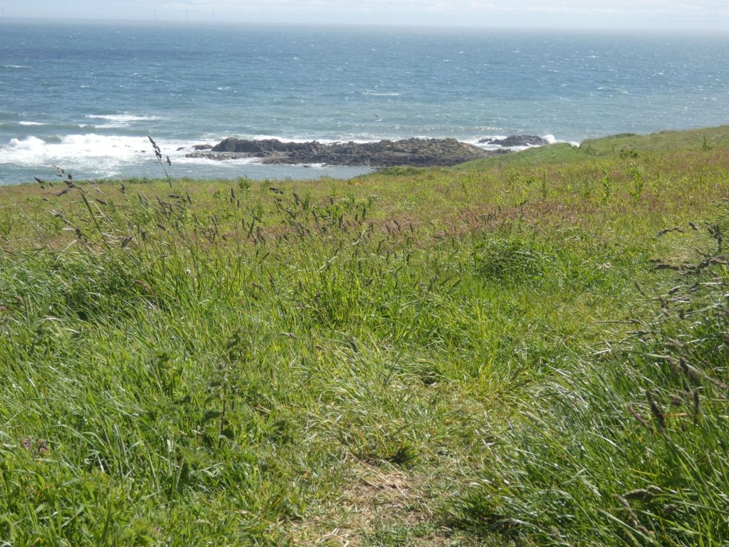
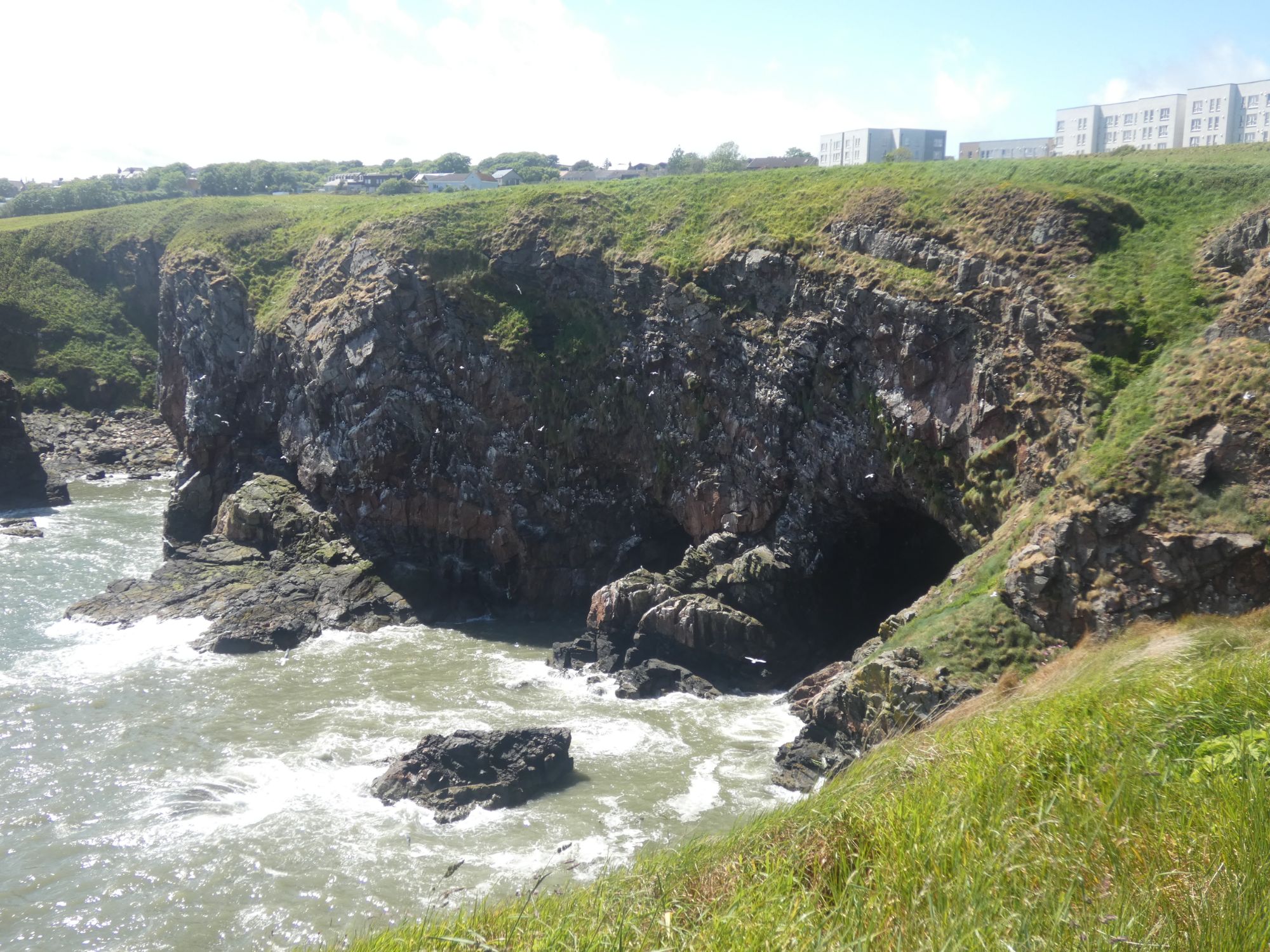
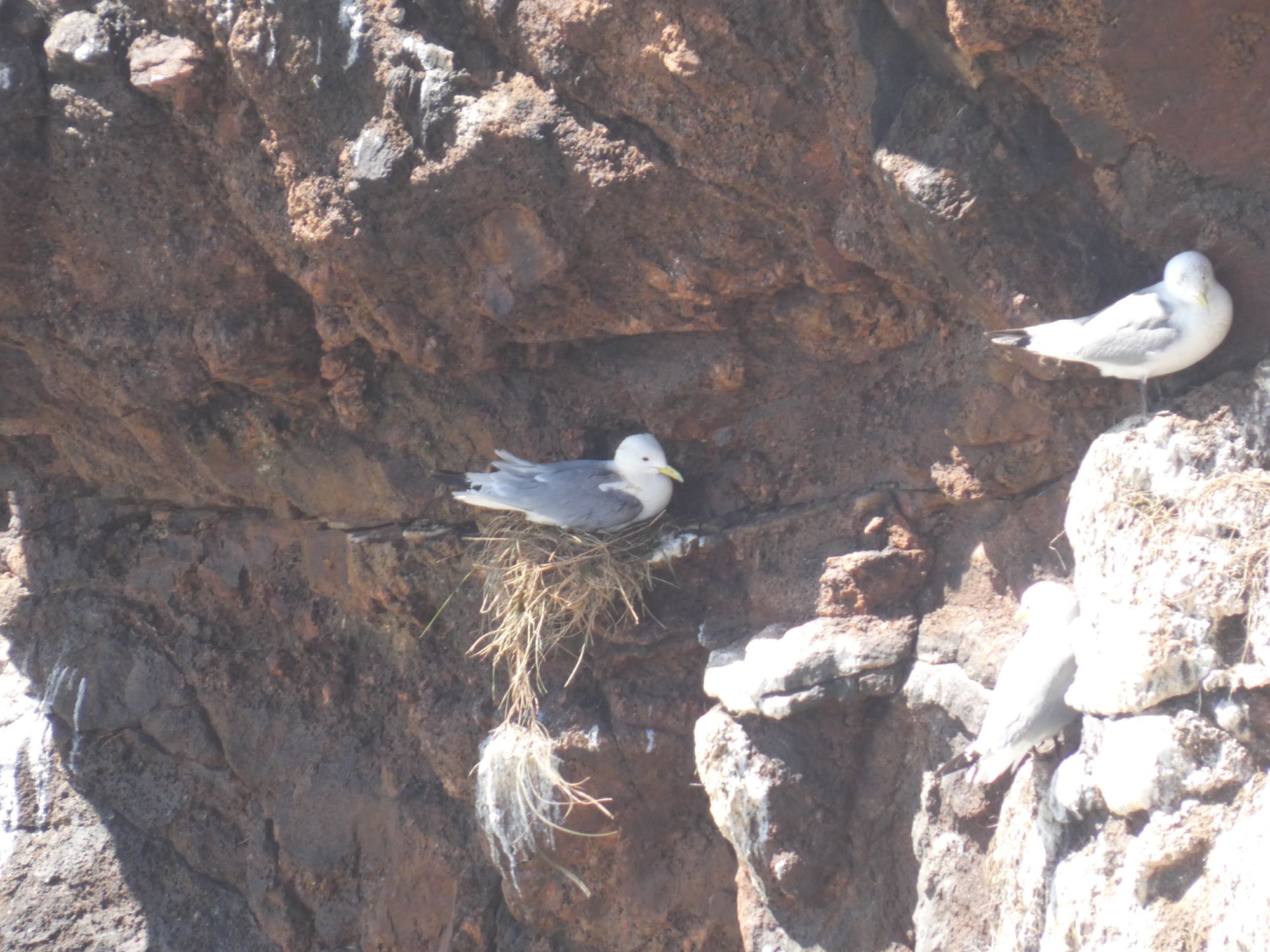
On Aberdeen’s Coastal PathThe vegetation above the cliffsNo paddling into the caves todayHow does the nest survive the winds?
When I checked my Lumix bridge camera this evening, I found the image on the view finder to be distorted and flickering. The rigours of life on a sea kayak may have been too much for it. Or did I knock it when on the coastal walk? Unfortunately, that’s the end of the zoom photography for this trip.
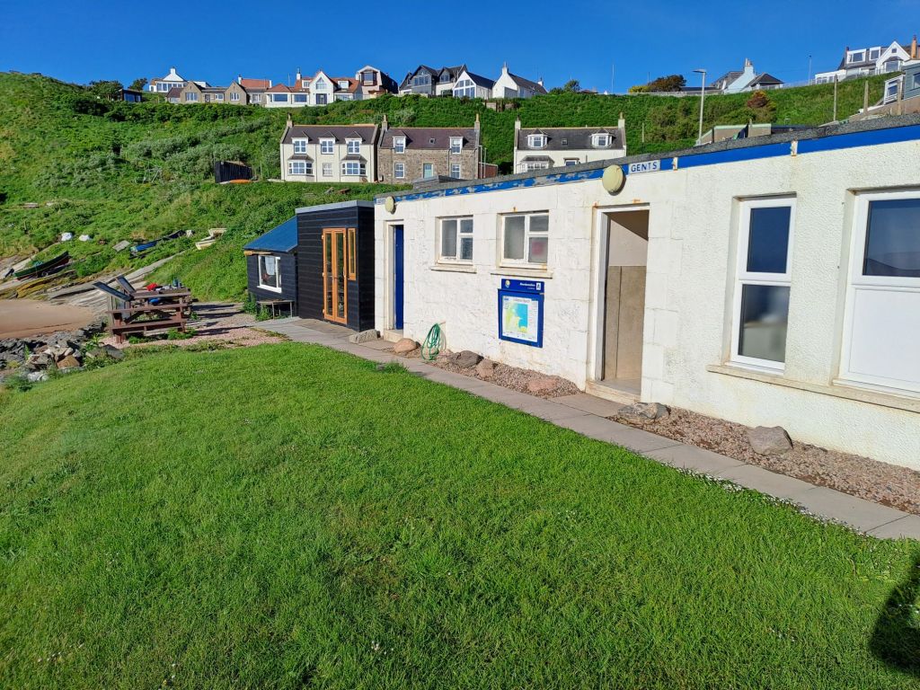
I ate my breakfast at the picnic tables by the coastal rowing hut and planned the day ahead. The rocky shore to the south of Aberdeen had only one definite landing place within a days paddling distance – Cove Bay Harbour. This would, therefore, be my destination.
The coastal rowing hut and very handy toilets
As I prepared my kayak on the beach, Craig, a long-time Collieston resident (but not yet “local”), and his little dog kept me company. He pointed out the house which T. E. Lawrence had rented by the sea and referred to as “the nearest hovel to the high-tide mark.” Apparently, he would ride his motorcycle in the same carefree manner here as he did when he was later fatally injured in an accident in Dorset.
Lawrence of Arabia’s “hovel”Craig snapped me (and his dog) before I left
We discussed the likelihood of me spotting dolphin and orca on my journey south. He also advised me to keep a look out for scotter, a less frequently seen black seabird, and the seal colony at Newburgh Bar.
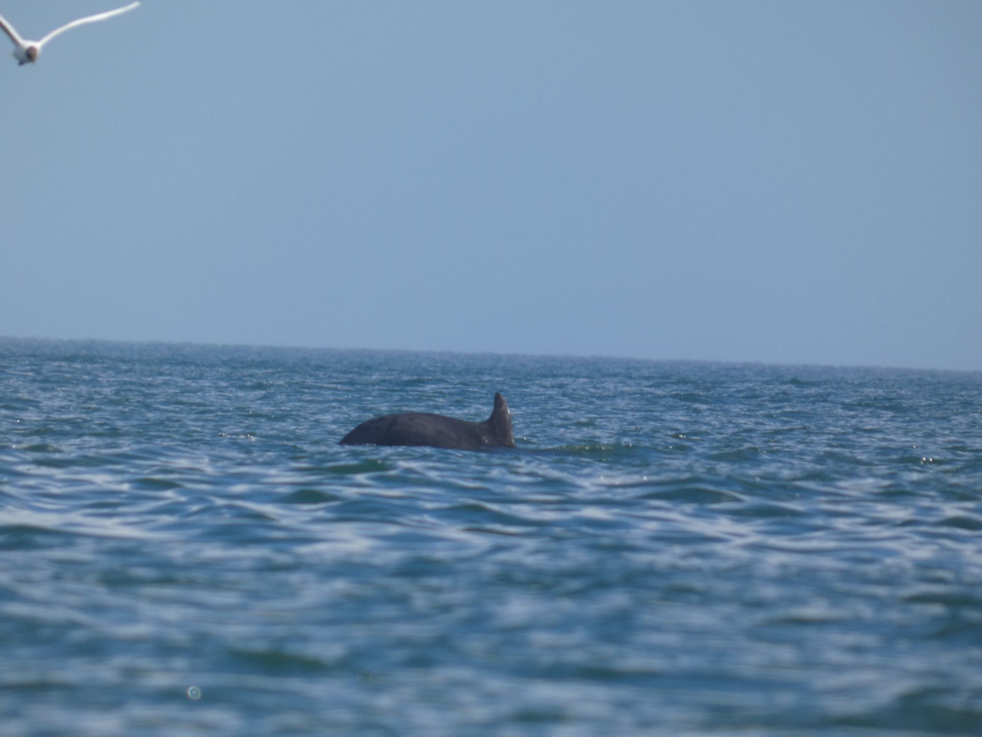
As I left the harbour, I remembered to call the Coastguard, and had phone in hand, rather than camera, when two dolphin swam slowly by.
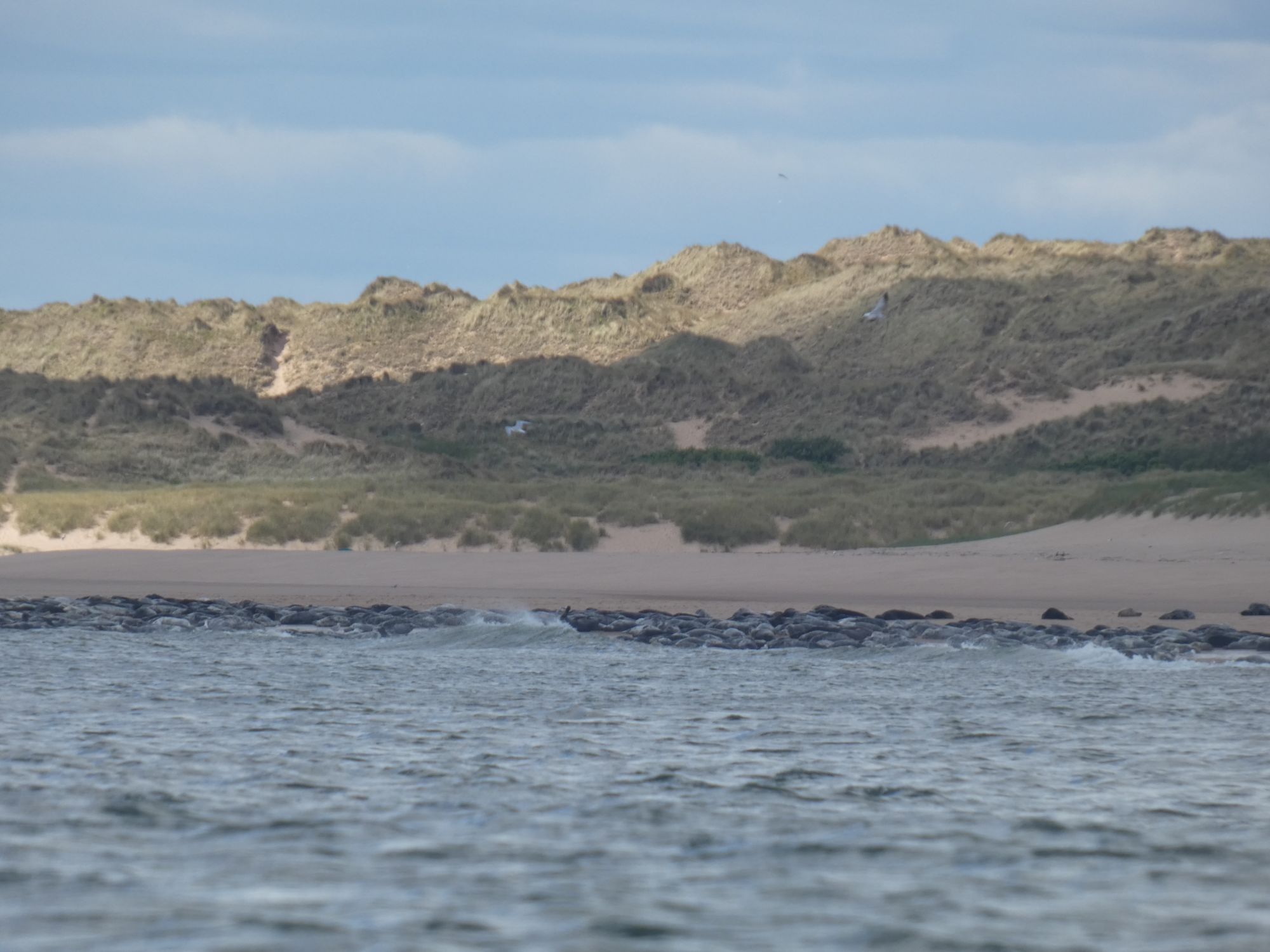
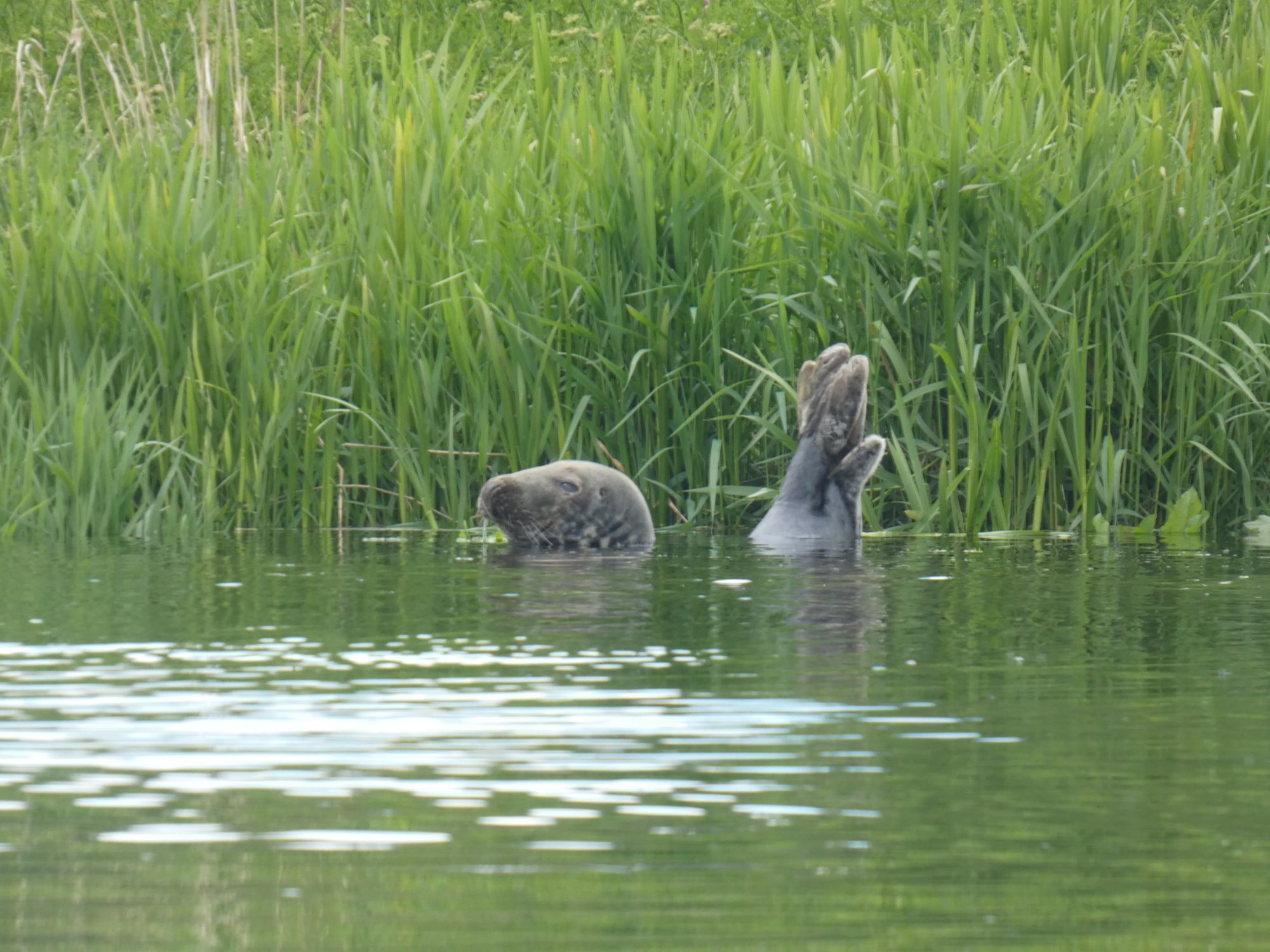
The next 20+ kilometres to Aberdeen was one long stretch of dunes and beach. I kept well clear of the seals at their expected place as it wouldn’t do to initiate a mass exodus. Seals are often curious about kayaks when in the water, but see them as a threat when resting ashore. More so than with other larger boats. I’m not sure if my paddle, one that takes inspiration from the Inuit original, would also add to their unease. Over the next few kilometres, I heard the frequent splashes of seals behind me as they approached close and then darted away underwater.
The large seal colony at Newburgh Bar
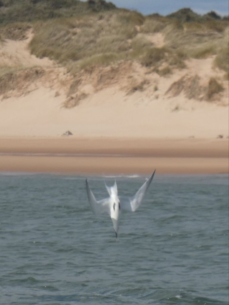
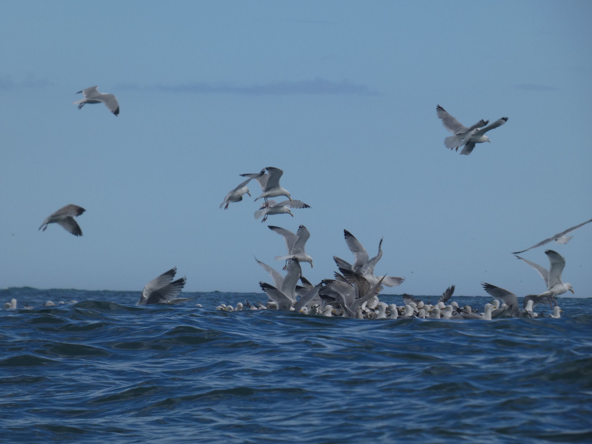
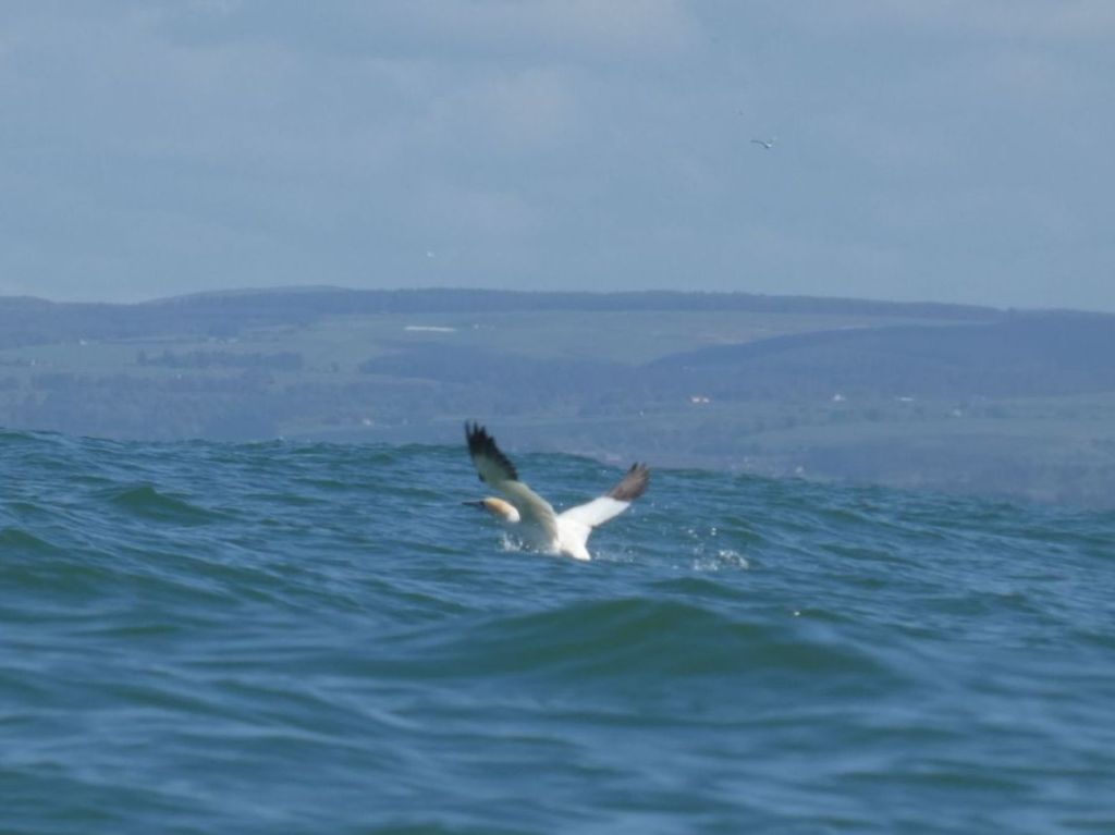
The feeding terns kept me entertained as I paddled south. Their aerobatic flight as they search for small fish just below the water surface culminates in a sudden dive and splash. I know better than to attempt to capture the action with my camera, but eventually, they enticed me into giving it a go.
A fishing tern. Just before impact.
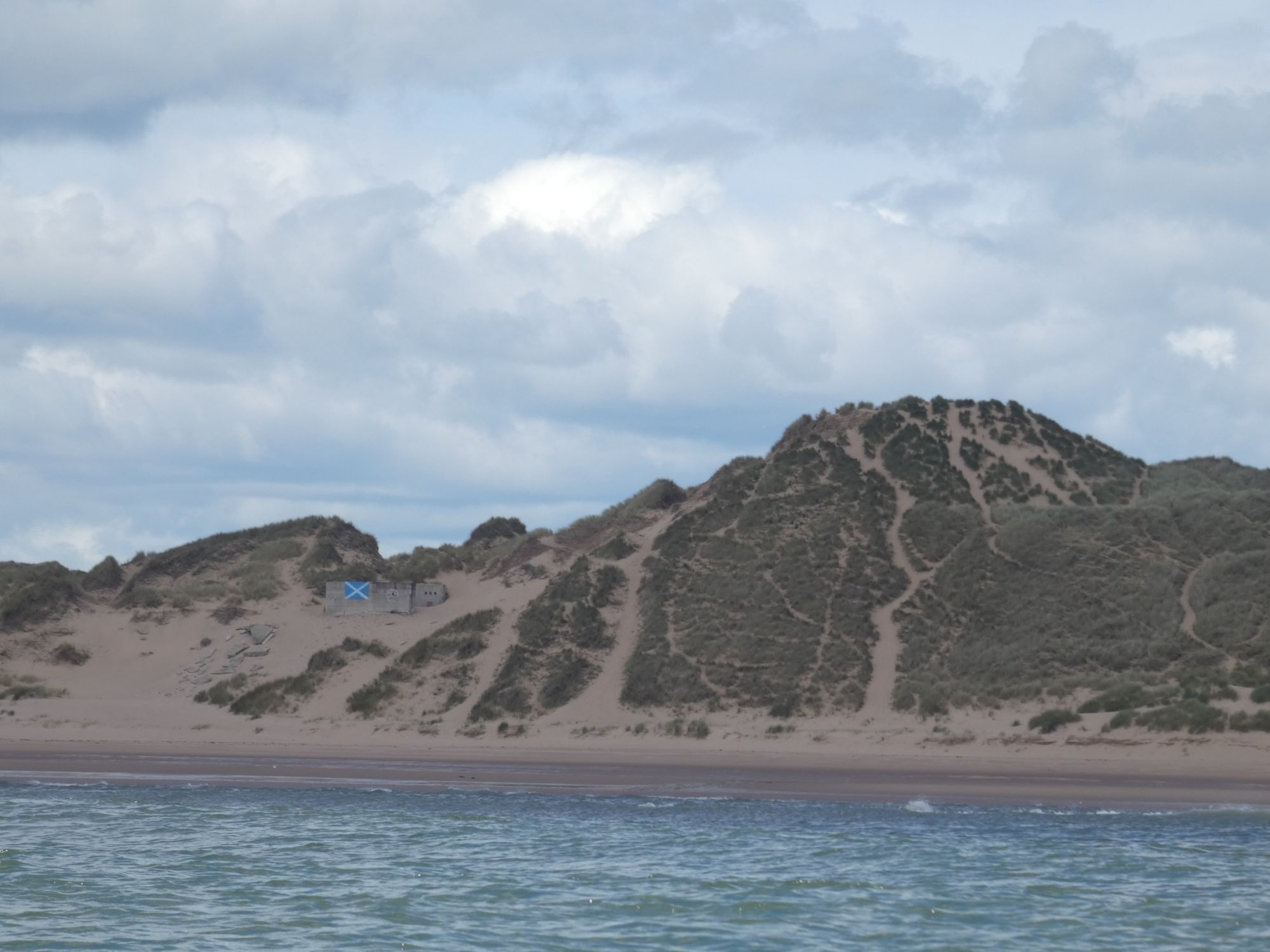
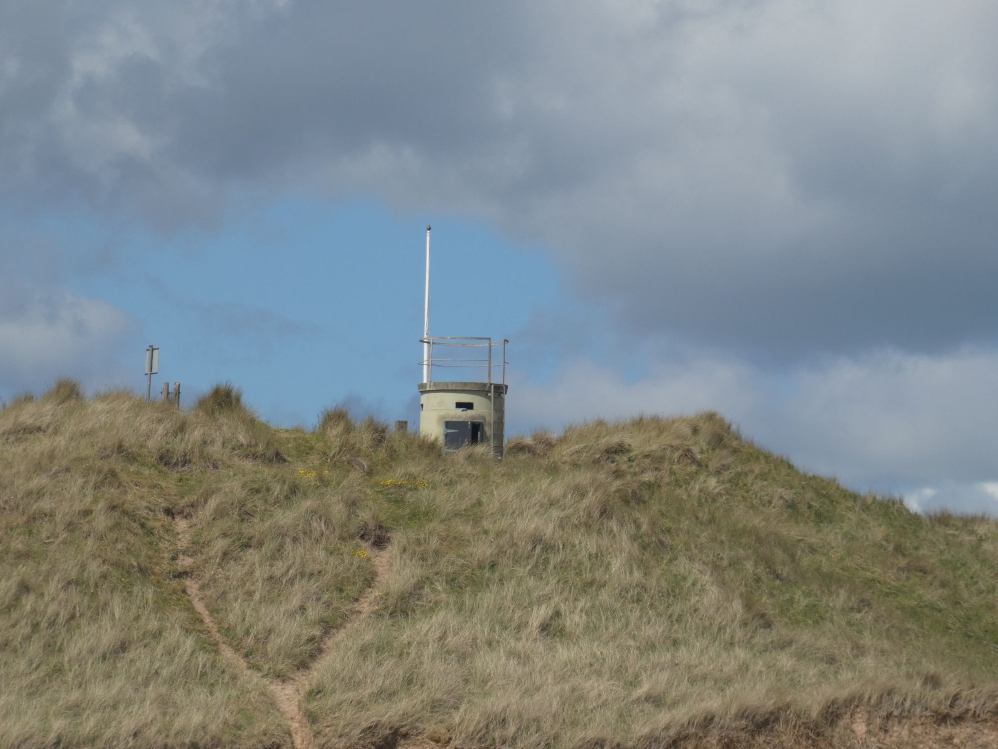
There was only infrequent human activity on the beach, but I kept an eye out for things of interest. Many WWII era concrete bunkers and buildings litter the beaches of Scotland’s east coast, and here was no exception. They were presumably first erected on the tops of the dunes but now often lie at strange angles on the beach itself.
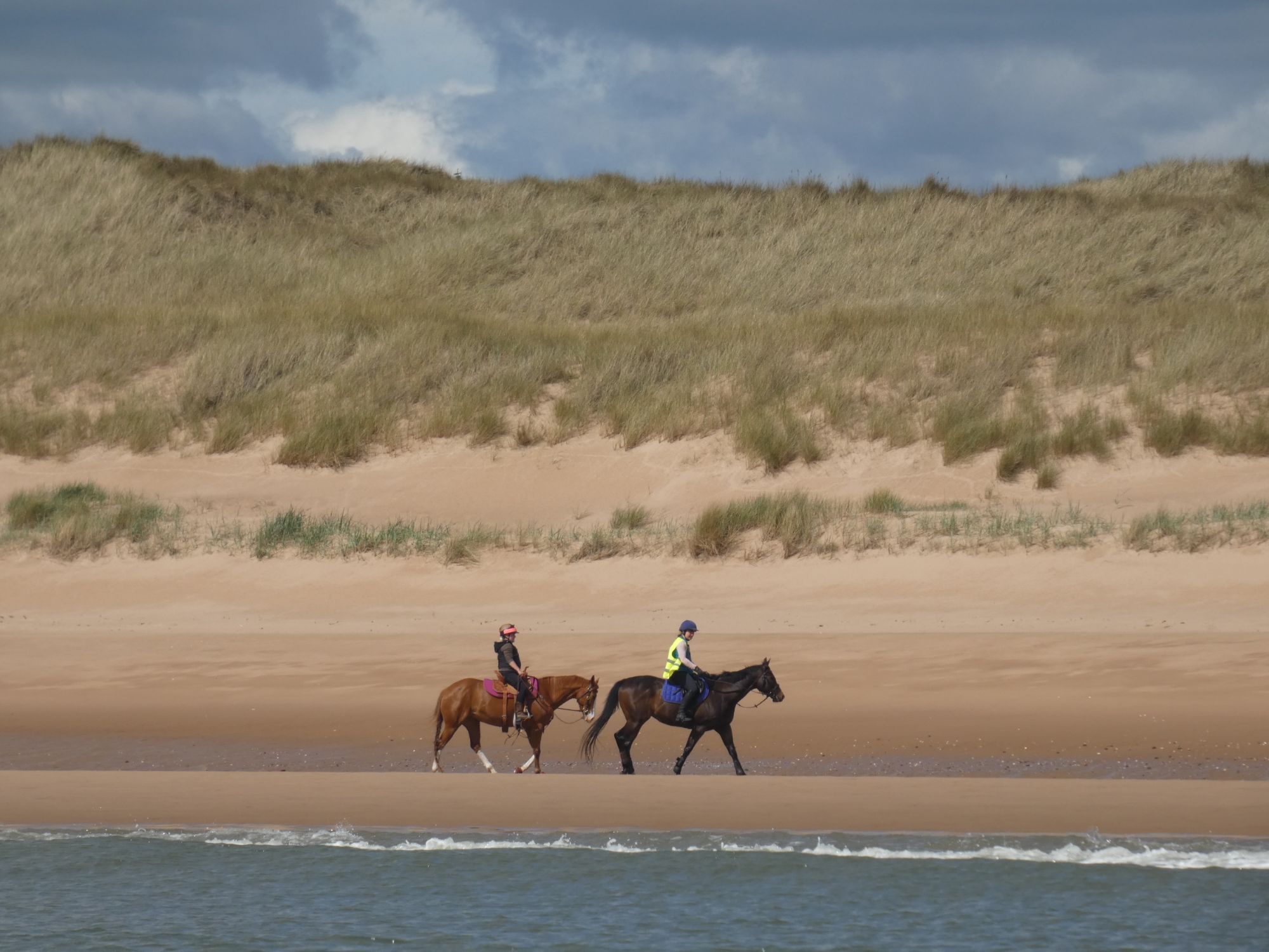
A patriotic bunker and large duneIs there less of Scotland to defend than there was back then?A morning stroll for the horsesBlackdog rifle ranges. No red flag. Safe to proceed.Aberdeen Bay Wind FarmWhere the Don meets the seaLunch by the Bridge of Don
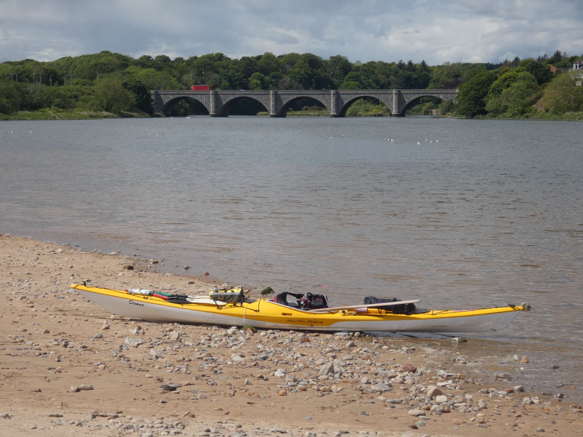
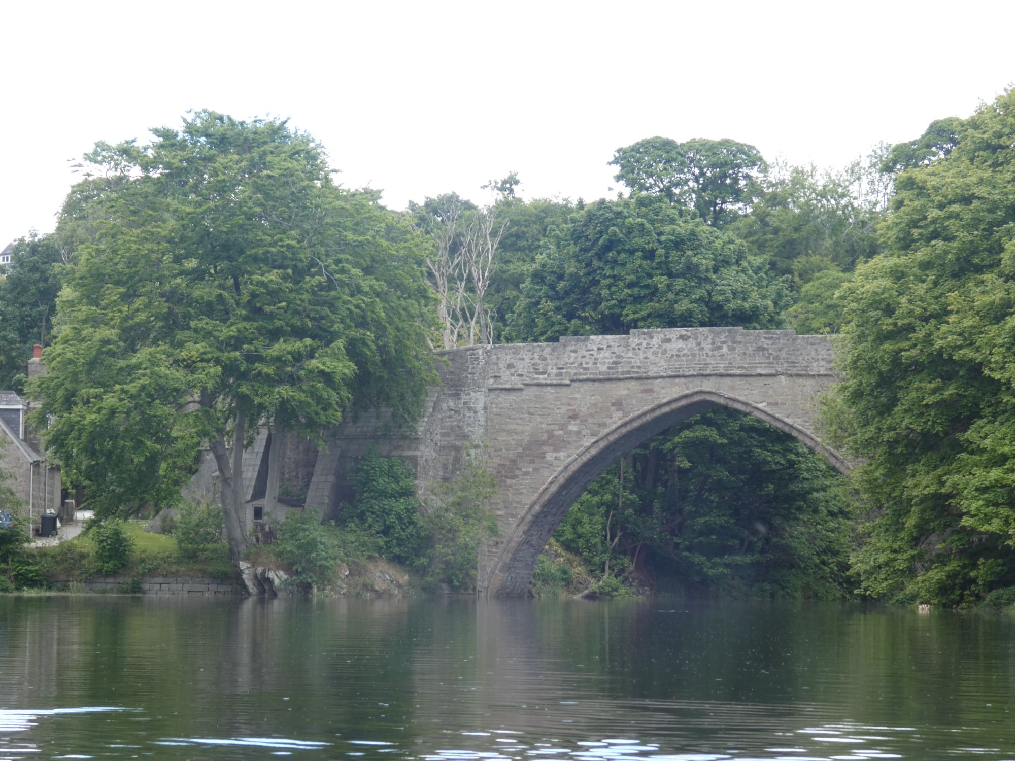
As there was a small dumping surf all along this coast, I took the opportunity to enter the mouth of the river Don and seek a surf free exit for my lunch break. A man out on his regular dog walk persuaded me that a short detour further up the river to Scotland’s oldest bridge was well worth the effort. It was.
Arch your back to stay grounded as the tide risesBrig o’ Balgownie
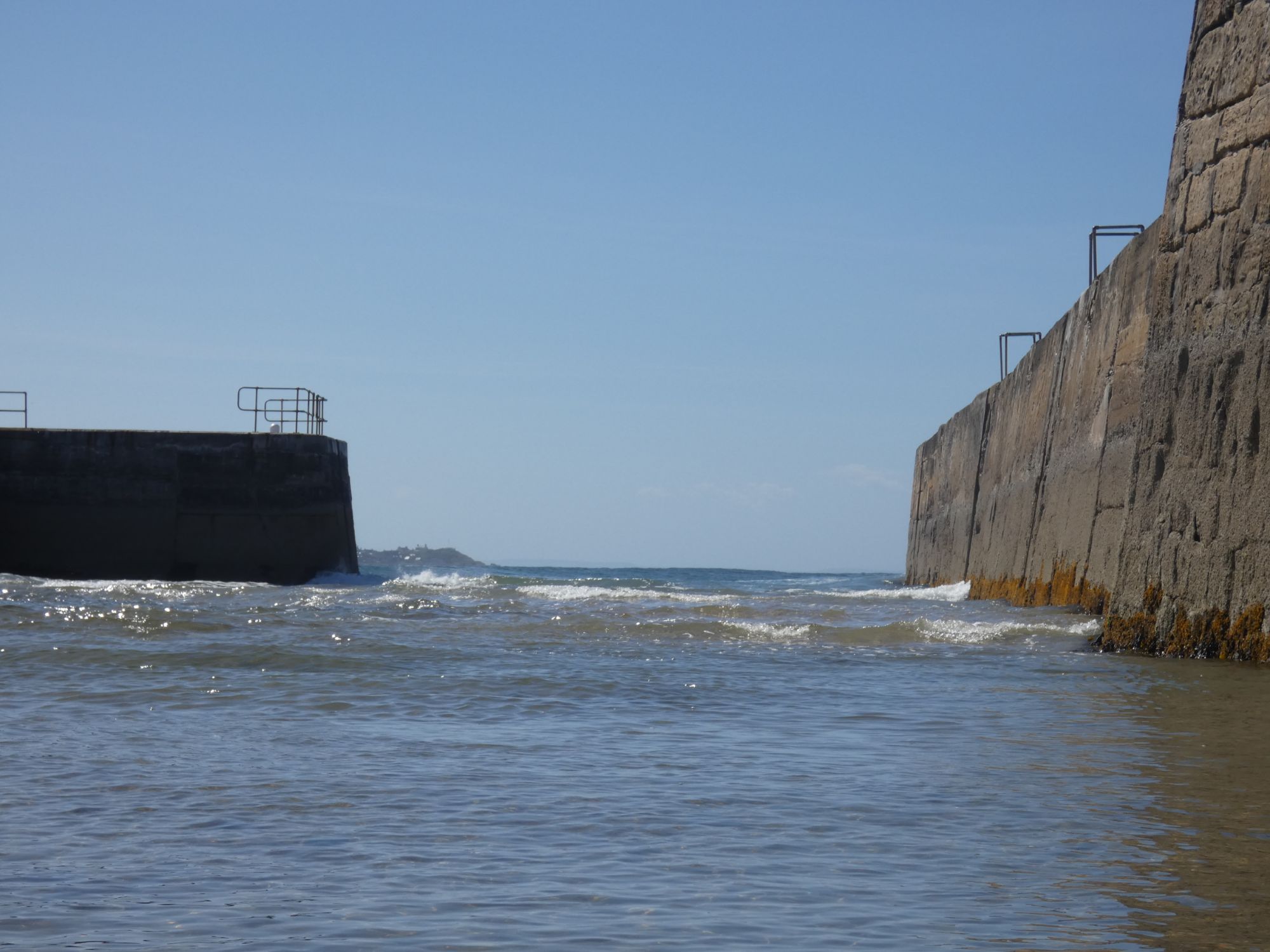
I had phoned Aberdeen VTS yesterday to check on protocol for kayaks passing the harbour. In general, yachts and other small vessels are supposed to stay clear of a 2 nautical mile zone around the harbour entrance, but for kayaks, this would be dangerous and impractical. They were very helpful and just requested that I contact them on VHF ch12 as I approached close to the harbour entrance.
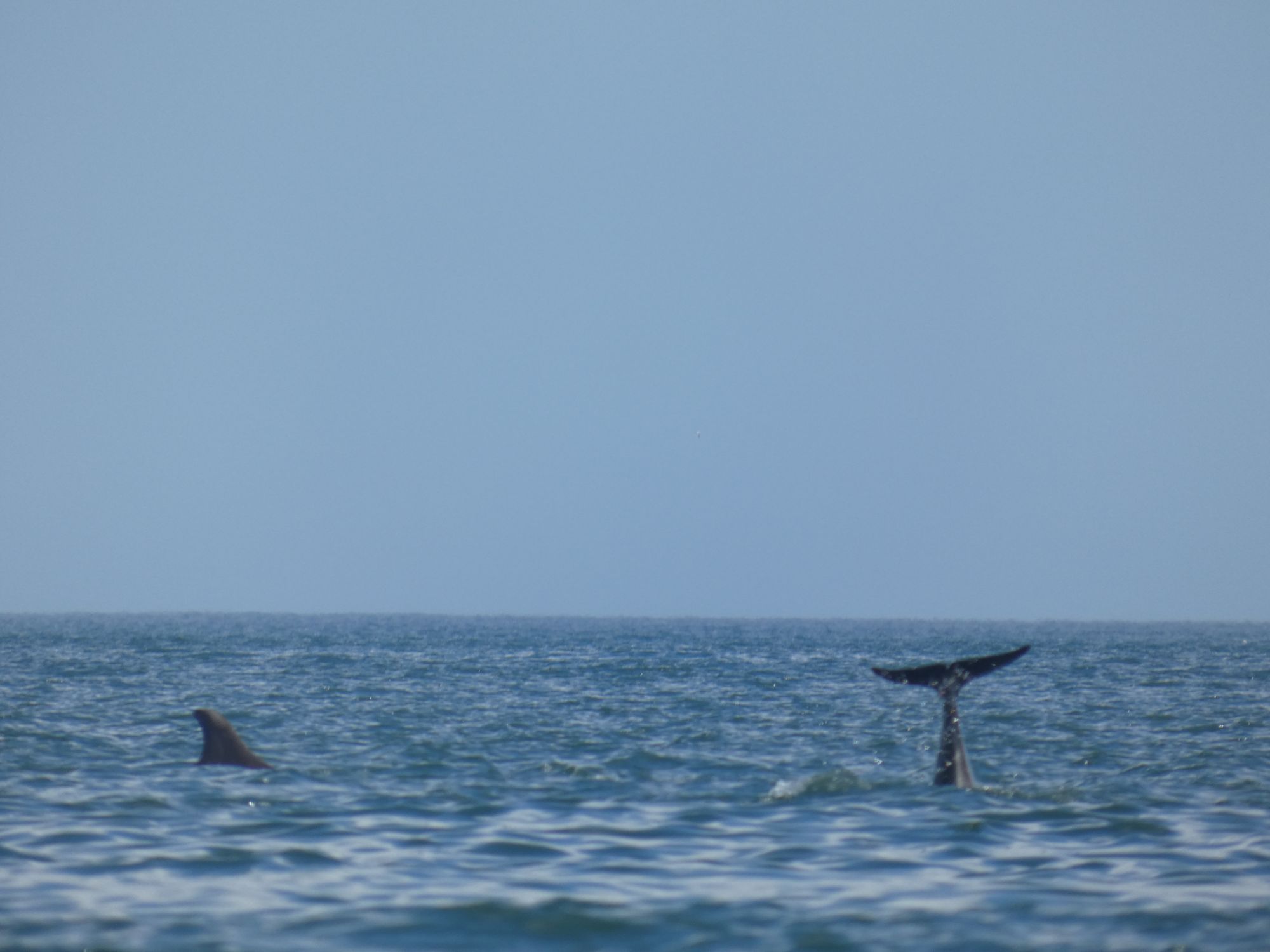
On my approach, I was aware that a vessel was coming out and that another was preparing for a tug assisted entry soon after, so my window of opportunity between the two was short. It meant that I couldn’t hang around long to watch the small pod of dolphin next to the harbour entrance.
A fin, a taila back
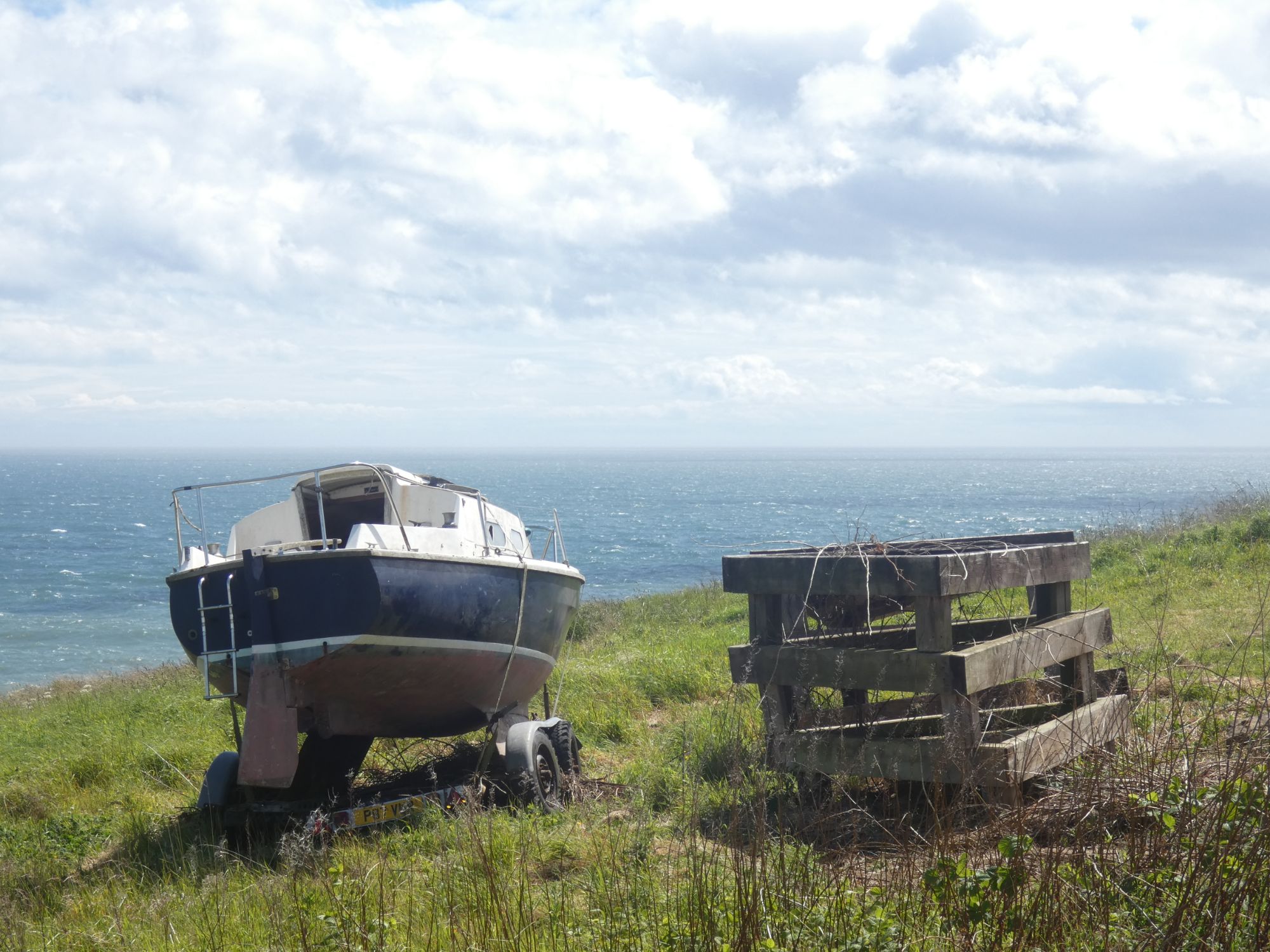
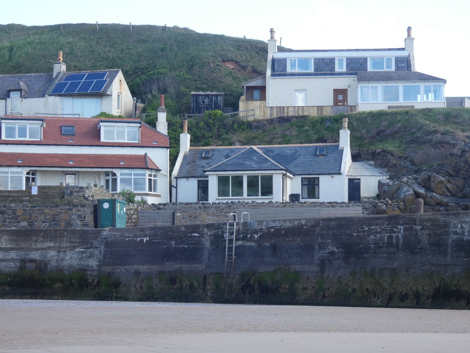
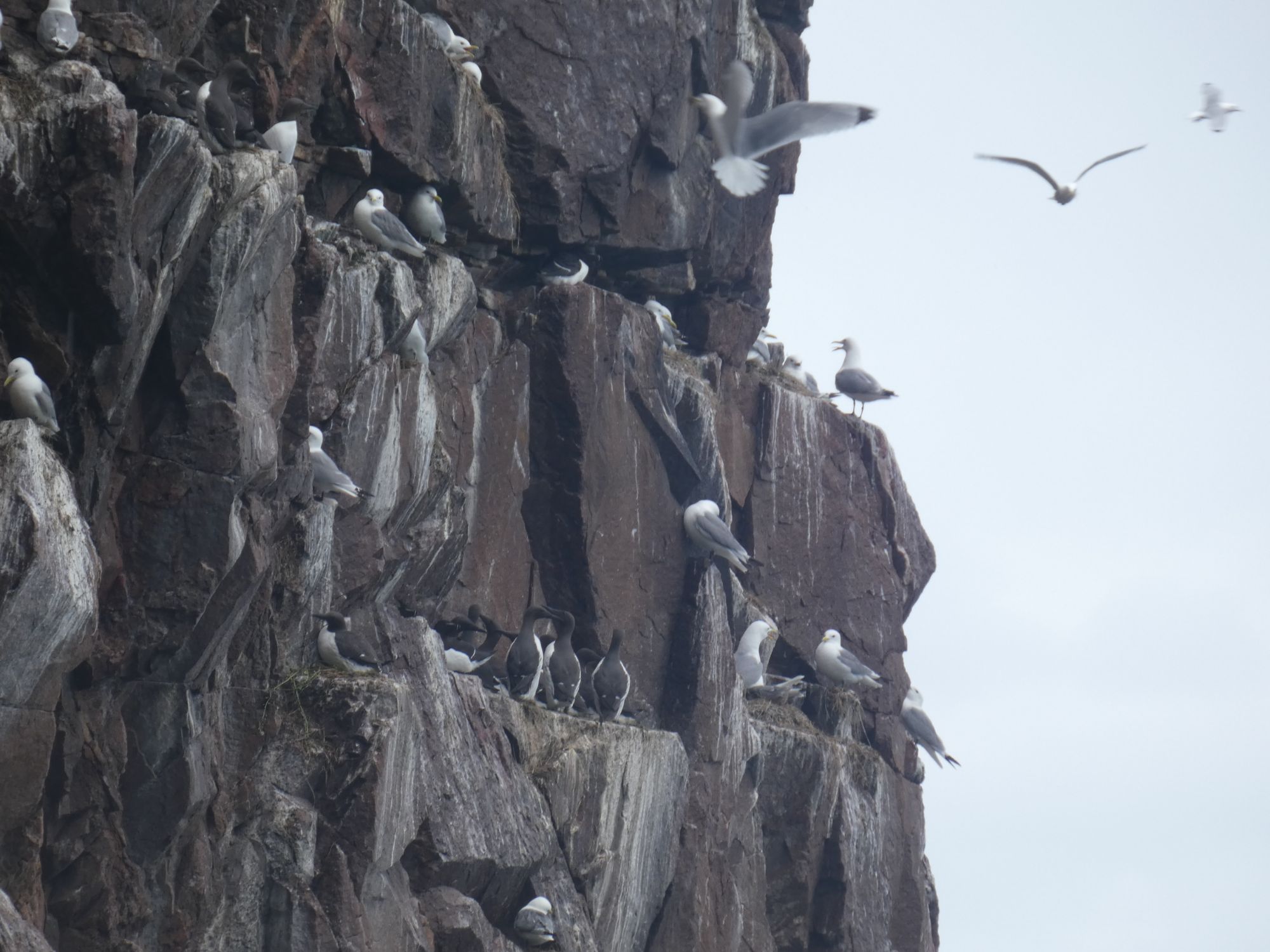
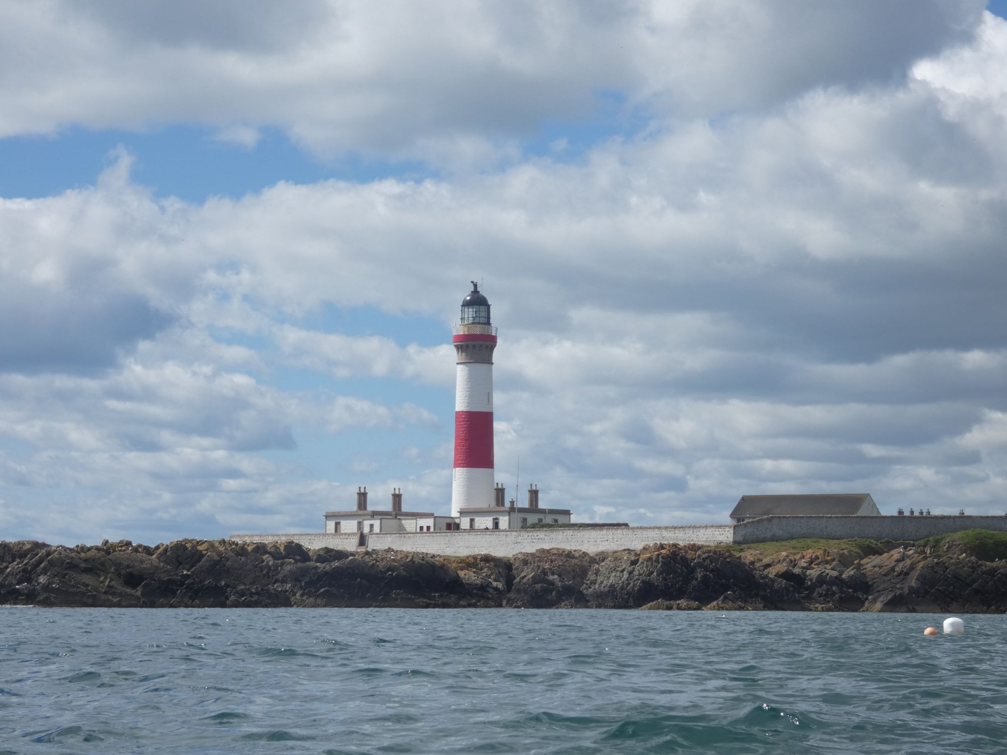
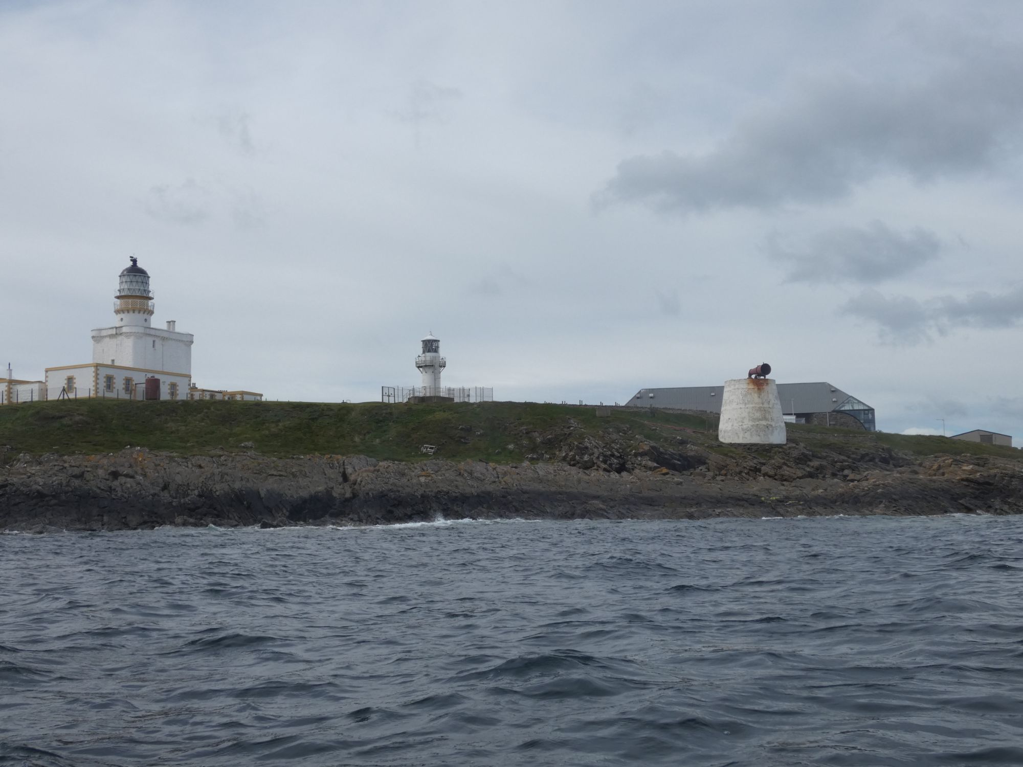
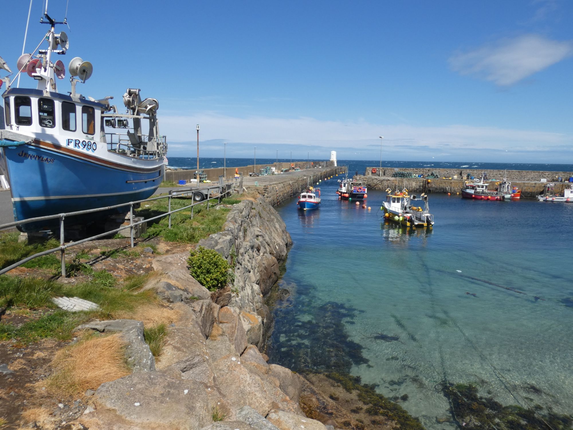
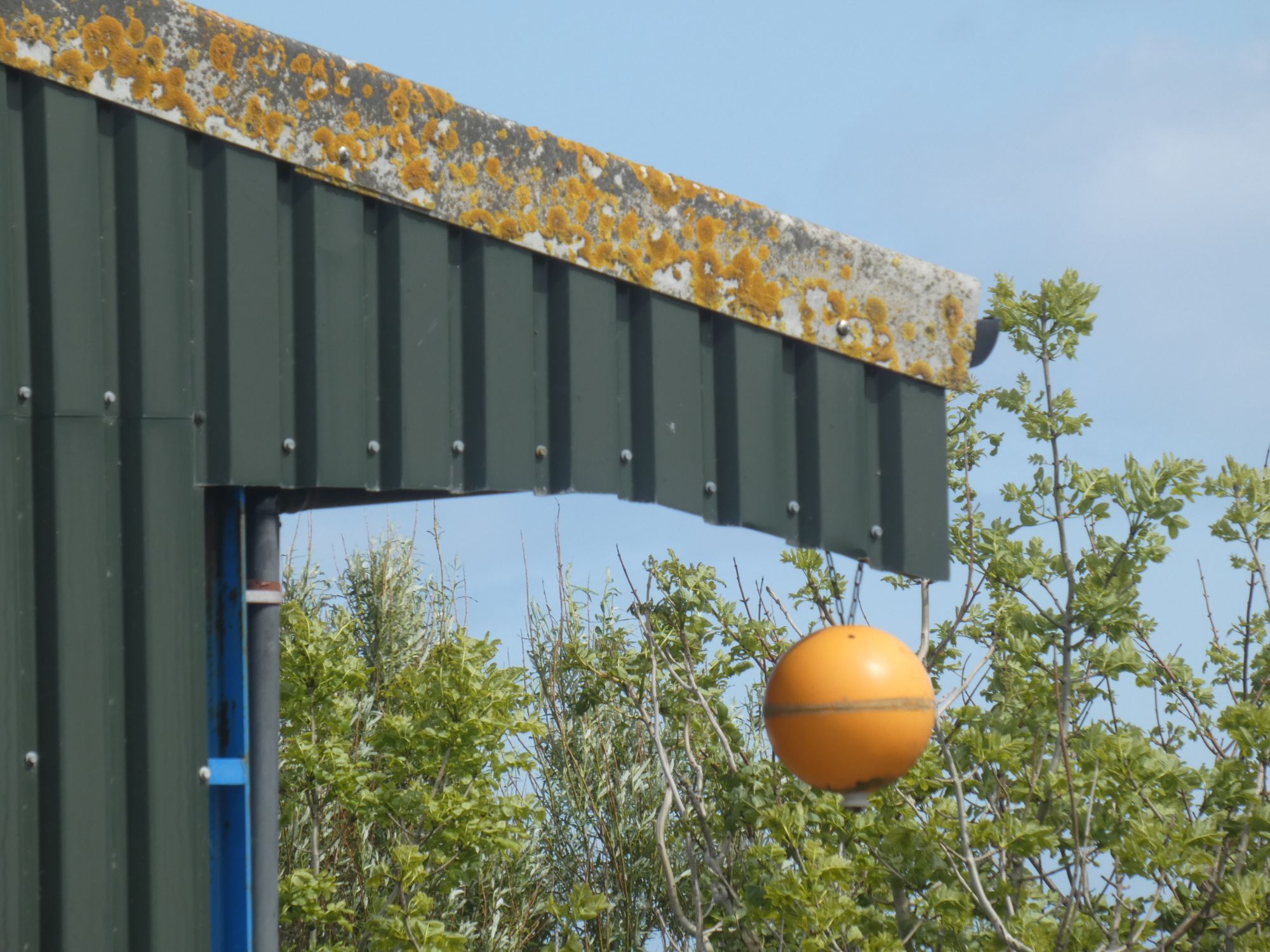
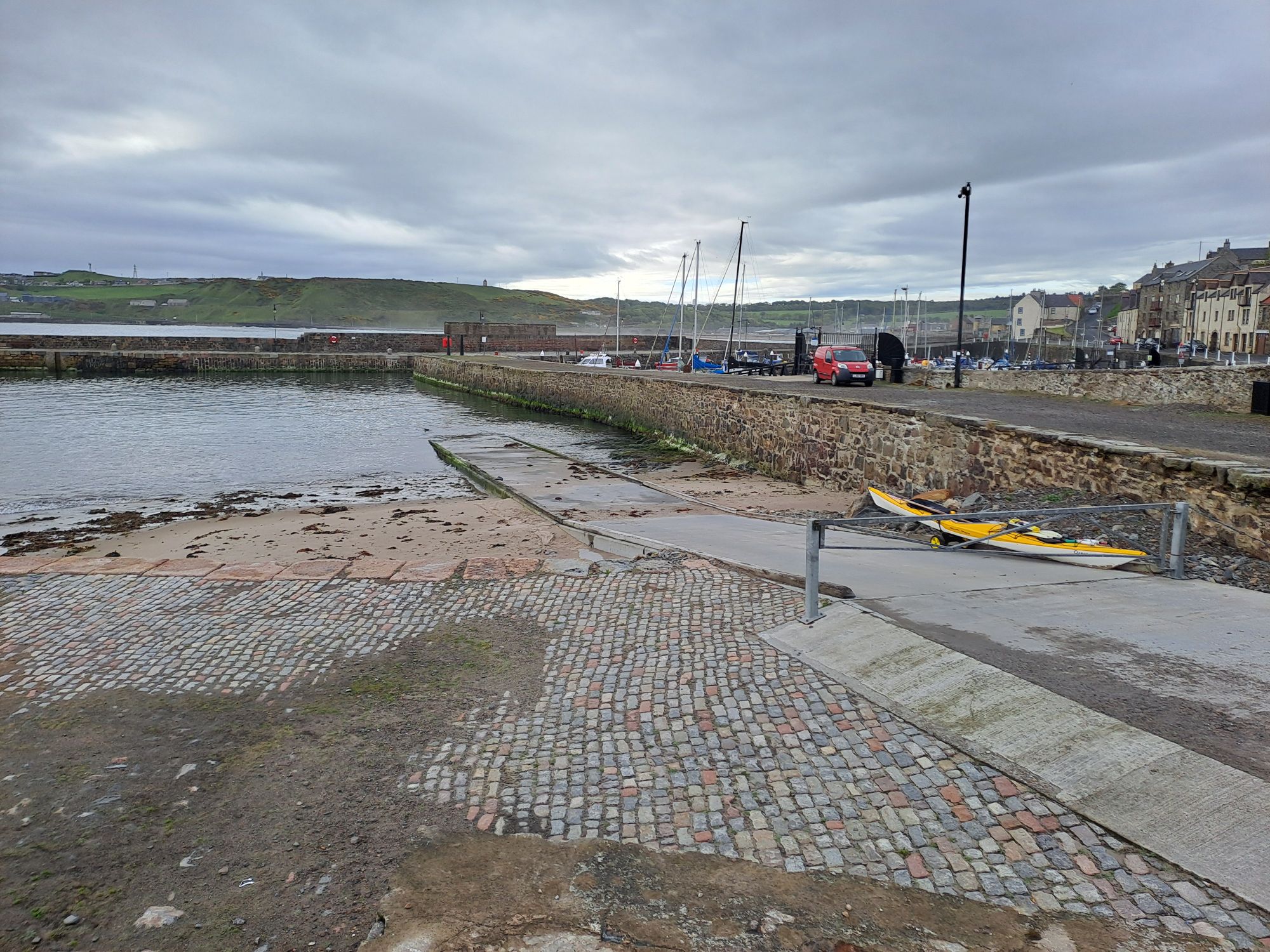
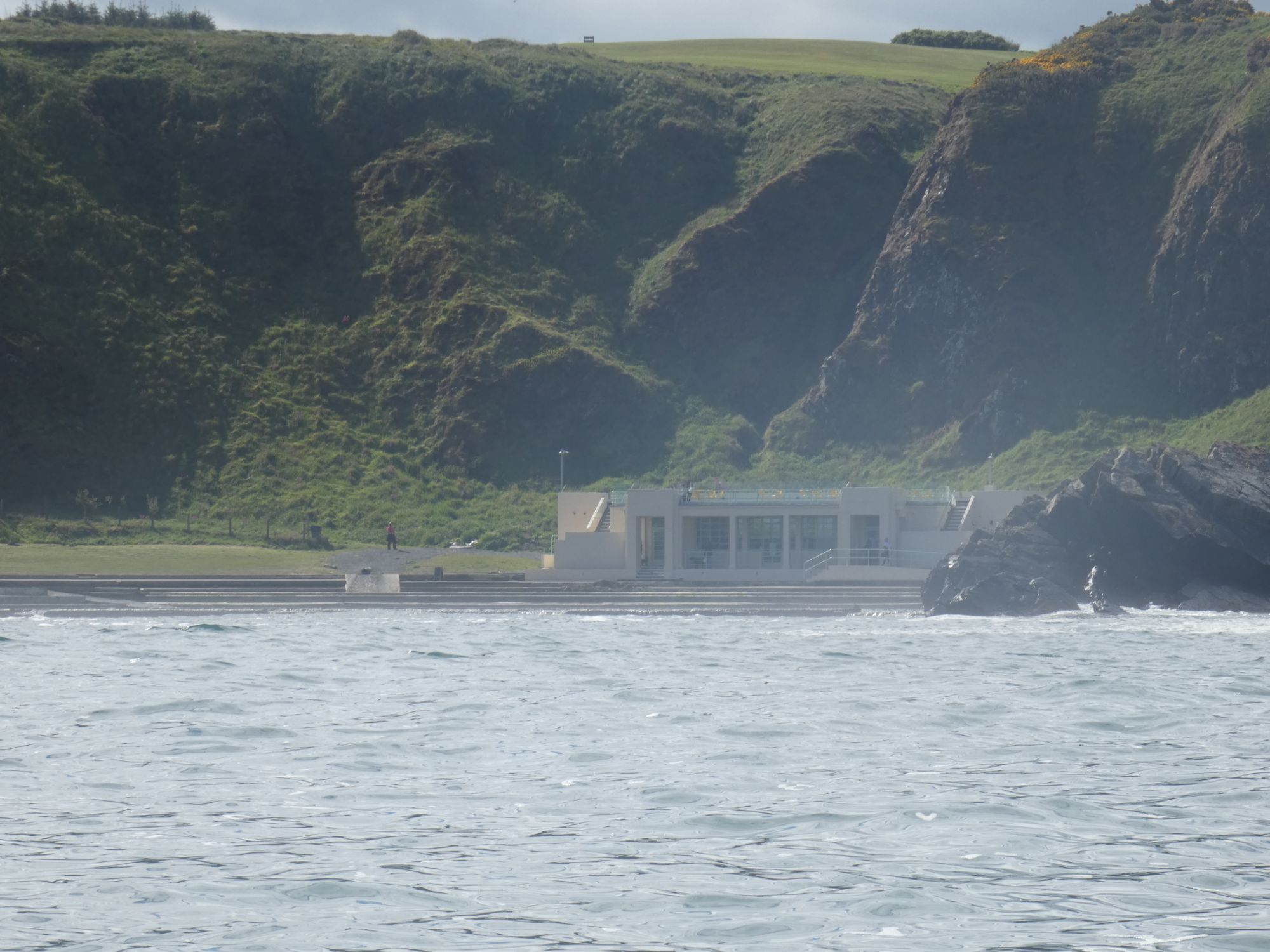
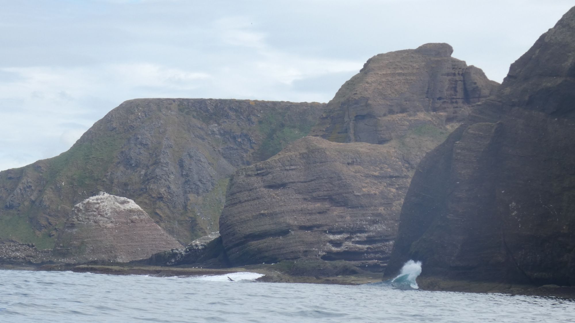
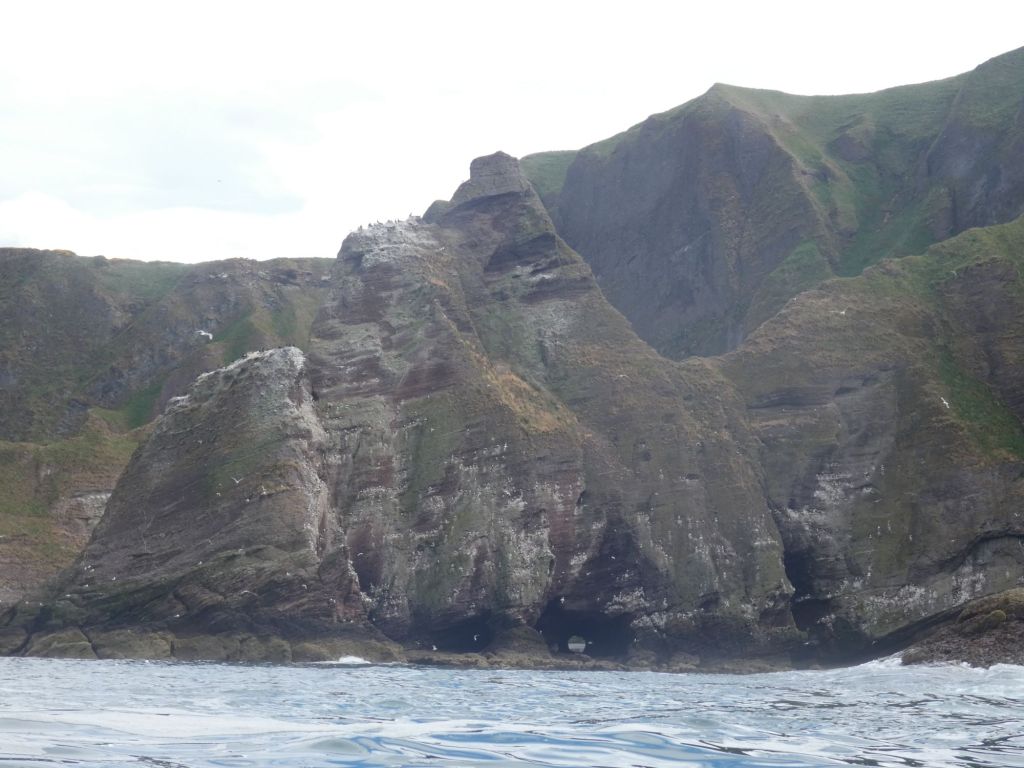
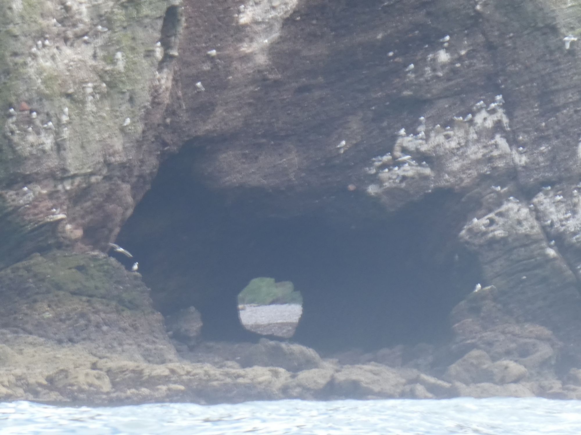
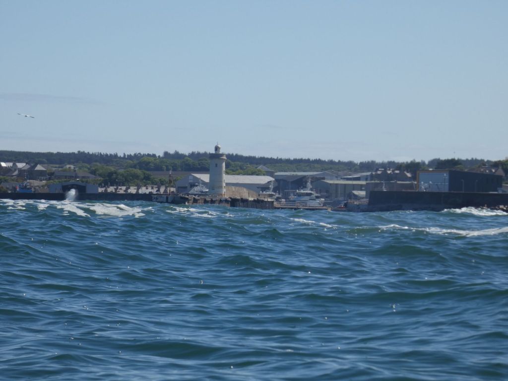
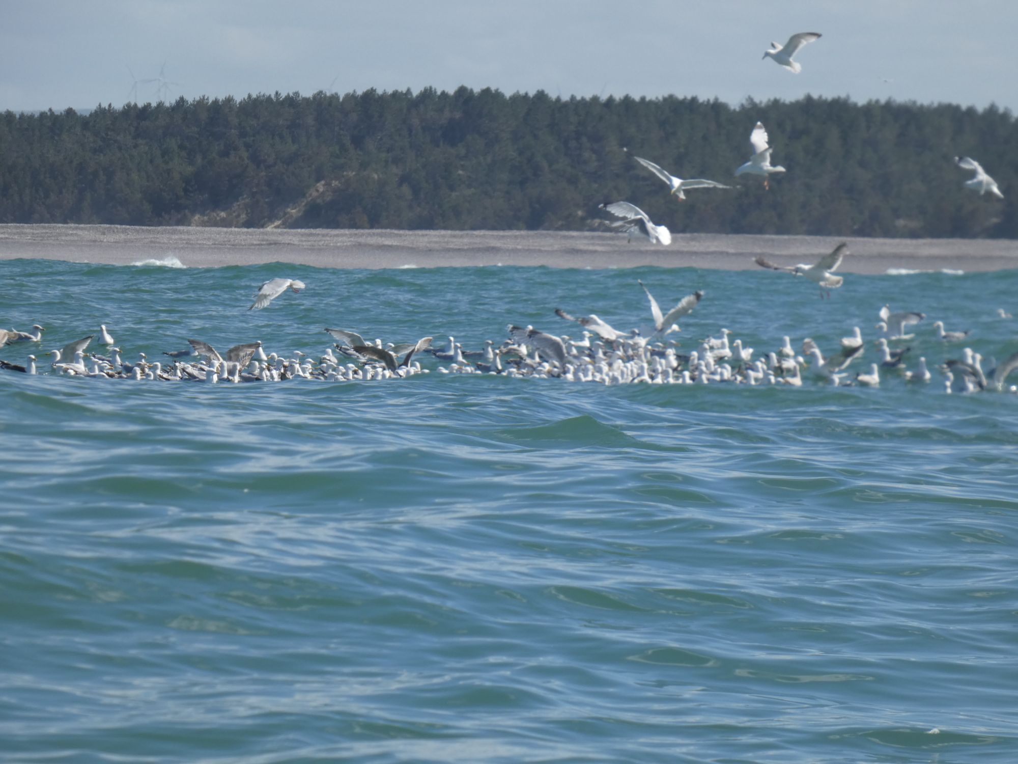
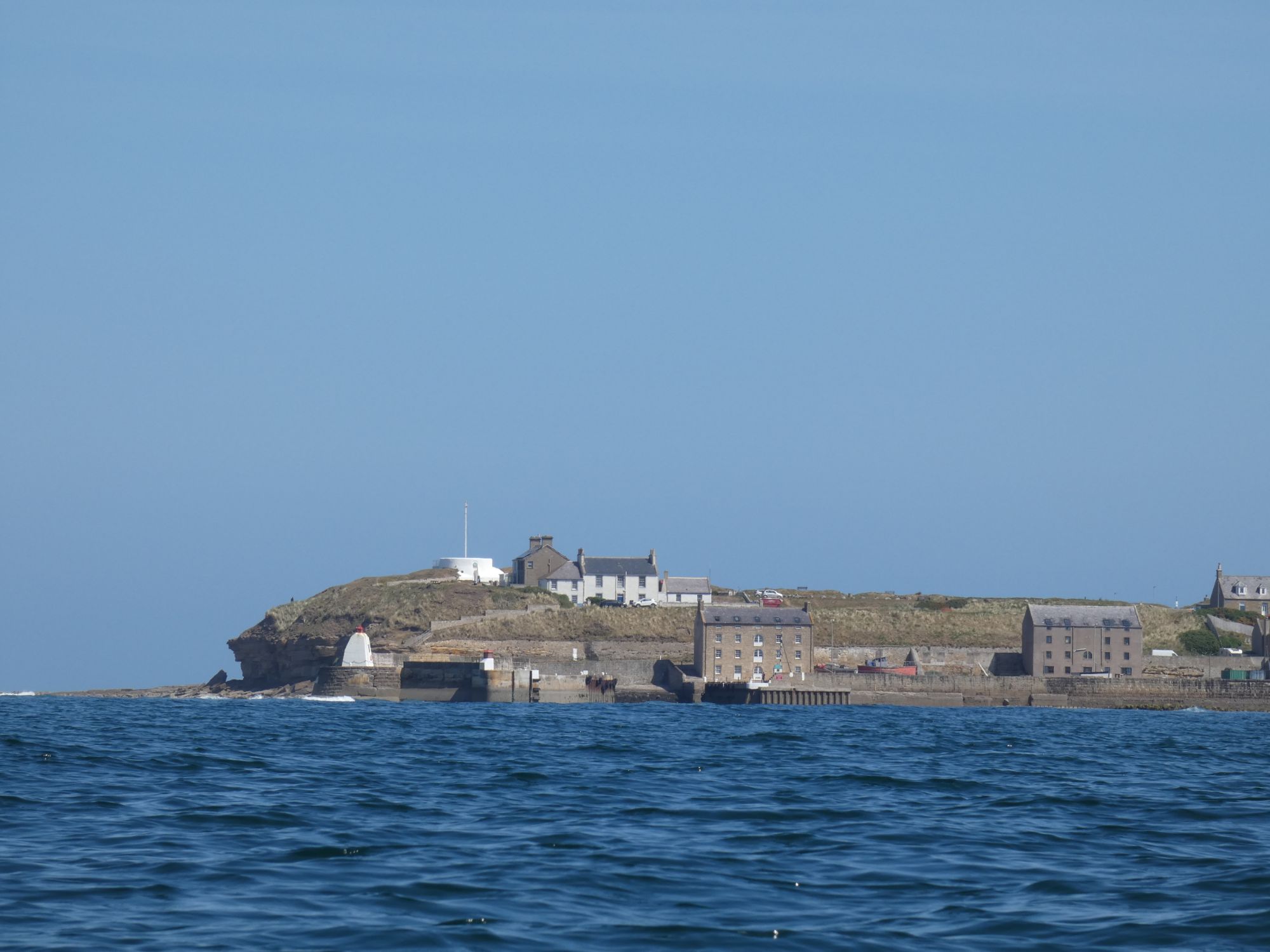
After the harbour, Girdle Ness, and the Nigg Bay construction facility, it was just a short paddle down to my destination at Cove Bay Harbour. The bay to the north of the harbour was full of birds and caves. I took a short time to explore but was ready to be off the water by this time.
Gulls on the waterKittiwakesGuillemots
I set up camp and then went in search of sustenance. I found it close by at the Cove Bay Hotel.
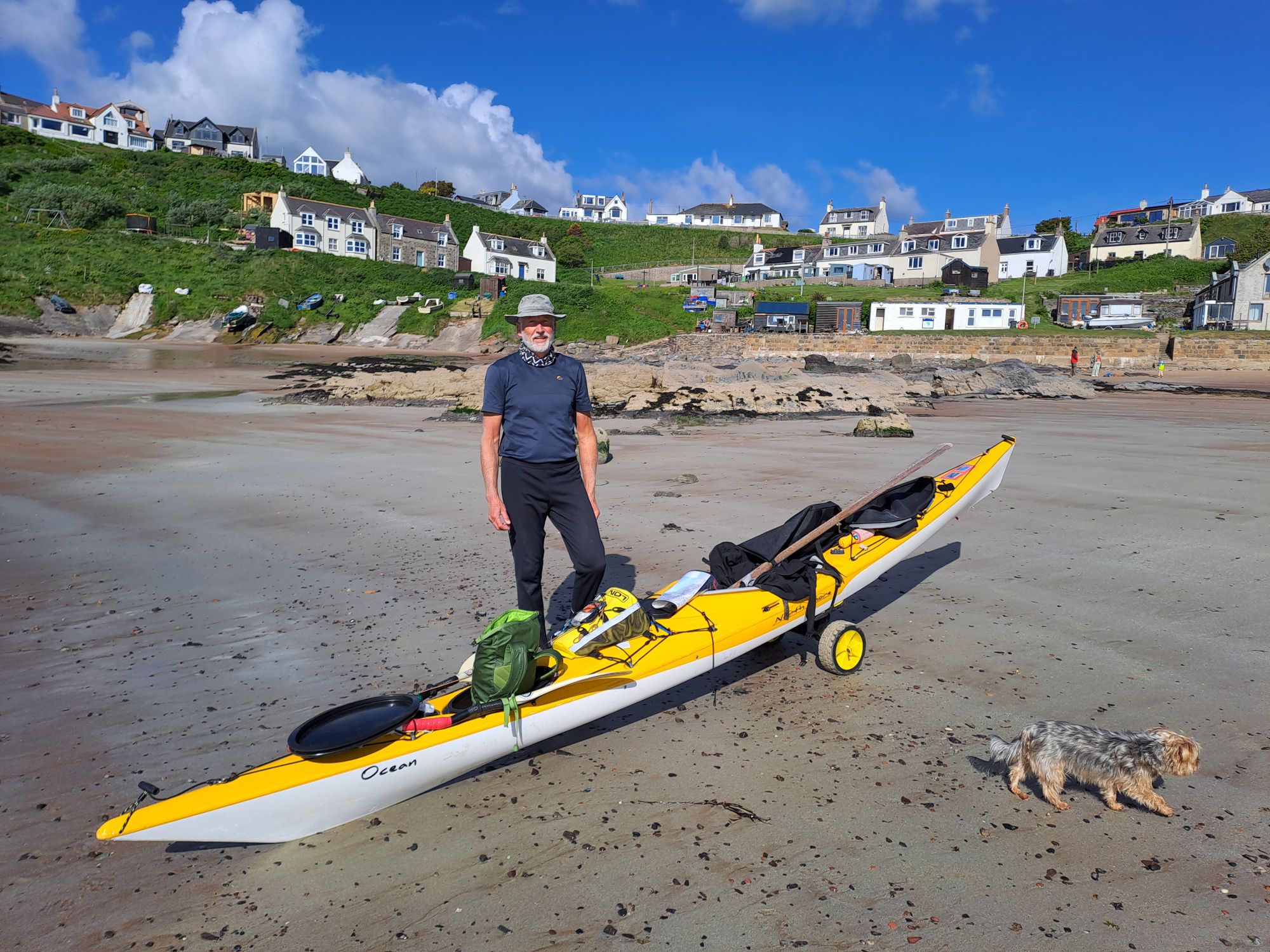
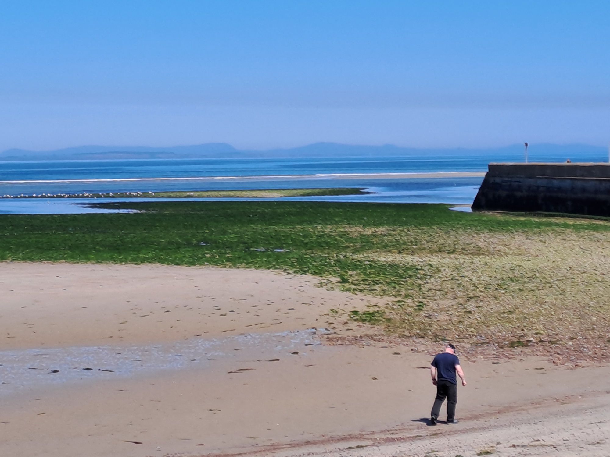
Another sunny start to the day. I ate some breakfast and then packed up, trying hard to keep as much sand as possible where it belonged on the beach and not in my kayak. Only one person walked by before I left. His dog couldn’t resist an unexpected kayak trolley wheel to anoint with his scent.
Looking north to Peterhead from my campsitePassing the bridge over the Ugie riverPeterhead Harbour entrance and power station
The offshore westerly breeze made for easy paddling past Peterhead and its busy harbour. I stopped at the north side of the harbour entrance to watch a pilot launch come out. I’d been monitoring VHF ch14 for local vessel movements and decided it best to request permission to cross the harbour entrance. I was asked to proceed with haste as there was an incoming vessel, but I got the impression they appreciated the courtesy of the request.
Boddam Harbour Buchan Ness lighthouse
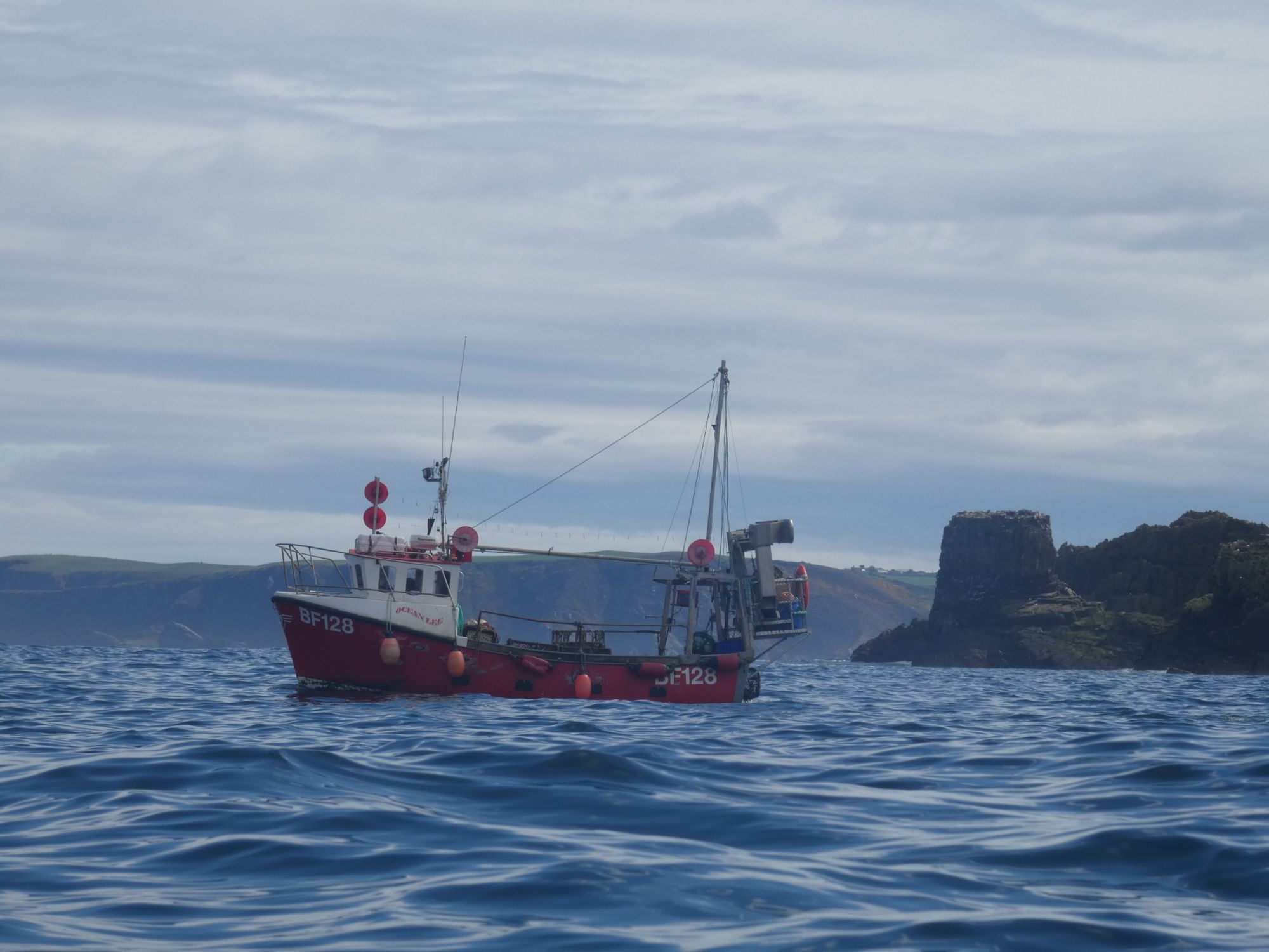
After I passed Buchan Ness, the wind swung round to the southwest, where it remained for the remainder of the day. This slowed my progress even though the generally weak tidal flow was in my favour.
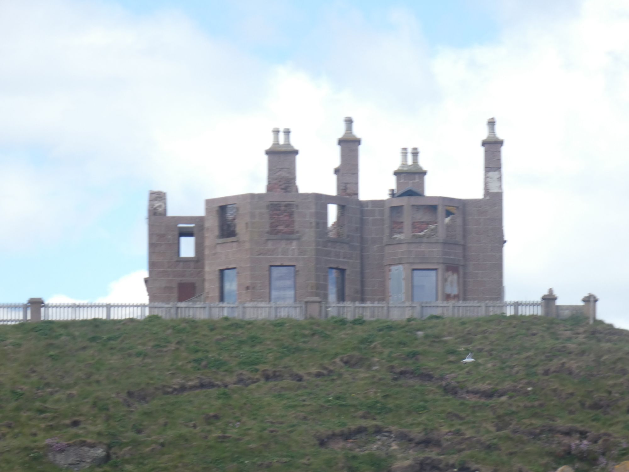
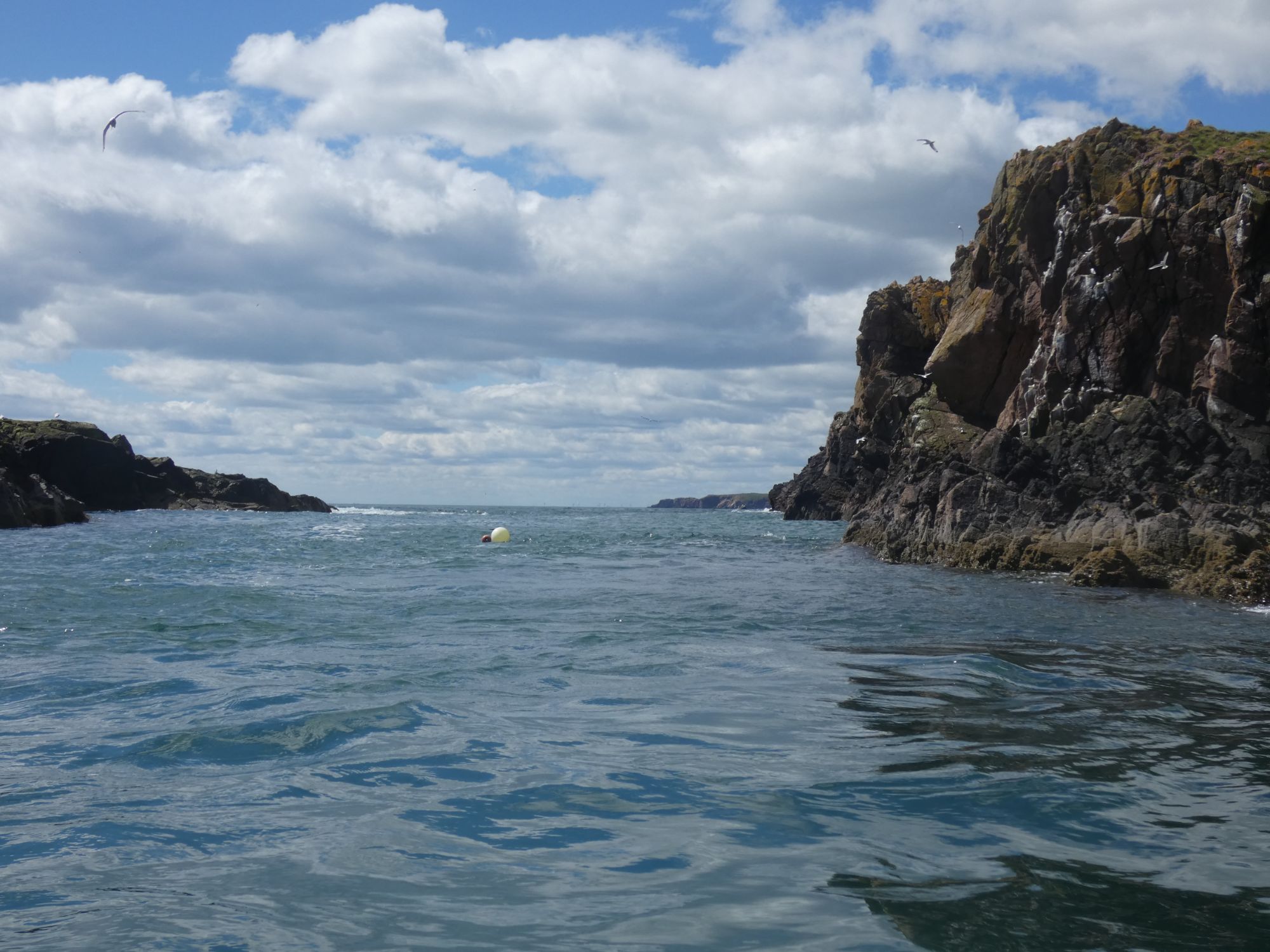
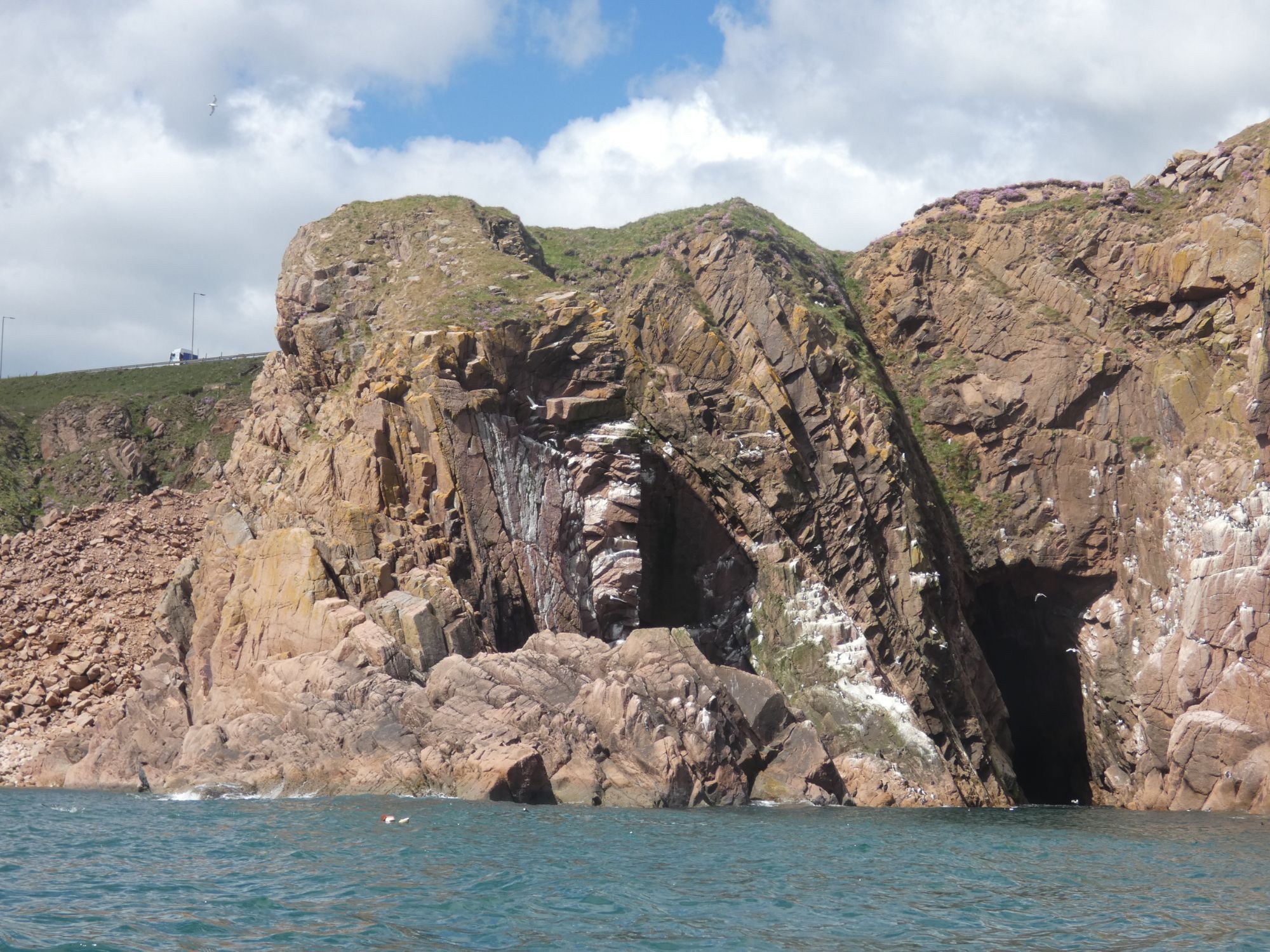
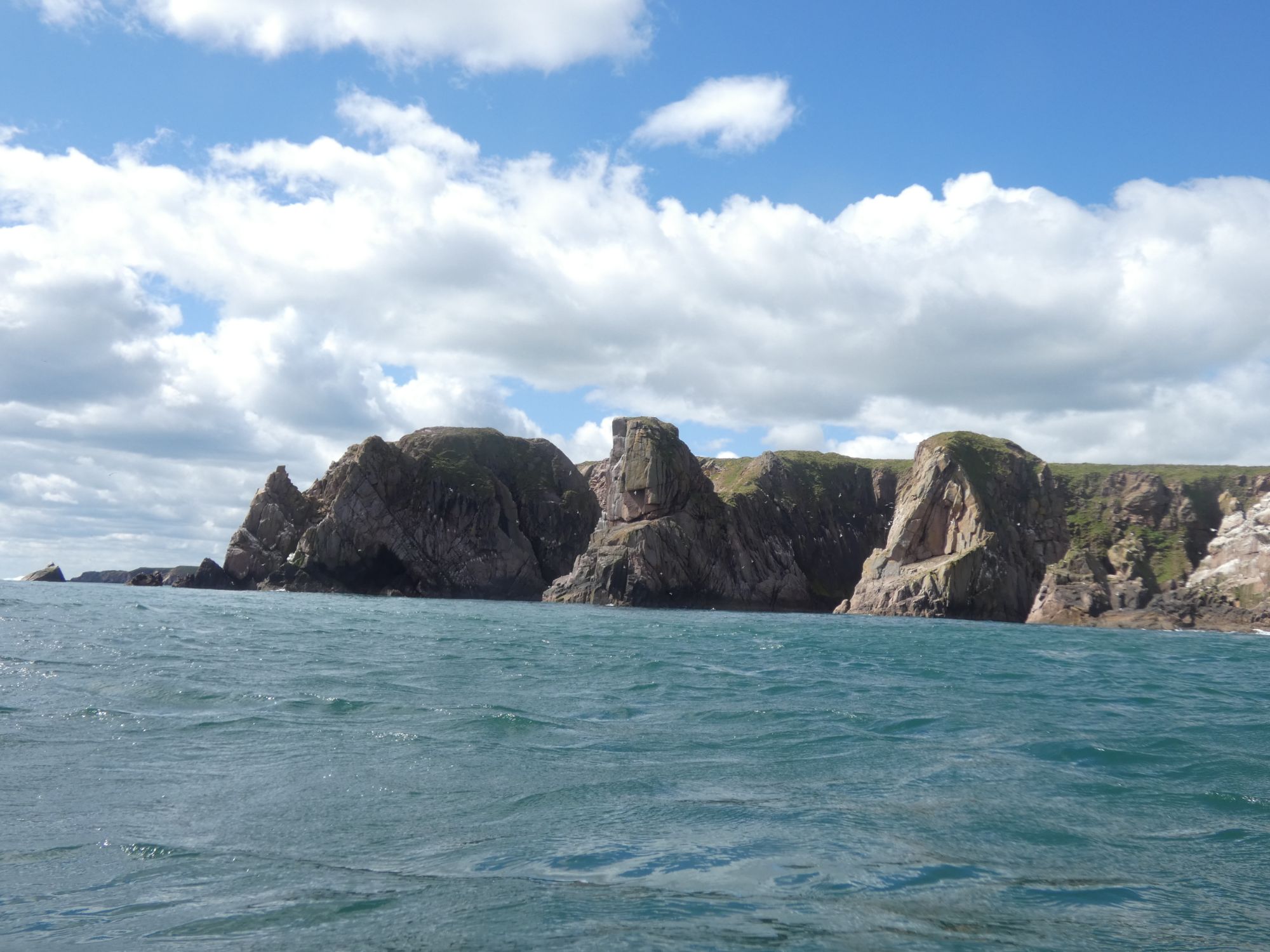
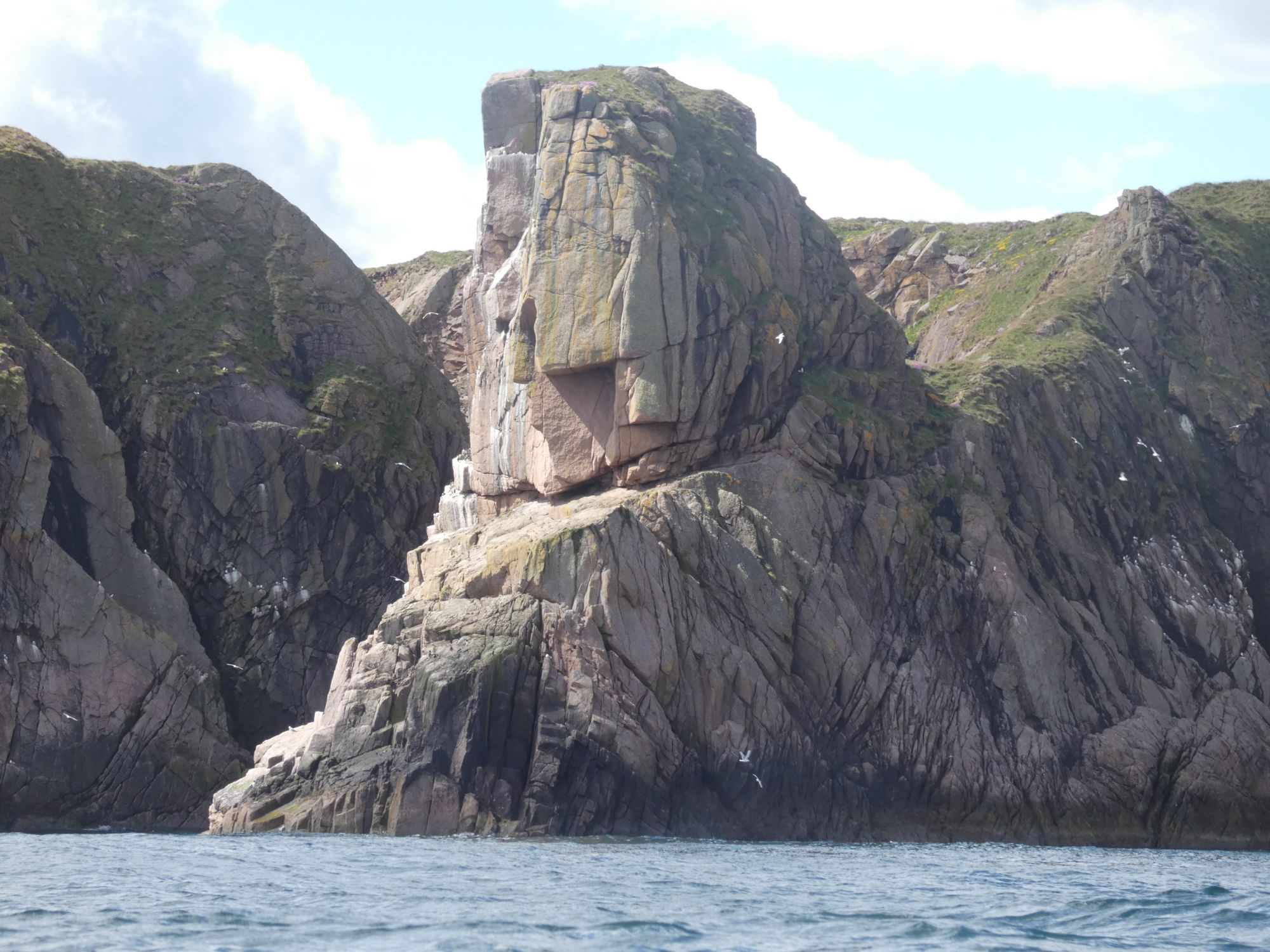
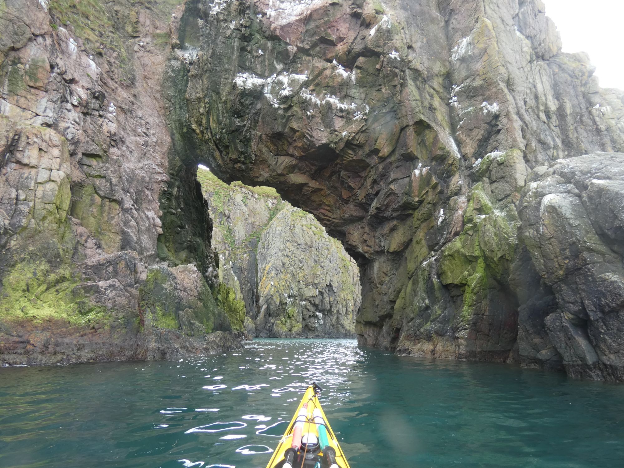
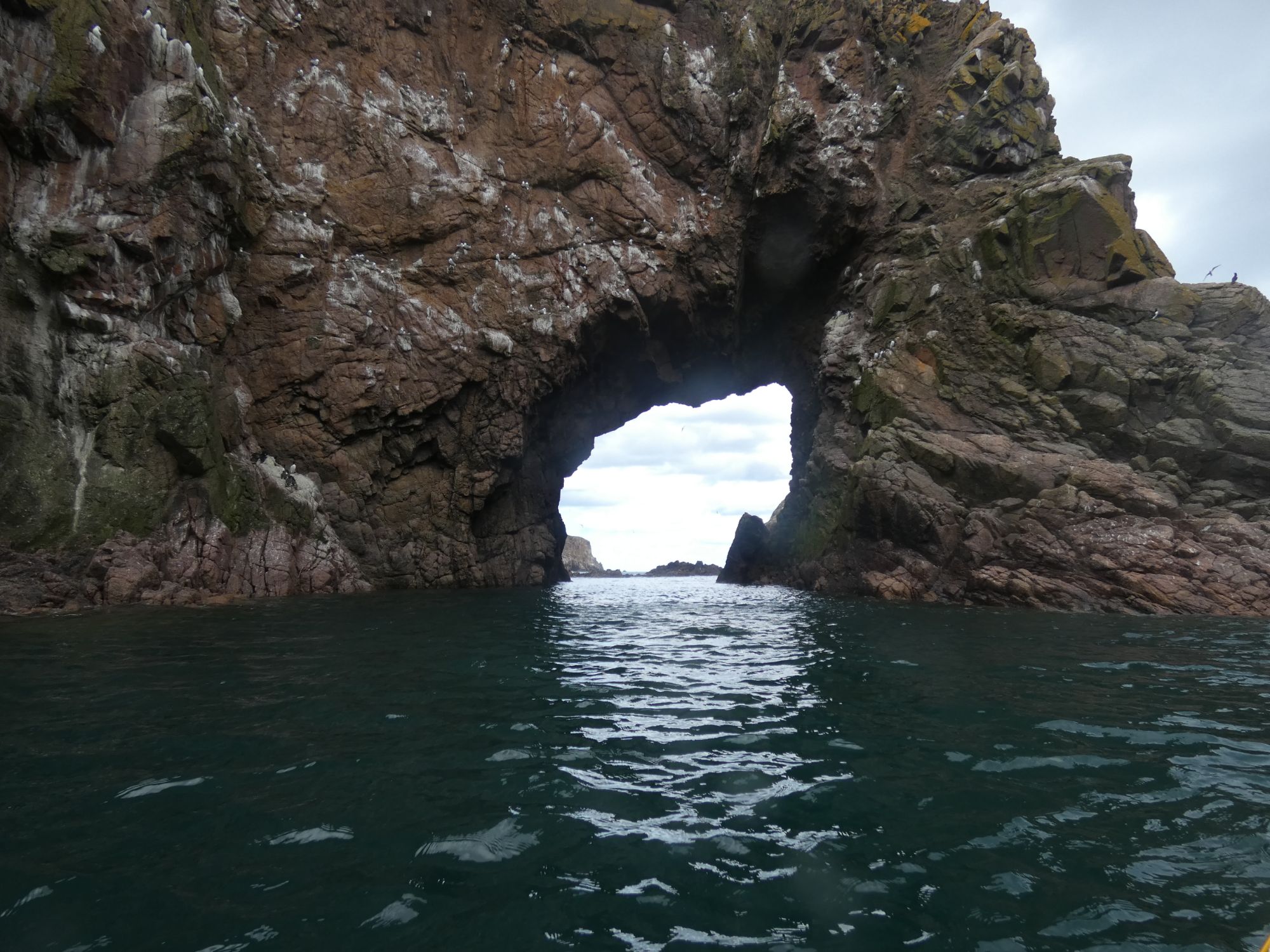
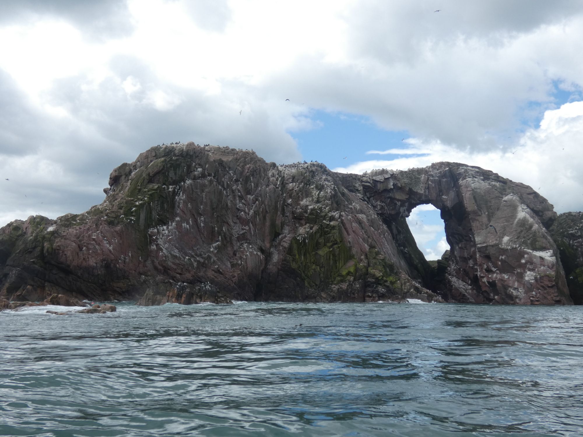
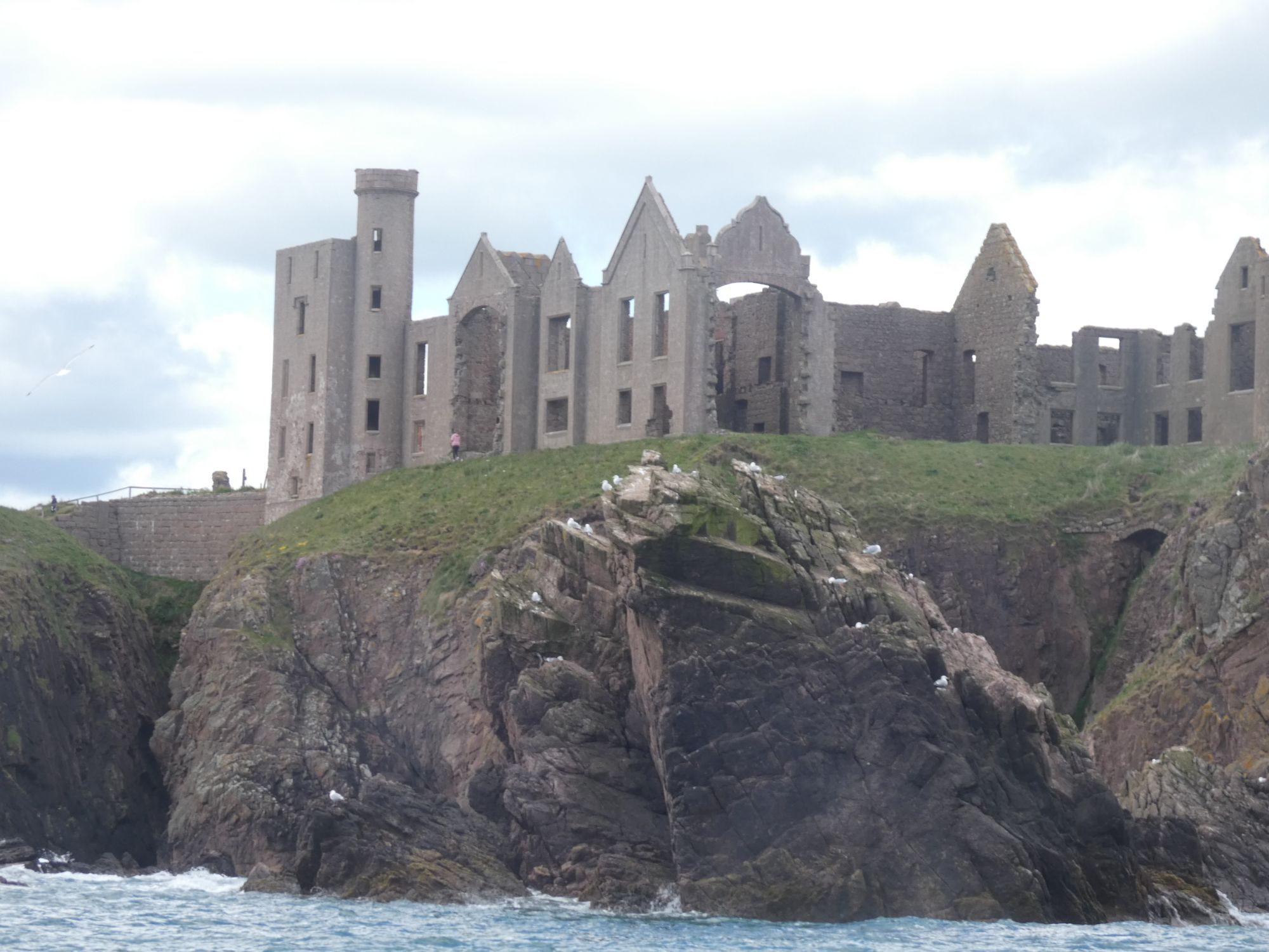
A house of two halvesCreels laid through this small channelOne of many cavesApproaching the Bullers of BuchanI see a grumpy faceRabie’s HavenLooking north from Rabie’s HavenAnother archSlains Castle
After passing Slains Castle, I stopped for lunch below the golf course at Cruden Bay. Only a few hundred metres from where I’d had dinner last night.
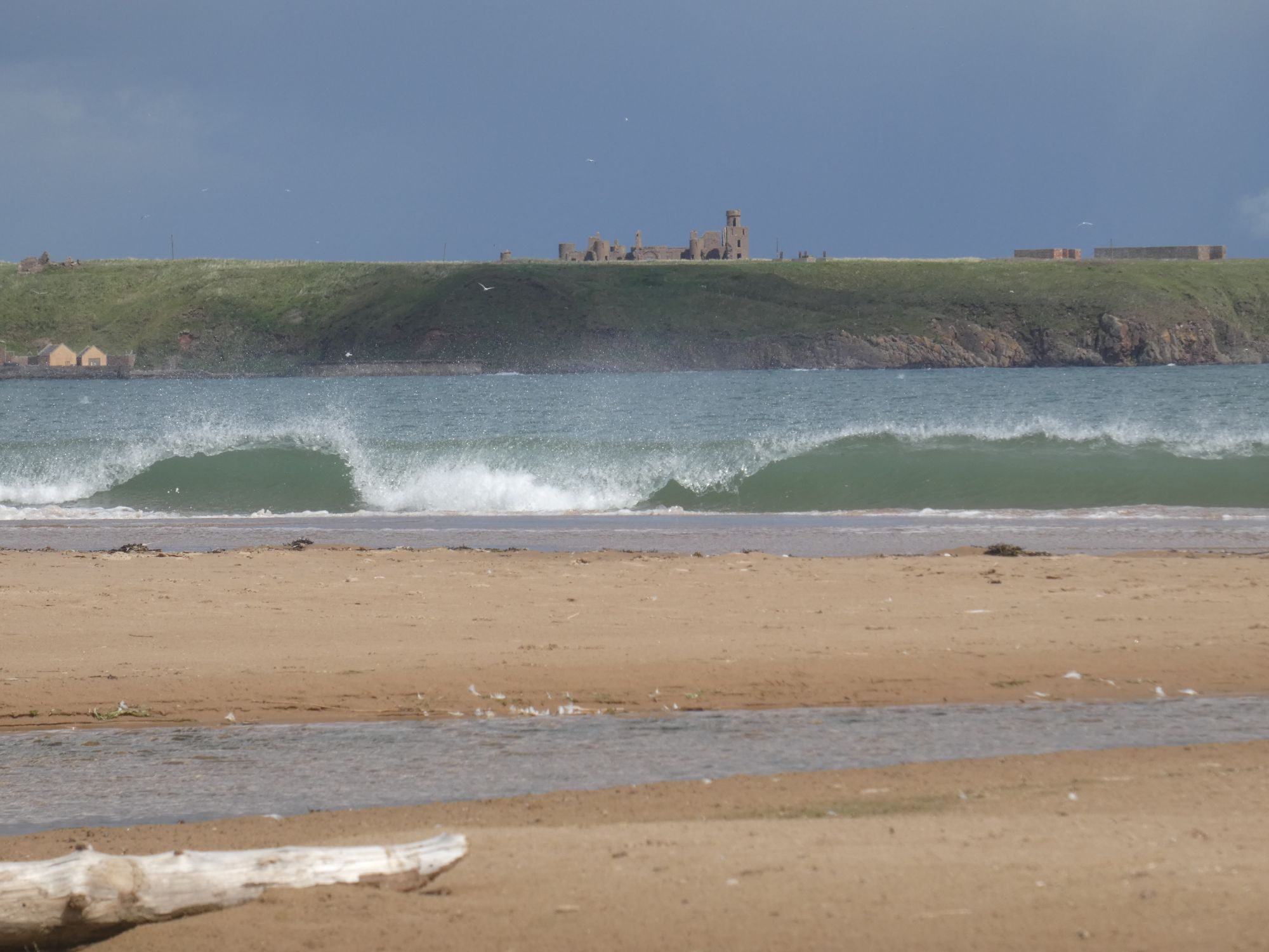
North towards Slains Castle over Cruden Bay
Large tadpoles in stream by lunch spot
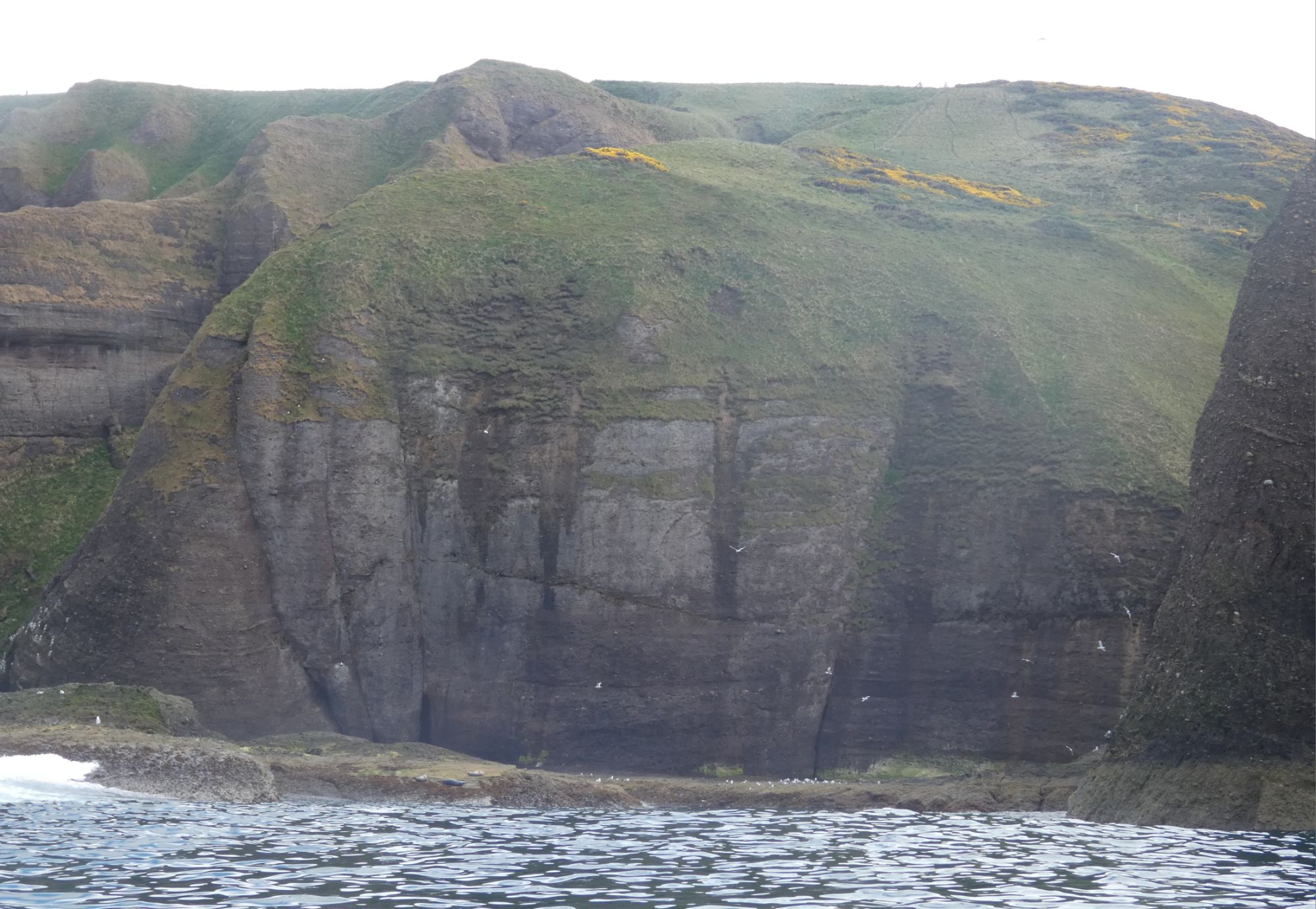
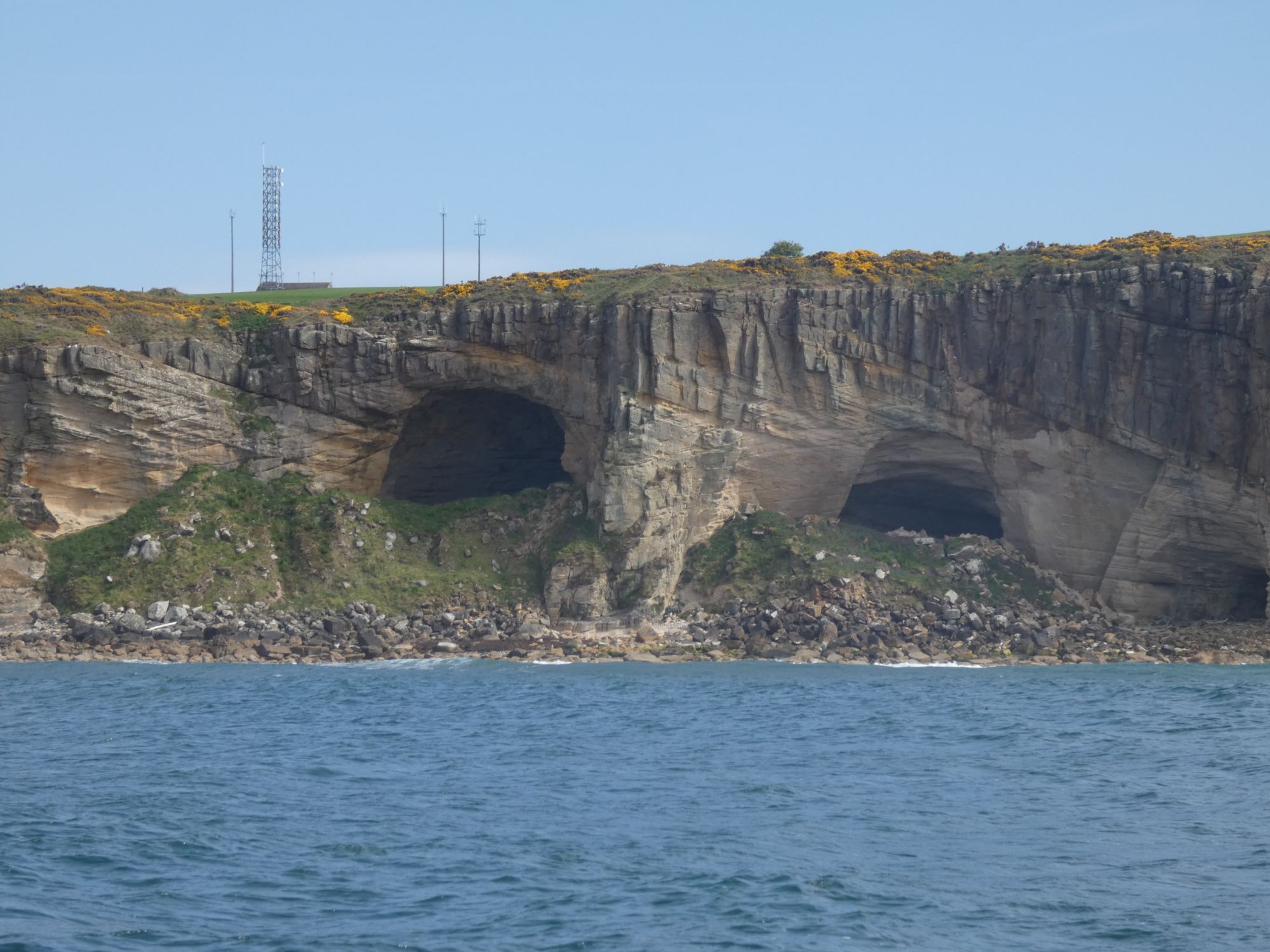
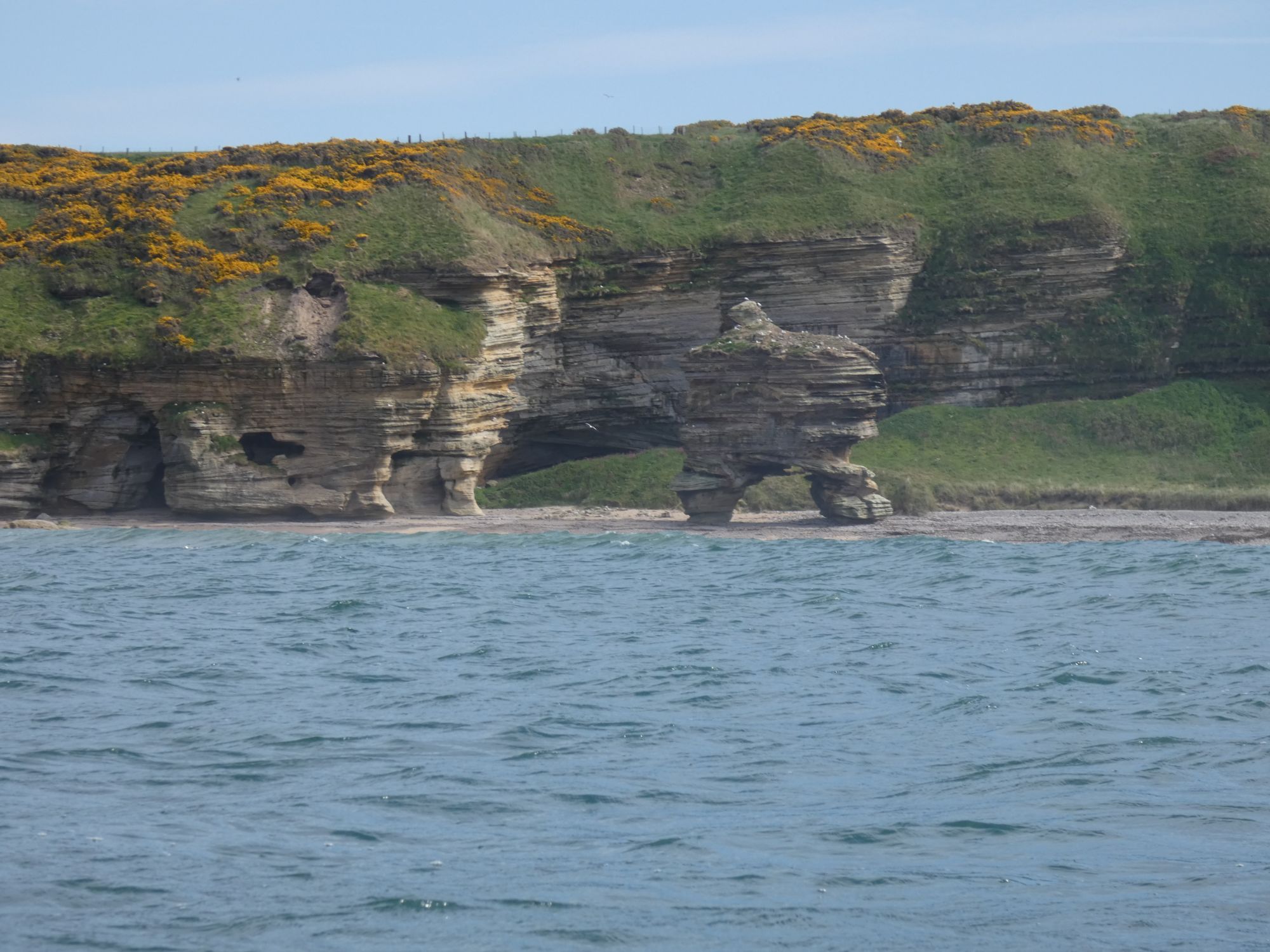
The cliffs between Cruden Bay and Collieston were interesting, too, and full of birds. However, although the wind had dropped, the clapotis on this section was particularly active. I couldn’t risk taking the camera out.
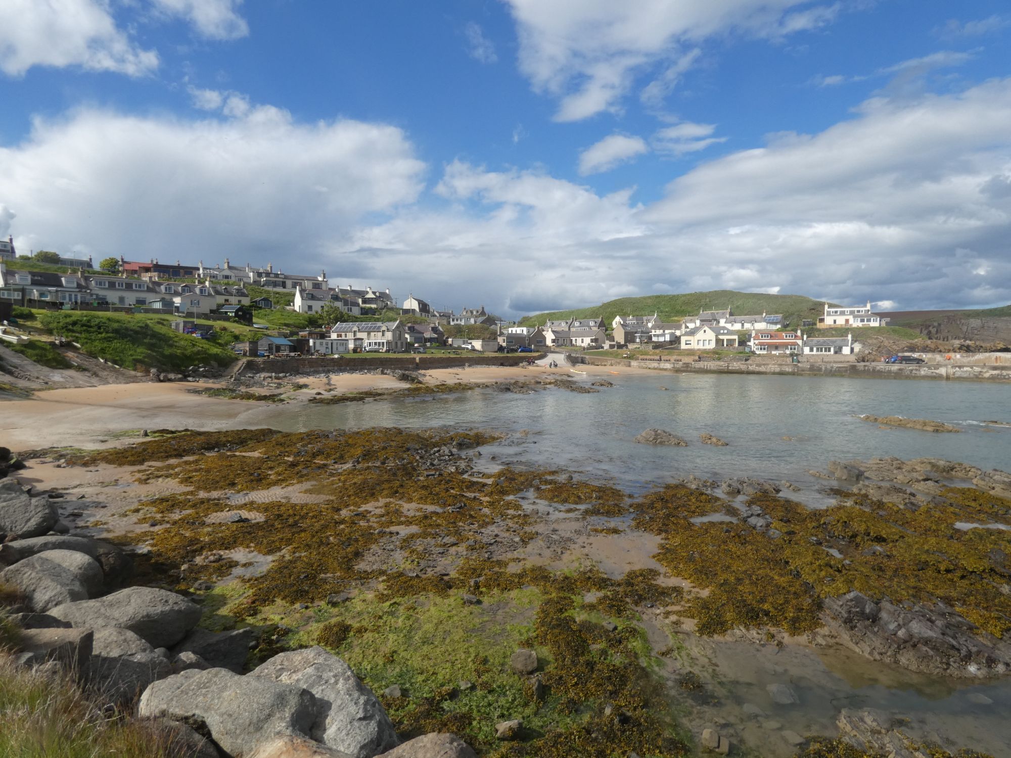
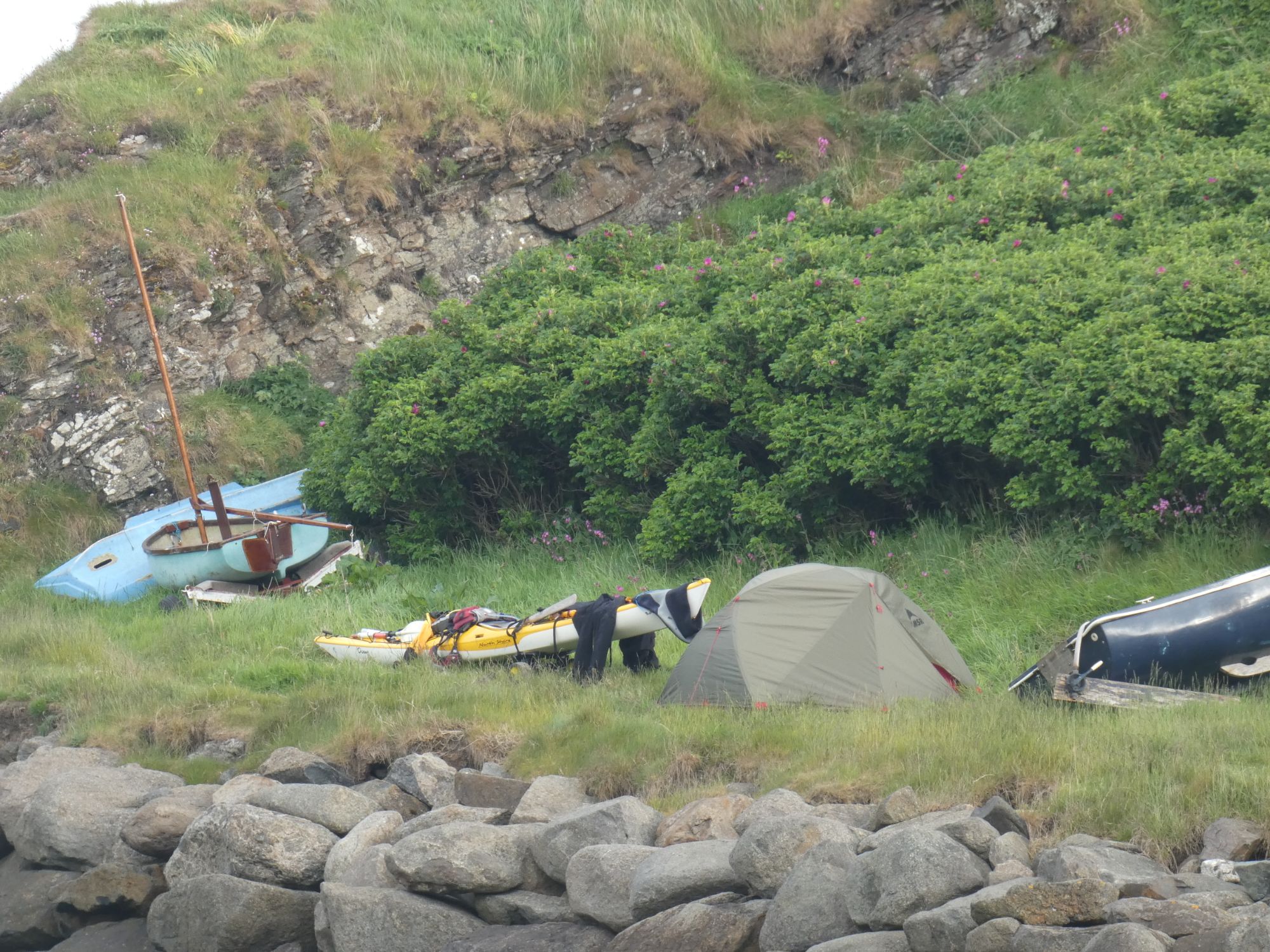
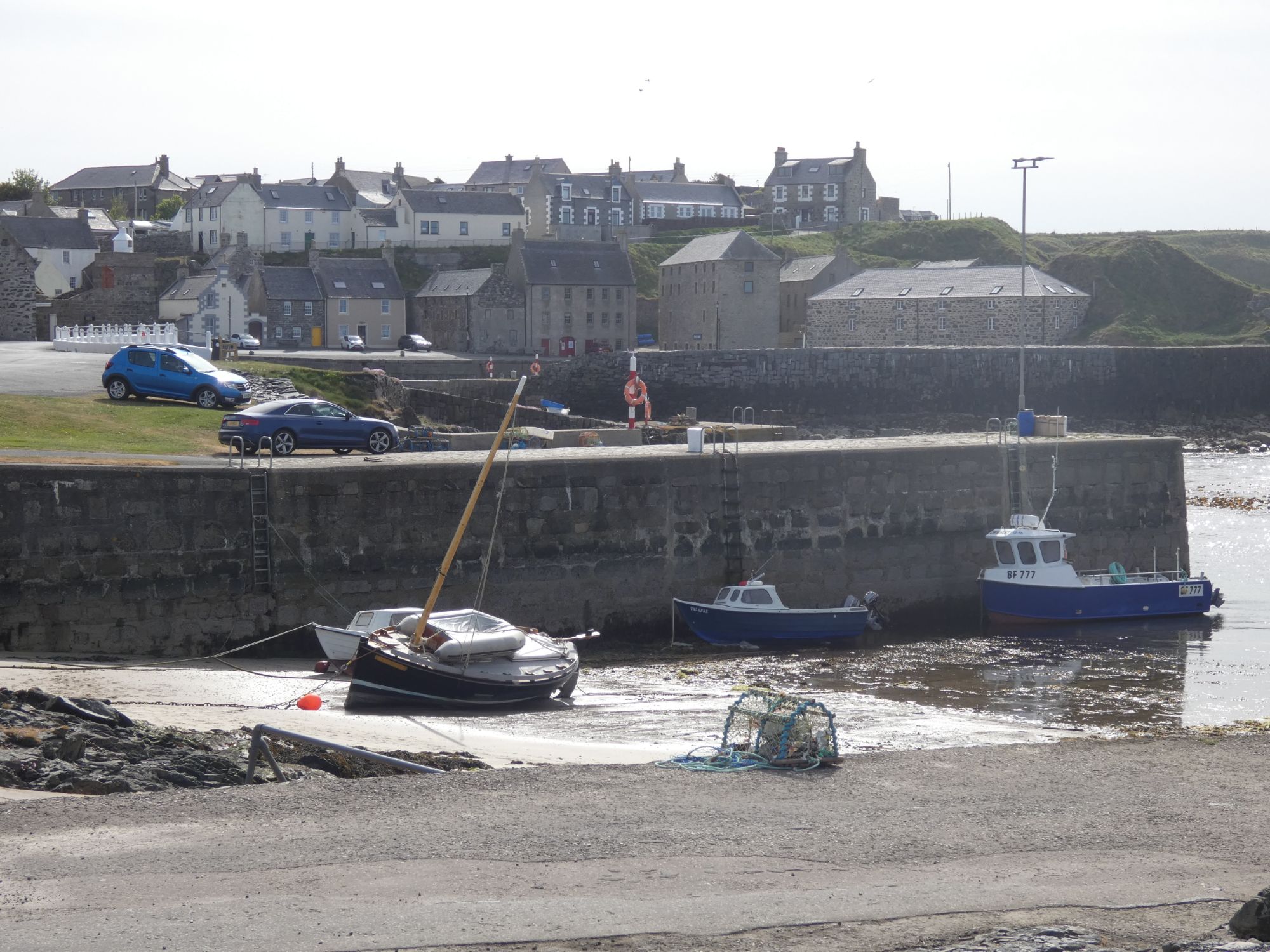
I arrived in Collieston in two minds on whether I should just take a short rest here and then continue on to Hackley Bay or call it a day here. There were children playing in the water and mothers looking on. After a chat with Jess and a short wander around, I decided that this idyllic spot would suit just fine. Jess clinched the deal with her very generous offer to make my dinner!
ColliestonCamping in Collieston
I set up camp and then sat at a picnic table sorting photos and loading my GPS track to Strava. Jess brought me my dinner on a tray, and I chatted to her and her two delightful children about their life in Collieston and my trip around the heart of Scotland.
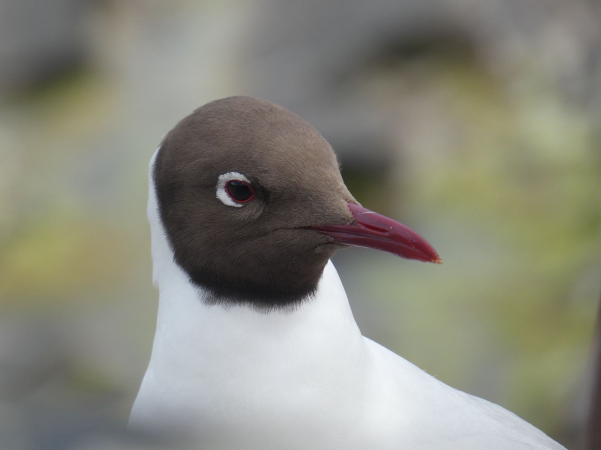
Black-headed gull eyeing my dinnerCollieston from above
In the late evening, I took a walk to Hackley Bay through the Forvie Nature Reserve. On my return, I was greeted by a very enthusiastic border terrier and its owner doing a bit of gardening. He had been a Lighthouse Board helicopter pilot and yacht owner and therefore knew the Scottish coast intimately. He was interested in my journey and filled me in on some local history. Thomas Blake Glover, the “Scottish Samurai”, had once lived in Collieston.
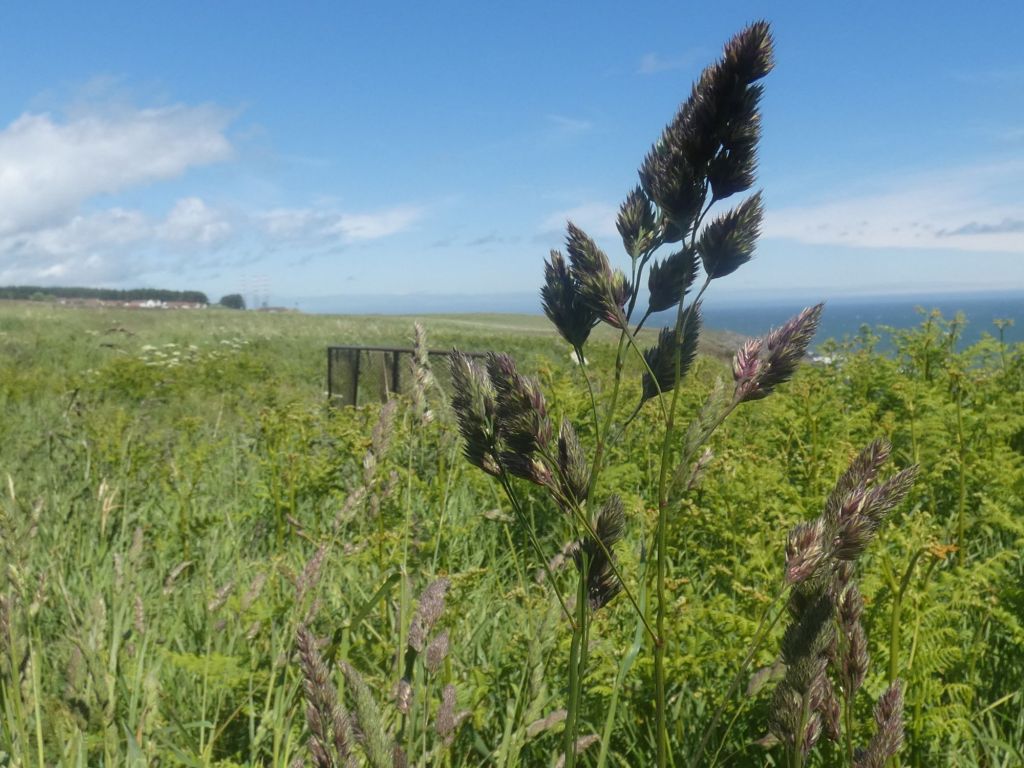
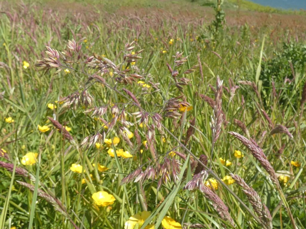
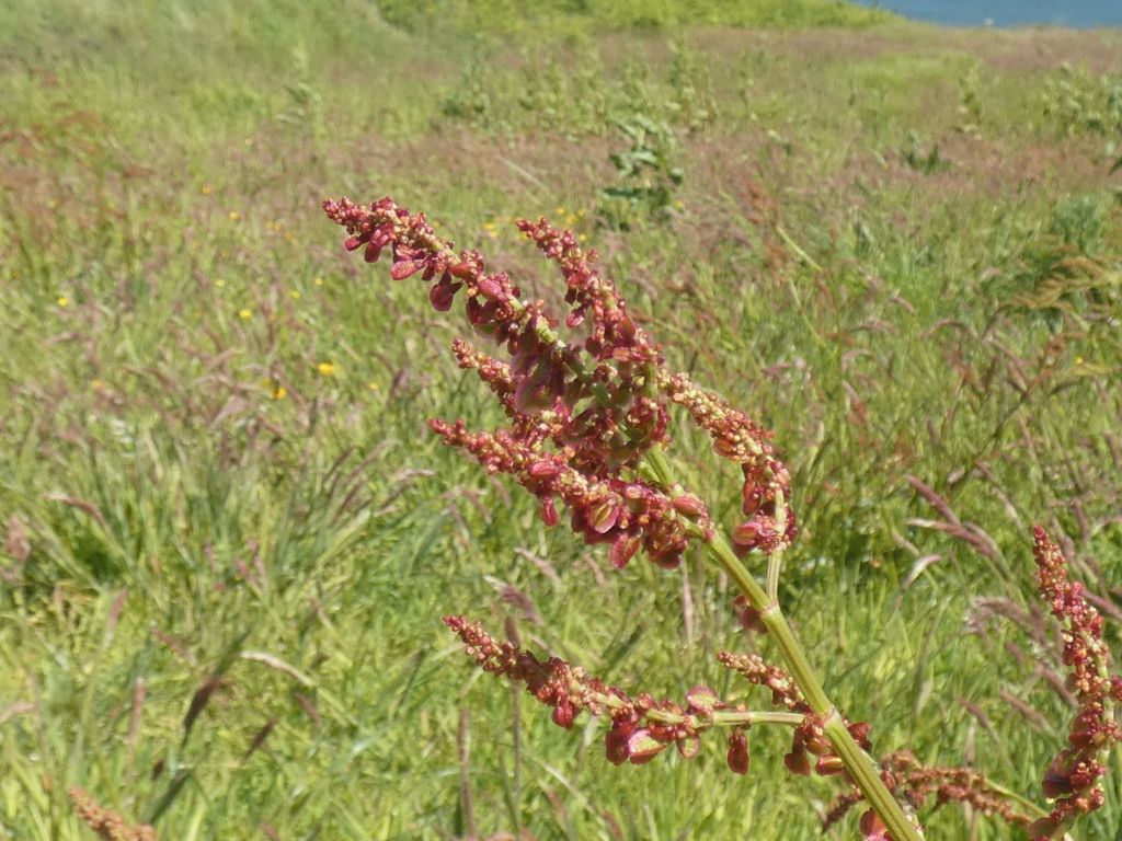
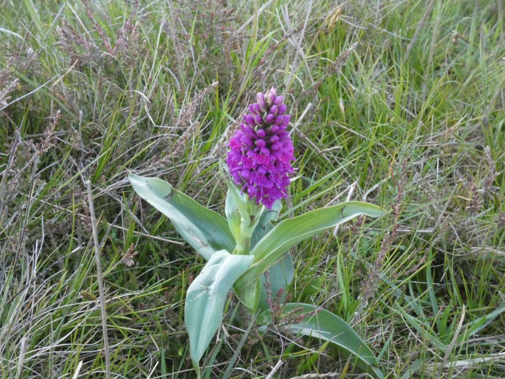
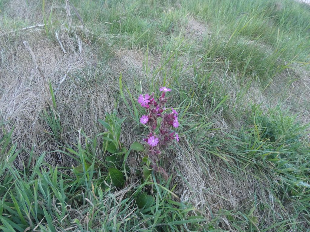
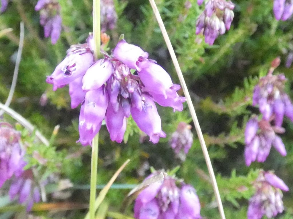
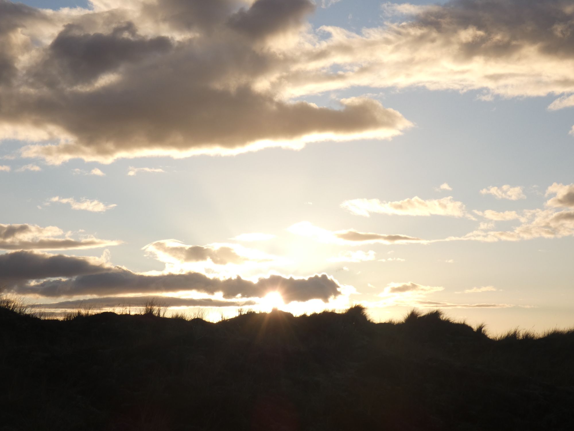
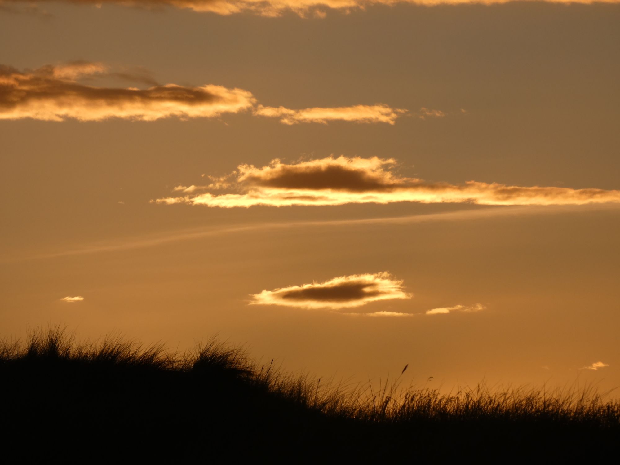
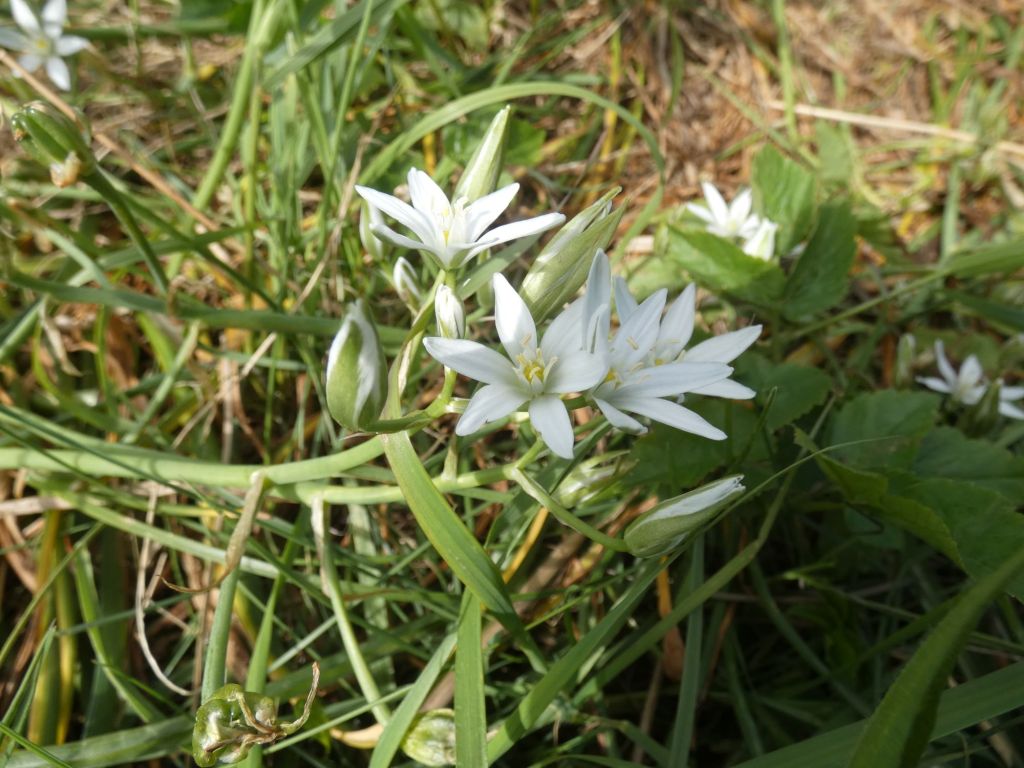
Hackley BayToday’s wildflower gallerySun setting over Forvie Nature ReserveThe end of a lovely day
I started the day with an excellent Eggs Stornoway (a Benedict with black pudding) at the Davron Hotel and ended it with a tasty Beefsteak pie at the Crudin Bay golf course. Not exactly rough living, and I won’t be losing any weight on this trip.
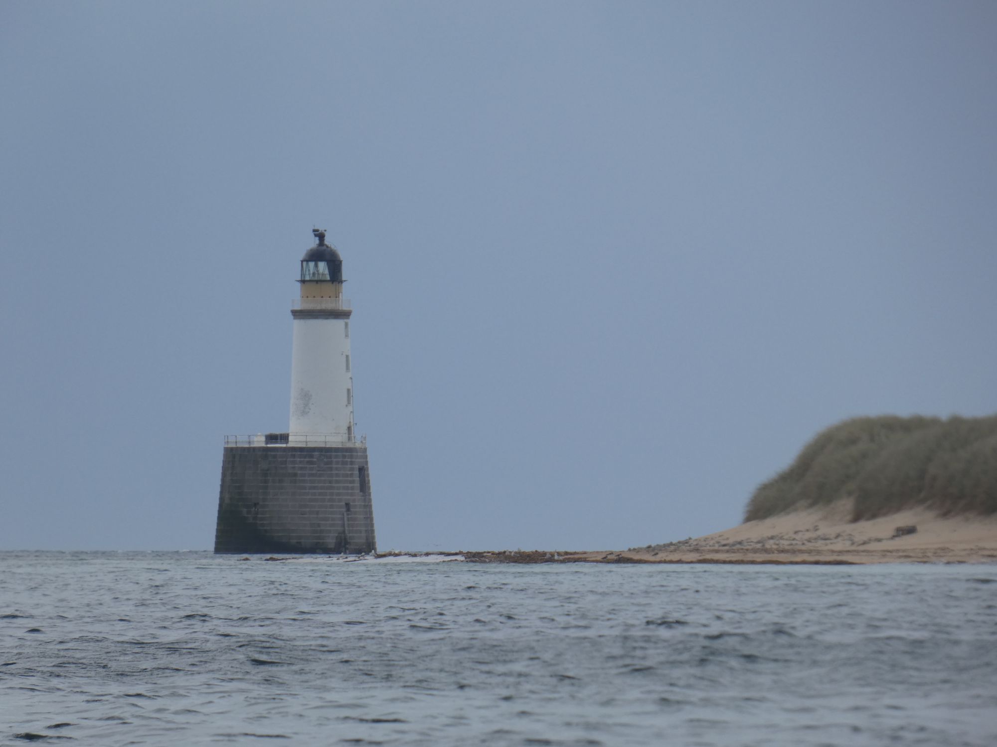
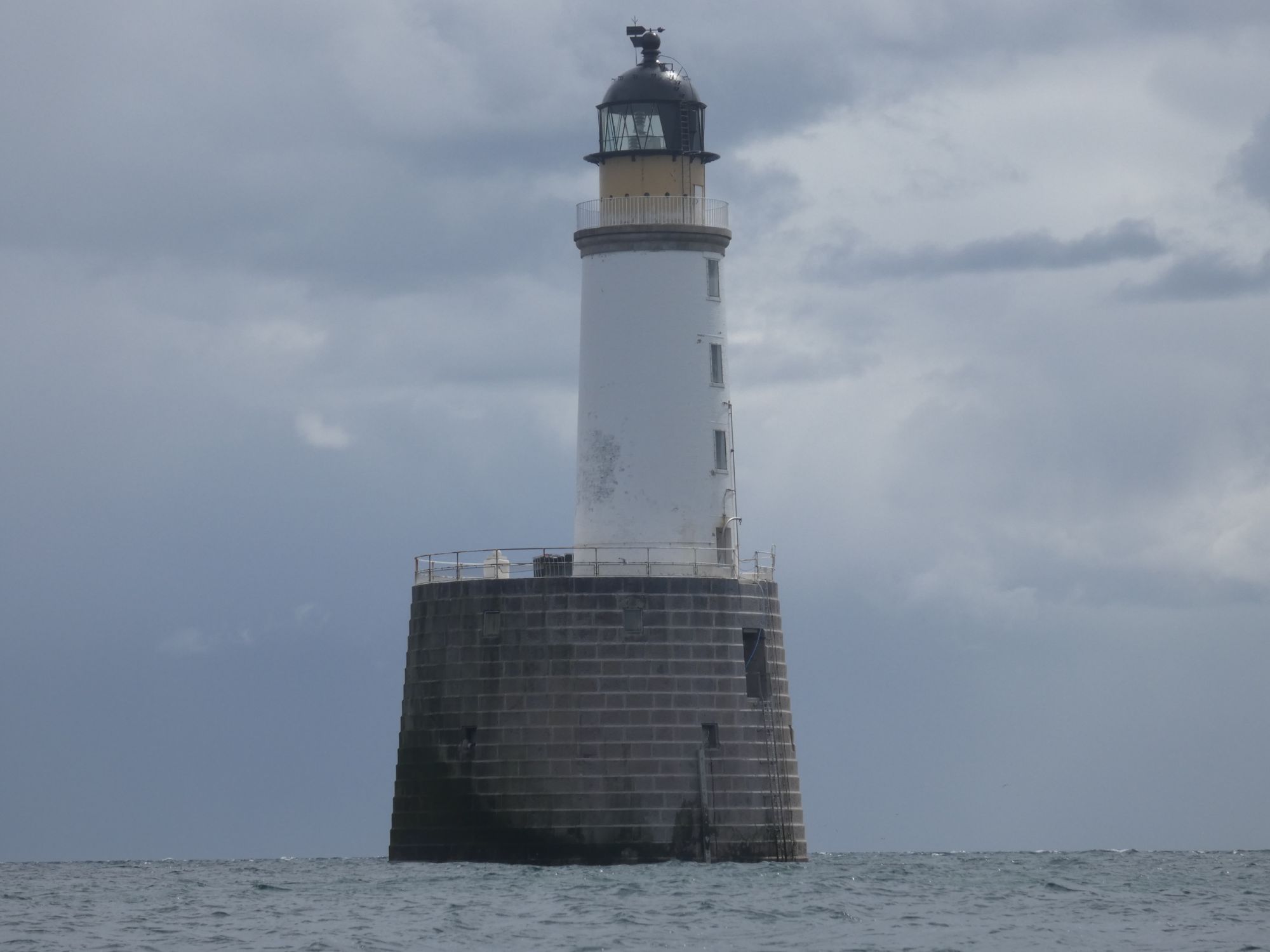
The weather and tide couldn’t have been any better for taking on Rattray Head. There was a slight offshore southwesterly that had taken all the swell away, and I’d have the southerly flood tide with me to Rattray. If I timed it correctly, this would just be easing to slack water at Rattray Head itself.
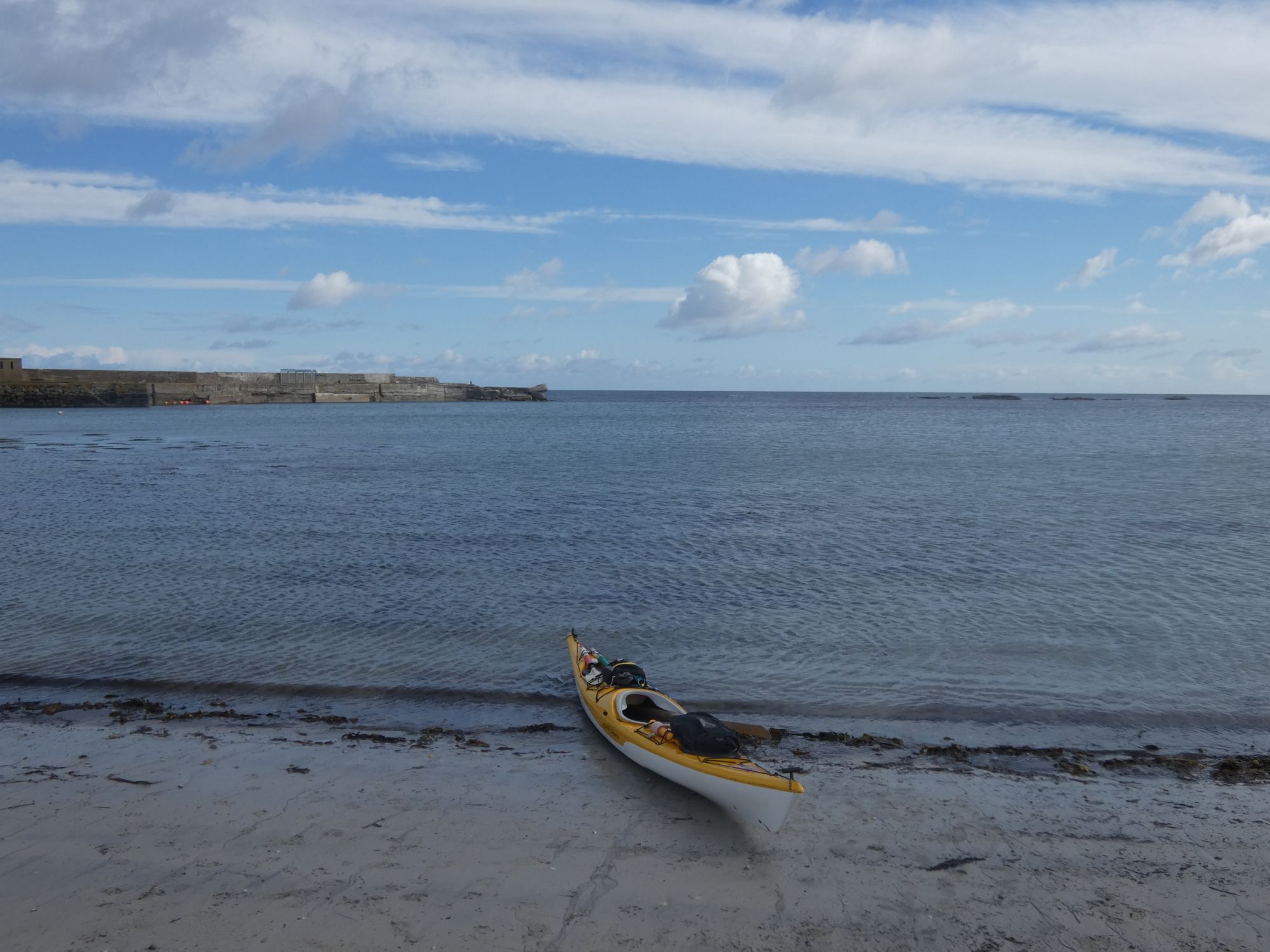
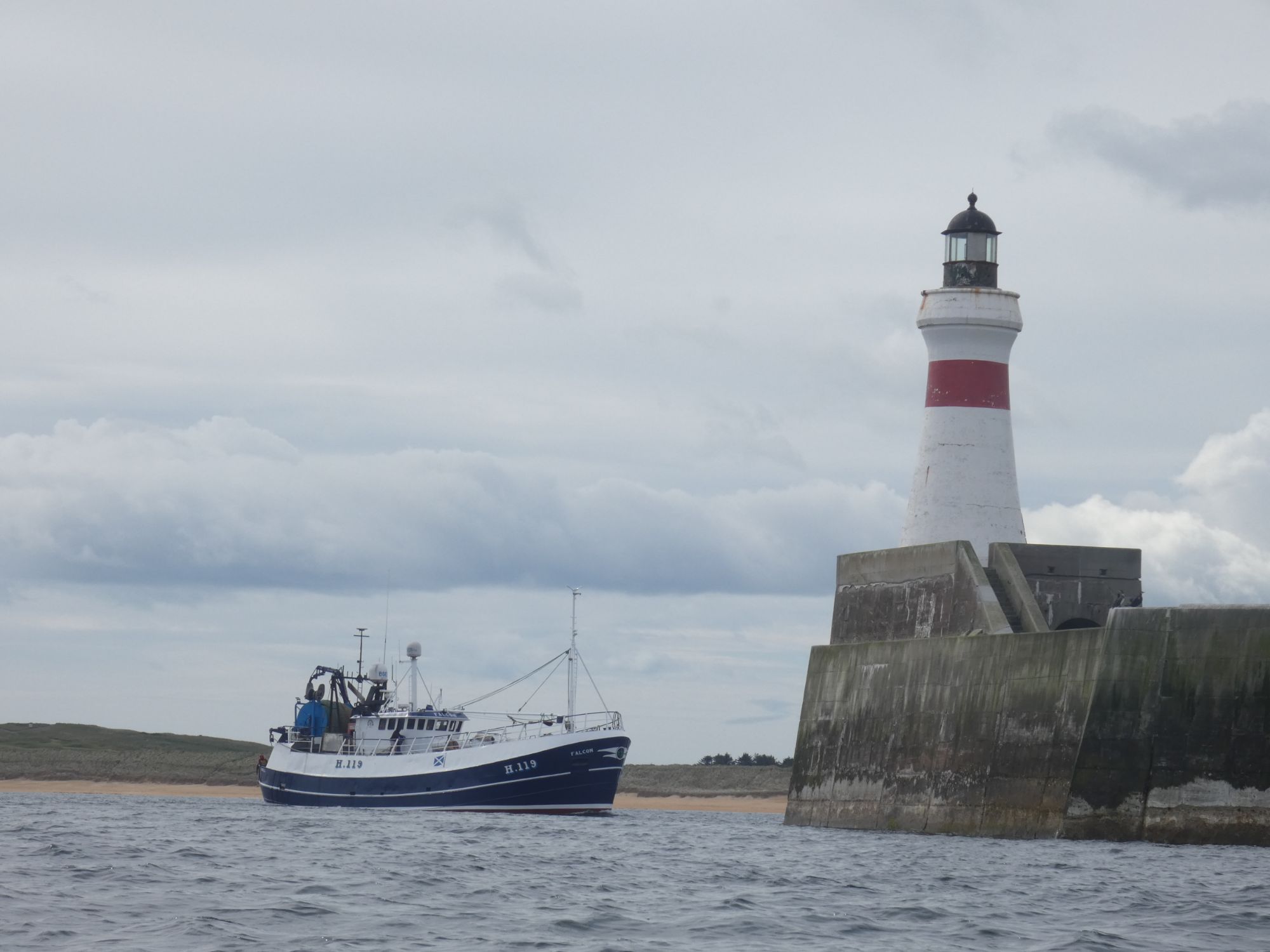
Rather than wheel the kayak back to the harbour, I set off from the beachCalm water to the eastKinnaird Head at Fraserburgh Fraserburgh town behind the harbour wallA fishing boat entering Fraserburgh harbour before I cross the entrance
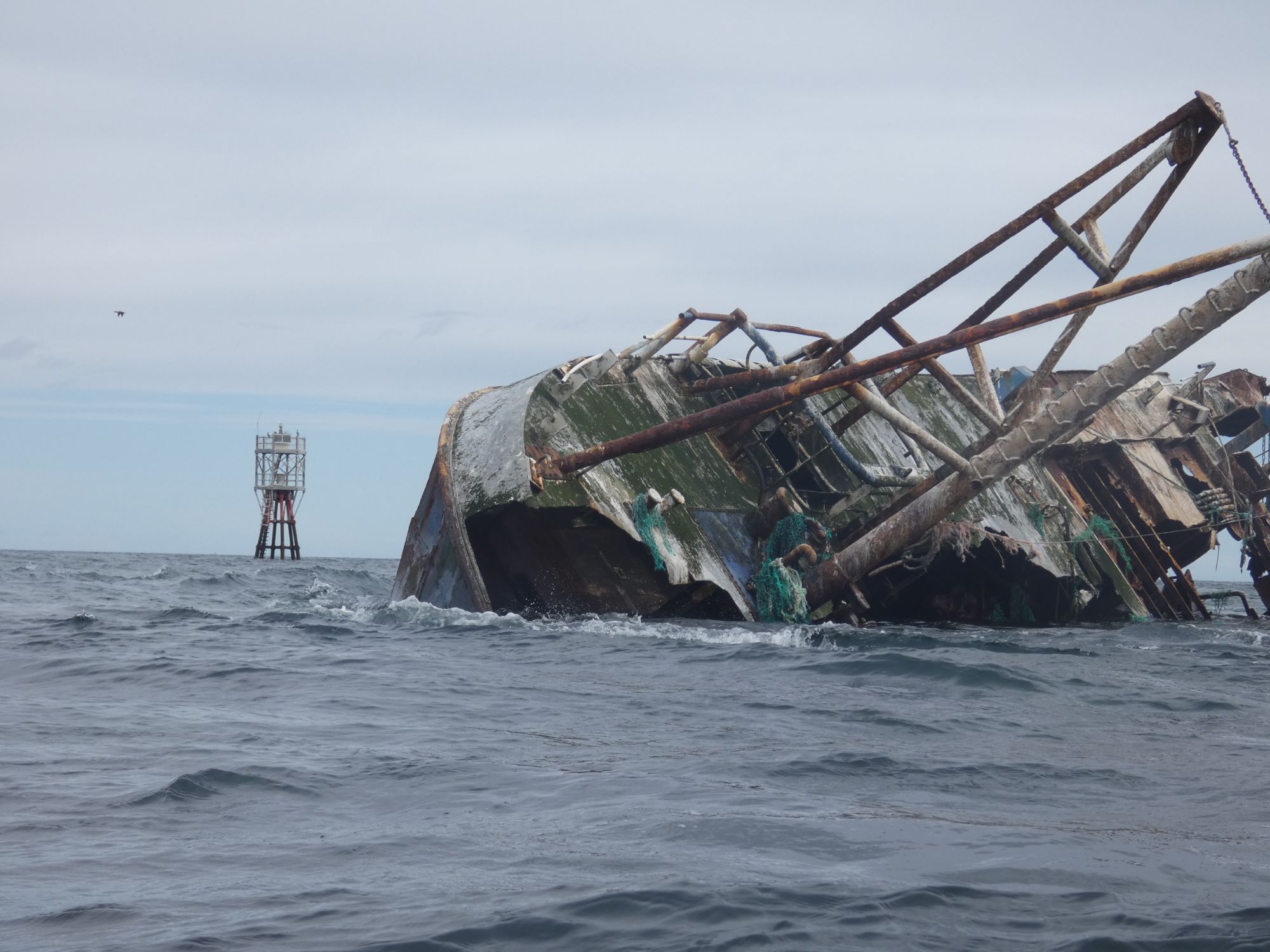
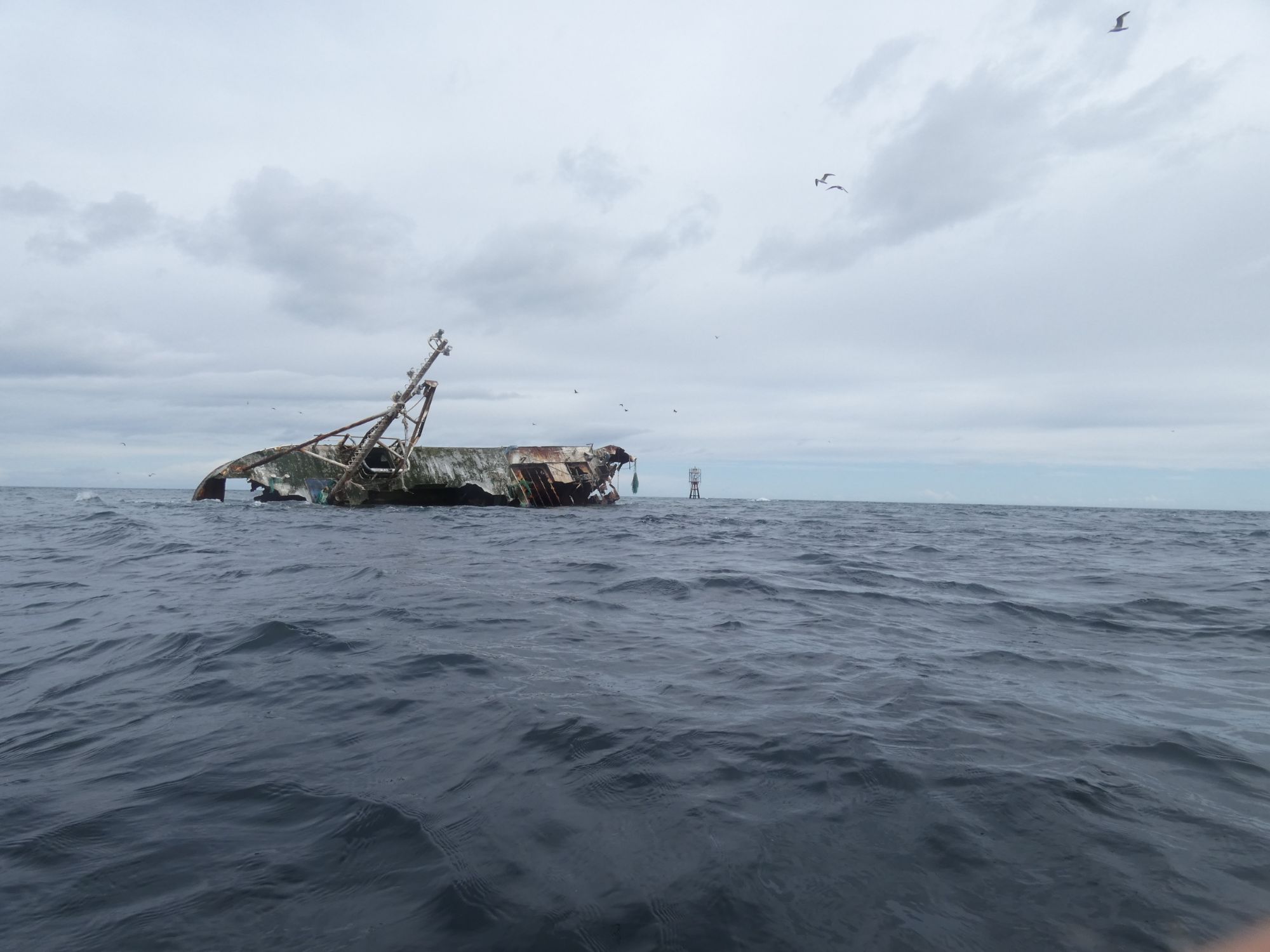
After Fraserburgh, I started to notice the effects of the current taking me onwards. At Cairnbulg Point, I was sped by the wreck of the Sovereign almost before I could get my camera out. I was doing 6 kph without paddling. At low water, this would be dry.
Once round Cairnbulg Point and past Inverallochy, I could see the Rattray Lighthouse 10 kms in the distance. I was keeping a kilometre out to sea to be sure I was getting the benefit of the tidal flow, but as I got halfway across the wide sandy bay, I noticed a large rain shower approaching from the east and the wind began to freshen. I headed closer to the shore to reduce my exposure to wind blown chop.
The wreck of the fishing boat, Sovereign, at Cairnbulg PointBehind me in a flash
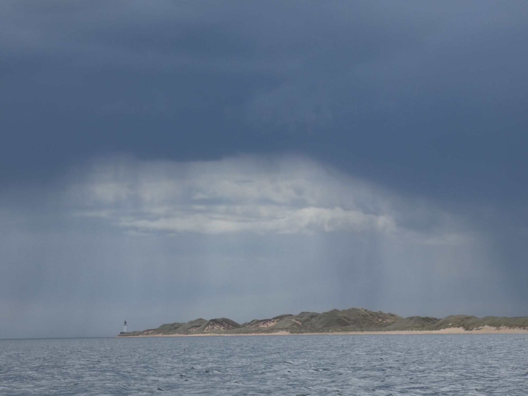
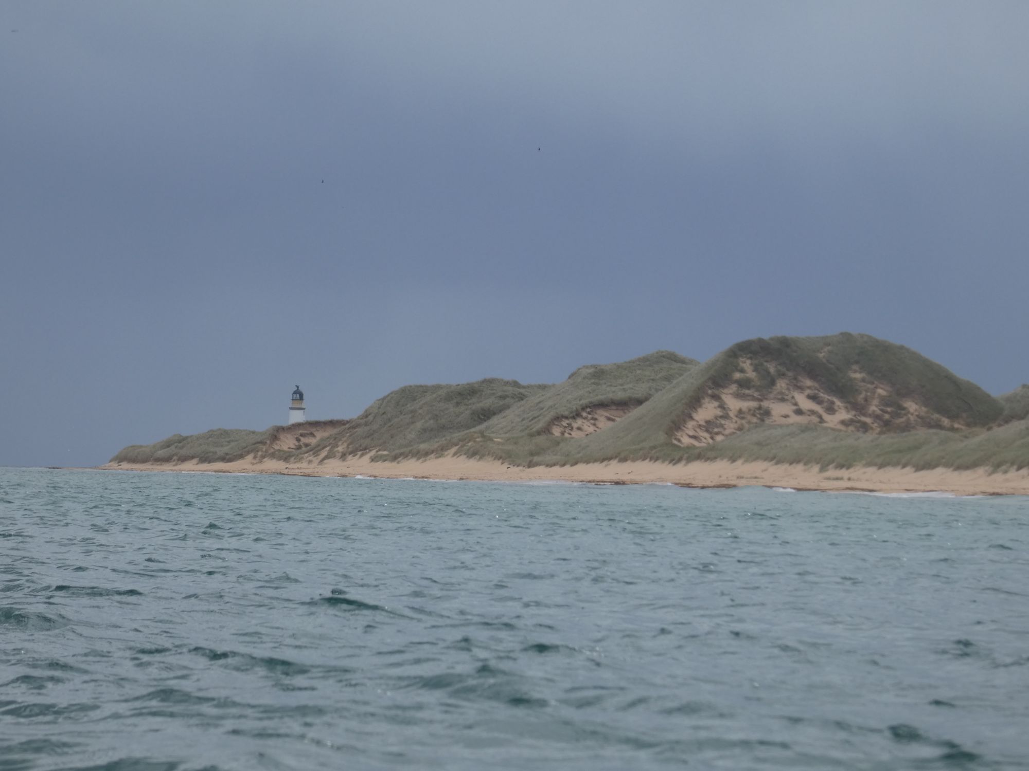
As I moved to the east, I expected my view of the gap between the lighthouse and the headland behind to increase. I was surprised to see it decreasing. Was I still being pushed out to sea, and was I going to be swept around the sea side of the lighthouse? It wasn’t until the headland aligned with the lighthouse that I realised the lighthouse was the further away of the two and that my expected transit was actually working in reverse.
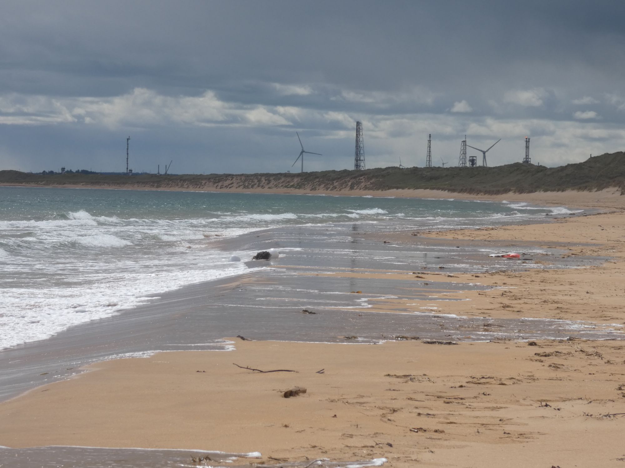
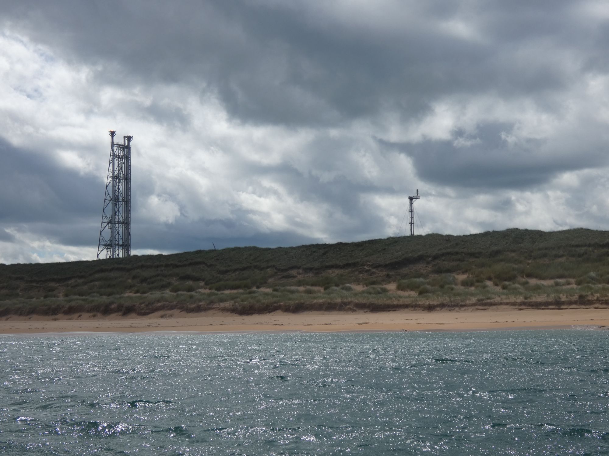
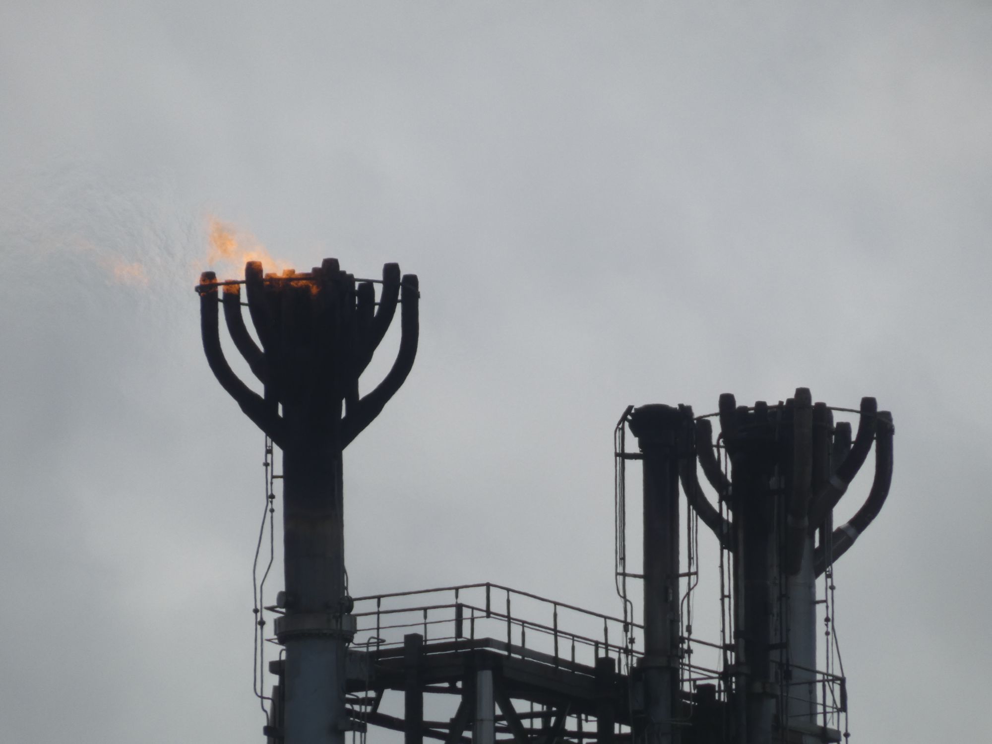
The rain shower passed to the south of me as I realised the headland was closer to me than the lighthouseThe dunes on the headlandThe calm waters of Rattray HeadVery little tidal flow at the base of the lighthouse Looking south to the gas terminalGas terminal flare stacksJust a low burn
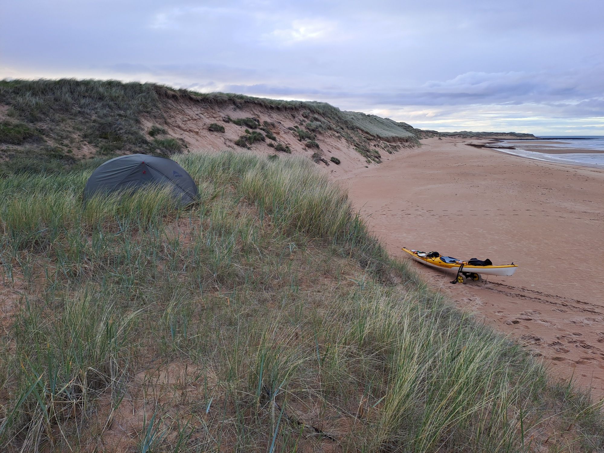
As I approached Peterhead, I made the decision to stop early and set up camp in the dunes a few kilometres north of town, not far from the 10th tee of the Peterhead Golf Course’s furthest hole. Nobody but a few dog walkers walked this far north of town.
Joyce, a long-time friend of my sister and the family, lives near Peterhead. She met me at the bridge over the Ugie and whisked me off to her golf course at Cruden Bay for an excellent dinner.
The idea that the town got its name from a traveller who “rose hearty” after helping a ghost find peace is less likely true than gaelic explanation, but I prefer the myth. I certainly slept well in the excellent Davron Hotel.
I ate two full Scottish breakfasts here, a haddock and chips dinner, and a carvery mountain of food on Sunday. All was delicious. The staff were all genuinely friendly and appeared to get on great with each other.
On my arrival on Saturday evening, my kayak was welcomed into the beer garden as if it were another paying customer.
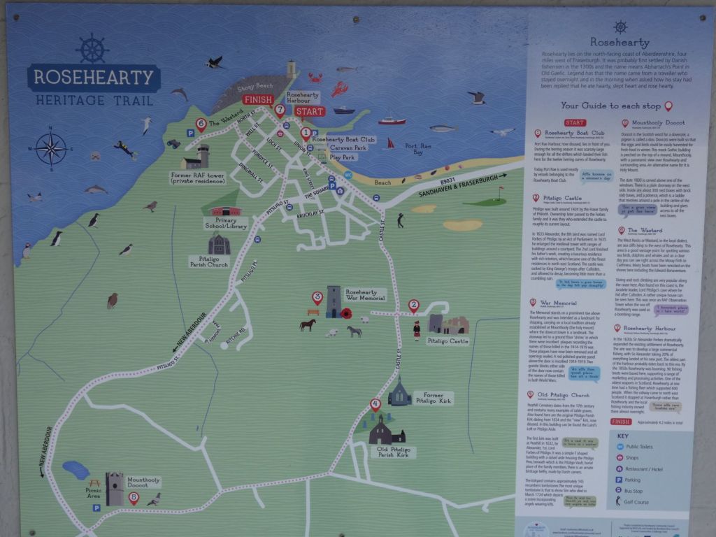
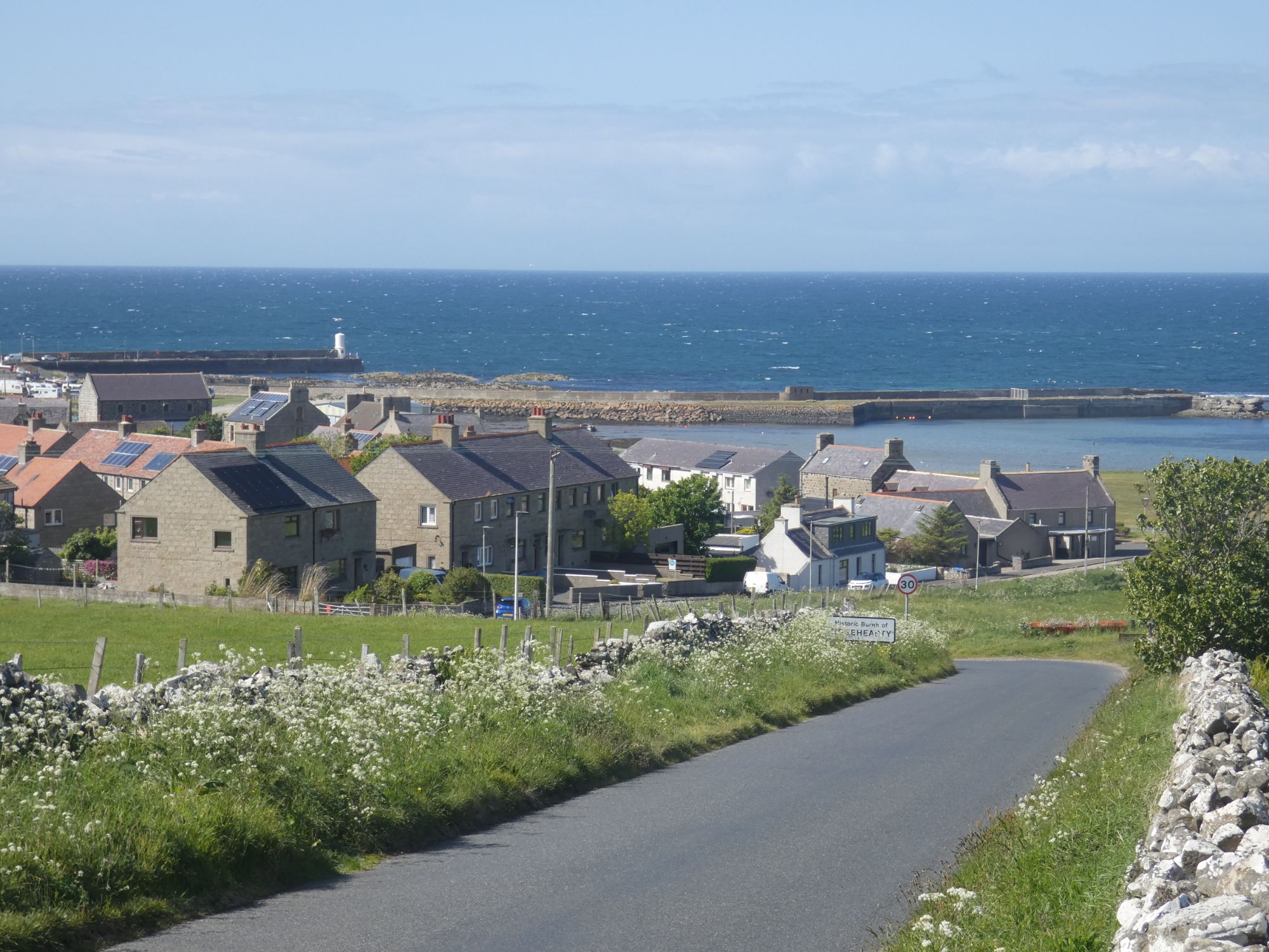
The wind and sea state were a steady F5 all day, so I was happy with my decision to take a weather day. It wouldn’t have been pleasant in a kayak at Rattray Head. Instead, I opted to take the four and a half mile hike along the Rosehearty Heritage Trail with its delightful information boards.
The start of the trail
Before I had made my hotel reservation, I had checked to see if the town had a campsite. My old OS map indicated it did, but Google Maps showed no sign of it. On my arrival, I saw camper vans on a grassy area next to the Community Boat Club, fifty metres from the start of the trail.
I had a pleasant chat with Peter, one of the founders of the camping area, outside the Boat Club clubhouse. After the original commercial campsite closed down, the club took it on as a Motorhome Aire. The club is a registered charity, and motorhome owners can become temporary members for the small daily fee of £10 that entitles them to a spot on the grass. Unfortunately, tent owners are not given the same welcome, as previous tent owners on two wheeled motorised vehicles had been known to abuse the privilege. Peter did indicate that, under rare circumstances, this rule could be overlooked.
Some pictures from the Heritage Trail (walked in reverse direction):
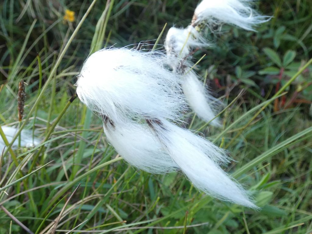
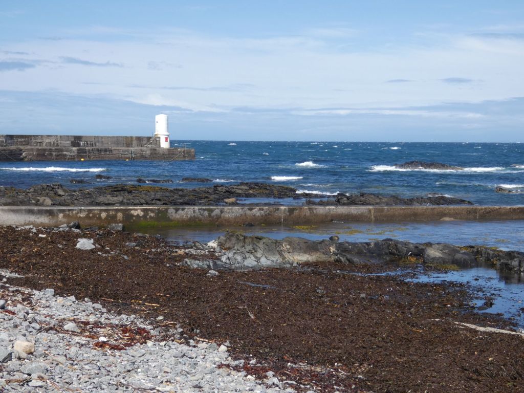
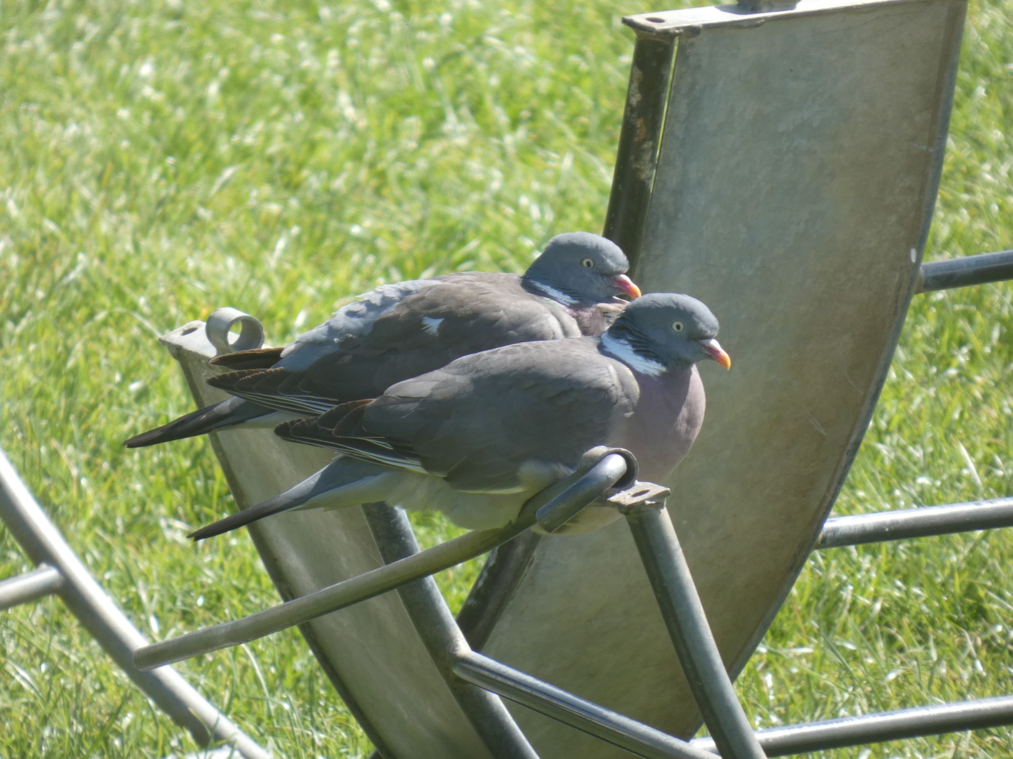
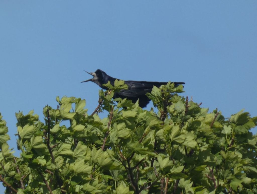
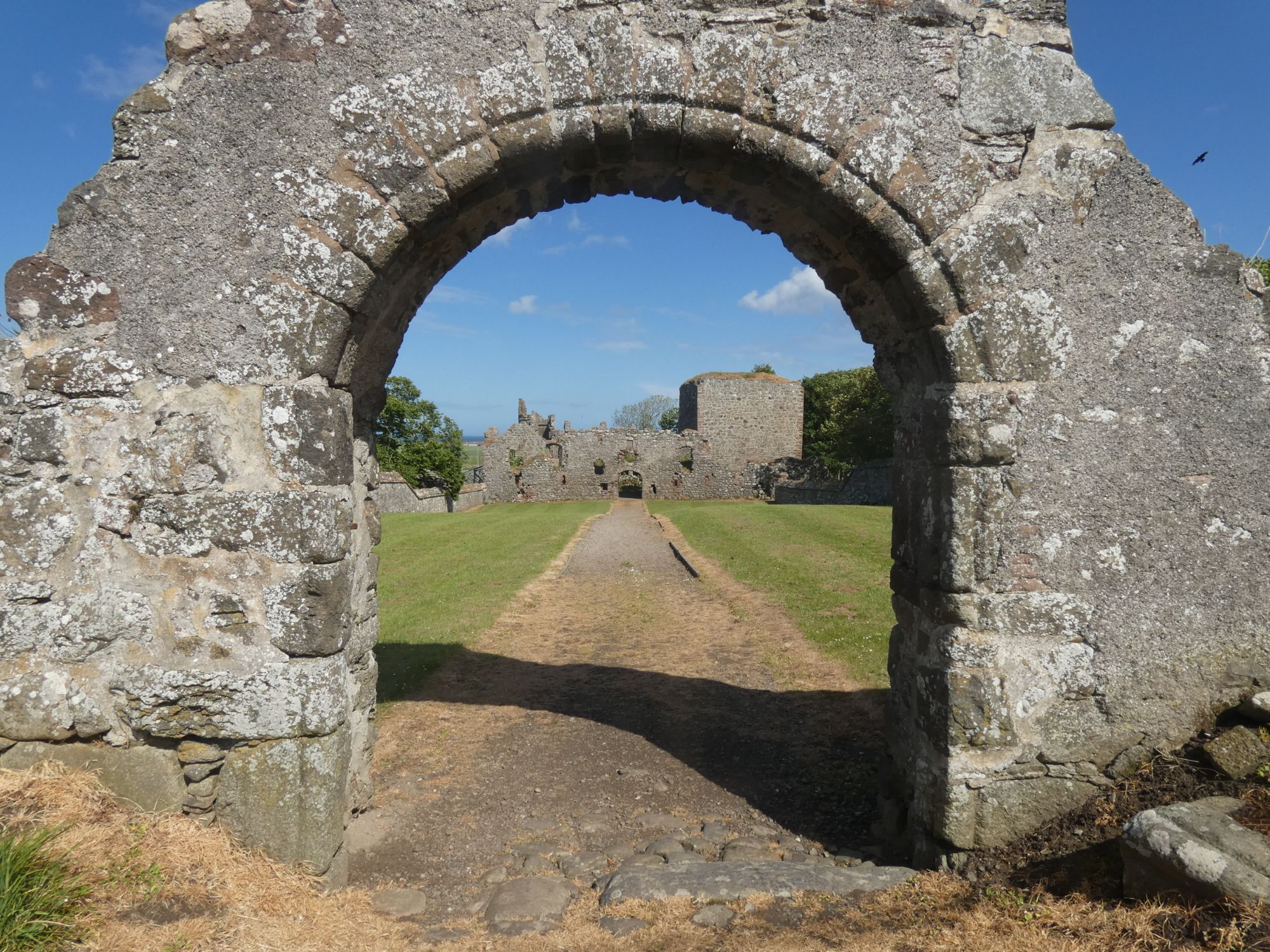
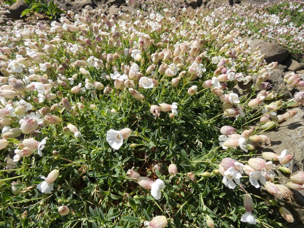
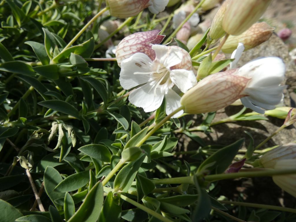
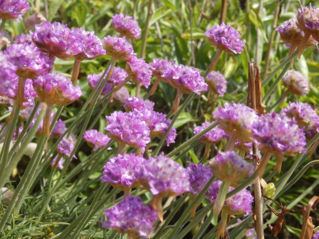
Looking towards the harbour entranceRosehearty HarbourAn old RAF bombing site observation tower that has now been incorporated into a private homeInteresting driveway inhabitantsMust have been a big high tideThe doocotThe old and the newAn interesting rural perch for wood pigeons I see you, but can you see me?The old and the former Pitsligo KirksThe old part of Pitsligo Kirk graveyardOne of many rooks in a noisy rookeryPitsligo CastleRoseheartyThe flowers on my walk
Since leaving the Caledonian Canal, I have frequently referred to the excellent East Coast of Scotland: Sailing Directions by Andy Carnduff. It was quite opportune that Rob, one of my kayaking partners from the Ireland trip, had bumped into the author in Aberdour in Fife at the end of last year when I was just starting to plan for this trip. I instantly snapped up the offer of a reduced price copy.
From my last four days’ experiences, I can testify to the accuracy of one of his early paragraphs in the introduction to this part of the coast:
“When northeasterly winds blow, the fetch from Norway allows substantial swell to rise. This is fine while in the open Firth but approaching the shore the swell converts to what can be frightening breakers. To minimise any effect of the swell within the harbours, most entrances are parallel to the shore, allowing the swell to sweep past, but the boat entering must temporarily lay beam on to the sea and suffer a side thrust of surf, just at the time when precision of course between stone harbour walls is critical. The first couple of such experiences lend urgency to quick learning! And there is always the consideration that another vessel may be trying to exit the harbour into the same wave.”
I was happy that the swell was now much reduced and that an entry into Banff Harbour and a cooked breakfast was on the cards.
Getting ready to leave its pontoon home for the night Goodbye to the marina yachts
I packed up my Whitehills rough camp early and quickly and made the short paddle to Banff. At first, it felt like I was paddling in treacle, but I soon realised that it was just the way I was paddling. Yesterday’s paddle in clapotis had given my body a full core workout, and it took a while for my back to relax and body rotation to resume.
I pulled into Banff Harbour around 7.30, just as the marina toilets were being opened by a woman who assured me I’d have no problem getting a cooked breakfast here, though I may have to wait till 9.
Away from the rising tide in Banff outer harbour
After making sure my boat was well away from the rising tide, I walked into Banff and found an open bakery where a cheerful woman served me a full Scottish breakfast and a large tea that I could eat in the comfort of a small table by the window. I also bought some local butteries and demerara shortbread to eat as snacks later. Life was good again!
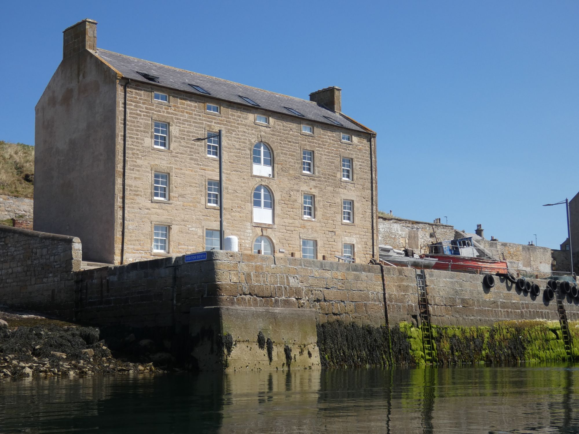
Banff inner harbourLooking out towards harbour entrance on the leftWalking towards Banff centre for my bakery breakfast
I was soon on the water again. Paddling east past Macduff and an unusual building, which I learned soon after, via an unprompted message from David, was a disused swimming pool.
The coast from here on to my finishing point in Rosehearty was spectacular.
Disused outdoor swimming pool east of MacduffCreel boat taking advantage of reduced swellHead of Garness with Troup Head in the distance
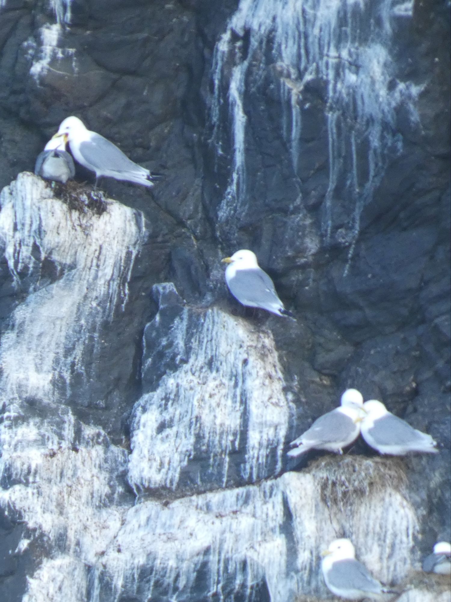
I was at first disappointed by the lack of seabirds on the early cliffs. It seems to me that the bird flu has impacted some species more than others. The guillemot and razorbill nesting sites looked sparsely populated, and the usual noisy bustle for space was almost silent. Few fulmars were flying about, but their numbers did pick up when I got further on past Pennan. The kittiwake colonies, however, appeared to be doing quite well.
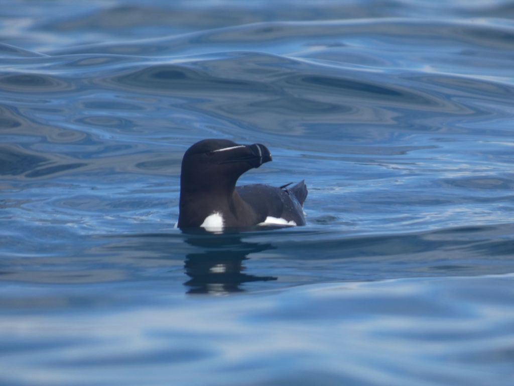
Nesting kittiwakesOn the inside of an interesting pinnacle. Shags. Black-backed and herring gulls.One of the many razorbills floating aroundTaking the inside passage. At the end of which I earned myself a cup of cold sea water down the open neck of my cag.
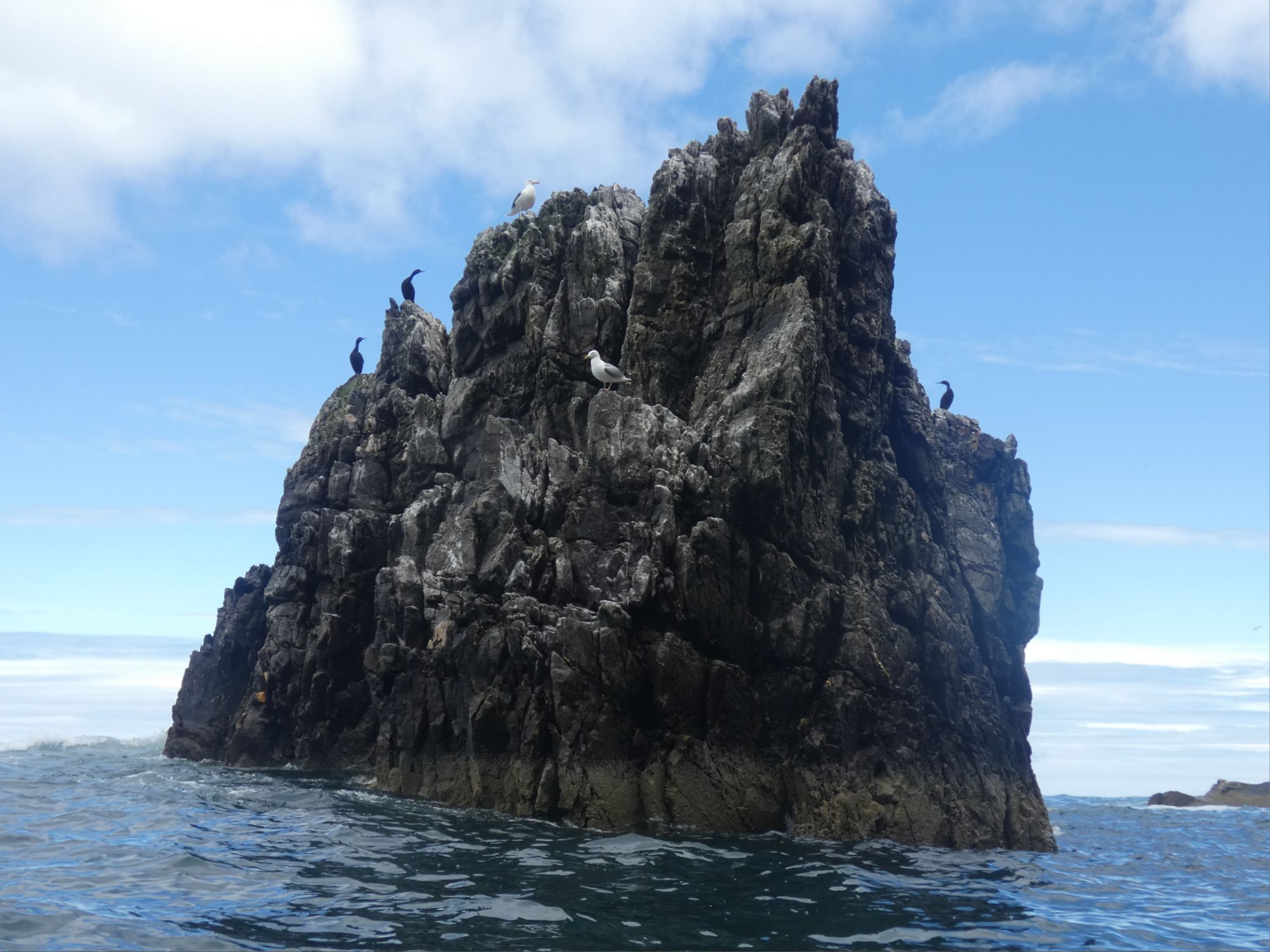
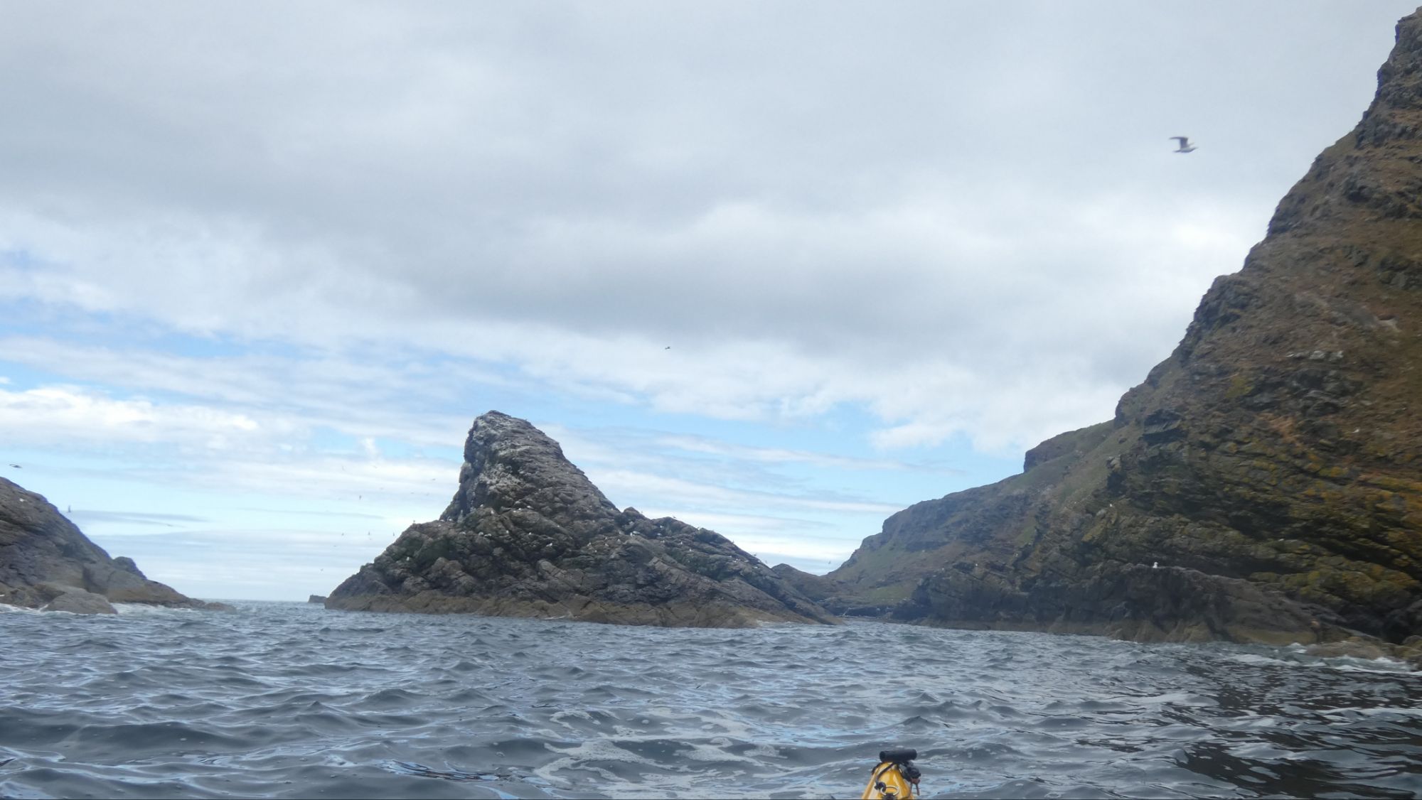
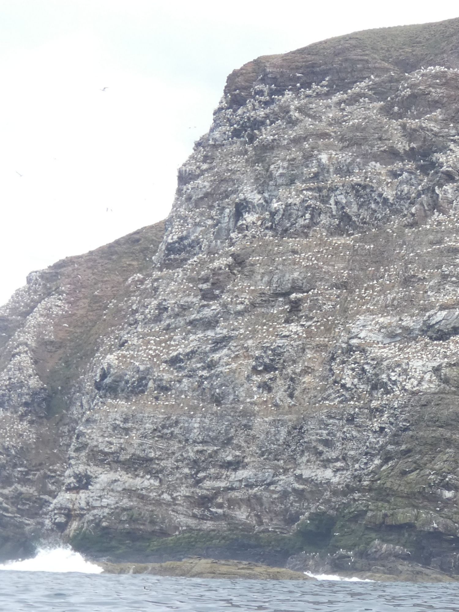
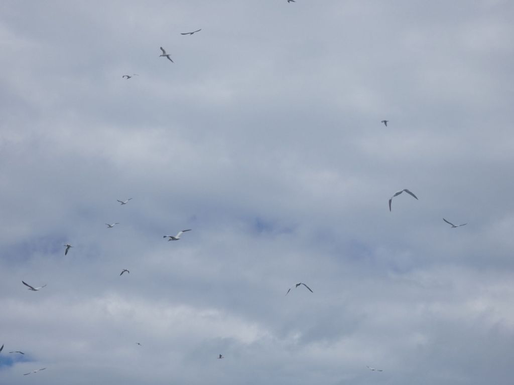
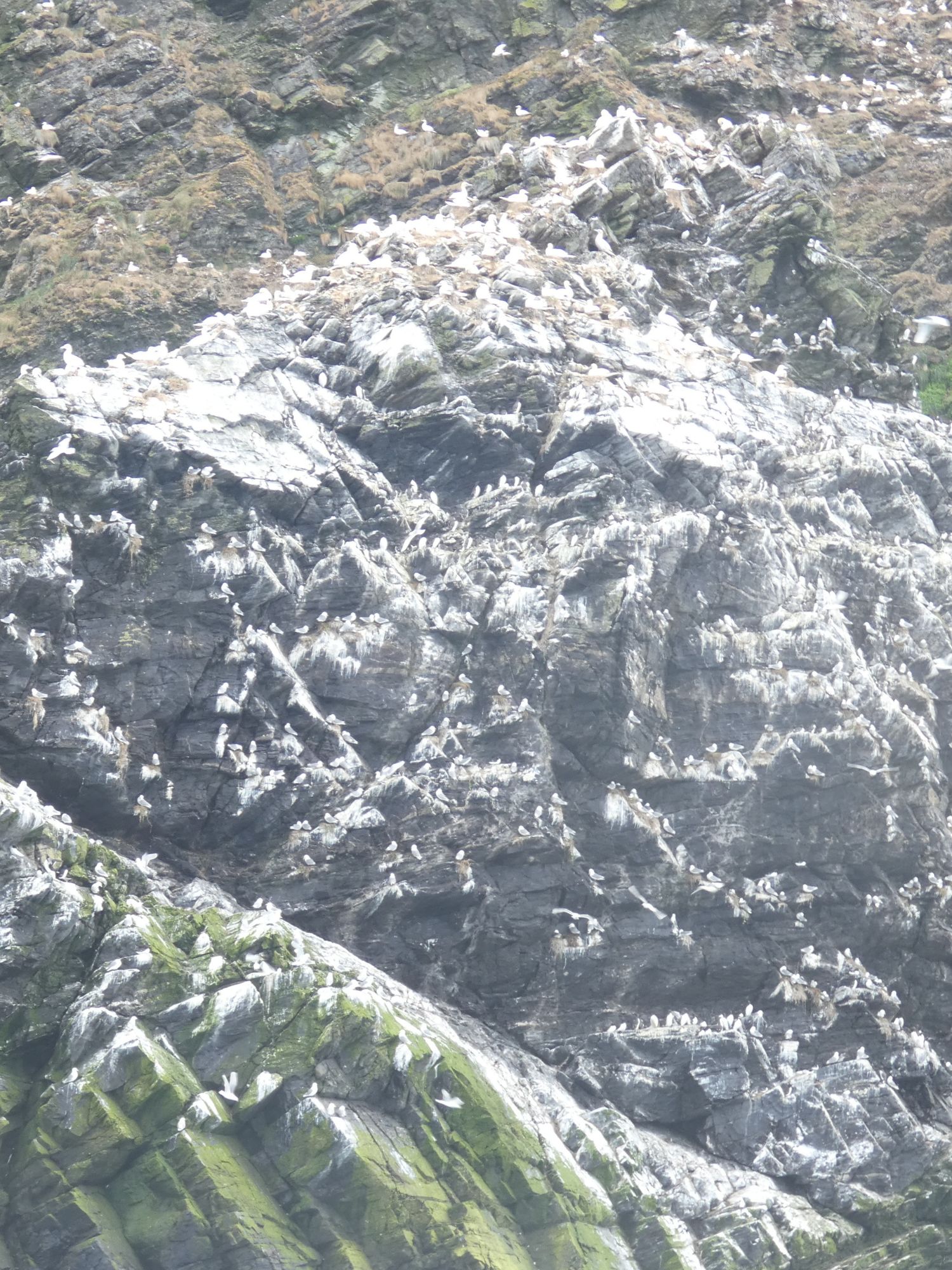
When I reached Troup Head, all changed. I spent 15 minutes just drifting in my kayak, watching the birds swirling overhead. A huge number of gannets nest here, and for some reason, I wasn’t aware of it until I arrived today. I’ve since learnt that it is a relatively recent colony with the first birds only arriving in 1988. The estimate from 2014 of 6,500 breeding pairs seems to be well short of the numbers there now.
A small part of Troup Head gannet colony. Every white dot is a gannet.Gannets swirling overheadA hierarchy of guillemots on the bottom, kittiwakes in the middle, and gannets on top.
Many gannets appeared to be carrying seaweed as nesting material, but I couldn’t work out why some were heading out to sea with it. Clearing old nest material? Going out to give it a wash? Who knows.
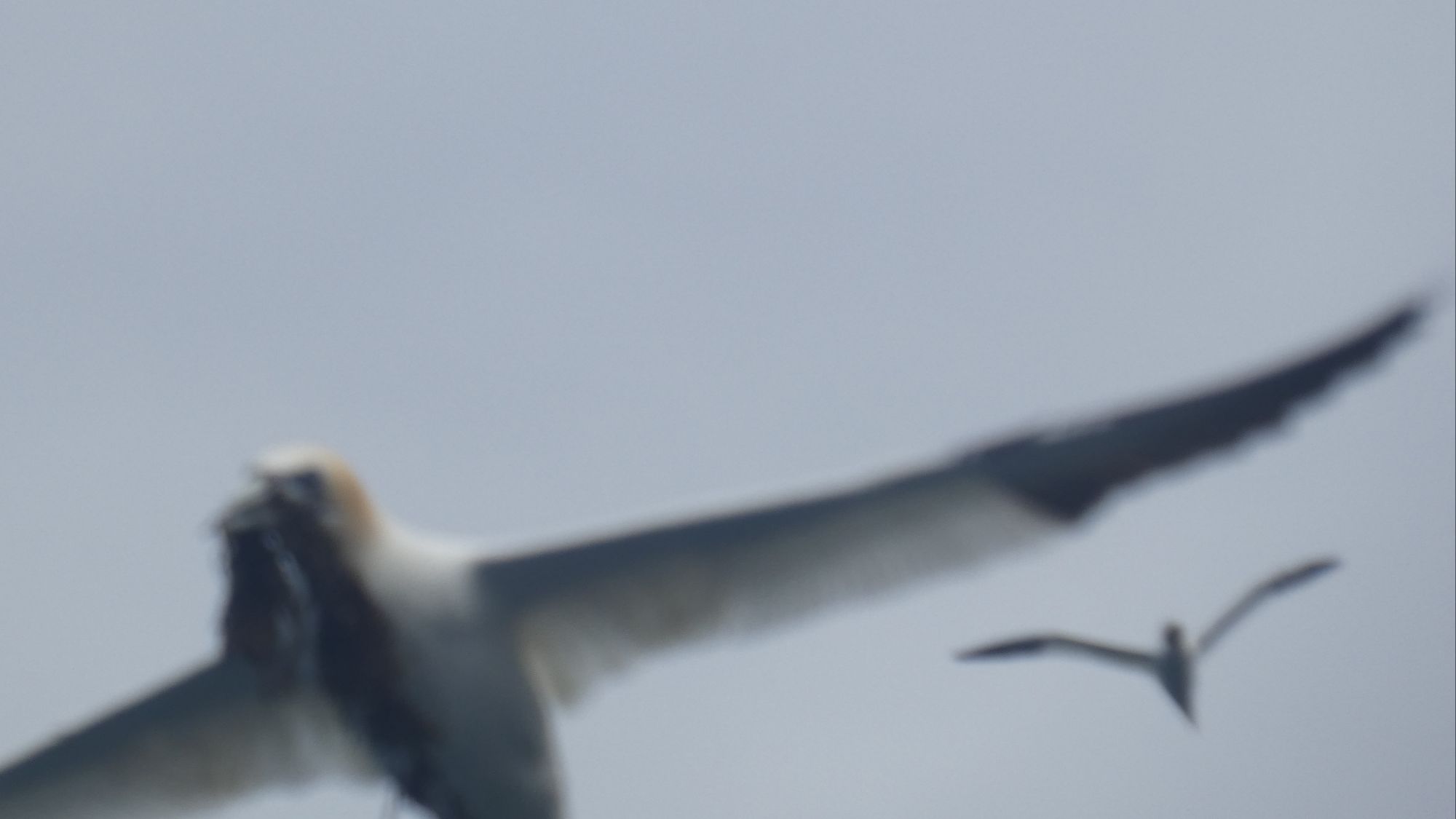
One of many failed attempts to capture a gannet in flightResorting to digital crop
I reluctantly resumed my journey as I still needed lunch, and I had a fair way to go to get to Rosehearty.
I stopped at the small harbour in Pennan. A place I’d been a couple of times before, and the filming location for the phone box in Local Hero.
The entrance to the harbour is on the left and away from the surf that rolls in in the rest of the bay
I ate my lunch here, sitting on the sunny harbour wall chatting to Greg and Lindsay, who were over for the day from Elgin with their kids. They were mastering their paddleboard (and swimming) skills in the calm harbour waters.
The lovely little Pennan Harbour
There is a dramatic change to the rock that makes up the cliffs to the east of Pennan – a deep red old sandstone – and some of the formations are other worldly. I may have got too engrossed in the Expanse sci-fi book series, but I’m sure some of them were about to hum into life with alien technology.
All different shapesAn alien withinA tiny whole at the bottomZoomed in
It was after this section of coastline that young fulmars became more numerous. They are often quite curious and will fly straight at the kayak only a foot or so above the surface, veering elegantly at the last minute to seek out more interesting morsels.
Who are you calling tube nose!Fulmar in flightArriving at Rosehearty
I have two nights at a hotel booked in Rosehearty, so there is plenty of time to investigate the history of this peculiar building.
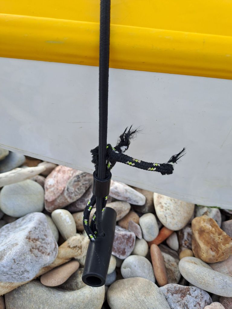
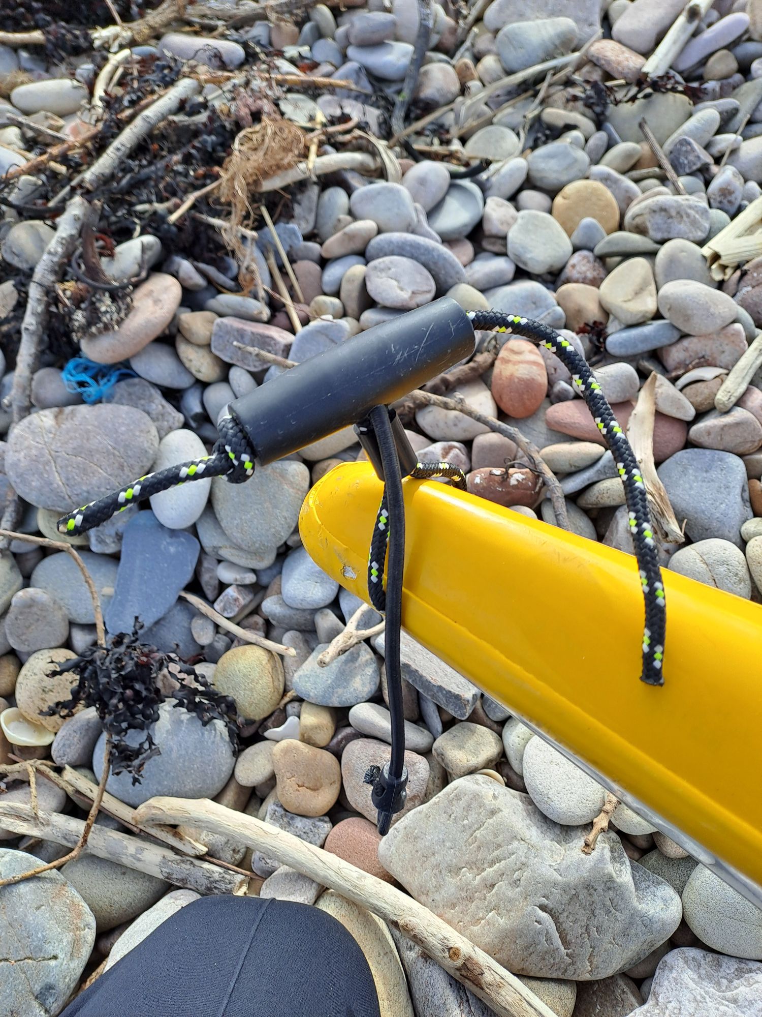
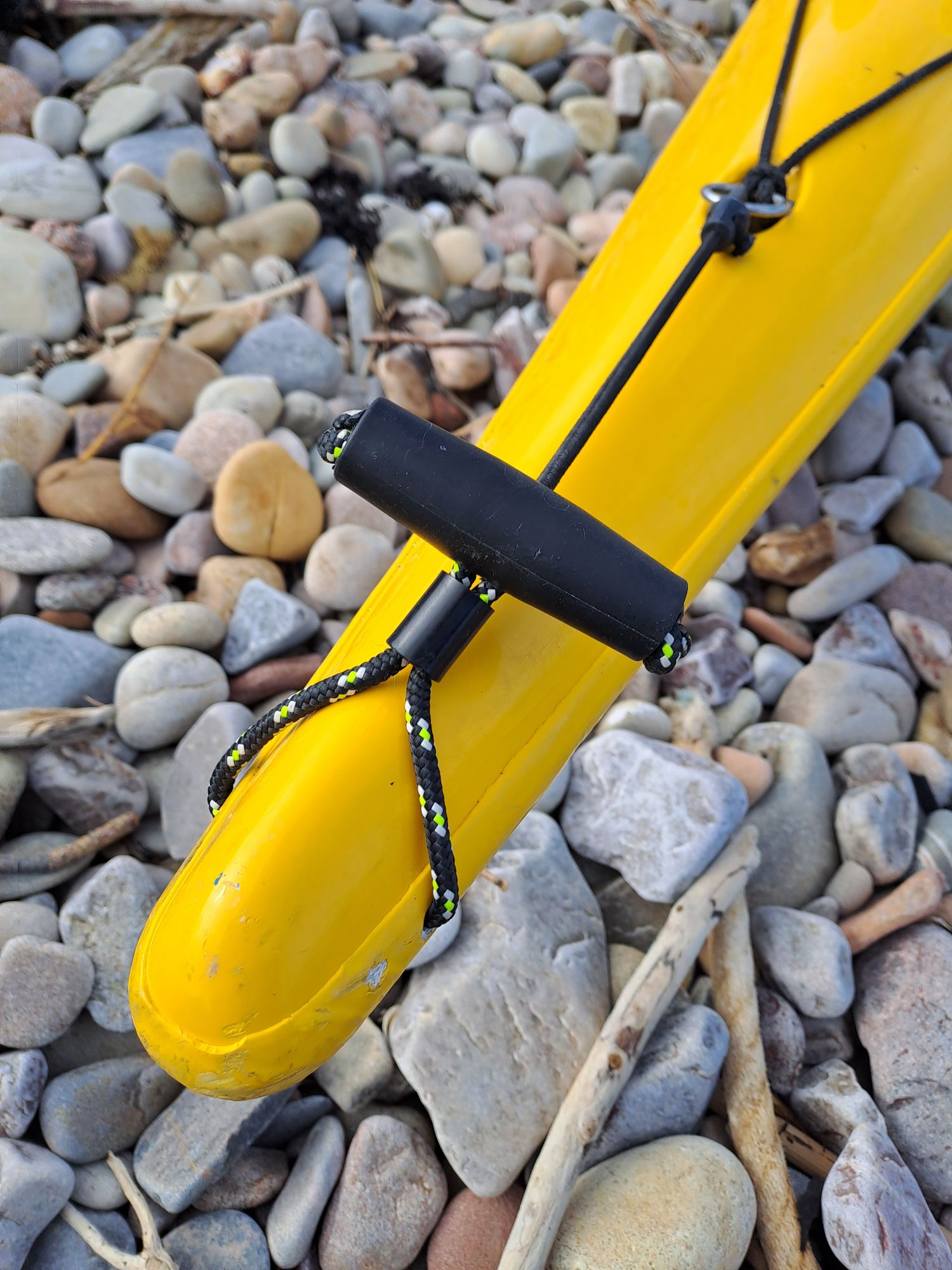
Before setting off today, I needed to replace the rope on my bow toggle. It broke when I was pulling the kayak up the ɓshingly beach yesterday. I should have replaced it earlier as it had been fraying for a while now, but it’s a fiddly little job that I kept putting off.
Getting the old knots out of the toggle proved to be the hardest bit. I think I made use of all of the blades on my Leatherman multi-tool, plus some drift wood sticks found lying on the beach. An hour had passed before I was satisfied with the final result.
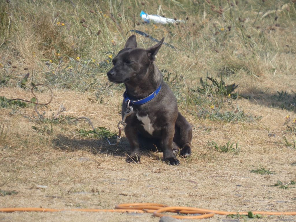
The broken ropeAlmost thereCompleted at lastMr. Yappy
It was almost 11 before I finally set off, and a happy Mr. Yappy gave his final yap of farewell.
About to leave Portgordon
The north easterly winds were light, and the swell was much reduced from yesterday, but it was still not a day for getting the camera out often.
Buckie Harbour entrance and sea wall
As I passed the sea wall beyond the entrance to Buckie Harbour, the reflected waves were often just as big as the incoming ones. This clapotis was to be a varying but constant companion throughout the day with the cliffs and headlands to follow. It would range from the feeling of a slightly unsteady walk back from the pub to a full-on fairground waltzer with an added vertical component.
Findochty. Or was it Portnockie?
I had my GPS on, but was really only using my map to navigate. Ticking the little headlands off in my mind as I went. I had considered looking at Cullen for a safe landing spot and a place to have a bite of lunch, but somewhere along the coast, my mental headland count had got out of sync with reality.
A photo of Cullen, which I passed without realising I hadOne of many little headlands
It was only after three hours of paddling that I started to question my slow progress of only 10kms that I consulted my GPS. I had actually done 18kms and was well past Cullen.
The waves crashing into Sandend Bay didn’t at first sight make it look like an attractive landing spot, but as I moved in closer to shore, I could see a calmer area on the eastern shore. It was a rocky shoreline, but I was fortunate to find a little channel wide enough for the kayak that ended on a small sandy beach. The perfect lunch spot.
My next stop at Portsoy Harbour was soon after lunch and not really necessary, but as the entrance looked navigable, I thought I’d pull in there for a look. I chatted to a fisherman who was taking advantage of the low tide to examine the chains of his mooring. Although the harbour was a fine summer haven, no boats stayed for the winter. The high walls looked imposing, but many a boat had been sunk in a storm when the seas piled over. One corner was even nicknamed the “death trap.”
Portsoy Harbour west wallPortsoy Harbour east wall. Death trap at the far end.
I enquired about the next two harbours to come, Banff and Macduff, and was told to watch out for every third wave at Banff. This rule had served him well over the many years he had used it. Until the one time it didn’t – the fourth wave got him!
However, he also told me about Whitehills, a harbour before Banff that I hadn’t considered. This one would be easily accessible in the current weather conditions. As it was now late afternoon and starting to cool down, I decided to take his advice and head there.
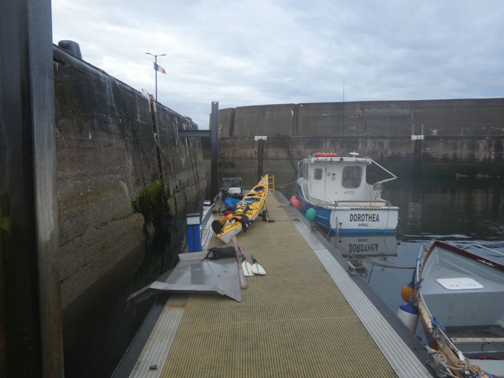
Pulling into the Sandhills Harbour an hour later proved as simple as he had said. The journey from safe haven to settled campsite was a little trickier.
The harbour was more a yacht marina than a small fishing harbour. There was no slip, only pontoons. I tied my kayak to a pontoon and went to investigate possible campsite options. Nothing looked promising within easy walking distance. One young girl said I could camp in her garden, but her mother wasn’t quite as keen. The girl was still keen to help, though, and we eventually settled on an area of rough grass close by. Later mumbled comments from passers-by suggested that not all the locals were quite as keen as she was to see a tent erected there.
I also received helpful advice from local onlookers as I unpacked my kayak – “yae cannae leave yoor boot there” and “belongs in a skip, not here.” However, when I left the pub a few hours later, one of the older men who’d witnessed the incident pulled over in his car when he saw me and apologised on behalf of the village for the behaviour of some.
I’d missed food time in the pub and didn’t feel I could get my stove out by my tent so settled for a cold dinner of snacks and fruit before settling in for the night.
The sound of the surf had been a constant companion as I lay in my tent, so it was no surprise to see it piling into the beach when I extracted myself from my sleeping bag.
Today, I was to be joined by David, the experienced member of “The Team”, and Mike Devlin, a hugely experienced kayak guide. They were both on the way back from leading Wilderness Scotland clients on a kayak adventure in Uig and Arisaig on the West Coast.
When they arrived at 9am, the Beach Hut café was still shut, so we ventured into the Moray Golf Club clubhouse for a coffee. Our scruffy paddling clothes would not have been suitable attire for a round of golf, but the clubhouse staff made us feel very welcome.
Here, we discussed our paddling options, and the conclusion was that none of us fancied going out in the current conditions. The forecast gave no certainty that things would be better tomorrow. Mike departed back to his home in Forres and David to Edinburgh – both to make better use of their time, rather than hanging around waiting for the weather to change.
The surf forecast
Before David left, we took a short drive over to Lossiemouth Harbour on the east side of town. The scenes here only reinforced our view that we’d made the correct decision.
A powerful breaking waveThe view looking east across the Spey Bay
I had time on my hands now, so I walked back through town and along the front. I stopped for a relaxed breakfast in the Harbour Lights and took photos as I went.
A good breeze for drying wingsLooking across the bay to the Covesea Lighthouse
This view across the bay to the lighthouse is almost identical to the one I took earlier this year when Wendy and I came up here for a short walking holiday and recce trip for my paddle. I have used it on the home page for my blog – only the sea conditions are different.
Everything started to change around noon. The wind dropped away to a very light breeze, and the white tops on the waves out to sea faded away to a constant blue. Could I get a short paddle in now? Where could I land if I went across the Spey Bay? It was back to my tent to review the maps and East Coast Yachting guide.
At 2pm, I made the decision to go. Both Portgordon and Buckie on the other side of the bay had harbours that should be suitable for entry with a north easterly swell.
Rather than trolley the kayak back to my exit spot from yesterday, I chose to launch on the beach directly in front of my camping spot. There was more surf here, but it looked manageable. It was – but not quite the easy ride I had anticipated. A couple of full power paddles up the face of close to breaking waves ended with resounding thuds as the front half of the kayak dropped back to the water from the height of a meter or so. Once out, I took a very wide berth of all the remaining skerries and headed east across the bay.
Although the swell was still substantial, the paddle across the bay was easy going, and I was able to get my camera out a few times. I probably saw more seabirds on this short paddle than I’d seen on any other full day so far.
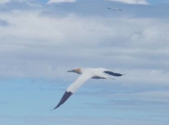
A gannet taking offA gull dinner party
As I approached Portgordon, I spent my time trying to determine if there was any pattern to the way the swell behaved. There were definitely periods when bigger waves came in, but how many at a time and the interval between just seemed random to me. I was still several hundred metres away from the harbour entrance when I had to quickly turn into the waves and paddle hard to avoid a cresting monster of a wave. Portgordon wasn’t the harbour for me.
I paddled on, thinking I’d have to head for the large commercial harbour of Buckie. But as the coast curved round from SE to NE after Portgordon, I noticed a stretch of coastline where the surf wasn’t breaking. I paddled towards it and wasn’t disappointed when I was able to make a remarkably surf free exit – I could even get my camera out before the final landing.
The calm pool of my landing spot
I think the curve of the coast here resulted in some wave defraction/refraction that dissipated the energy of the waves further up the coast. I wasn’t complaining, whatever the reason. I had a flat spot for my tent and some caravan neighbours for company. All was good, apart from one small dog who couldn’t get over me appearing from the sea and yapped incessantly.
After setting up camp and having a bite to eat, I wandered into Buckie for a bit of sightseeing and a celebratory pint of Guinness.
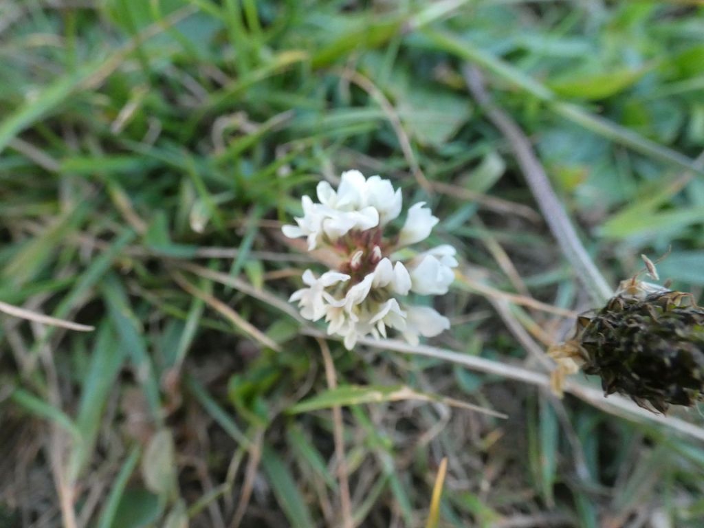
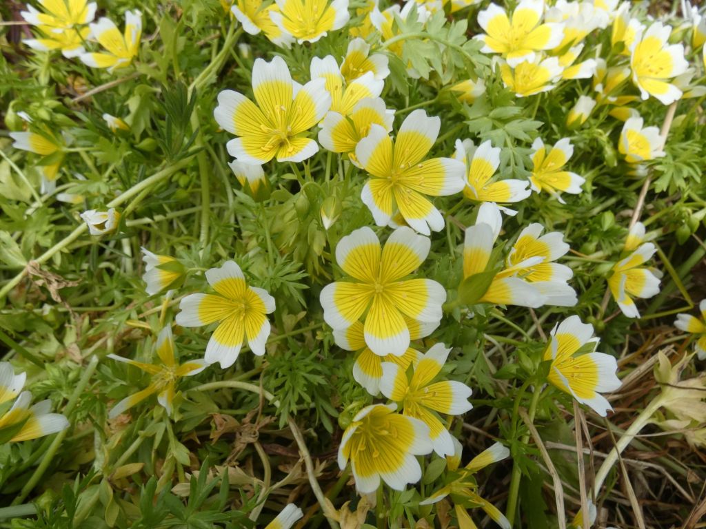
In Buckie. Not exactly wild flowers, but a lovely display anyway.
High tide was at 6.30, and a slight easterly flow would run most of the morning to provide my slow-moving kayak a little assistance. An early start was on the cards.
The Meadows had been a great place to recharge. Wanda, the host with her two dogs, provided everything we needed but left us to enjoy our break.
We were back at the Nairn Harbour slip at 6.30. The boat was easily packed, the Coastguard informed (on my new replacement VHF), and hugs exchanged before I set off to sea once again.
Down the River Nairn after exiting the harbour
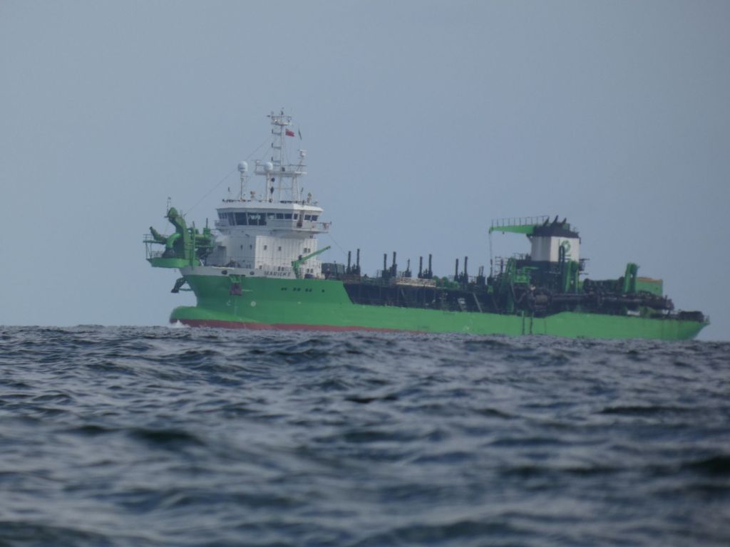
The coast between Nairn and Findhorn is low and flat with the Culbin Forest behind dunes and sandbars. Not much to draw the eye. On the north coast of the Moray Firth, I could see gorse covered cliffs, but as I progressed eastwards, the coast grew more and more distant. There wasn’t much boat traffic on the Firth, but I did have the regular passings of the green work boats taking their sand out to be dumped at sea.
Sand from Whiteness Head being dumped at sea
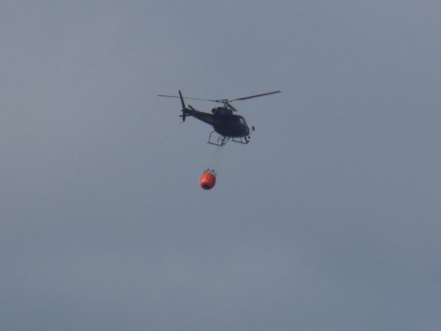
When out in Nairn over the last couple of days, we’d regularly seen smoke to the east, and Mike mentioned a report of firefighters tackling a grass fire. I no longer saw the smoke, but a helicopter was out collecting water and dropping it not far from the coast.
Dowsing a fire
I paddled past Findhorn, a stop there would have entailed landing on a surfy beach or a long detour into the bay. I chose to investigate the small fishing harbours of Burghead and Hopeman instead.
Approaching BurgheadInside the Burghead Harbour. Convenient slip on the left.Above the harbour wall
In Burghead, there were toilets and convenient picnic tables on a grassy area close to the harbour. The perfect spot for lunch and getting warmed in the sun watching the men working on their nets.
Mending nets
Hopeman is only a few kilometres east of Burghead. I didn’t need to stop again, but as I was passing close by, I took a wee nosey around the harbour.
A little surf creeps in the entrance of Hopeman HarbourThe high walls of the harbour stacked high with gear
I had considered stopping for the day at Hopeman but felt I still had the time and energy left to make it another 10 kms to Lossiemouth.
The coastline was more interesting now, but, as with my approach to Nairn, my mind was thinking ahead to exit at Lossiemouth. The north easterly wind had been blowing for a week now, and there was a good North Sea swell rolling into the Moray Firth.
Caves in the limestone cliffsA bit of coast walking away
I passed between the Covesea Skerries and the prominent lighthouse to the west of Lossiemouth. A few hardy paddle boarders were out surfing on the outside of the skerries. I watched one surf into the north side, walk a few yards on the rocks, and then confidently set off across the choppy chanel with his paddle towards the lighthouse on the shore. I needed his confidence for my approach to Lossiemouth.
I found my gap to the west of the harbour. The energy from the swell was dissipated on skerries further out, and I was able to negotiate a landing at the east end of the shore carpark.
I trolleyed my kayak a few hundred metres west to set up camp in some dunes away from the carpark. After setting up camp, I still had time to get an hour of warmth at the The Beach Hut café and bar.
This was the second of two planned rest days. The sun was out and the winds were light for most of the day. I felt a little guilty not being out on the water, but still managed to have a lovely day.
The harbour entrance at low tide. No danger of the waves crashing you into the walls nowA view to the west with Wendy above the beach at Nairn
I’m just going to do a short post to tie up a few loose ends from the first two weeks of paddling
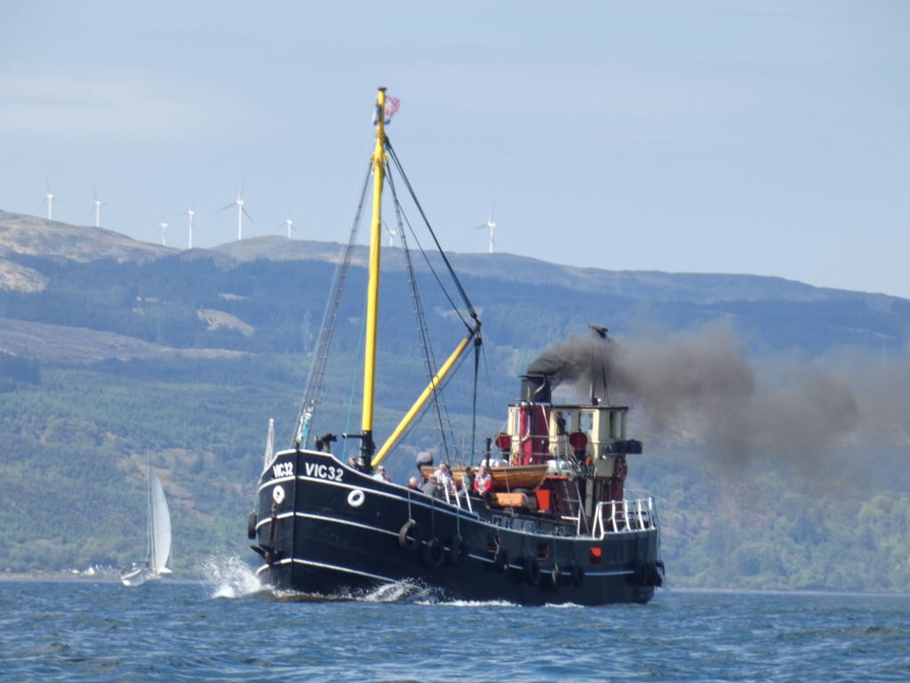
Clyde Puffer
On Day 5, I passed this boat coming down Loch Fyne:
Graeme, a friend and fellow paddler, was on Arran that week and spotted the same boat – VIC 32. He referred to it as a Clyde Puffer. This prompted me to do a little more research. The boat is indeed a Puffer and is now a tourist boat available for hire – Puffer Steamboat Holidays
Scottish Islands Peak Race
On day 9 when I arrived in Oban, I spoke with the skipper of the yacht Tahira. He had sailed up from Southampton over 10 days to take part in the race. The race actually started later than I expected, on May 16th. The first boat completed the course in just under 2 days. Unfortunately, Tahira retired with the comment – “Retired but will continue around to do the runs”. There’s a great little app – YB Races – that you can use on your phone to see the tracks and positions of all the competitors. You can even rewind to see how the race developed over time.
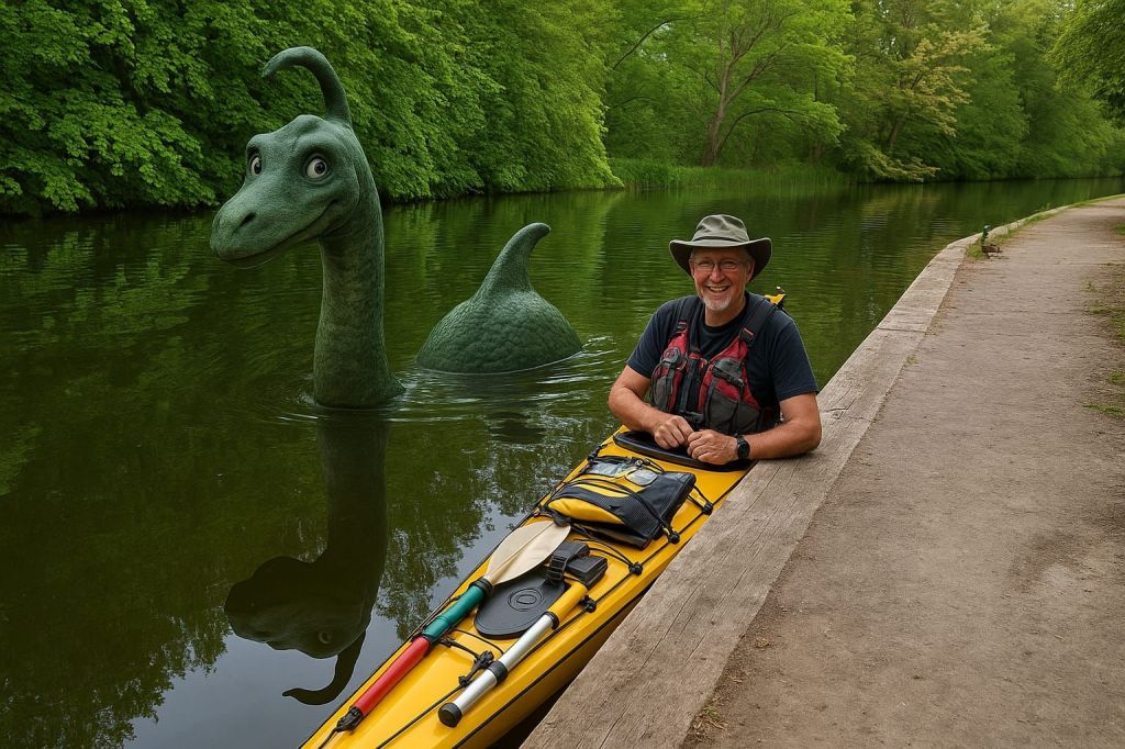
The Nessie Story
As I approached Loch Ness, I knew I wanted to do something about Nessie for my nieces who had been excited to hear that I would be seeing her. I knew AI generated images were possible, but I didn’t have the resources while out paddling to investigate how to actually do it. I decided to get in touch with the girls’ father, Will, to see if he knew any more. As luck would have it, he had just started playing with the tools a short while ago. I told him what I was planning, and within minutes he came back with a quick test image using one of my earlier blog post photos. Although, we finally went with a more ferocious Nessie, I do quite like this first slightly mischievous looking one:
We never did quite work out how to stop AI messing around with bits of the image we wanted unchanged from the original